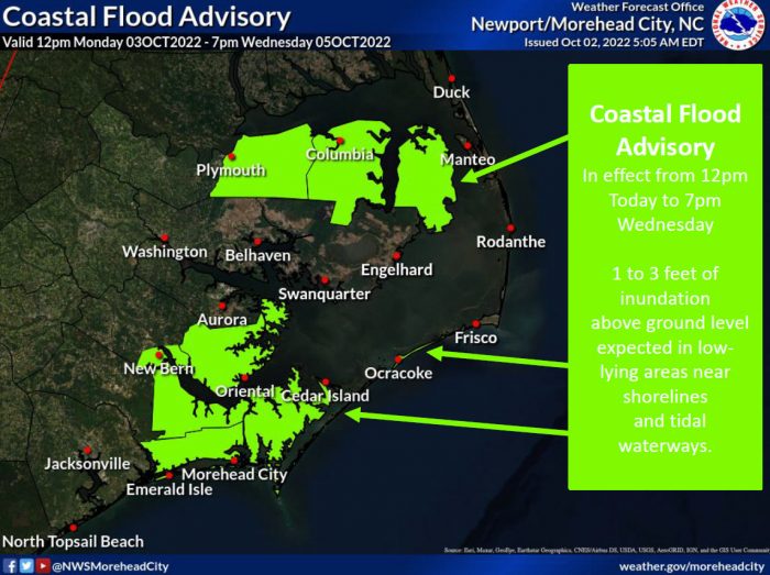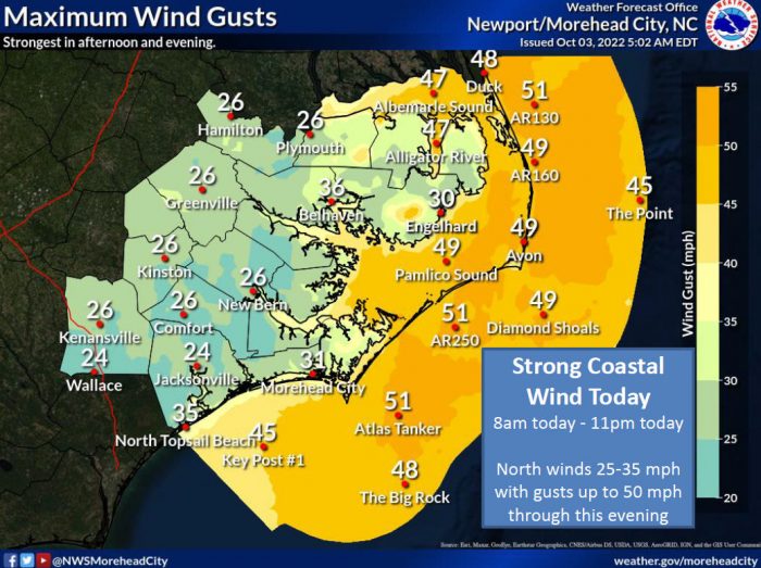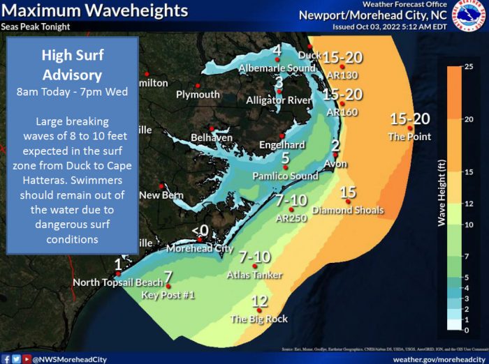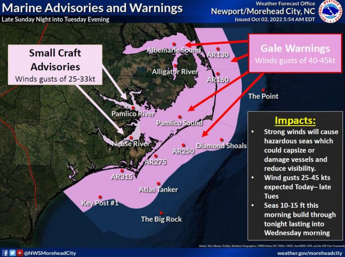
A developing low pressure system off the Mid-Atlantic coast is forecast to move slowly over the next 36-48 hours and produce strong winds, large seas, dangerous shore break, and coastal flooding across the Outer Banks, per an update from the National Weather Service Newport/Morehead City office.
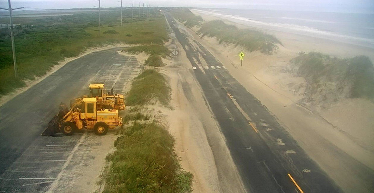
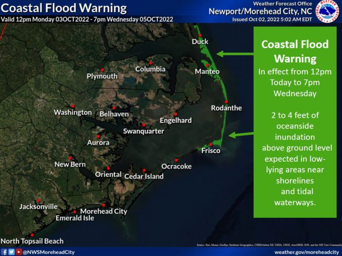
A Coastal Flood Warning is in effect for Hatteras Island and the northern Outer Banks until Wednesday, and 2-4 feet of above-ground oceanside inundation is expected in low-lying areas. Travel on N.C. Highway 12 may be impacted, especially around the next few high tide cycles, although N.C. Highway 12 was open and passable as of 8:00 a.m. on Monday.
The next high tide is at approximately 2:00 p.m. on Monday.
Minor soundside flooding with inundation of 2-3 feet is also expected for very low-lying properties and roadways adjacent to the Pamlico Sound from Monday into Wednesday.
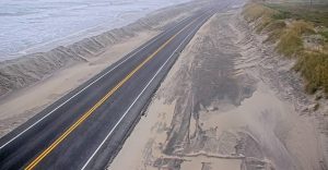
A High Surf Advisory has been issued due to large breaking waves of 8-10 feet expected in the surf zone from Duck to Cape Hatteras. Swimmers should remain out of the water due to the dangerous surf conditions.
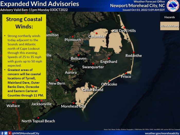
Strong winds of 25-35 mph with gusts of 45-50 mph are forecast throughout the storm, although the strongest winds are expected to diminish by late tonight.
All Dare County Schools are closed for Monday, October 3, while ferry service for the Hatteras-Ocracoke ferry has been suspended as of Monday morning due to deteriorating weather conditions.
For updated information regarding road conditions on N.C. Highway 12, follow the North Carolina Department of Transportation on Facebook at www.facebook/ncdotnc12, on Twitter @NCDOTNC12 or visit drivenc.gov.
For more information on the local forecast, visit www.weather.gov/mhx for weather information, or visit the NWS Newport/Morehead City’s Facebook page at https://www.facebook.com/NWSMoreheadCity/.
