Saturday, May 3, 2025

Dare County releases video on Flood Inundation Mapping and Alert Network flood gauges

Share post:

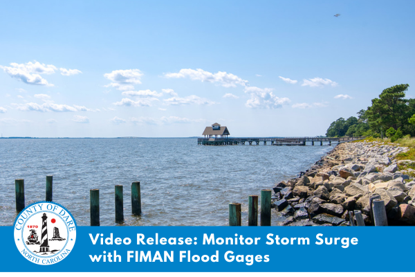
To provide critical and real-time information regarding changing water levels in specific geographic locations, a series of Flood Inundation Mapping and Alert Network (FIMAN) flood gauges have been installed throughout Dare County.

Click here to view a video showing how to sign up to receive text alerts if water levels in your area begin to rise due to storm surge, which can occur on both the soundside and oceanside of the communities that comprise the Outer Banks.

For more information about FIMAN’s flood gauges—and to sign up to receive alerts for rising water levels in your area—please visit FIMAN.nc.gov. For more information about storm surge on the Outer Banks and ways you can protect yourself and your property, please visit DareNC.gov/EM.

Trending

Subscribe

Help Support Local News! Subscribe for Free, Upgrade to Premium, or Make a Contribution.

Related articles

Vehicle wreck causes Friday night power outage on Hatteras and Ocracoke Islands

A one-vehicle collision in northern Rodanthe was the cause of a power outage that affected Hatteras and Ocracoke...

Rip Current Awareness Week: Distant storms can present up close threats

Story courtesy National Weather Service This week is Carolinas Rip Current Awareness Week, as the National Weather Service offices...

NCDEQ Division of Water Resources to hold public hearing on revision to state definition of ‘wetlands’ in rule

The North Carolina Department of Environmental Quality Division of Water Resources will hold a public hearing on June...

Early Friday morning collision results in severe injuries

A two-vehicle collision that occurred on early Friday morning, May 2, resulted in severe injuries, according to multiple...