


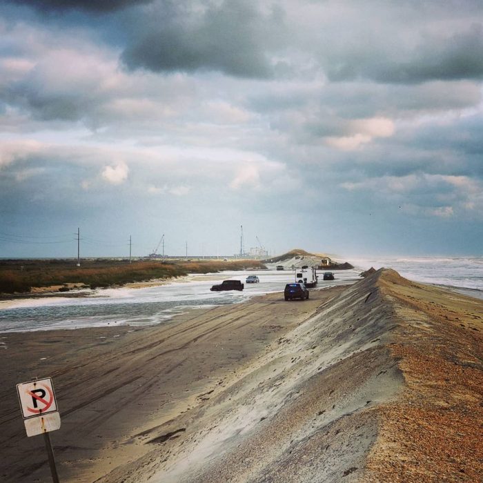
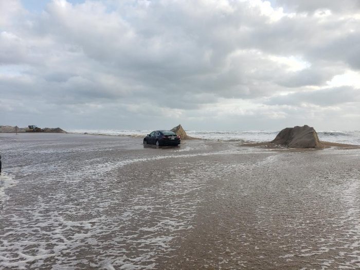
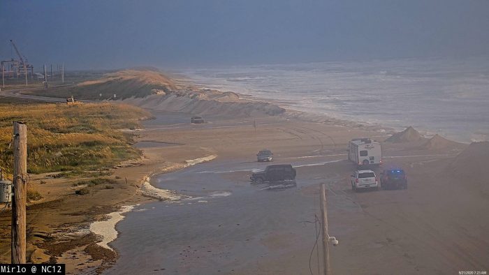
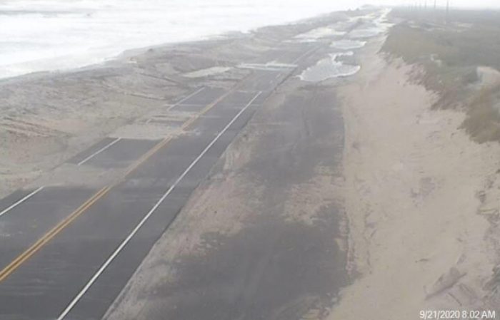
After temporarily opening on Sunday afternoon, N.C. Highway 12 closed again in between Rodanthe and Oregon Inlet on Hatteras Island, and in between the pony pens and the ferry terminal on Ocracoke Island, due to ocean overwash that coincided with Sunday night’s high tide. The highway remained closed in both locations as of Monday morning.
Last night’s high tide was the most severe of the event so far, with water and deep sand on several portions of the roadway. NCDOT crews are currently starting clearing operations, but the next two high tide cycles are forecast to produce similar results.
At this point, NCDOT expects these portions of N.C. 12 to remain closed until Tuesday (Sept. 22) afternoon. Ferry service between Hatteras and Ocracoke has also been suspended until the highway reopens on Ocracoke Island.
Stronger winds through Monday could bring more extensive coastal flooding impacts, especially for oceanside areas north of Cape Hatteras, per a recent update from the National Weather Service (NWS) Newport / Morehead City office.
Water levels and tides will likely be higher than the Outer Banks has experienced all week on Monday, and water levels are expected to peak during the morning and afternoon high tides. The next high tide is at roughly 11:00-11:30 a.m.
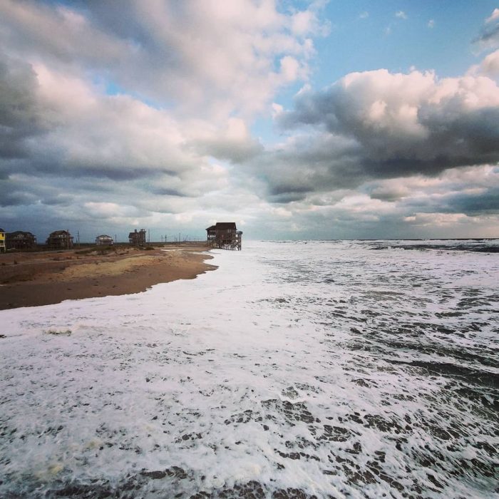
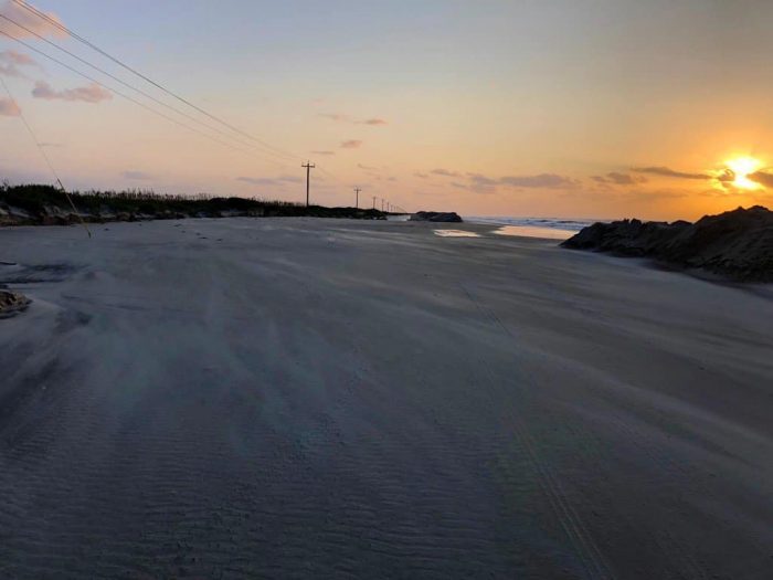
Winds will begin to subside late Monday, along with the most significant coastal flooding impacts. However, a high risk of rip currents will remain elevated through the beginning to the middle of the week. Beach erosion is also likely to continue on Monday, with 7-to-12 foot breaking waves.
A Coastal Flood Warning remains in effect for the Northern Outer Banks and Hatteras Island, and a High Surf Advisory is in effect from Duck to Surf City, N.C.
The following areas are especially prone to ocean overwash, and will likely be impacted over the next several high tide cycles:
- South of the Basnight Bridge to the Pea Island Visitor Center
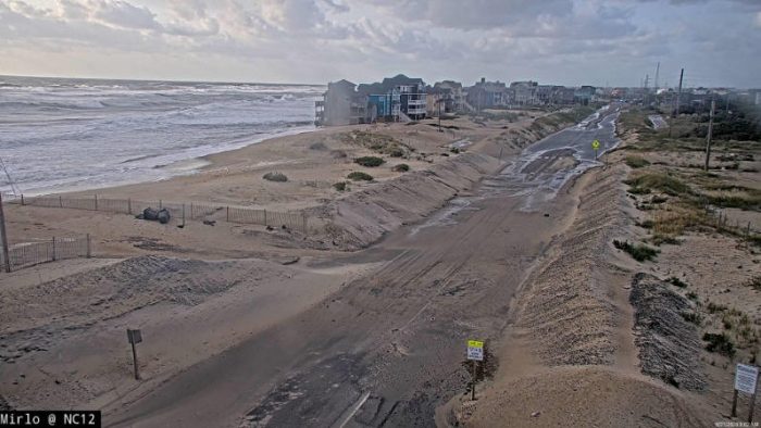
- Mirlo Beach area, on the northern edge of the tri-villages
- South of the Avon Pier along Ocean View Drive
- At the north end of Buxton
- Between Frisco and Hatteras Village
- Along Pole Rd., south of Ramp 55 in Hatteras village
- Along the north end of Ocracoke island
For more information on the local forecast, visit www.weather.gov/mhx for weather information, or the National Weather Service office in Newport / Morehead City’s Facebook page at https://www.facebook.com/NWSMoreheadCity/.
Video by Don Bowers


