Paper nautical charts will soon be sinking into the horizon, as the National Oceanic and Atmospheric Administration (NOAA) this month announced its plan to sunset over five years the hard copy maps of the nation’s waterways.
Although NOAA’s Office of Coast Survey has for years offered several digital formats for raster charts – that is, the electronic version of the paper chart – to print or download, the paper charts have also been provided by request. The electronic charts have been available since 1993.
But with demand half of what it was a decade ago, the traditional charts are more likely to be found as handsome wall art for landlubbers than in pilothouses of vessels.
“If you’ve got paper charts, they’re great as collectors’ items,” Kyle Ward, NOAA Office of Coast Survey navigation manager for the southeast region told the Dare County Waterways Commission at its recent meeting in Manteo, as he clicked through slides of electronic charts. “This will be the only version when paper dies.”
But at the same time, NOAA is looking at adding a sweetener for mariners who transit inlets, which have been regarded as too dynamic to merit inclusion of hydrography or aides to navigation data that is on other ENCs. Ward said that test model charts with that additional data has recently been published for three inlets in North Carolina – Oregon, Ocracoke and Masonboro.
“The intent is to see the response from the local community,” Ward said.
Part of what NOAA will be considering in evaluating the models, he added, include how fast the inlet changes, how quickly updated data can be provided, how quickly products can be updated, how the level of effort has changed, and what mariners expect of the system.
Ward said that NOAA will also consider adding other inlets to the system if a request is made, he said. At that, the Dare County Waterways Commission voted unanimously to ask NOAA for an electronic chart for Hatteras Inlet.
The test charts layer additional data on NOAA’s current electronic navigational charts, or ENCs, from the U.S. Army Corps of Engineers’ eHydro’s hydrographic surveys and the Coast Guard’s ATON, or aides to navigation, and U.S. Geological Survey bathymetry.
“There’s a whole lot of channels the state has surveyed and the Corps has surveyed that’s not on there,” said commission chair Steve “Creature” Coulter, referring to Hatteras Inlet.
Responding, Ward said that as long as they pass muster in evaluations, NOAA is open to additional data sets that could be useful to mariners.
“If they’re willing to give us the data, we’re willing to put it on the chart,” Ward said.
Ward encouraged mariners o provide input to NOAA about the inlet models. For now, there is no set time for closing the comment window.
“We want to get feedback from our customers who use it,” he said.
NOAA’s Office of Coast Survey, established in 1807 by Thomas Jefferson, is responsible for navigation maps and services within waters 200 miles from U.S. states and territories. Currently, there are an estimated 16 million boats in the U.S, the majority of which are small recreational vessels. Raster charts are digital or paper images of traditional nautical charts. Color pixels in the images form the text and symbols in the chart. In contrast, ENCs can also store features, such as location, and detailed records associated with it, such as shape and quality.
“Anything we’re doing now that looks like raster, won’t be available,” Ward said.
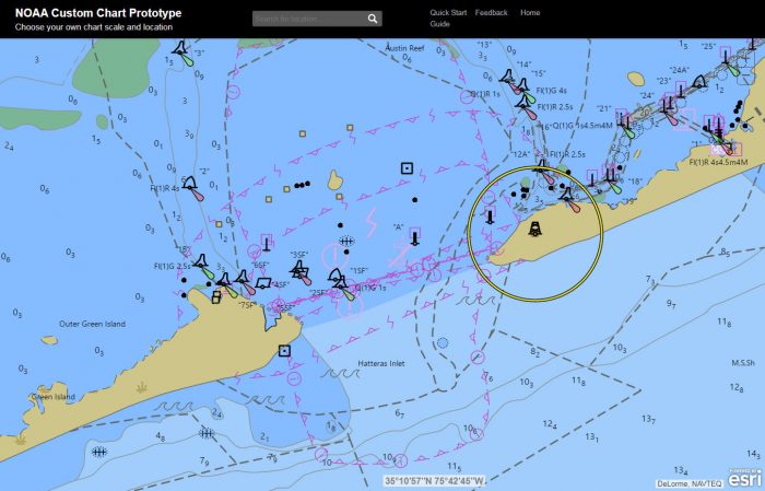
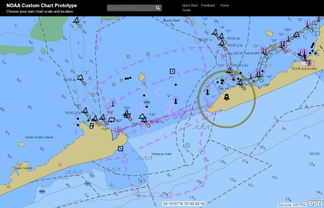
Phased cancellation of paper and raster services will start in mid-2020 and be completed by 2025. However, an online NOAA Custom Chart application will be available for users to make their own chart centered on their chosen coordinates. The resultant chart would be geo-spatially referenced, custom scaled and sized, with chart notes placed on a separate PDF page. It could be downloaded, viewed or printed, essentially serving as a backup to the ENC.
Historical nautical charts going back to the mid-1800s will also be available to download for free from the Coast Survey Historical Map & Chart Collection website.
According to information provided by NOAA, ENC sales have increased 425 percent since 2008, while sales of paper charts have dropped by half.
“Similar to the transition from road atlases to GPS navigation systems that we have witnessed in this digital era,” the NOAA information said, “we are also seeing the increased reliance on NOAA electronic navigation charts (ENC) as the primary navigational product and the decreased use of traditional raster chart products.”
There are currently about 1,258 electronic navigational charts and 1,007 raster/paper charts, according to NOAA. As part of the phase-out of paper, NOAA is also creating a standard gridded layout and increasing the scale of ENCs, which in turn increases the level of detail and consistency. By the time the 5-year process is completed, the number of detailed NOAA electronic charts will be about 9,000.
The federal notice announcing the sunsetting of paper and raster charts was published on Nov. 15. The comment period ends on Feb. 1, 2020.
“We’re really using this first year to take public comments,” Chris van Westendorp, chief of NOAA’s navigation services division, said in an interview.
Since 1966, Coast Guard regulations have mandated that commercial vessels carry charts. In 2002, the regulation expanded to permit certain electronic charts. But so far, van Westendorp said there is no plan to disallow paper charts or to limit charts to only electronic navigation.
“I don’t think that we are far enough in the process working with the Coast Guard to make that kind of call. We’re definitely moving in the direction of being paperless.”
As far as the increased vulnerability of digital data, van Westendorp said that NOAA “has pretty rigorous security in place” to prevent hacking of the ENC.
Ultimately, the ENC upgrade will create a better product for mariners, he said. Charts will have increased resolution and offer images in better scale. More data updates will be able to be added more quickly to the charts. In short, the nautical charts will benefit from the flexibility, responsiveness and immediacy of digital platforms.
Still, some see paper navigational charts as beautiful, almost romantic, maritime tools. People like the tactile nature and time-honored functionality of paper charts.
“I do get that moving away from this traditional process there’s kind of a grieving process,” van Westndorp said of the switch to digital-only. “I think the possibilities are endless. I really believe that moving to the ENCs completely is really going to improve the overall safety of navigation for our mariners who use our products.”


