New interactive mapping tool shows location, size of shellfish leases
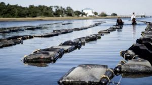 The Shellfish Lease and Aquaculture Program at the N.C. Division of Marine Fisheries has launched a new interactive mapping tool to assist the public in finding information about shellfish leases in North Carolina.
Potential shellfish growers, riparian property owners, and others interested in shellfish leases can use the tool to find the location, size, and other information about active and terminated shellfish leases. North Carolina leases public water bottom and water column areas for private shellfish cultivation purposes. Those areas are commonly referred to as shellfish aquaculture leases or shellfish leases.
The public can also use the mapping tool to track pending shellfish lease applications including the size and location of the proposed shellfish lease, and the status of the application.
“The Shellfish Aquaculture Tool is a valuable database that will help shellfish growers identify potential locations for new shellfish leases and serve as a resource for fishermen, tourists, and others who use the state’s public trust waters for recreational or commercial activities,” said Jacob Boyd, Habitat and Enhancement Section Chief. “This is part of an ongoing outreach initiative to provide up-to-date information to potential shellfish growers, riparian owners, and other stakeholders interested in shellfish leases and aquaculture.”
A link to the Shellfish Aquaculture tool, as well as a user guide, is available on the N.C. Shellfish Lease and Aquaculture Permitting Program webpage [portal.ncdenr.org]. The recently updated webpage also includes links to educational materials and other resources that help answer questions about shellfish aquaculture in North Carolina.


