Launching the Outer Banks Scenic Byway By JOY CRIST
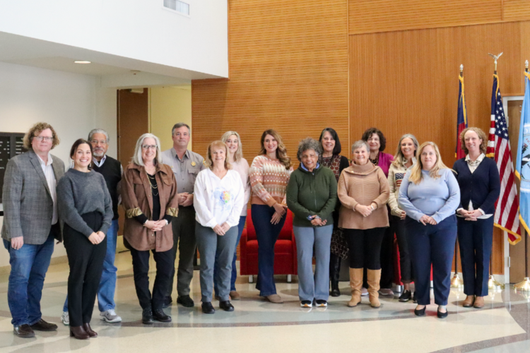
At a meeting of the Outer Banks National Scenic Byway Advisory Committee on Tuesday, April 5, at the Hatteras Realty office in Avon – the same office that has hosted dozens if not scores of these meetings over the past 13 years – the official signs for the highway were unveiled, to the delight of representatives from a number of the community’s most beloved landmarks and sites.
The meeting was held to help local sites of interest and community businesses “show the way,” and have the ability to both explain the national byway designation and share the stories that the Outer Banks is legendary for.
“What kind of stories are we telling the visitors that come here?” asked Mary Helen Goodloe-Murphy, the director of the Advisory Committee and a leader for the byway project since the very beginning. “Visitors want to know our stories – that’s why they come to the Outer Banks.”
In essence, the National Scenic Byway designation is just a part of the story. There are also a number of interpretive trails inherently set up along the route that highlight outdoor recreation, maritime history, community heritage, and other enviable aspects of Outer Banks living.
Goodloe-Murphy also made it clear that the designation itself would lead more people to the area — especially in the shoulder seasons — and that it is an accomplishment that’s certainly worthy of celebration, and sharing.
“We’re one of a 150 scenic byways in the nation, and it’s a number that’s not going to grow,” she said. “This is a very prestigious designation, and everyone should be proud to be part of this byway.”
Though the hard work of the Advisory Committee – as well as countless partners from across the state – has been relatively behind the scenes up to this point, this is all about to change.
More than 160 signs are about to be installed from the Down East area of Carteret County to the tip of Bodie Island at Whalebone Junction to broadcast the designation, as well as point out culturally and historically significant points of interest, like the Chicamacomico Life-Saving Station, the Graveyard of the Atlantic Museum, and, naturally, the Cape Hatteras and Ocracoke lighthouses.
In addition, a new website was launched for the byway, http://outerbanksbyway.com/, which provides plenty of information on the project and the area, and a book is being published on the route by Arcadia Publishing, entitled “Outer Banks Scenic Byway,” as part of the Images of America series. The book is by Doug Stover, who is now retired from the National Park Service but was the cultural resource manager and historian for the Cape Hatteras National Seashore for many years.
This is all in addition to a new Facebook page, evergreen press releases, eye-catching pamphlets on the different trails within the byway, and an ongoing effort to make sure people know that the Outer Banks is on the map.
It’s a safe bet that word is about to get out about the designation in a big way, but the road to get here – like Highway 12 itself – was certainly not a short one.
It all began in 2003, when a grassroots committee began an effort to achieve the coveted designation. The stretch of highway from Whalebone Junction to Carteret County became a North Carolina Scenic Byway first, and was given the national designation in 2009.
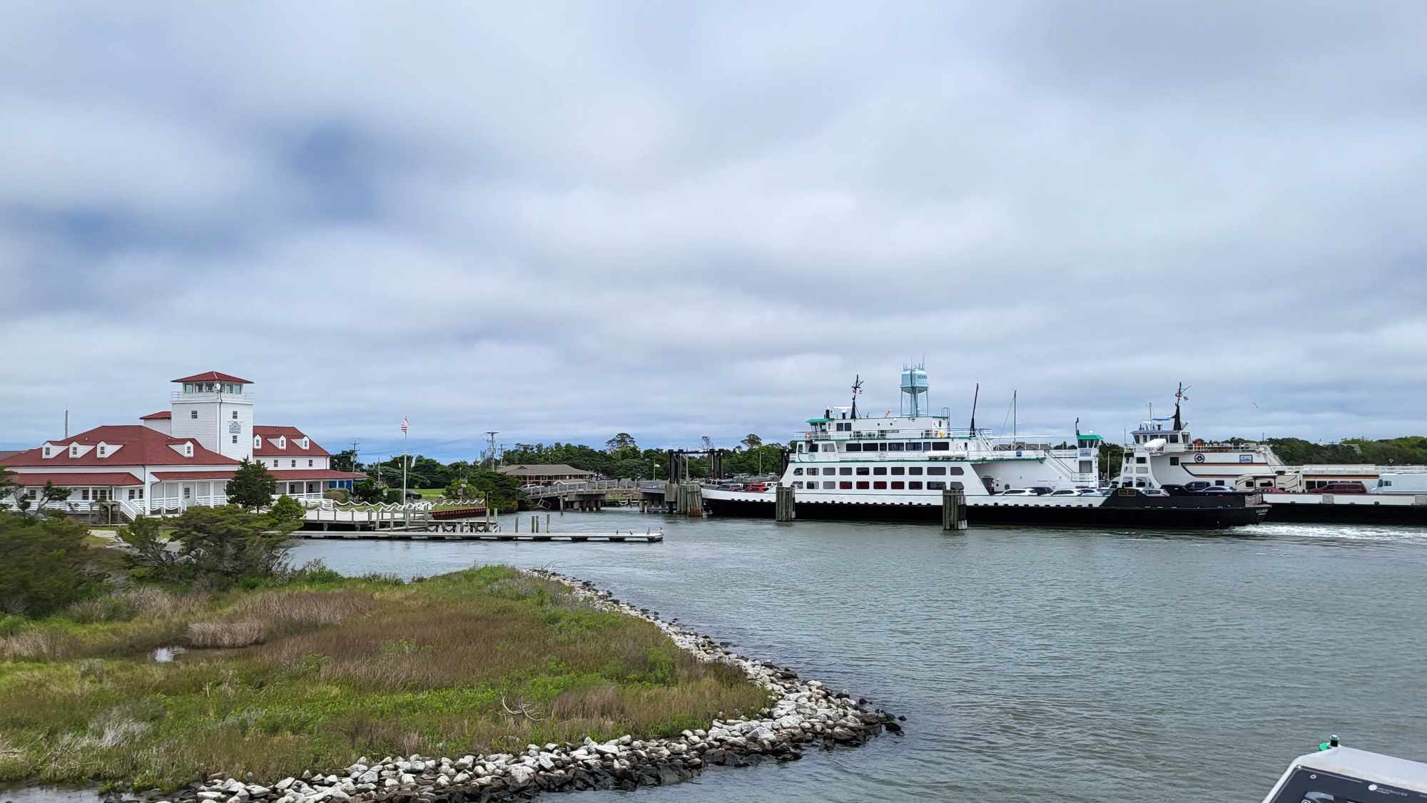
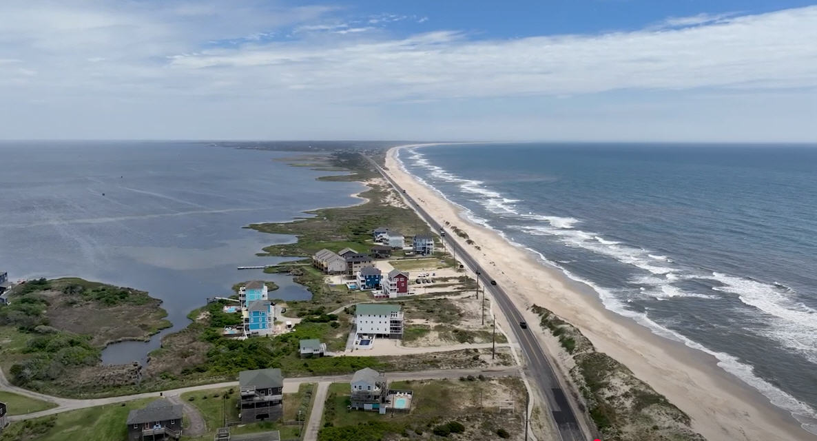
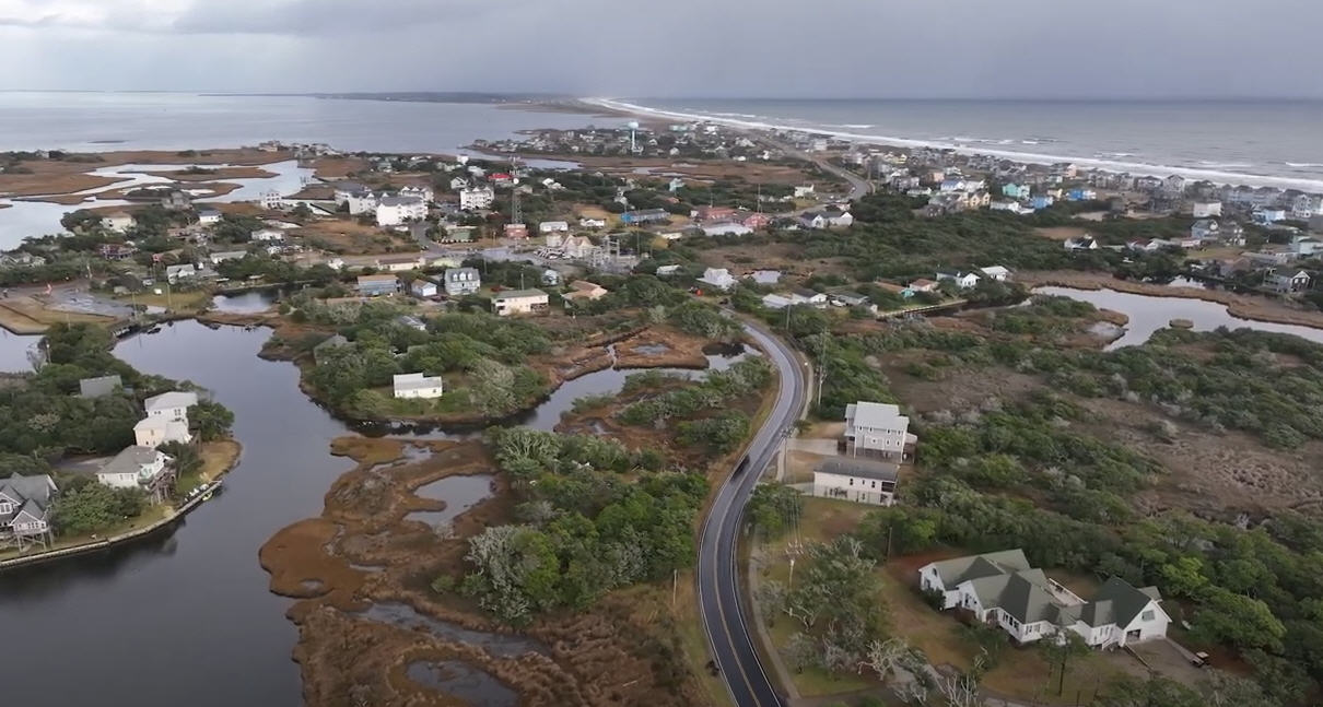
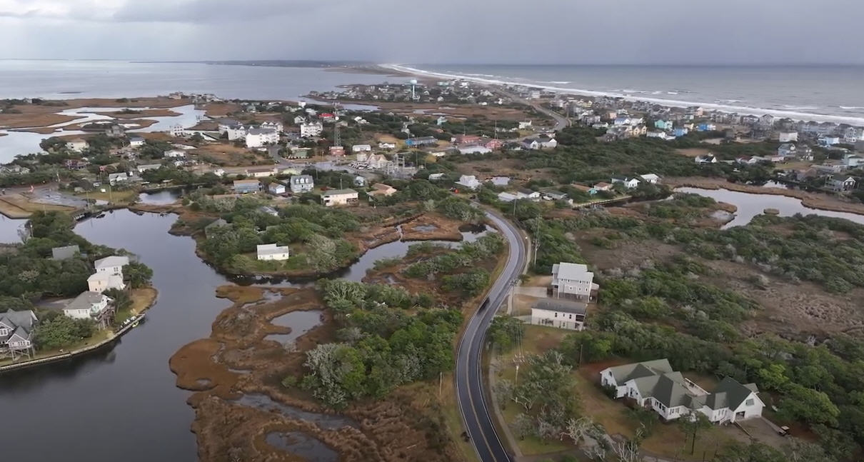
It is currently one of only three National Scenic Byways in North Carolina — the other two are the Cherohala Skyway and the Forest Heritage National Scenic Byway — and is easily one of the most unique byways in the country. Encompassing 138 driving miles and 25 miles of ferry travel, the Outer Banks byway stands out for its geography and combination of roadways and open water.
In 2011, the graphics and icon for the National Scenic Byway signs and materials were approved, after massive community outreach and much consideration. The graphics, essentially, had to tell their own story of the area, while not singling out a particular region of the more than 100-mile stretch of coastline.
“We started talking with the committee in 2011, because we had experience with byway projects,” said Breanne Bye, the Iowa-based designer who created the finished project. “We had to think ‘What’s the best way to let visitors know the byway exists?’ and we started working with the committee on answering this question.”
The end result is sharp and eye-catching, to be sure. Boasting the outline of a non-descript lighthouse, (appropriate considering there are a total of four lighthouses along the byway), a sliver of sandy beach, a patch of open water, and a boat resting on marshy grass, the icon certainly encapsulates the past and present of the Outer Banks.
“It’s been such a pleasure for someone from land-locked Iowa to be on the Outer Banks,” said Bye, “and we were so pleased to be involved in this process.”
The attendees of the meeting – many of whom had been going to the meeting for years – were also impressed with the final work.
“It’s a long time coming,” said John Griffin, president of the Chicamacomico Lifesaving Station Board of Directors. “I remember when the logo was decided on, and I thought ‘Now we have a logo to put on signs.’ And today, we’re looking at the actual signs! It’s very exciting.”
The reason for the long wait from the idea’s conception to the final product is fairly simple. Like any massive project that requires grant funding, there was a lot of time-lapse in between application and approval along the way. And with multiple grants, and multiple parties and government agencies involved, there were many moving parts to both achieving the designation, and then finding the resources to publicize the title the way it deserves.
Some 130 general “National Scenic Byway” signs will be installed all along the highway, typically adjacent to the road route signs. Measuring 24 inches-by-42 inches, these signs are designed to assure visitors traveling along the quiet highway that, yes, they are on the right track.
In addition, approximately 30 directional signs will also be installed, directing travelers to local points of interest, such as lighthouses, historic sites, and museums.
Several “Welcome to the Outer Banks Scenic Byway” signs will also be established, as well as byway orientation panels at the ferry docks and other central sites that indicate particular regions that are worth exploring.
The points of interest on the orientation panels include the obvious to frequent Outer Banks visitors, such as the Graveyard of the Atlantic Museum or the Chicamacomico Life-Saving Station, but will also include some lesser-known gems as well, such as the Little Kinnakeet Lifesaving Station, Sandy Bay, the Salvo Post Office, and the British Cemetery.
The entire installation project is expected to be completed by May, so locals and visitors alike can look forward to spotting the signs in abundance within the next few weeks.
And while a big chunk of the 13-year National Scenic Byway project appears to be done, for members who have been there since the beginning, there’s still plenty to do.
Vicky Barris, a committee member who has been involved since the first 2003 meeting at Hatteras Realty, attested that it was a great day made possible by countless people, but that the committee’s work wasn’t done just yet. “Now, we need to promote it, and we need to keep it fresh in people’s minds,” she said at Tuesday’s meeting.
But even though the hardworking committee members haven’t slowed down — even after this giant leap forward — the Outer Banks National Scenic Byway has nevertheless reached a huge milestone.
With the installation of attention-grabbing signs, a new book, and a newly established web presence, locals and visitors alike can look forward to the term “Outer Banks National Scenic Byway” becoming a regular part of the regional vernacular.
So, if you haven’t heard about our homegrown byway yet, don’t worry.
You definitely will.


