Hatteras and Ocracoke Islands’ Winter Storm of 2025 in Photos – Part 1
Video Player
00:00
00:00
Cape Hatteras Lighthouse on Wednesday morning. Video by Janet Morrow Dawson.
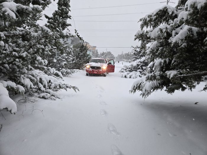
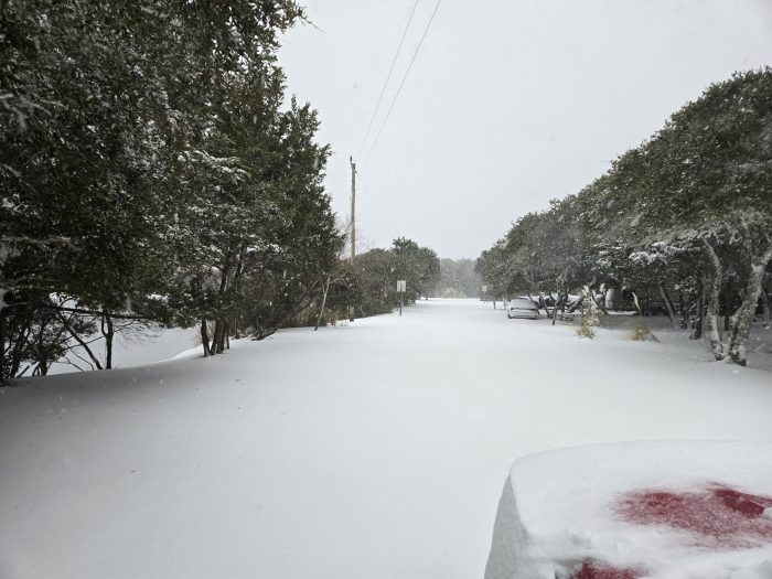
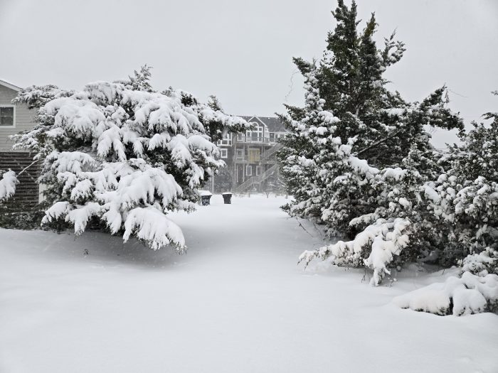
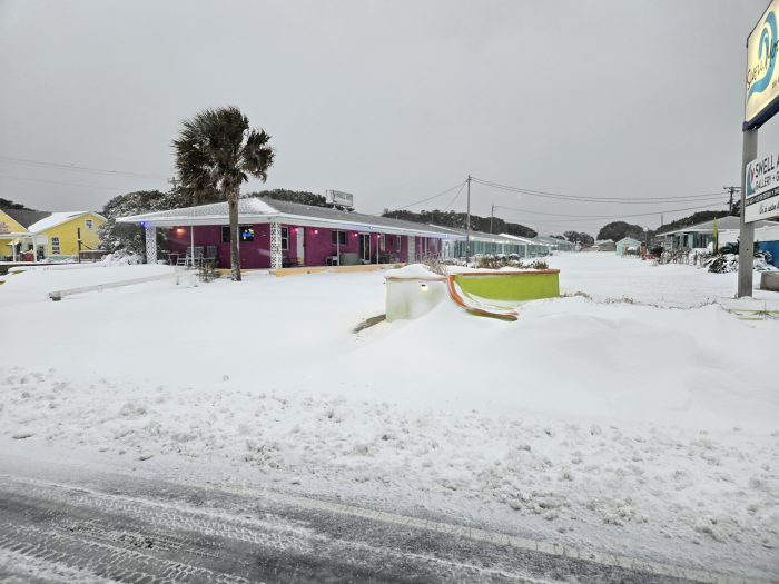
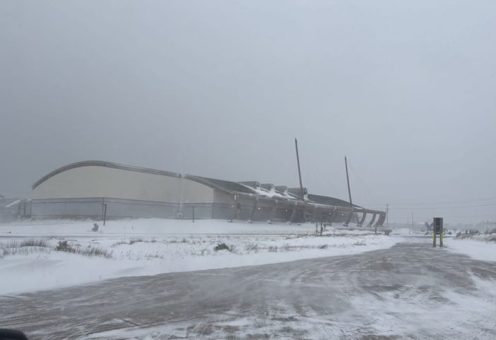
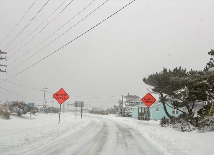
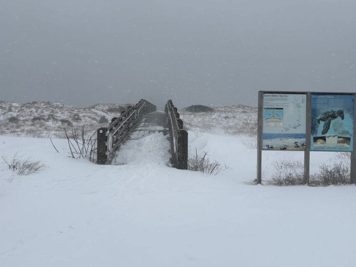
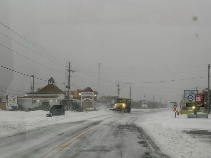
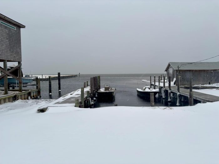
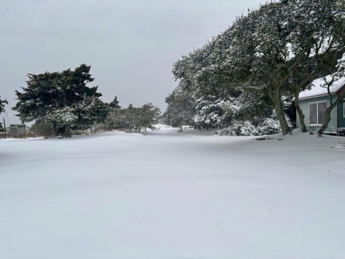
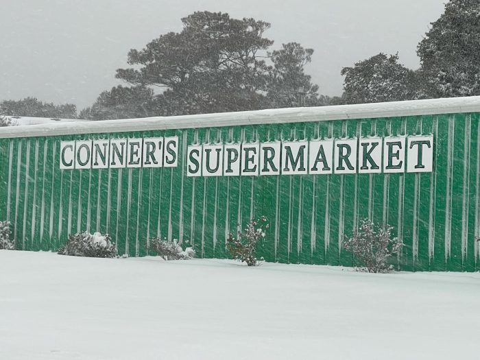
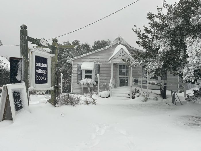
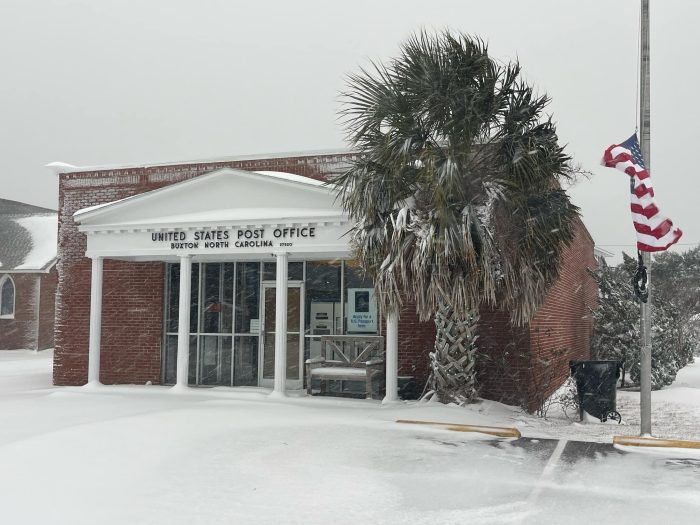
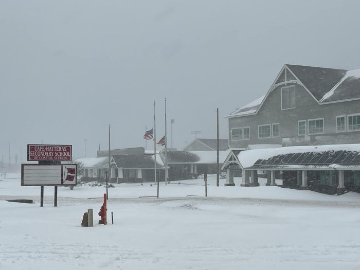
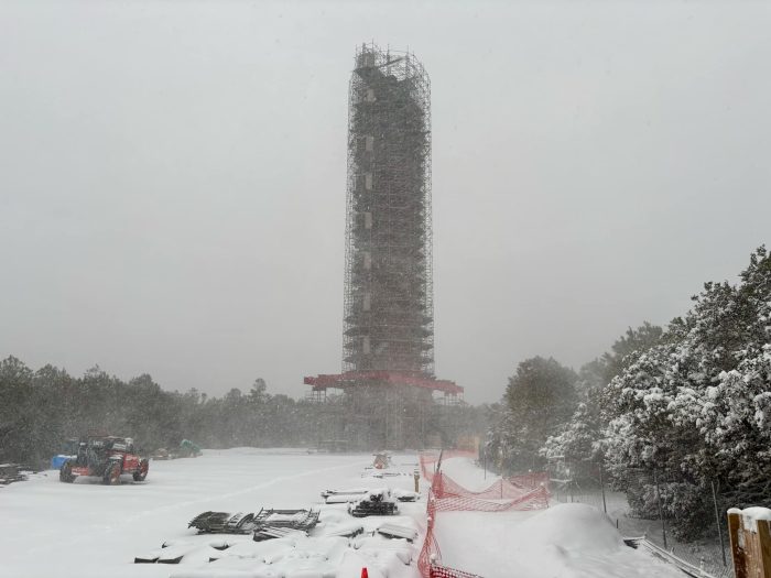
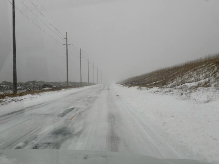
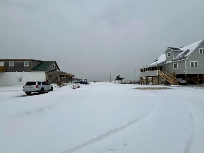
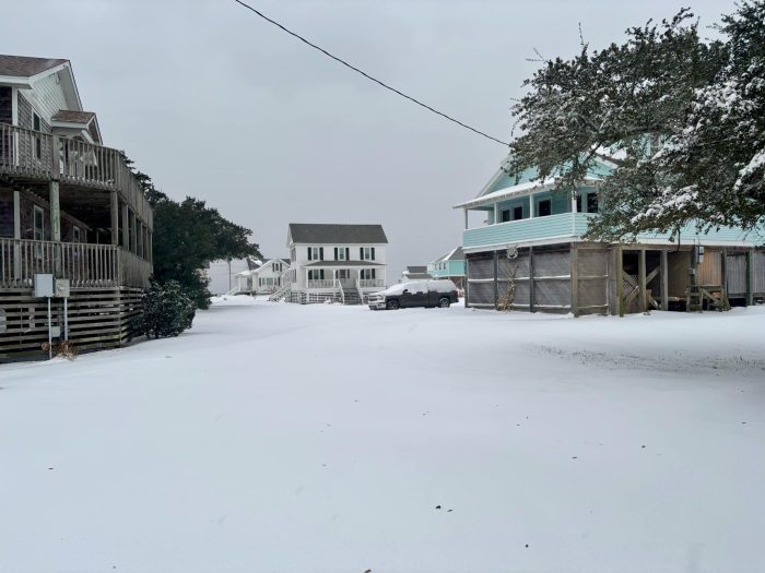
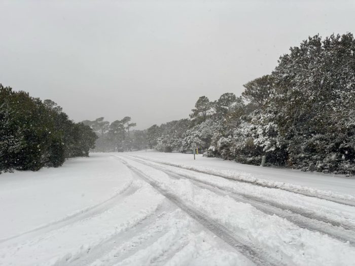
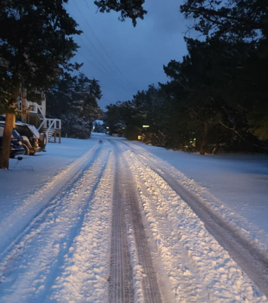
Hatteras and Ocracoke Islanders were out early Wednesday morning to brave the adverse weather conditions and capture the snow accumulations from the Winter Storm of 2025.
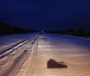
The last time the islands saw substantial snow accumulation was back in 2018, when a “Snowicane” hit the Outer Banks in late January.
At least 5-6 inches of snow fell overnight, and another half inch or inch of additional snow is expected on Wednesday morning, according to an update from the National Weather Service (NWS).
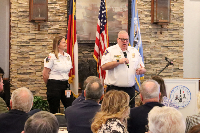
“Snow is still falling over Hatteras and Ocracoke, and we’re expecting that to happen for the next few hours after sunrise, before it tapers off late this morning,” said Morgan Simms, meteorologist with the NWS Newport/Morehead City office. “It will be dry and cold tonight, and the snow will knock those temperatures down, so driving conditions will remain dicey.
“On Thursday, we’ll have a little warmer [weather] over the Outer Banks, and will get some rain, which might help expedite the snow melting. The heavier snow is coming to an end right now, and we might have an extra half inch to an inch of accumulation. It will be light compared to what we have seen overnight.”
Early snow accumulation estimates include 4-6 inches in Ocracoke Village, 5-7 inches in Frisco, and 5-7 inches in Avon, with wide variations and areas of deeper snow due to drifts.
For more information on local weather conditions, click here.
For more photos from the Winter Storm of 2025 on Hatteras and Ocracoke Islands, click here.

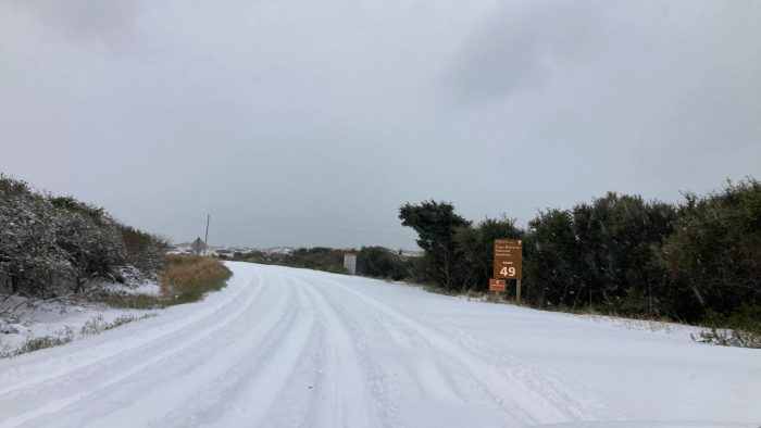

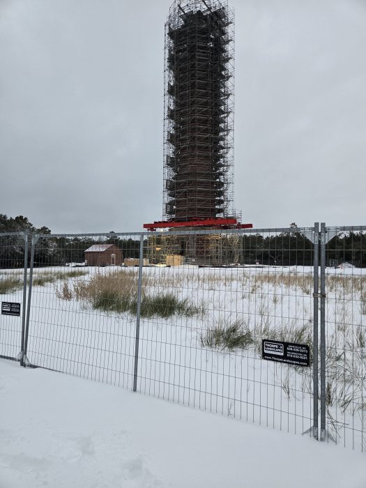

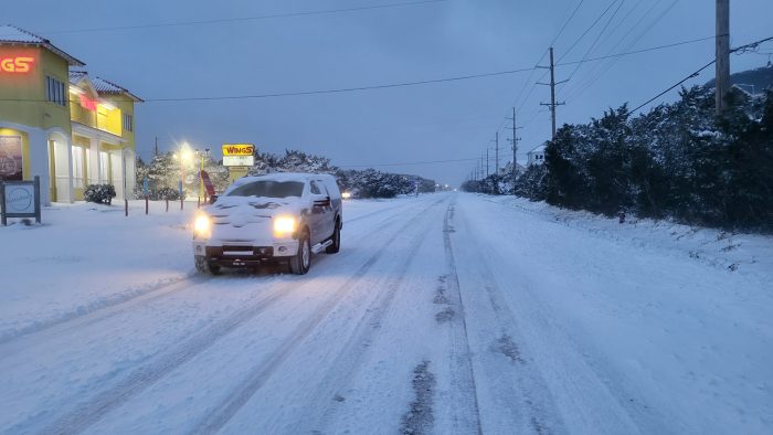
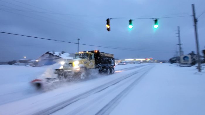
Video Player
00:00
00:00
Avon Harbor on Wednesday. Video by Mandy Haage Fuller
Video Player
00:00
00:00
Avon on Wednesday. Video by Mandy Haage Fuller
Video Player
00:00
00:00
Cape Hatteras Lighthouse on Wednesday. Video by Mandy Haage Fuller
Video Player
00:00
00:00
Buxton Beach on Wednesday. Video by Janet Morrow Dawson.














Awesome pictures. I was in Avon two weeks ago. Would have loved to be there for the snowstorm of 2025!.