High winds, coastal flooding possible on Sunday
By IRENE NOLAN
The National Weather Service in Newport/Morehead City is advising Outer Banks residents to batten down the hatches on Sunday and Sunday night as yet another coastal storm forms off the Southeast U.S., rapidly deepens and strengthens, and moves quickly off to the northeast.
On the southern Outer Banks, we can expect high winds, possible coastal flooding on both the soundside and oceanside, and heavy rains that will possibly cause flooding problems with ground that is already saturated with three or more inches of rain that we’ve had in the past two days.
And the effects could be more impressive than the last few in the constant parade of offshore coastal storms that have brought us nasty weather this fall and winter. The Weather Service describes this as a “major” coastal storm that could “bomb out” Sunday and Sunday night.
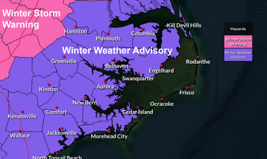
The Weather Service this afternoon issued a high wind watch that is in effect from 10 a.m. Sunday until 4 a.m. Monday morning. Winds are forecast to blow a sustained 25 to 45 mph with gusts to 60 from the north and northwest — considerably higher than last weekend’s northeaster.
A storm watch is also in effect for coastal waters for winds from 30 to 40 knots with gusts to 55 knots and seas from 8 to 13 feet.
The Weather Service has also issued a coastal flood watch for both soundside and oceanside flooding from 9 a.m. Sunday until 4 a.m. Monday.
A moderate water level rise of 3 to 5 feet above normal is possible on the soundside of southern Hatteras Island and Ocracoke — again higher predictions than last weekend.
On the ocean side, water levels of 2 to 4 feet above normal are possible, along with ocean overwash and beach erosion from Cape Hatteras north.
The Weather Service says the watches may have to be upgraded tomorrow to coastal flood and high wind advisories or warnings.
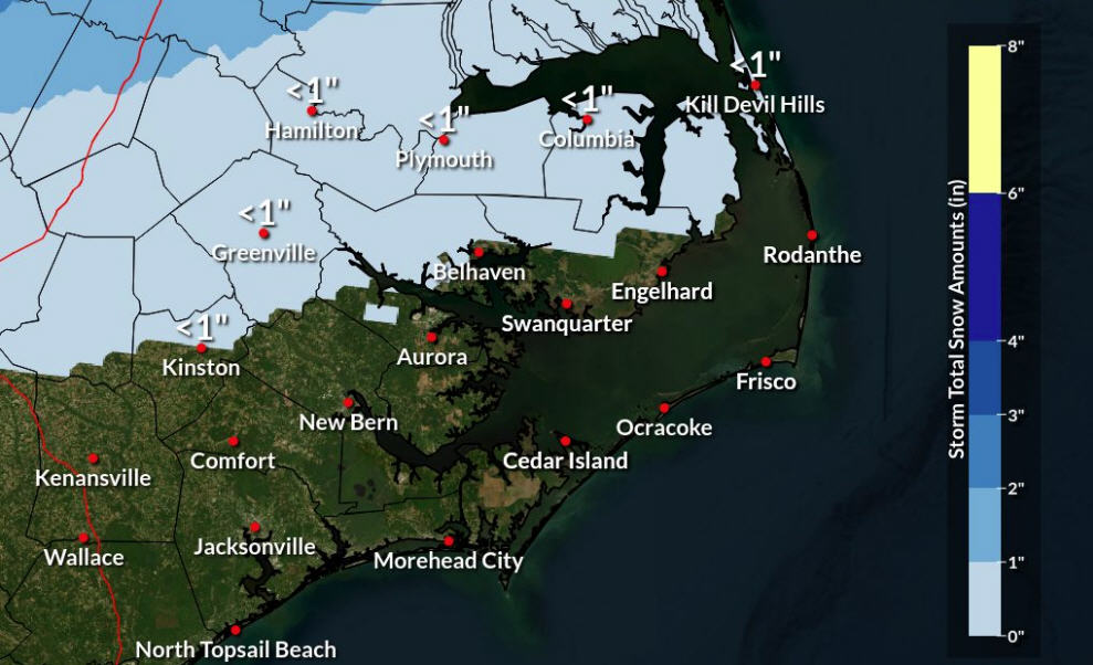
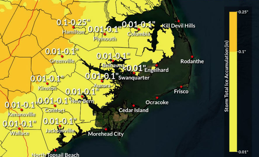
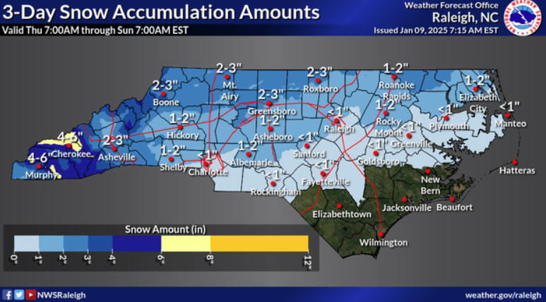
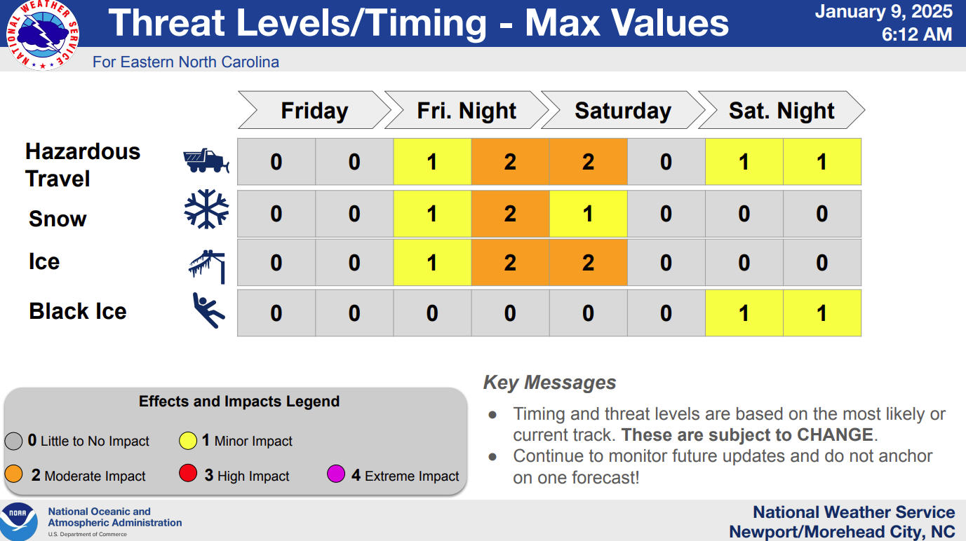
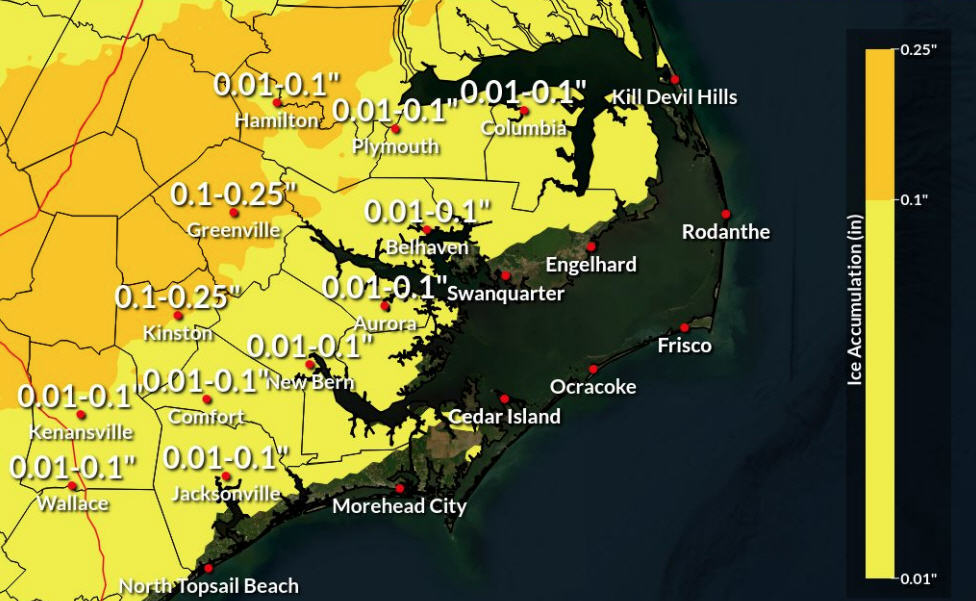
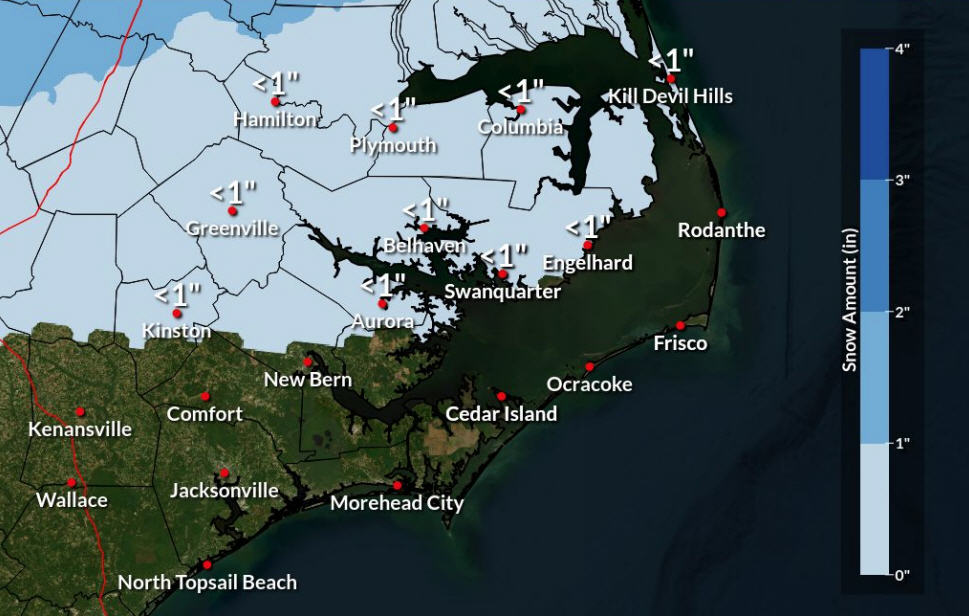
Heavy rainfall could also fall on our already soggy islands and cause ponding of water in the roadways. Some wintry precipitation is possible Sunday night to the north and west of the Outer Banks.
What actually happens on Sunday — how hard the wind will blow, how high the tide will rise, and how much rain will fall — will depend a lot on how close to the coast the low pressure area tracks.
Residents and visitors should check updated forecasts and watch for further advisories and/or warnings. Updates are available at www.weather.gov/mhx or on the Newport/Morehead City Weather Service Facebook page.


