Smaller, Faster Coastal Storm May Bring High Winds and Minor Coastal Flooding
A second March storm that is faster and weaker than the storm that pounded the coast last week began to impact the islands on Monday with heightened winds and rain.
Minor soundside flooding 1 to 2 feet above ground is expected, as well as minor ocean overwash, beginning late Monday afternoon through Tuesday.
Soundside areas adjacent to the southern Pamlico Sound from Oregon Inlet to Cedar Island, and oceanside areas north of Cape Hatteras, are forecast to be most affected.
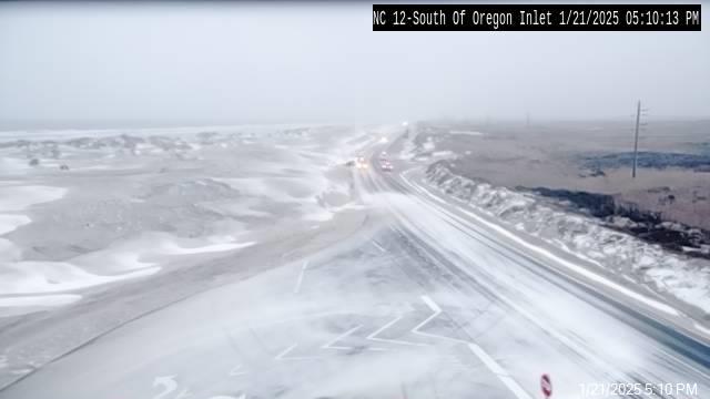
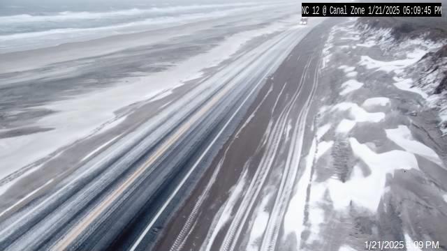
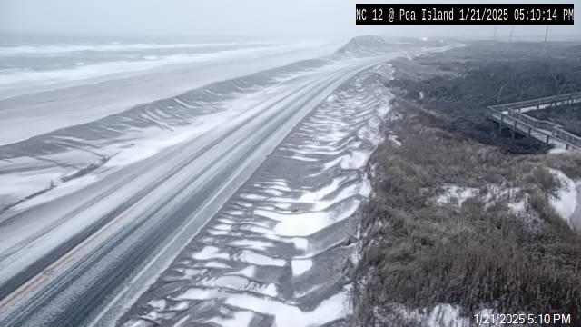
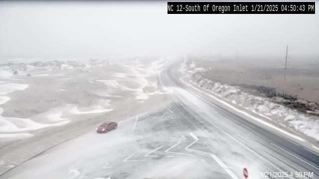
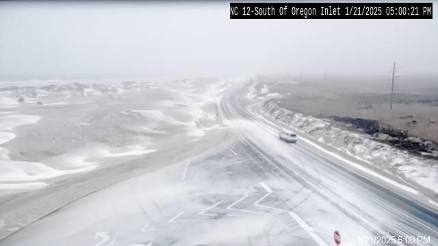
Portions of N.C. Highway 12 that are already vulnerable from the previous storm may be impacted between Oregon Inlet and Hatteras, especially at times of high tide.
The next high tide is around 5 p.m.
High winds are also forecast for Monday and Tuesday, with maximum sustained winds of 35-38 mph forecast for the islands, and maximum wind gusts of 45-48 mph.
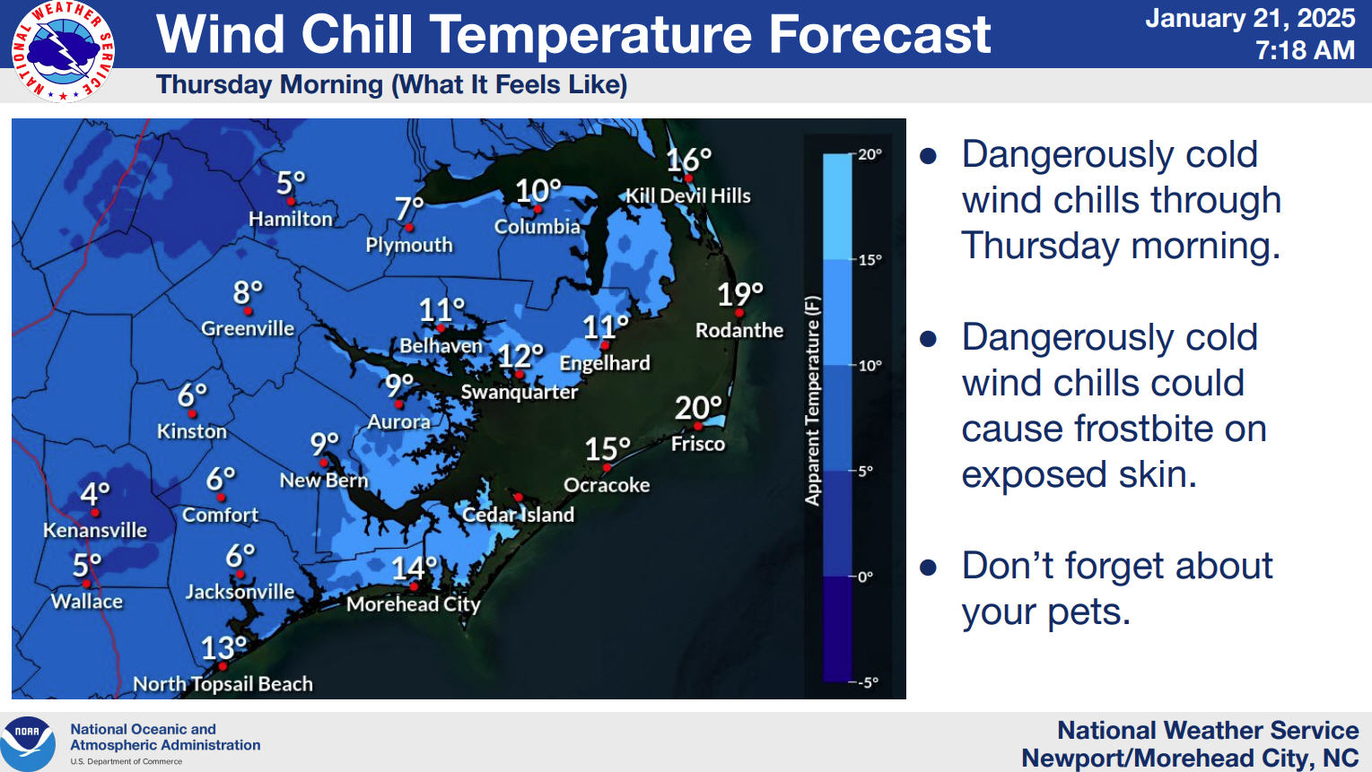
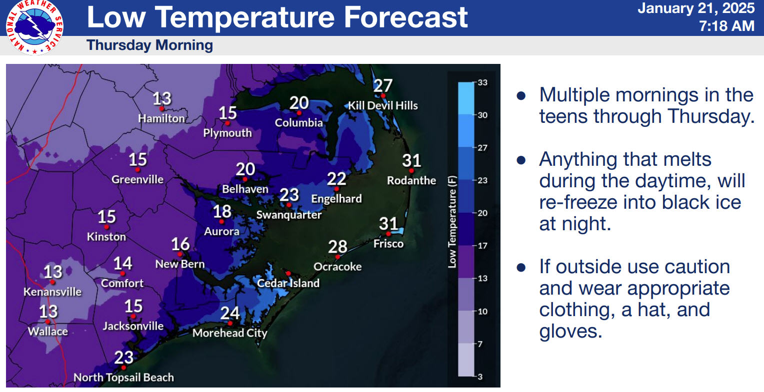
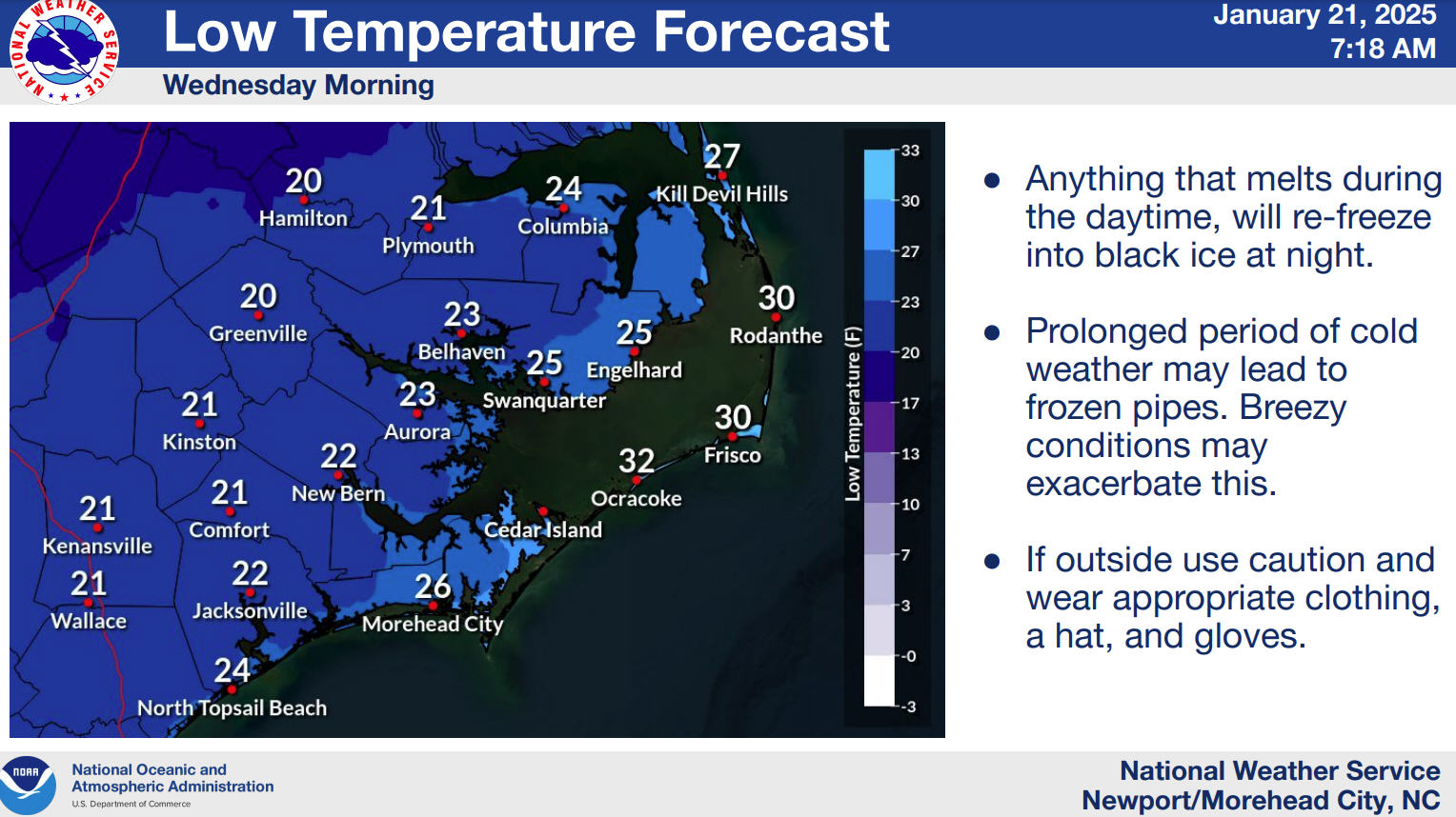
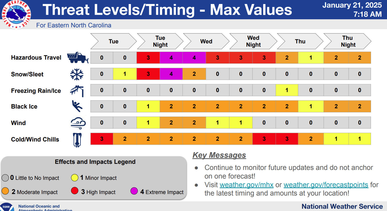
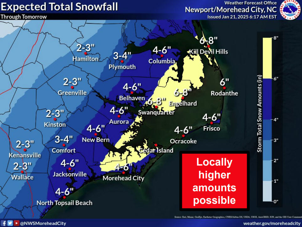
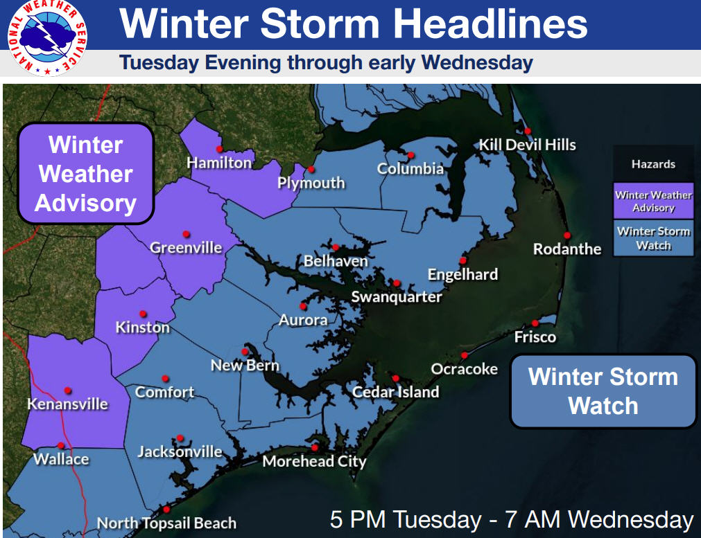
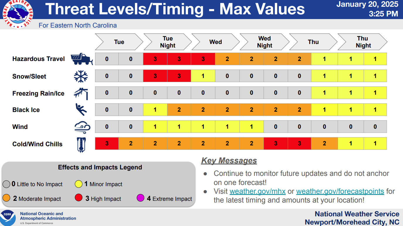
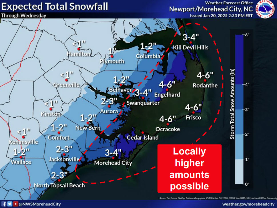
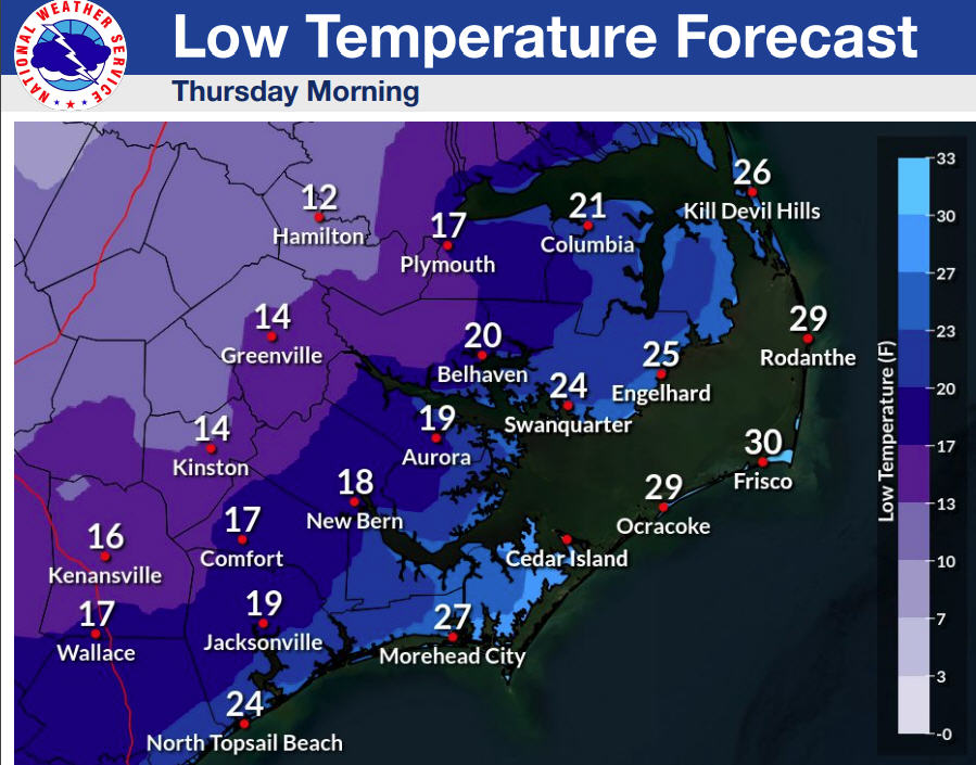
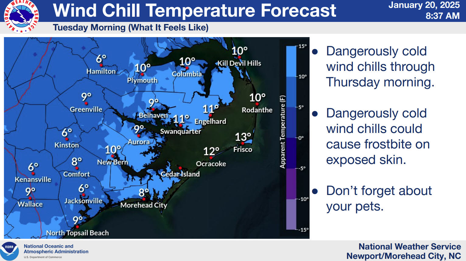
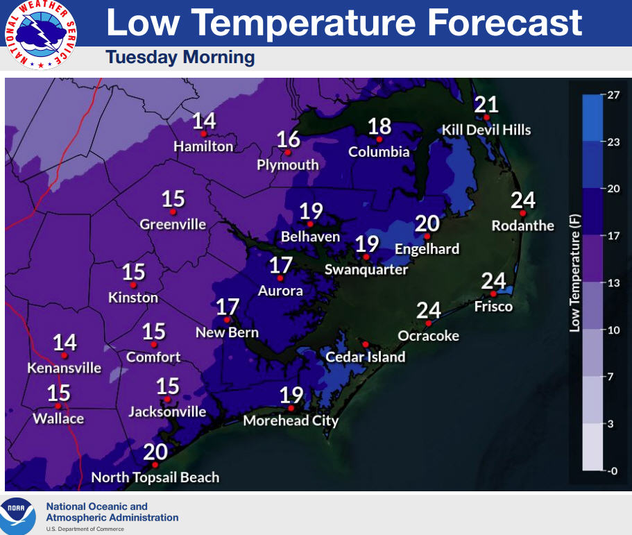
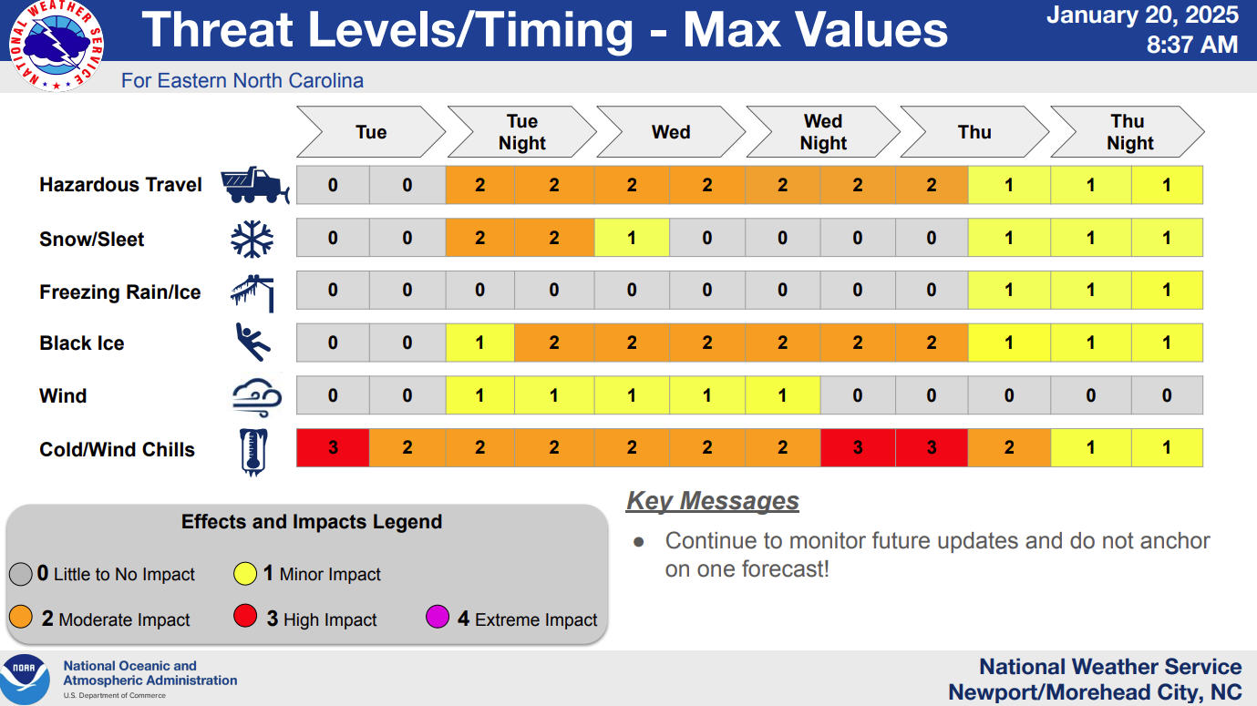
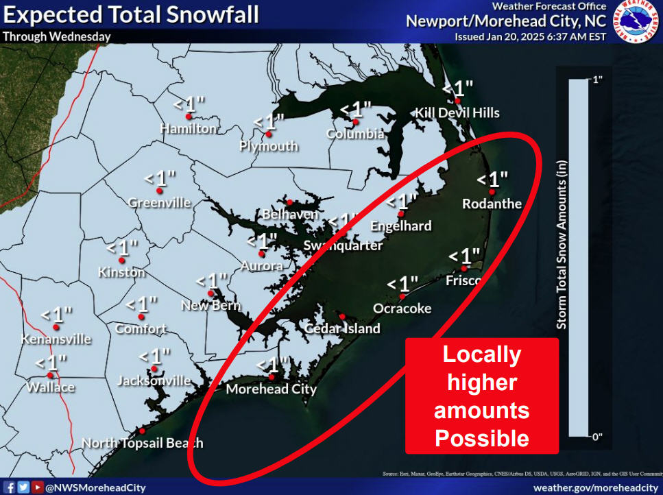
Inland, travelers may encounter light snowfall accumulation in mainland Dare and Hyde Counties. Areas of black ice possible are possible in inland Eastern North Carolina on Tuesday morning
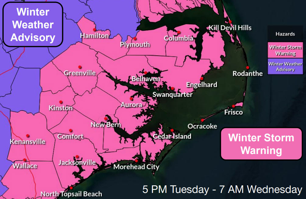
A Wind Advisory, Coastal Flood Advisory, and High Surf Advisory has been issued along the coast per the Monday morning briefing from the National Weather Service (NWS) Newport / Morehead City office, however forecasted winds and flooding amounts are all less severe than the first March storm.
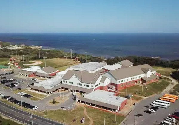
Due to the high wind advisories from the National Weather Service, all Dare County Schools will dismiss early on March 12 starting at 11:30 a.m. on a staggered release.
The storm is expected to move quickly through the area, and to be out to sea by Tuesday evening.
For more information, visit www.weather.gov/mhx for weather forecast information, or the National Weather Service office in Newport / Morehead City’s Facebook page, https://www.facebook.com/NWSMoreheadCity/.


