Routine scan of Bonner Bridge Monday will temporarily halt traffic
Routine scan of Bonner Bridge
Monday will temporarily halt traffic
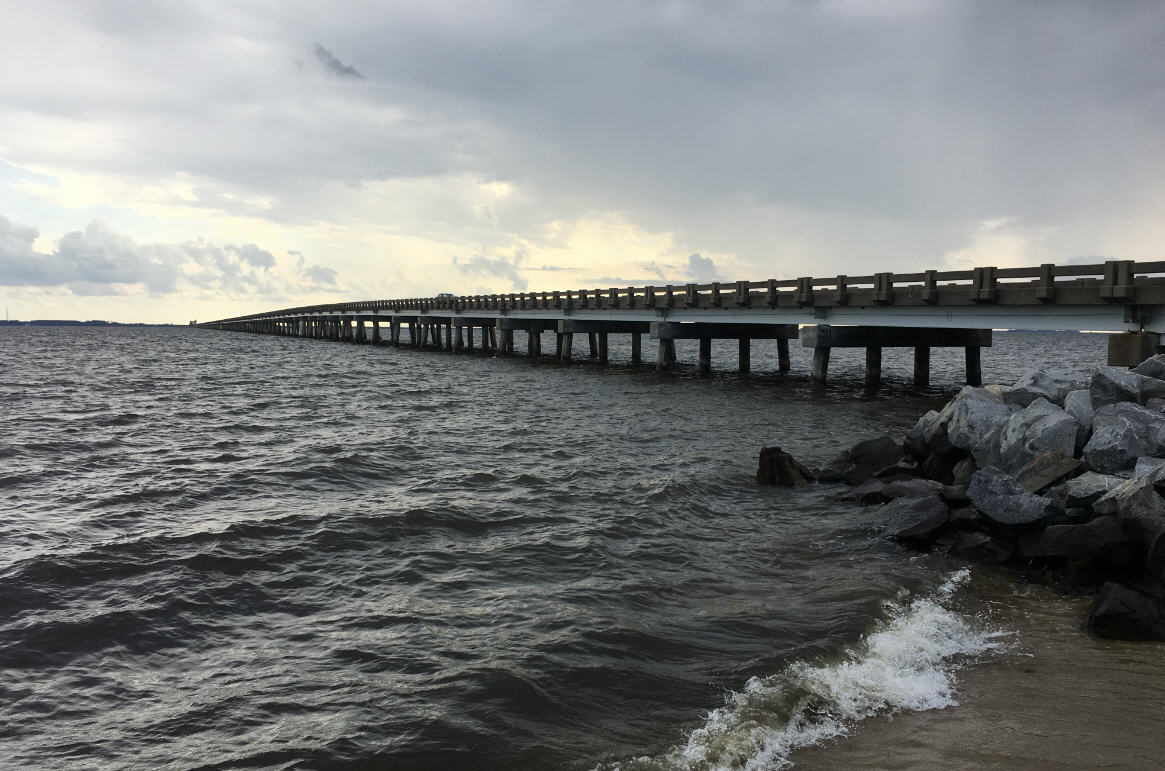
On Monday, June 2, at 9 a.m., crews will halt traffic on both ends of the Herbert C. Bonner Bridge over the Oregon Inlet on Highway 12 as the department performs a routine scan of the bridge’s deck. It is expected to take about 30 minutes to complete.
By conducting these scans every three months, the department can effectively monitor any movement of the bridge. NCDOT will use the data gathered to determine if there have been any changes, since the last scan done in March. This data will also serve as a baseline for future scans of the bridge’s deck. In addition to these quarterly scans, NCDOT also performs monthly underwater sonar scans, which enable engineers to check for signs of scour, where sand has drifted away from the pilings.
“I want to thank all of the NCDOT employees and local partners who have worked so hard to keep this vital lifeline open while we wait for the lawsuits currently blocking the replacement of the Bonner Bridge to be resolved,” said Transportation Secretary Tony Tata. “These routine scans help our engineers on the ground ensure that the bridge remains safe for travel.”
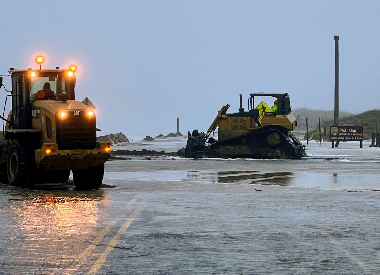
Just south of the Bonner Bridge, construction is under way on the permanent Highway 12 bridge on Pea Island. The 2.1-mile-long bridge will replace the temporary bridge currently standing where Hurricane Irene breached the highway in 2011 — an area where inlets have historically opened and closed. The new bridge will be built parallel to the temporary bridge and roadway.
Crews are currently building an on-site detour for motorists to use during construction. Drivers can expect lane closures in the work zone through mid-June during daytime hours Monday through Thursday, and until 3 p.m. on Fridays, with flaggers directing one lane of traffic through at a time. No closures are in place on weekends to avoid impacting tourist travel.
The speed limit through the work zone has also recently been lowered from 55 to 45 miles per hour. Signs are in place throughout the work zone, as well, to remind drivers that parking is not permitted on the shoulders in this location.
In addition to these projects, several other projects currently in the planning stages will help ensure access along Highway 12 for the Outer Banks community, including:
Rodanthe Beach Nourishment – The U.S. Army Corps of Engineers began accepting bids from contractors earlier this month. Bids are due June 19. Work is anticipated to begin later this summer.
Rodanthe Long-Term Bridge – NCDOT is considering two bridge alternatives as long-term solutions for maintaining access along Highway 12 to the communities of Hatteras Island. The project is in the planning phase, and a preferred alternative is expected to be selected this summer, with a contract awarded in the fall or early winter of 2014.
Buxton, Hatteras Village and Ocracoke Hot Spots – NCDOT is developing feasibility studies for potential projects to improve the Highway 12 corridor at areas identified as “hot spots” near Buxton and Hatteras village on Hatteras Island, and on the north end of Ocracoke Island. The feasibility studies are expected to be complete this fall. Some alternatives being studied include beach nourishment, road relocation, bridges, or a combination of those options.
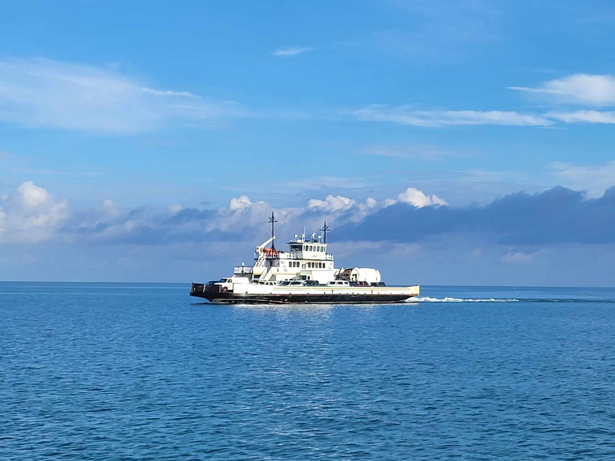
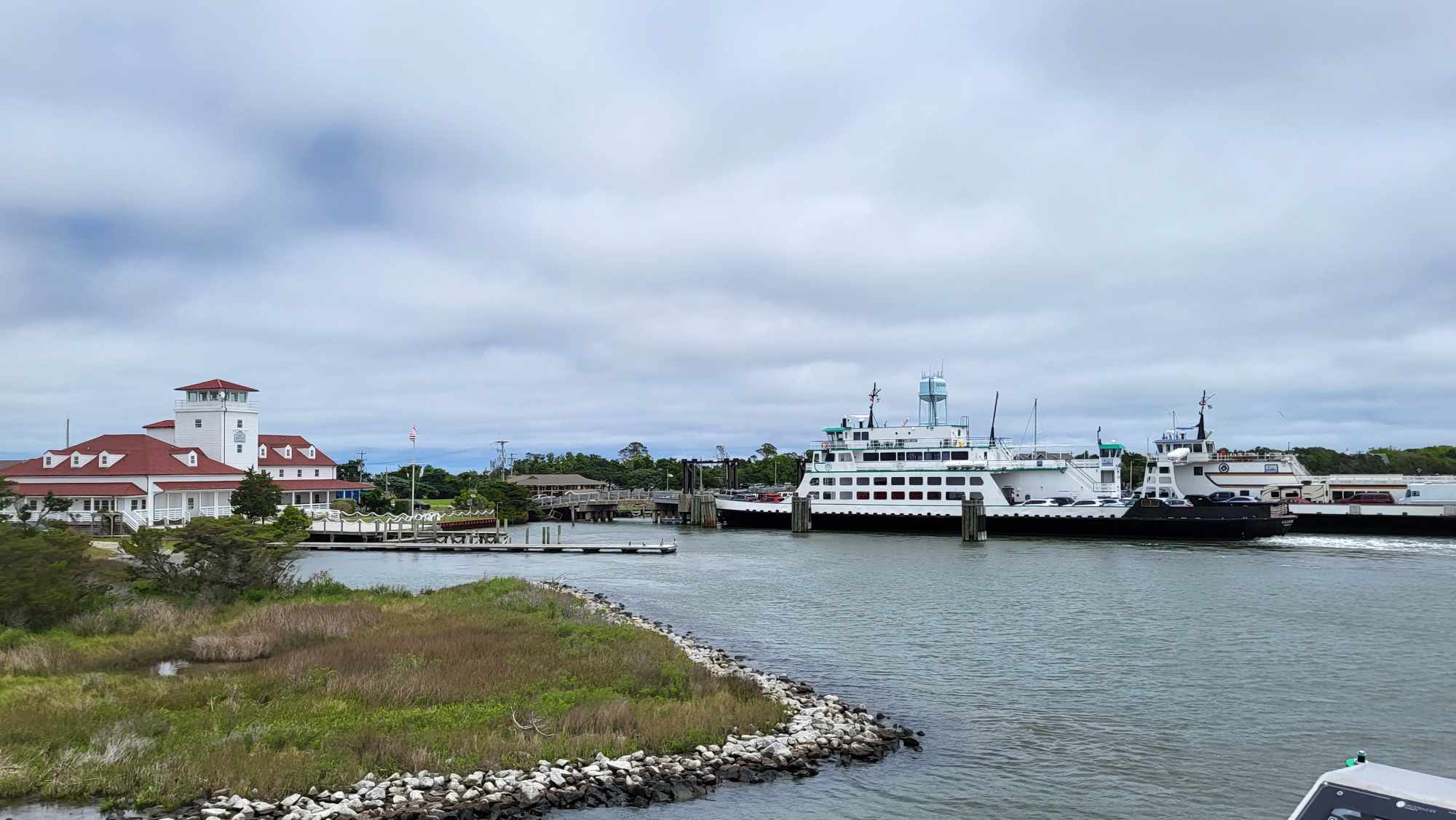
Ferries – The Hatteras Inlet Ferry, which connects Hatteras and Ocracoke islands, switched from hourly departures to departures every 30 minutes during peak hours. Ferry runs were also added to routes across the Pamlico Sound on May 20. The summer schedule includes six daily departures to and from Ocracoke and Cedar Island, and four round trips between Ocracoke and Swan Quarter. For more information, visit the Ferry Division website, “like” the Ferry Division Facebook page and follow the Ferry Division Twitter account.
“I want to thank Governor McCrory, Secretary Tata, the staff of the N.C. Department of Transportation and all of our partners for the efforts they have put forth to help us maintain vital access to the Outer Banks by way of the ferry system and along N.C. 12,” said NCDOT Board of Transportation Member Malcolm Fearing.
“As shown by Dr. Beach’s ranking of Cape Hatteras in the top 10 best U.S. beaches for the seventh consecutive year now, Hatteras Island is a very popular vacation destination, and is important to the economy of the Outer Banks and the state as a whole,” said Lee Nettles, executive director of the Outer Banks Visitor Bureau. “We appreciate the NCDOT’s partnership and hard work to make sure our visitors have an enjoyable experience.”
Highway 12 is the only north-south highway along North Carolina’s Outer Banks. This two-lane road is a vital connection for residents and visitors from the northernmost point in Corolla south to Cedar Island on the mainland. The Herbert C. Bonner Bridge carries the highway over the Oregon Inlet. But North Carolina’s Ferry System, which has played a significant role in the highway’s history, still provides the only link to Ocracoke Island. The unique culture and landscape of the communities along this route have also earned it recognition as a scenic byway on a state and national level.
For real-time travel information at any time, call 511, visit the NCDOT traffic website or follow NCDOT on Twitter. Another option is NCDOT Mobile, a phone-friendly version of the NCDOT website. To access it, type “m.ncdot.gov” into the browser of your smartphone. NCDOT Mobile is compatible with the iPhone, Android and some newer Blackberry phones.
For more information on NCDOT’s efforts to strengthen Highway 12 in the Outer Banks, visit the N.C. 12 webpage, “like” the N.C. 12 Facebook page and follow the N.C. 12 Twitter account.


