UPDATE: Arthur’s winds increase; now expected here as Category 2
Hurricane Arthur’s winds increased to 90 mph this morning and it is now forecast to pass perilously close to Cape Hatteras tonight as a Category 2 hurricane.
At 11 this morning, the storm was off the South Carolina coast — 260 miles southwest of Cape Hatteras. It was moving to the north/northeast at 10 mph.
Meteorological models that forecast the hurricane’s path are trending more to the west, which could bring the storm up the Pamlico Sound. This could increase the winds and storm surge over Hatteras and Ocracoke.
At noon, the National Weather Service in Newport, N.C., said that Arthur is expected to turn northeast and gradually accelerate through tonight as it approaches coastal North Carolina. The latest Hurricane Center forecast has Arthur along the North Carolina coast tonight and Friday morning as a Category 2 hurricane.
The Weather Service says that there is the potential for heavy rains of 2-5 inches, locally 7 inches along the southern coastal areas sections, damaging winds, isolated tornadoes, and significant coastal flooding.
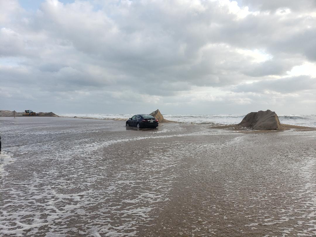
Moderate water level rises of 3 to 5 feet above ground level inundation can be expected for areas adjacent to the sounds and along oceanfront beaches. Significant ocean overwash is expected on the Outer Banks. Moderate to major beach erosion is expected along with very high surf and dangerous rip currents.
Dare County issued a mandatory evacuation order late yesterday for all residents of and visitors to Hatteras Island.
“The National Weather Service has upgraded the seriousness of the forecast for Hurricane Arthur projecting it as a Category 2 storm,” the county said this morning in a news release. “In view of this, Dare County Emergency Management urges all Hatteras Island residents and visitors who have not evacuated to reconsider their decision and immediately heed the evacuation order. This storm is a dangerous one with substantial risks that all residents and visitors should carefully consider.
“Those who do not evacuate should be prepared to sustain themselves for at least 72 hours,” the county said. “Be aware that emergency personnel may be unable to respond to calls for help during high winds. During and after the storm there is the risk of impassable roads due to soundside flooding and ocean overwash. And, access to essential goods and services may be disrupted. There are no Red Cross approved shelters in Dare County.”
Hurricane Arthur is expected to reach Hatteras Island with gale force winds by 8 tonight. Conditions will worsen and steadily increase to sustained winds of 100 mph by 1 a.m. Friday morning.
(This story will be updated late this afternoon.)


