Hatteras and Ocracoke dodge the bullet
Hatteras and Ocracoke escaped the severe damage that was predicted as Hurricane Arthur passed to the west of the islands as a 100 mile-per-hour Category 2 storm in the pre-dawn hours this morning.
The winds blew at about 90 knots, as advertised, and houses shook and creaked with the gusts. The highest winds lasted a couple hours from about 1 a.m. until 3 a.m. or so.
However, on southern Hatteras and Ocracoke, the soundside storm surge was much lower in most places than the 3 to 5 feet that was forecast.
The southeast wind blew the water of the sound behind the barrier islands during the evening. It piled up on the west side of the sound on the mainland. Just before dawn, the wind shifted to the north and northwest and blew the water back toward the islands, but it came back in much more slowly than had been expected.
None of the surge heights has been confirmed, but Buxton, Frisco, Hatteras village, and Ocracoke got little or no sound flooding. Avon had a foot or two in places. And the tri-villages had more than that with unofficial reports of up to 6 feet in places.
Ocean overwash was not as significant as expected, nor was the beach erosion as severe — at least not from early reports.
David Glenn, meteorologist at the National Weather Service in Newport, N.C., said today that forecasters are attributing the lesser storm surge to the wobbling of the center of the hurricane more to the west as it moved up the Pamlico Sound. At times, it was actually over the mainland. And a big contributor was the speed at which the storm moved up the sound and off the Outer Banks.
Arthur made landfall near Cape Lookout at about 11:15 last night. Its speed increased as it continued northeast up the sound. The Weather Service says the storm eventually moved off the barrier islands at about Oregon Inlet and continued northeast up the coast, mostly offshore.
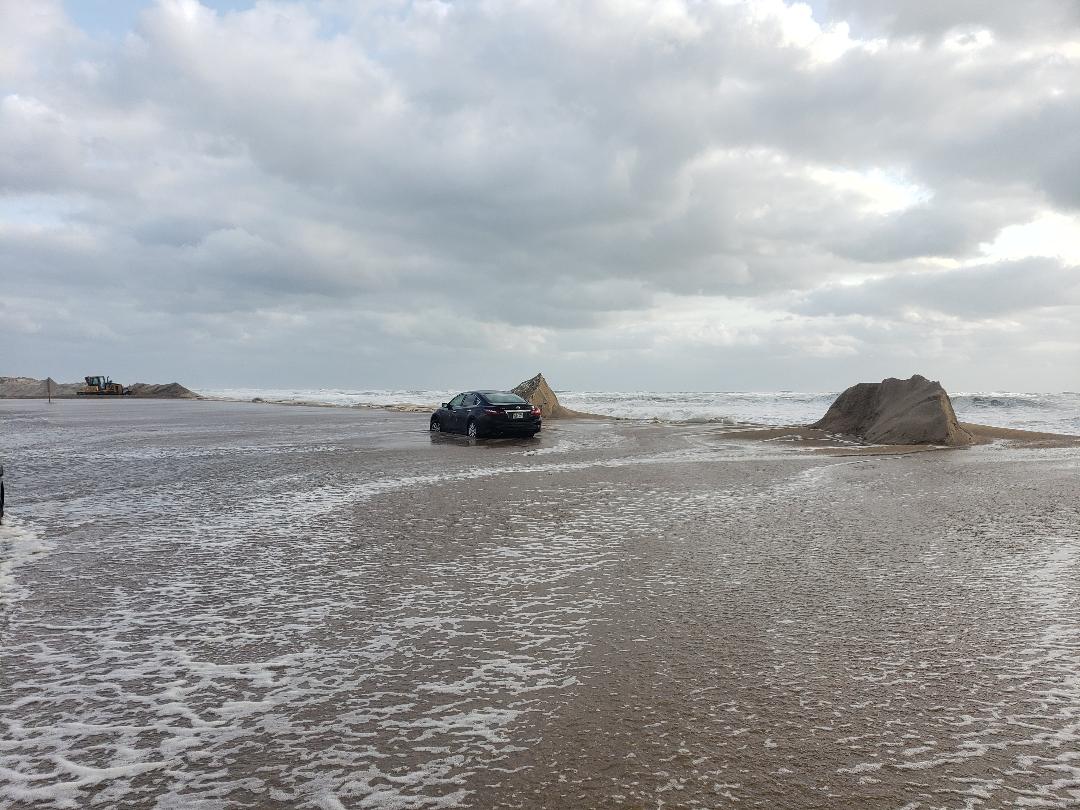
Early reports about Highway 12 indicate that there is sand and water over the road in places, especially in north Rodanthe and Pea Island.
The road is damaged at the small bridge over Pea Island Inlet. And it is possible that the asphalt is compromised in a few other places on Pea Island.
The Department of Transportation is working on Hatteras Island this afternoon to assess the damage and plans to make repairs as quickly as possible.
The Dare County Control Group said today in a news release that it is maintaining close contact with NCDOT officials on the efforts to restore access to Hatteras Island.
“As soon as a determination is made that Highway 12 is safe for passage, officials will assess whether access can safely be provided to all Hatteras Island villages, and that the necessary infrastructure is in place to provide essential goods and services. At that time a re-entry advisory will be announced. Until then, access to and from Hatteras Island on Highway 12 will remain closed. This includes the villages of Rodanthe, Waves, Salvo, Avon, Buxton, Frisco, and Hatteras.
The forecast is for cooler weather over the rest of the holiday weekend with gradually subsiding winds and seas.
However, officials warn that the rip current threat will be very high for the next several days and that swimmers should exercise extreme caution. The ocean is still very rough with a threat of strong shorebreak that can slam swimmers onto the beach.
If you are caught in a rip current, do not try to swim against it. Swim parallel to shore and head back to the beach when you are out of the force of the rip — they are usually not very wide.
More details:
HATTERAS ISLAND
Much of the damage of Hatteras involved downed or uprooted trees and tree limbs and other debris on the ground, roads, and driveways.
There was also scattered damage to roofs.
Sound flooding was minimal on the southern end of the island with more significant storm surge in Avon and, especially, in Rodanthe.
In north Rodanthe, campers were blown around. In one campground, a camper is still missing.
At the height of the hurricane, 2,200 Hatteras Island customers of Cape Hatteras Electric Cooperative were without power. By early this afternoon, all major circuits were back online and only scattered outages remained.
National Park Service facilities at the Cape Hatteras National Seashore are still closed, including beaches, which are closed to vehicles but open to pedestrians. There has been no word from the Park Service today about when beaches, the lighthouses, and other facilities will reopen.
The July 4 fireworks on the Avon Pier have been rescheduled to 9 p.m. on Monday, July 7. The Fourth in the Village celebration, planned for today in Hatteras village, has been cancelled.
OCRACOKE ISLAND
Ocracoke on this Independence Day is out of power but is cleaning up after Hurricane Arthur passed close to the island in the early morning hours.
The island was spared soundside flooding, but an estimated 30 power poles are down throughout the village and along Highway 12. The north end of Highway 12 is covered by 1 to 2 feet of sand and ocean overwash.
A lot of trees are damaged or downed. There’s plenty of tree debris all over the village and some damage to buildings.
At the Deputy Control Group of about 12 officials and business owners meeting this morning, Justin Gibbs, Hyde County emergency services director, said Tideland Electric was bringing over three crews as soon as the Pamlico Sound ferry channels were deemed safe, which they hoped would be around 1 p.m.
All 1,300 customers on Ocracoke are without power. It is hoped that the generator on Ocracoke will be powered up sometime today. If so, it will be on one-third power, which means that the island will be divided into three sections and power will be rolled around with two hours on and four hours off.
That won’t much help the local restaurants and businesses that don’t have their own generators.
Tideland does not expect full power to be restored before Sunday.
The evacuation on Ocracoke was voluntary, and officials have estimated there were still 9,000 visitors on the island.
Since there still are many visitors, the group decided that a curfew will be in effect nightly from 10 p.m. to 6 a.m. until full power is restored.
On Thursday the control group authorized Gibbs to request emergency help from the state in the form of pallets of bottled water and meals-ready-to-eat, as well as a Salvation Army canteen. However, today the group decided that the situation here was not dire enough for those provisions.
It also released a medical team that was on standby Thursday.
Even though the state-of-emergency is still in effect, the group agreed to allow alcohol sales.
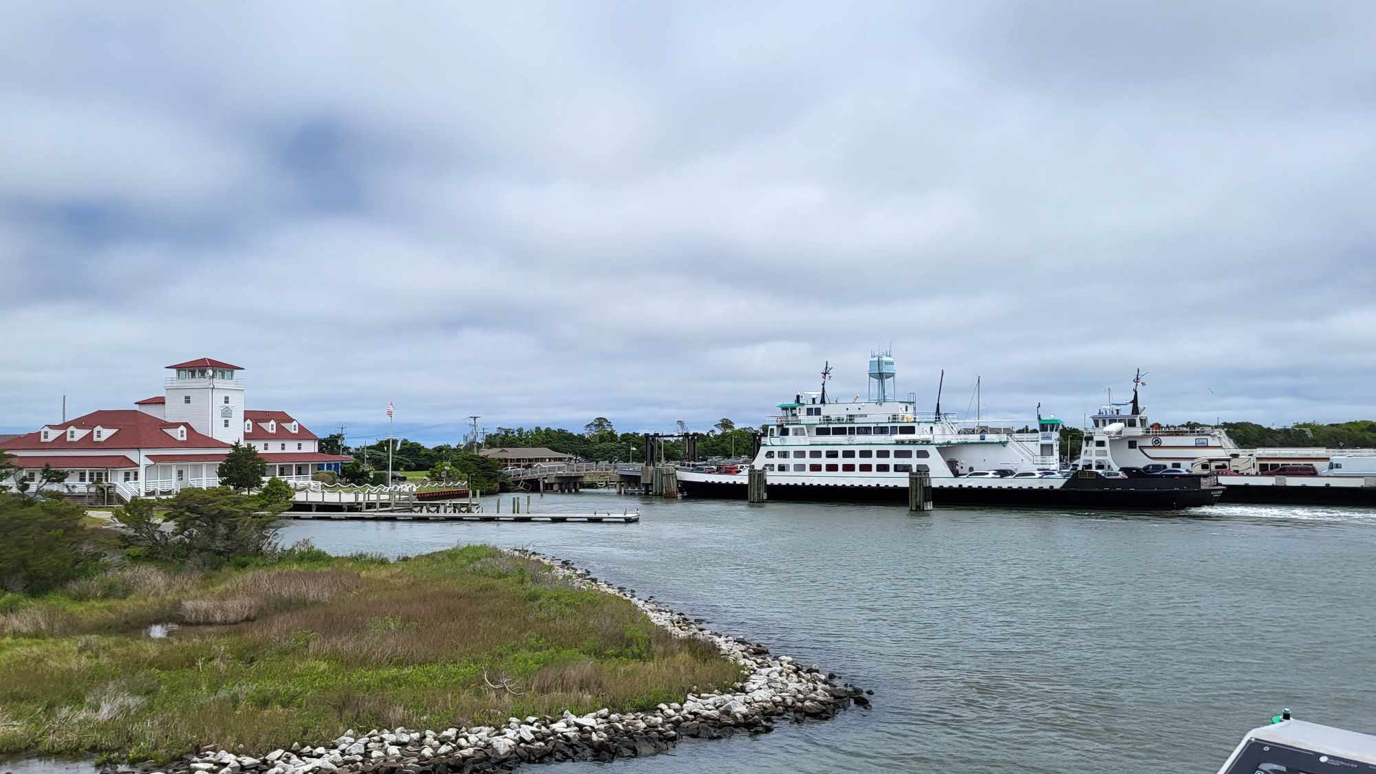
As for ferry service, Jed Dixon, a deputy Ferry Division director, said in a phone conference with the group that access to the Hatteras-Ocracoke ferry from Hatteras side will be restricted to infrastructure needs and emergency services.
Residents will be allowed to use the ferry on Saturday. If they do not have their new re-entry permits, last-year’s placard or a driver’s license showing Ocracoke residency will suffice, Dixon said.
In the meantime, the Ferry Division has waived the fees for anyone wishing to leave on ferries to Swan Quarter and Cedar Island.
Ed Fuller, supervisor of the Ocracoke District of the Cape Hatteras National Seashore, said the beach and other park facilities are closed until further notice.
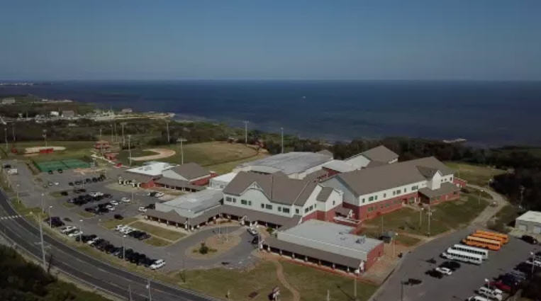
While a full slate of July 4 activities, including the Old Time Parade, have now been cancelled, the traditional flag-raising ceremony with Ocracoke Boy Scout Troop #290 will take place tomorrow (Saturday) morning at 9 a.m. at the flag circle at the Ocracoke School along School Road.
ROADS AND FERRIES
The North Carolina Department of Transportation’s Ferry Division resumed service to Ocracoke from Swan Quarter and Cedar Island this afternoon (July 4). However, Hyde County Emergency Management officials have placed the following restrictions on reentry to Ocracoke Island:
Friday, July 4: Critical infrastructure needs only. No returning residents, no visitors.
Saturday, July 5: Critical infrastructure needs and retuning residents only. No visitors.
Sunday, July 6: Critical infrastructure needs and returning residents. Visitors may be allowed in depending on status of recovery.
Residents and visitors will be allowed to depart Ocracoke for Cedar Island or Swan Quarter at any time. Tolls will be waived for motorists leaving Ocracoke as long as the voluntary evacuation order remains in place.
All current reservations on these days will be canceled. Ferries will operate on a first-come, first-served basis.
The Ferry Division operated on a reduced schedule today and will resume its regular Pamlico Sound schedule tomorrow, July 5.
Meanwhile, North Carolina Department of Transportation crews are working to clear off roads in some areas, while assessments of damage are continuing in others.
While many areas of the coast escaped the brunt of the storm, parts of Highway 12 from south of the Bonner Bridge to Ocracoke Island along the Outer Banks are impassable because of sand, water and downed power lines on the roadway. That section of the highway is currently closed to traffic. Some areas continue to be affected by soundside flooding, which will take some time to recede.
“We urge people to stay off the road as much as possible in the impacted areas and allow our crews to complete the work necessary to reopen the road and get residents and visitors back to Hatteras Island as quickly as possible,” said Transportation Secretary Tony Tata.
Crews are now assessing the area to determine the extent of the damage and begin repairs. Repair work could begin on a section of pavement on Highway 12 that buckled near the temporary bridge on Pea Island as early as this afternoon.
Additionally, crews will inspect the Bonner Bridge, the only land link to Hatteras Island, as soon as conditions are stable enough to safely conduct underwater sonar scans on the integrity of the bridge.
The bridge is not expected to reopen today.
NCDOT provides real-time information about weather and travel conditions through its Twitter feeds and Facebook pages, including the NCDOT Facebook page, N.C. 12 Facebook page and NCDOT Ferry Facebook page. Additional information about the storm is available on the department’s other social media and web-based tools, which are easily accessible on the NCDOT website.
Click here to see slide show 1
Click here to see slide show 2


