UPDATE: Tropical Storm Chris Will Start to Move Away Tuesday, but Strong Surf Remains
Chris remained a strong tropical storm on Tuesday morning, and is forecast to strengthen into a hurricane later in the day. However, the storm will also begin to slowly move northeast today, followed by a more substantial acceleration on Wednesday.
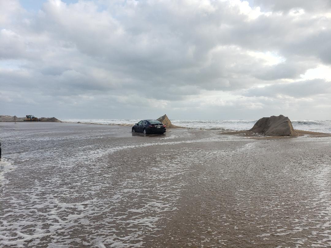
Due to the persistent wind and swell from the storm, rough surf and dangerous rip currents will continue along the beaches again today and through most of this week.
Persistent north-northeast winds at 15-25 mph with higher gusts along the coast today are forecast, as well as rough surf and a dangerous rip current threat which will continue for the next few days.
Chicamacomico Banks Water Rescue also issued an alert for visitors south of the Rodanthe Pier, as decking from a home near Ocean Drive in Rodanthe is falling into the ocean and adding to the beach hazards. The Chicamacomico Banks Water Rescue advises visitors in the area to be on the lookout for floating debris in the pounding shore break.
Road conditions on N.C. Highway 12 remained unaffected by Tropical Storm Chris as of Tuesday morning.
As of 5 a.m. on Tuesday, Chris was located about 200 miles south-southeast of Cape Hatteras, with maximum sustained winds of 70 mph. Chris was moving northeast at 2 mph, however, it is expected that Chris will speed up towards the northeast as the day progresses.
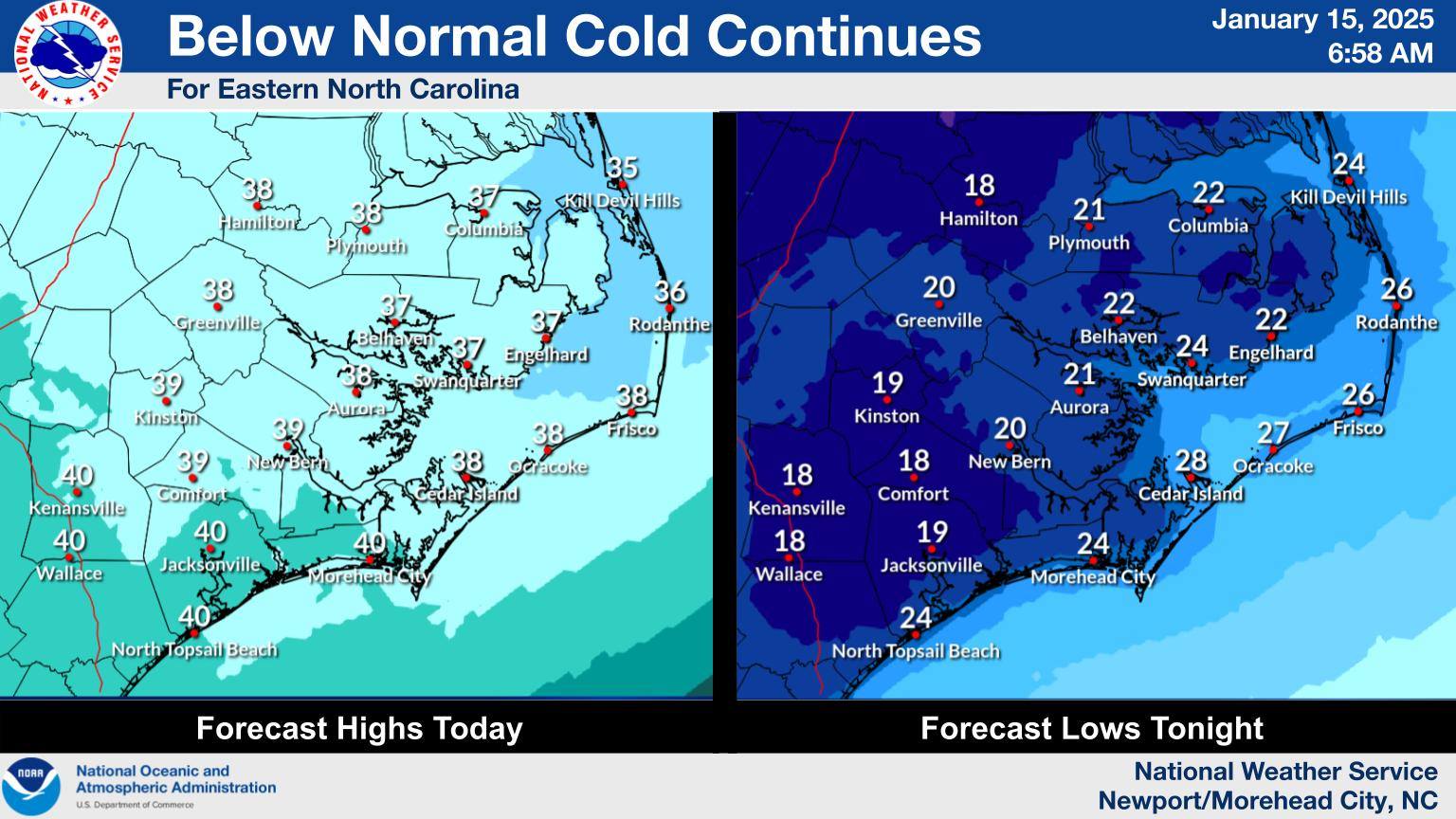
For more info, visit www.weather.gov/mhx for weather forecast information, or the National Weather Service office in Newport / Morehead City’s Facebook page, https://www.facebook.com/NWSMoreheadCity/.
RELATED ARTICLES:


