Bertha forecast to pass well offshore of Outer Banks
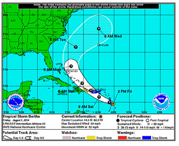
Tropical Storm Bertha became the second named system of the 2014 Atlantic Hurricane Season this morning.
The storm is expected to pass well offshore of the Outer Banks sometime late Tuesday or early Wednesday.
Meanwhile, a stalled frontal boundary and abundant tropical moisture from the Atlantic Ocean are bringing heavy rains to the Outer Banks. A flood watch is in effect for the area until Sunday evening with 3 to 5 inches of rainfall expected, with locally higher amounts.
As of the 5 p.m. advisory from the National Hurricane Center, Bertha had winds of 50 miles per hour and was located just north of Martinique in the Lesser Antilles, moving west-northwest at 24 mph.
The storm is expected to approach the Virgin Islands, Puerto Rico, and the Bahamas over the weekend.
At that point, forecasters say, the storm will curve more to the north and then northeast and move between Cape Hatteras and Bermuda, as many as 300 miles offshore, with winds of about 60 mph.
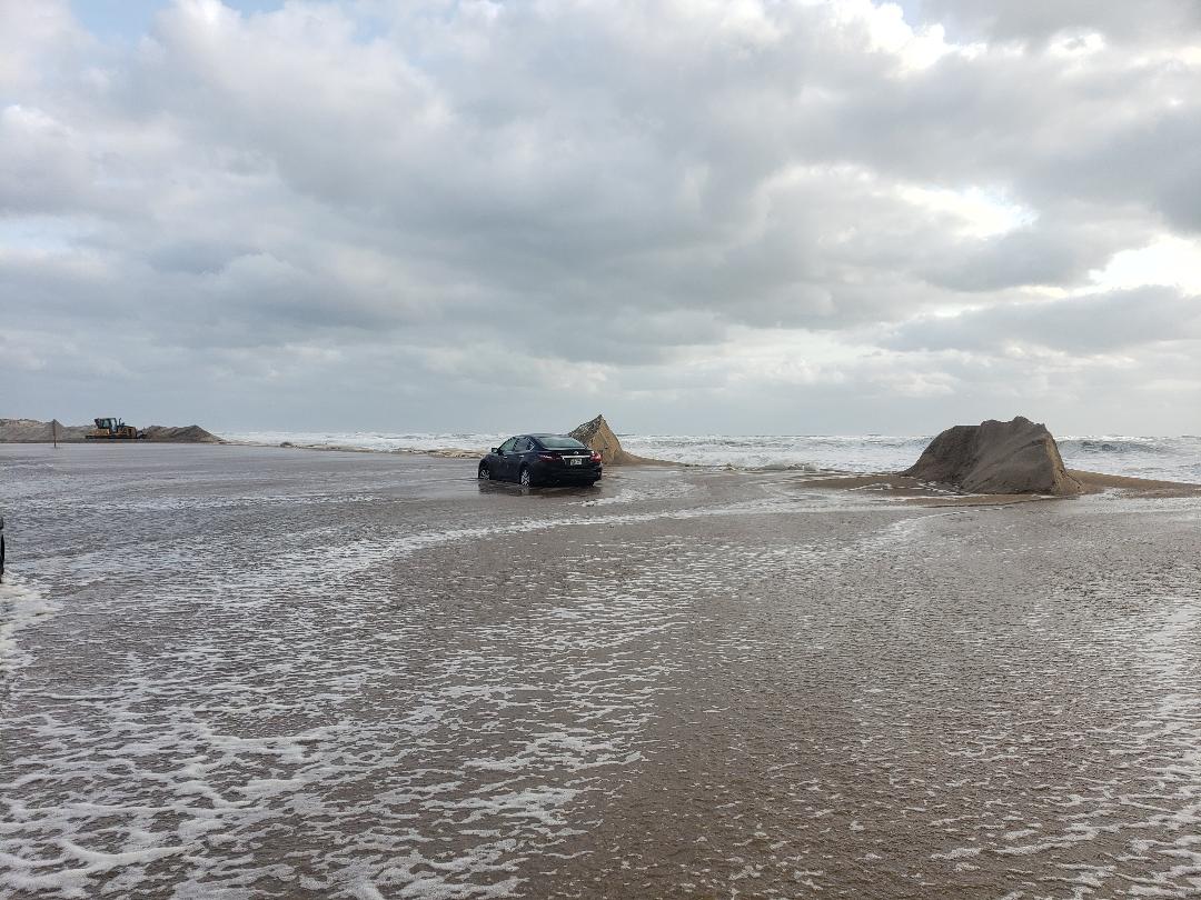
Currently, the only effects on the Outer Banks are expected to be increased surf — seas are now forecast at 4 to 6 feet — and a higher threat of rip currents along the beaches.
Though we won’t start feeling the effects from Bertha until early in the week, the weekend will remain soggy.
Rainfall from the stalled frontal boundary will probably be around into Monday, with a high chance for showers and thunderstorms all weekend.


