Confidence Increasing that Florence will Impact the Southeast Coast By JOY CRIST
Though it is still too early to pin down a potential location for landfall, confidence is increasing that Florence will have significant impacts for portions of the Southeast coast, per the Saturday morning update from the National Weather Service Newport / Morehead City office.
As of Saturday morning, Florence remains a tropical storm, but is expected to intensify to a major hurricane by Monday night. Depending on the storm’s eventual track, tropical storm force winds could arrive as early as Wednesday, and the probability for tropical force winds for southeastern North Carolina continues to increase, unless significant changes are made to the forecast track in the next several days.
A high threat of dangerous rip currents is in effect for Ocracoke and Hatteras islands today, and large and dangerous surf is expected throughout the Outer Banks beginning this weekend.
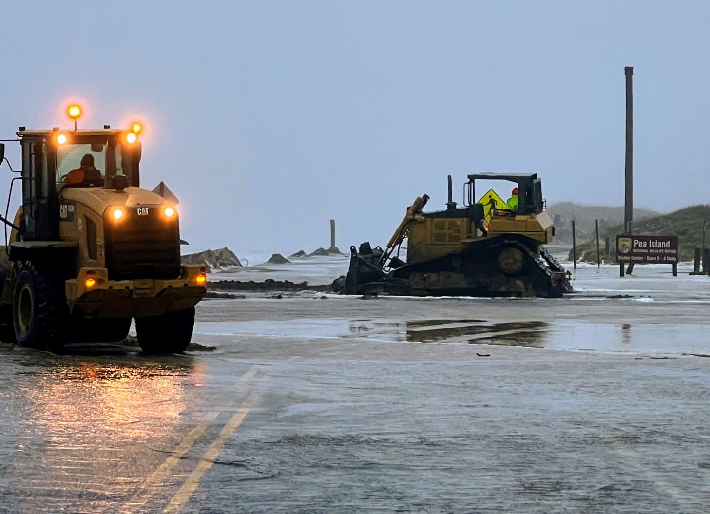
Coastal erosion and ocean overwash are also possible as early as late Sunday along the Outer Banks.
Dare County Emergency Management advises visitors and residents to ensure that their emergency kit is properly stocked, and that their emergency plan, including possible evacuation, is ready to implement should protective actions become necessary. For preparedness tips and information, visit www.readync.org.
For more info on Florence, visit www.weather.gov/mhx for weather forecast information, or the National Weather Service office in Newport / Morehead City’s Facebook page, https://www.facebook.com/NWSMoreheadCity/.


