Large Waves and Rough Seas Expected to Accompany Jose
Per the 5:00 p.m. update from the National Hurricane Center, the center of Jose is forecast to pass well east of the North Carolina coast on Monday, and tropical-storm-force winds are currently expected to remain offshore of the Outer Banks.
However, an additional increase in the size of the storm or a westward adjustment in the track forecast could bring tropical storm conditions closer to the Outer Banks, and residents and visitors should monitor the progress of Jose through Monday.
For now, sea conditions will remain dangerous for the foreseeable future. The main impact of Jose is expected to be be very rough surf and dangerous rip currents that will continue through at least Tuesday.
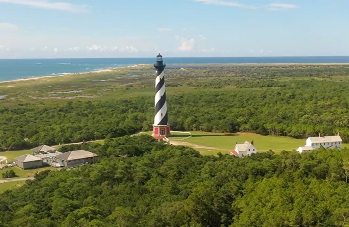
The very large waves combined with gusty north winds could lead to beach erosion and possible ocean over wash later Monday thru early Tuesday, with areas north of Cape Hatteras being the most susceptible.
The wind field associated with Jose is forecast to expand as it lifts north, and because of this, a Tropical Storm Watch has been issued for coastal waters from Ocracoke north. The strongest winds are expected to develop Monday and continue through Monday night.
In addition to Jose, Marie and Lee are now named storms. Both currently pose no threat to the U.S. mainland, but are indicative of the very active hurricane season that the country is experiencing.
Visit www.weather.gov/mhx for weather forecast information covering Eastern NC, and visit the National Hurricane Center at www.nhc.noaa.gov for information on the tropics.
The Island Free Press will continue to monitor this system and will post updates as soon as they are available.


