Hatteras Island Gets Back to Normal after Storm Subsides
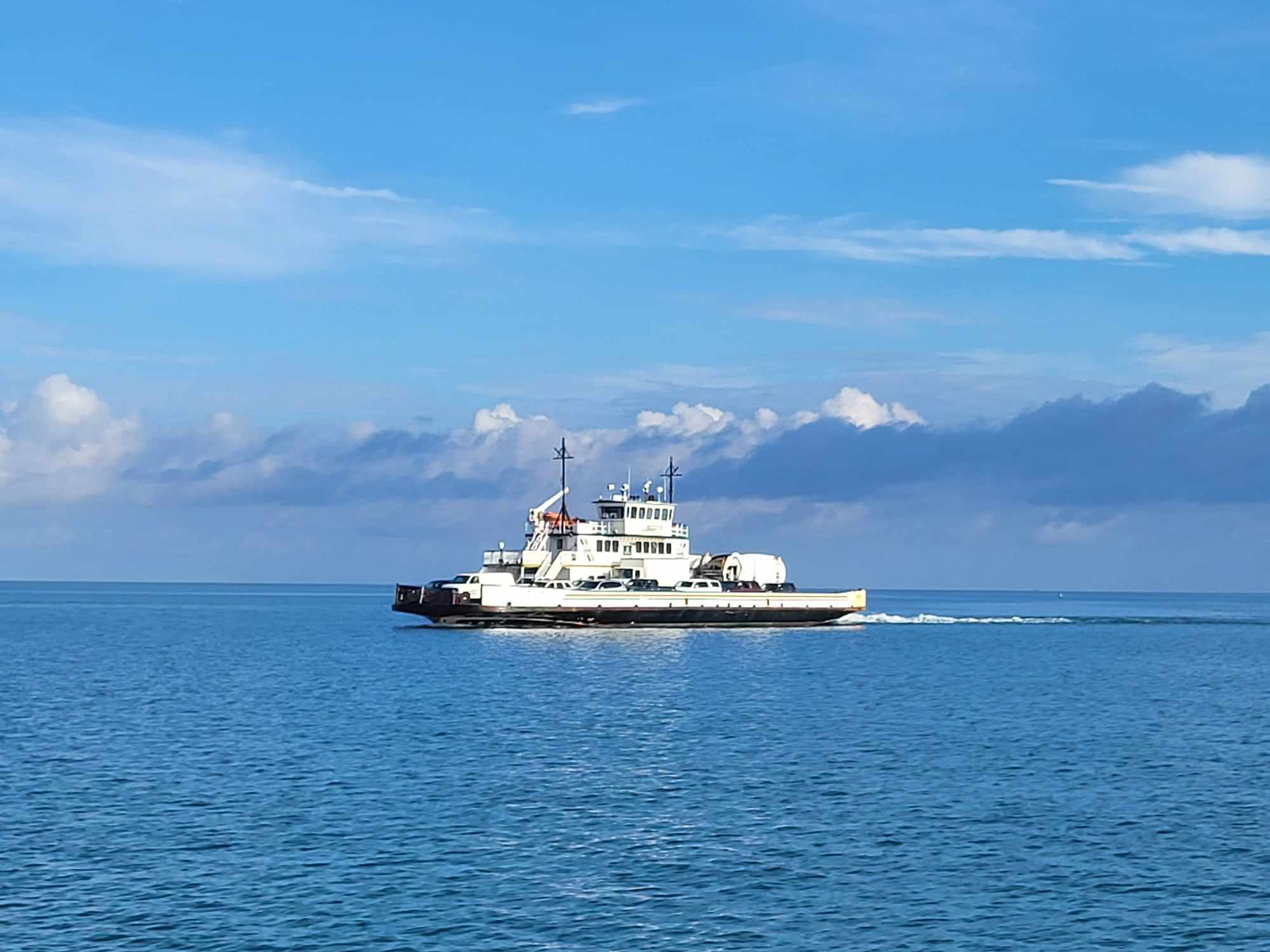
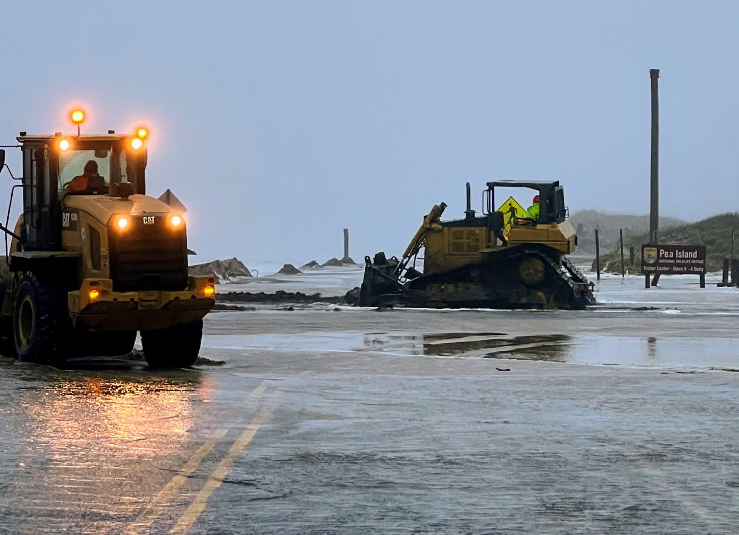
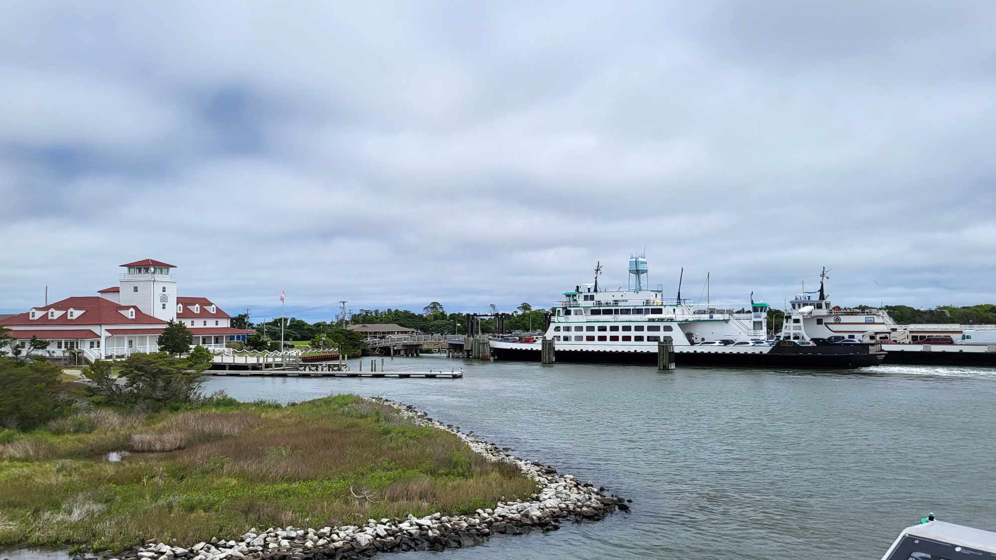
As of Monday morning, Ocracoke Island was still under restricted access, and the Hatteras / Ocracoke ferry terminal remained closed due to damage to N.C. Highway 12. On Hatteras, however, just patches of sand remained on the highway, after long clean-up efforts by the North Carolina Department of Transportation (NCDOT) to return the road to its pre-storm shape.
Hurricane Florence made landfall in Wrightsville Beach in the early morning hours of Friday, September 14, but the storm caused the most impacts on Hatteras and Ocracoke islands on Thursday. With larger than normal high tides, ocean overwash became a problem, and every village on the southern Outer Banks was inundated with water on Thursday, causing damage to hot spots like Ocean View Drive in Avon, northern Rodanthe, the S-Curves, and northern Hatteras village.
A mandatory evacuation was in effect for Hatteras and Ocracoke Islands starting on Monday, September 10, and the Food Lion in Avon closed suddenly at 11 a.m. on Monday prior to the storm. Even so, a number of other local businesses remained open as long as they could to cater to the folks who chose to stay behind.
Both residents who evacuated and who stayed on the island watched the track of Florence intensely in the coming days, hoping that the storm would weaken and stay on its southern path. Though the Pamlico Sound was drained throughout the island with the winds, the rushing return of the sound waters never came to fruition, and soundside flooding was never an issue in the days to follow.
As of Sunday at 7 a.m., southern Hatteras Island had received roughly 4.5 inches of rain, while Ocracoke Island recorded approximately 5.3 inches of rain. Wind gusts in the 65-75 mph range were reported in the villages of Avon, Buxton and Frisco during the storm, and at one point, the Diamond Shoals buoy off of Cape Hatteras recorded wave heights up to 30 feet.
Inland, historic river flooding occurred throughout eastern North Carolina, with record-breaking flooding that surpassed 1999’s Hurricane Floyd levels occurring in areas close to the Trent River, New River, Neuse River and Tar River. Many river gauges in these regions were deemed unreliable, as they were overtopped, flatlined, or otherwise malfunctioning due to the record-high waters.
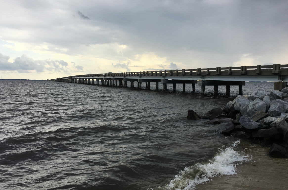
After Florence slowly headed west, and inspections of Highway 12 and the Bonner Bridge were conducted by NCDOT, Dare County Emergency Management reopened the island to residents starting on Saturday afternoon, September 15, and reopened the island to visitors beginning on Sunday. A steady line of traffic poured into the island, as property owners inspected their homes for damage, and locals returned to work.
On Monday morning, a full week after the initial evacuation orders were issued, the island was steadily returning to normal, with minimal debris and sand left behind after Florence’s departure. Residents were grateful for the minimal impacts, but understandably concerned for their inland neighbors to the west, and fundraising efforts by local businesses to assist the folks who received much more damage than the Outer Banks were already underway.


