Second round of heavy rain has Hatteras, Ocracoke under water
A second round of torrential rain in five days has Hatteras and Ocracoke islands under water — up to a foot or more in places on roadways, prompting the National Weather Service to issue a flood watch for the area until 8 p.m. this evening.
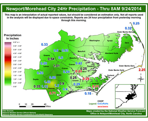
The heaviest rainfall was overnight and into this morning when 2.25 inches was measured at Billy Mitchell airport in Frisco.
This comes on top of a day and night of downpours on Saturday that turned roadways into ponds of standing water up to 18 inches to 2 feet north of Hatteras village. In the village, 5.25 inches of rain fell in the 24 hours ending at 7 a.m. on Sunday.
Northeast winds gusted up to 40 mph overnight, according to Lara Pagano, meteorologist at the Weather Service in Newport, N.C.
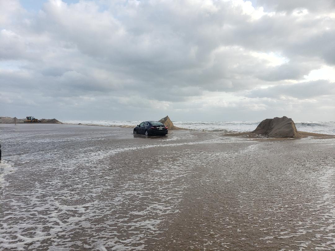
The winds and high seas brought some ocean overwash to the south end of the temporary bridge at Pea Island Inlet at high tide early this morning.
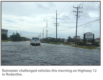
This afternoon, no roads were closed, but residents and the N.C. Department of Transportation’s Highway 12 Facebook page were reporting very deep ponded water through the tri-villages of Rodanthe, Waves, and Salvo, where some vehicles were stalling out.
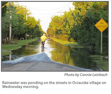
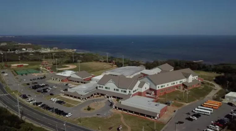
Standing water on roads, deep in places, was also reported on Highway 12 between Salvo and Avon, in areas of south Avon, in Frisco, and in Hatteras village — where the water was about a foot deep in front of the Hatteras Civic Center — and on Ocracoke.
“Please use caution if you need to drive through the area,” DOT said on its Facebook page. “Passing through the area in vehicles that are low to the ground is discouraged. The water should recede on its own later today.”
The water might not recede much and could rise again with another round of rain that is headed for the Outer Banks for later this afternoon and this evening, according to the Weather Service.
The low pressure off the South Carolina coast will lift north tonight as a stalled trough remains offshore.
Sometimes, a slot of dry air works its way in ahead of the low pressure, Pagano said. However, she said, it does not look like that will happen on the Outer Banks. As of this afternoon, forecasters are predicting light to moderate rain — with some pockets of heavier rain — overnight.
The flood watch could be extended later this evening when forecasters take another look at predicted rainfall amounts for tonight.
Rain chances remain at 90 percent tonight and 60 percent tomorrow. Pagano said the Weather Service forecast is for drying out on Friday.
Winds were lighter from the southeast this afternoon. However, wave heights were still 10 feet east of Oregon Inlet and 6 feet at Diamond Shoals buoy. There was no ocean overwash south of the temporary bridge on Pea Island at the low tide.
Overwash in the area has been a problem for two weeks and has motorists who must travel Highway 12 concerned about winter northeasters. Last week, it was caused by swells from distant Hurricane Eduoard and the week before by a high astronomic tide at the full moon.
On Saturday, NCDOT Secretary Tony Tata toured the area and said that the department was seeking a short-term solution to the overwash problem.
“We are aware of the problem and are evaluating options,” Jerry Jennings, Division I engineer, said in an e-mail. “The most likely short-term solution will involve construction of a berm through that area.
“We are currently coordinating with the USFWS and other regulatory agencies,” he added. “This work will also have to be coordinated with the planned construction activities. We would plan to implement this work as soon as possible.”
DOT also has its webcam on the south end of the temporary bridge back online at http://www.ncdot.gov/traffictravel/.
The heavy seas are also causing risks for swimmers. The Weather Service issued a beach hazard statement for today for a high threat of rip currents and a heavy long-shore current south of Cape Hatteras.
For more information, go to the Weather Service website at http://www.weather.gov/mhx/ or see the NWS Facebook page at https://www.facebook.com/NWSMoreheadCity. Also check road conditions on the DOT N.C. 12 Facebook page at https://www.facebook.com/NCDOT?fref=ts.


