Michael Quickly Moving Northeast Through Eastern N.C., Virginia
Michael is rapidly moving northeast towards eastern North Carolina / Virginia, and is expected to head out into the Atlantic Ocean overnight, per the Thursday evening briefing from the National Weather Service (NWS) Newport / Morehead City.
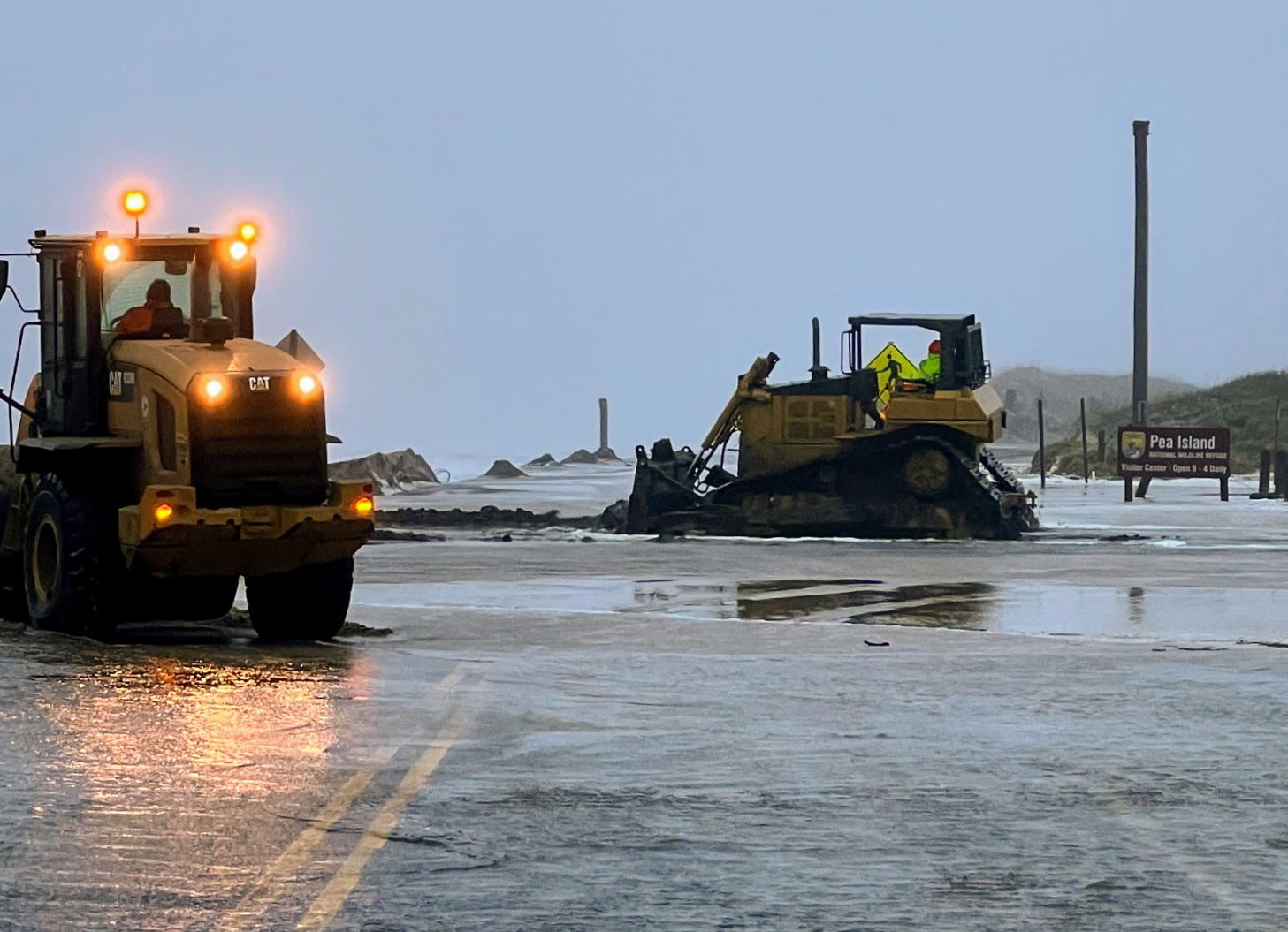
As of Thursday evening at 5:30 p.m., there were no reports of flooding on N.C. Highway 12 on Hatteras and Ocracoke islands, however an increase in winds has caused sand to accumulate in patches along the highway. The NCDOT reported on October 9 that they have staged some equipment in Hatteras to be ready in case any issues develop at the traditional trouble spots on N.C. Highway 12.
2 to 4 feet above ground storm surge continues to be forecast for the Outer Banks, with the most significant impacts expected on the soundside from Avon/Rodanthe to Nags Head.
Stronger winds are also possible for northern Hatteras Island on the backside of Michael, as the storm moves into the ocean overnight. Maximum sustained winds of 40-45 mph are forecast for Hatteras and Ocracoke Islands, with maximum wind gusts in the 53-58 mph range. Rainfall totals will be minimum, with a maximum of 1.5 inches of rain is forecast for northern Hatteras Island.
As of 5 p.m. on Thursday, Michael was located in central North Carolina and was moving toward the northeast near 24 mph. Current maximum sustained winds are near 50 mph.
This northeast motion is expected to continue with an increase in forward speed through tonight. The center of Michael will move across eastern North Carolina and southeastern Virginia this evening, and will move into the Atlantic Ocean by Friday morning.
Dare and Hyde Counties remain under a tropical storm warning. A storm surge watch is also in effect from Ocracoke Inlet to Duck, N.C. A high rip current risk remains in effect for the Outer Banks, and will likely be in place for the rest of the week.
For more information, visit www.weather.gov/mhx for weather forecast info, or the National Weather Service office in Newport / Morehead City’s Facebook page, https://www.facebook.com/NWSMoreheadCity/.


