Coastal Flood Advisory extended until next Tuesday
The National Weather Service in Newport/Morehead City has extended the coastal flood advisory it issued earlier this week until next Tuesday, Oct. 18, at 8 p.m.
The advisory is for the coastal waters and counties adjacent to the Pamlico Sound, including Hatteras and Ocracoke.
In addition, the Weather Service has issued a coastal hazards statement for all of the Outer Banks beaches for a high threat of rip currents and dangerous shorebreak. The statement is for today, but forecasters warn that breezy northeast winds and long period swells from distant tropical cyclone Nicole will keep seas rough at least through the weekend.
Wave heights of 3 to 6 feet are expected today north of Cape Lookout.
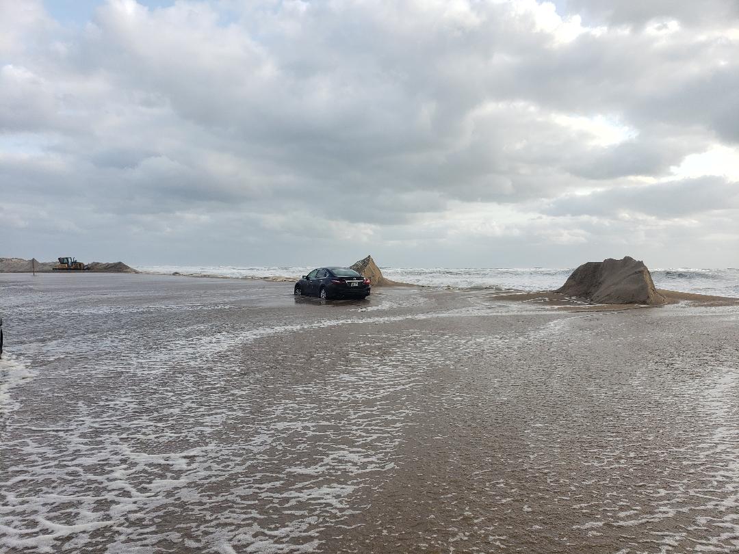
The Weather Service also says minor to moderate coastal flooding on the oceanside of the islands will likely develop by this weekend. The oceanside flooding will be caused by large swells, persistent northeast and north winds and astronomical high tides. The full moon is Sunday, Oct. 16.
The Weather Service says that gauges adjacent to Pamlico Sound continue to indicate water levels 1 to 2 feet above normal because of floodwaters from Matthew’s record rainfall that is moving down rivers and their tributaries and draining into the sound.
Minor coastal flooding along the sounds will continue into next week because of these floodwaters, gusty north winds, and because of increasing astronomical tides, which will peak early next week.
Most Hatteras islanders have noticed that even after Matthew’s storm surge receded late Sunday, Oct. 9, that the water levels on the soundside would rise in the afternoon about the time of high tide. Part of the increased water levels Monday were because of north winds that were still blowing 15 to 20 mph.
The Weather Service says that Hatteras and Ocracoke residents can expect water levels to remain about 2 feet above normal, with locally higher amounts up to 3 feet above normal..
Swimming in the ocean will remain dangerous through this period.
With various tropical systems hanging around offshore during September and early October, the rip current threat has been high along the Outer Banks more days than not.
Rip currents are most likely around low tide, which is around 12:30 a.m. on Friday.
Rip currents are powerful, usually narrow channeled currents of water, flowing away from shore. They typically extend from the shoreline, through the surf zone, and past the line of breaking waves. Rip currents can occur at any beach with breaking waves.
Swimmers are advised to use extreme caution and to never try to swim directly back into shore against a rip current because you will become quickly exhausted. If you become caught in a rip current, you should yell for help and remain calm. Do not exhaust yourself and try to stay afloat while waiting for help. If you have to swim out of a rip current, swim parallel to shore and then back to the beach when possible.
Beach-goers should use extreme caution if swimming in the ocean. There have been six drownings this year in the Cape Hatteras National Seashore, all associated with rip currents. And the National Park Service and local rescue squads report there have been many rescues and close calls.
For local weather information, go to http://www.weather.gov/mhx/. You can find the beach forecast, including the rip current forecast on the Island Free Press home page — at the top right. Click on the icon with the beach umbrella.


