Sandy will likely have an impact on the Outer Banks
A tropical depression in the southwest Caribbean Sea became Tropical Storm Sandy late yesterday and will likely be a hurricane in the next day or so.
The National Hurricane Center forecast track takes the storm over Jamaica and eastern Cuba and into the northern Bahamas by Friday.
The official track then curves the storm more north and northeast out into the Atlantic, but that track is far from certain at this point, according to forecasters. The storm could move in a more northerly direction right along the coast.
Either way, the Outer Banks will likely see some effects from Sandy.
“We think we will get some impacts,” John Cole, warning coordination meteorologists at the National Weather Service office in Newport, N.C., said this afternoon.
“There is a lot of uncertainty,” Cole said. “It will depend on how close it gets.”
The storm, he said, is also projected to be a large one and may become extratropical as it moves up the coast. Extratropical storms have cold cores rather than warm ones, and the result can be a much larger windfield.
The possible impacts, Cole said, could be coastal flooding, gusty winds in excess of 40 mph across the waters and along the coastal sections, building waves with the possibility of high surf conditions from Cape Hatteras north, and an increased rip current threat. There could also be moderate rainfall.
Cole expects the Weather Service in Newport will begin issuing local hazard weather briefings tomorrow. They are available on the website, http://www.erh.noaa.gov/er/mhx/.
In an e-mail to Hatteras friends today, Frank Rosenstein, who recently retired as a meteorologist at the Hydrometerological Prediction Center in Maryland, compared the possible path of the storm to Hurricane Noel in November 2007.
Noel passed well offshore of Hatteras but whipped up huge waves and brought winds that gusted over 50 mph. on Nov. 2, 2007
There was coastal flooding at the S-curves north of Rodanthe and on Pea Island. Five feet of sand and water kept Highway 12 closed for 24 hours from Friday, Nov. 2, into Saturday, Nov. 3.
Since Saturday is a turnover days for most rental cottages, there were huge traffic jams as visitors tried to leave the island and get here for their reservations for the next week.
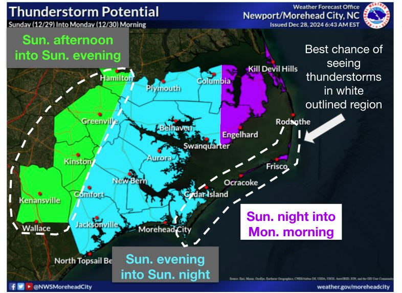
Cole said he thinks the Outer Banks will see the greatest impact from Sandy on Sunday into Monday.
The Weather Channel’s website says that the pressure gradient between Sandy and high pressure in the northeast U.S. will lead to increasingly strong winds over the Florida Peninsula, spreading northward to the Outer Banks of North Carolina and Virginia Beach through at least Saturday.
“Rip currents, high surf, and, eventually, some coastal flooding are possible in areas of the most persistent onshore flow,” the Weather Channel site said this afternoon. “Bands of showers on the outer periphery of the circulation may occasionally wrap into the coast, as well.”
The Weather Channel then presents two scenarios for Sandy.
Scenario Number 1:
One potential track takes Sandy or the so-called “post tropical remnant low” of Sandy on and an east-northeastward bend soon after leaving the Bahamas.
This would essentially keep this cyclone separate from an approaching upper-level trough in the polar jet stream and its associated surface cold front.
In this scenario, the cyclone would head toward Bermuda, or the open waters of the Atlantic Ocean, with relatively little impact along the remainder of the Eastern Seaboard.
Scenario Number 2:
In this scenario, a new area of low pressure could form off the New England coast early next week, bringing at least some rain to that area. This would be separate from the wrapped-up “post-Sandy” extratropical cyclone.
Another track scenario is much more ominous for the East Coast.
In this case, a so-called “blocking pattern” in the upper levels of the atmosphere over the Atlantic is so strong that it would not allow the storm to turn east into the open Atlantic, but, rather, drive northward just off the East Coast.
Furthermore, the upper-level trough in the polar jet stream we referred to above would provide an additional turbo-charged boost to this low, producing an intense East Coast storm!
High winds, heavy rain, coastal flooding and beach erosion would ride up the Northeast seaboard early next week, in this scenario. Of course, the high winds would extend inland, with the potential for downed trees and power lines.
This scenario could even wrap in just enough cold air on its western edge to produce wet snow, possibly heavy, in some areas of the eastern Great Lakes and Appalachians! Eerily, this would take place around the one-year anniversary of the “Snowtober” snowstorm.
In any case, residents and visitors should keep up with local weather statements and be prepared for wind and wave impacts.
With any luck, Sandy will be more like Noel – without the coastal flooding but with great wind and waves for surfers, windsurfers, and kiteboarders.
RELATED STORIES
To see a slide show of the effect of Noel at the S-curves:
http://islandfreepress.org/Archives/2007.11.29-ShootingTheBreeze-MirloBeach.html
Windsurfing in Hurricane Noel: http://islandfreepress.org/Archives/2007.11.05-SailingHurricaneNoelDoc.html
Surfing in Hurricane Noel: http://islandfreepress.org/Archives/2007.11.07-SurfingHurricaneNoel.html


