UPDATE: Sandy is forecast to bring high seas, wind, coastal flooding
Hurricane Sandy continues to confound forecasters, but as some of the models move closer together, at least in the short term, it appears that the Outer Banks will have some ugly to really ugly weather from Saturday into Monday.
The National Weather Service in Newport, N.C., says that though the models differ on the exact track that the storm will take, they all indicate that it will be a large and strong storm that will bring high winds, very rough surf, ocean overwash, moderate coastal flooding, and dangerous rip currents.
There are two main model tracks that forecasters are watching. One would actually take the storm onshore near the Outer Banks, while the other has it more offshore but curving to the northwest toward New England.
The Newport weather office is forecasting that Sandy’s closest approach to northeastern North Carolina will come Saturday into Sunday morning. Seas will peak during that time frame, the office says, as high as 20 feet.
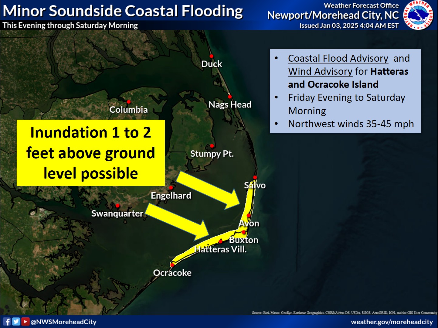
The main flooding threat, according the latest local impacts assessment, will be east facing beaches north of Cape Lookout late Saturday through Sunday evening. As the low lifts farther north, the winds will shift to the northwest, with possible flooding on the soundside of the Outer Banks.
If the storm, which is predicted to be a hybrid or post-tropical as it nears North Carolina, tracks closer to the coast, tropical storm force winds of 40 to 50 mph or greater will be likely. If the track is more offshore, winds would more likely be in the 30 to 40 mph range.
Depending on the track, rainfall could be in the range of 1 to 3 inches or as much as 5 inches or more.
Of major concern to residents and visitors on the Outer Banks, however, will be the high surf.
The Newport NWS office is forecasting seas on Friday of 5 to 7 feet, building to 7-10 feet in the afternoon. Friday night seas will increase to 9 to 12 feet and to 10 to 15 feet after midnight.
On Saturday and early Sunday, the forecast is for seas to peak at 14 to 19 feet, falling to 12 to 17 feet late on Sunday.
Seas that high are a fairly sure bet to send sand and water over Highway 12 in northern Rodanthe, the S-curves, and Pea Island. Islanders are anxious about what Sandy, likely the biggest storm to hit the area since Hurricane Irene last August, might do at the new inlet on Pea Island and to the temporary bridge there.
Travel on Hatteras and perhaps even northern Ocracoke will likely be interrupted — at least at times of high tide — on Saturday and Sunday. The high tides on those days will be early in the morning and in the evening.
In addition, there is a full moon on Monday, which means tides will run higher than normal even without a storm.
Dare County public information director Dorothy Killingsworth said today that the county will likely activate its new emergency management web page on Thursday.
It will have up-to-date information on the storm threats and conditions in the county. You will find this page at http://www.darenc.com/emergencymanagement/. And you can sign up to get an e-mail each time the page is updated.
Also the Newport Weather Service office has a new page on its website devoted to Sandy, with threat assessments and many graphics. You will find it at http://www.erh.noaa.gov/mhx/Sandy.php.
Click here to see the entire NWS local impact briefing for this evening.
Related Story
2012Archives/10.23.2012-SandyWillLikelyHaveAnImpactOnTheOuterBanks.html


