UPDATE: Sandy is ready to whip the Outer Banks
They’re calling it “Frankenstorm,” and it promises to be a monster when it makes landfall early next week in the northeastern U.S.
However, Hurricane Sandy is also going to have significant impacts on the Outer Banks.
The National Hurricane Center changed the tropical storm watch to an warning late this afternoon, and the Outer Banks can expect coastal flooding from both the ocean and the Pamlico Sound, high winds, high seas, and rainfall that could total 7 inches.
There are no evacuations ordered in Hyde or Dare counties, but the weather will steadily deteriorate, beginning Saturday and lasting into early next week.
Today was breezy on Hatteras and Ocracoke. A partly sunny morning gave way to intermittent showers and a humid, gray day.
At 5 p.m., Sandy was 560 miles south of Buxton with winds of 75 miles per hour and moving north at only 7 miles per hour.
That’s a weak category one storm, but don’t let that fool you.
Over the next several days, forecasters say the storm will transition from a tropical cyclone to a hybrid storm – part tropical and part northeaster. The wind field will spread out and will whip the coast from North Carolina into New England.
Dare County Emergency Management says winds will be gale force – 35 mph or more – by Saturday evening and increase to storm force – over 50 mph by early Sunday morning.
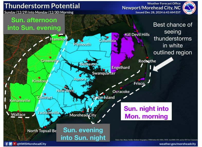
The National Weather Service in Newport, N.C., is forecasting winds of 35 to 45 mph on Sunday with gusts to 55 and from 50 to 60 mph with gusts to 75 Sunday night.
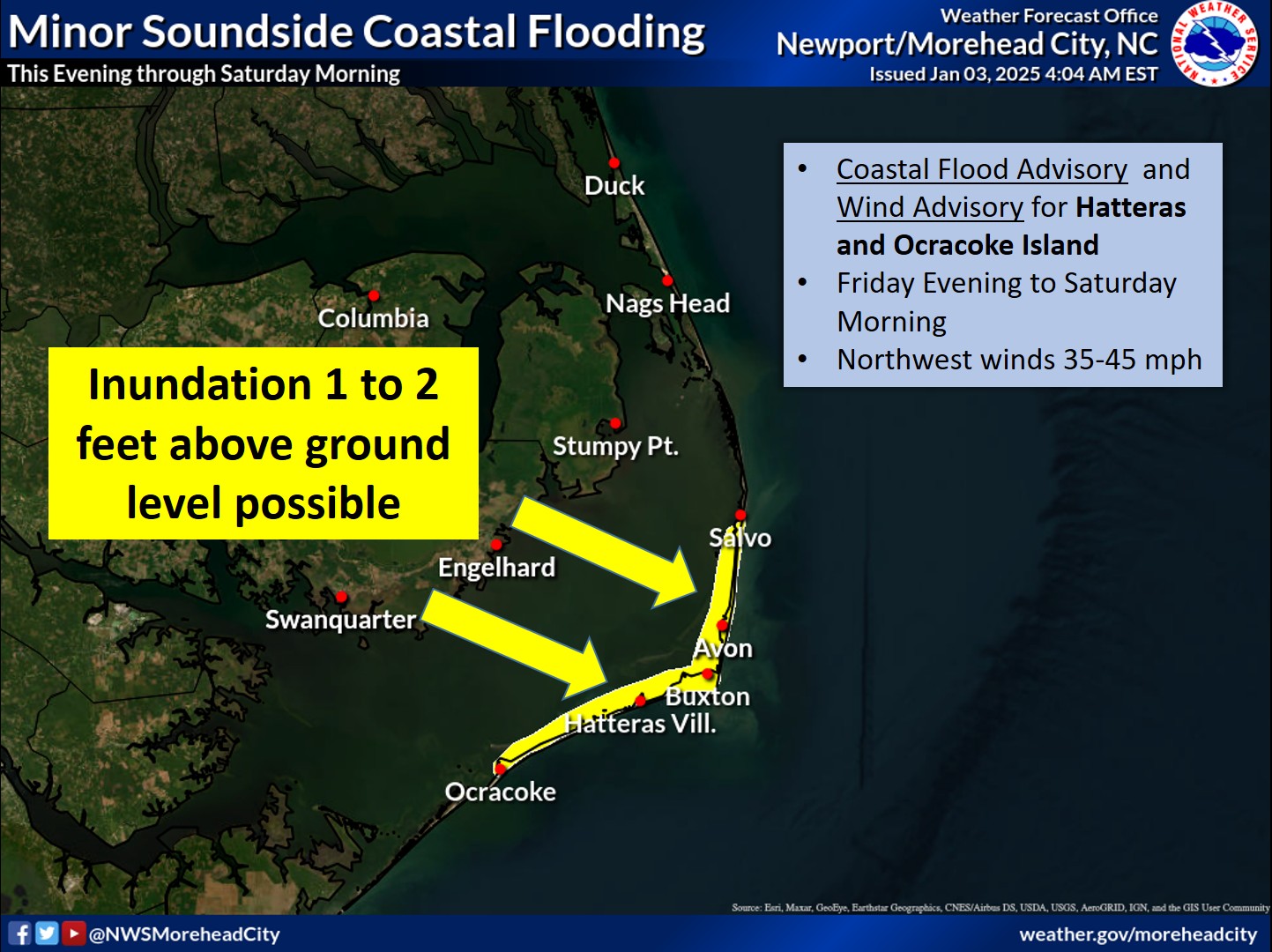
Very high seas offshore – up to 22 to 23 feet on Sunday – will bring sand and ocean overwash onto Highway 12, especially from Rodanthe through Pea Island. The Weather Service says ocean water will be 2 to 4 feet above ground level on northern Hatteras Island.
Under these conditions, Highway 12 will surely be closed and perhaps damaged by the pounding waves.
Winds will shift Sunday night into Monday to a more westerly direction, and the Weather Service advises that water on the soundside of the Outer Banks will be 3 to 5 feet above ground level.
Heavy rain will accompany the storm – from 4 to 6 inches and up to 8 inches in some areas, according to the weather service.
Frankenstorm is expected to hang around well into next week. Dare County Emergency Management predicts high winds in the area until Tuesday afternoon.
Though there are no evacuations, some rental management companies have been moving this week’s renter away from the oceanfront and advising them to leave today or risk being caught on the island when Highway 12 is closed.
It seems very likely that visitors whose rentals are scheduled to begin this weekend will not be able to get here because of the closed road. Dare County says visitors should check with their accommodations provider before traveling to the Outer Banks.
The county also advises residents and visitors to move their vehicles to higher ground and secure all property outside and on decks.
The North Carolina Department of Transportation is making preparations to ensure it is ready to respond. Crews are checking their equipment to make sure it is working properly, topping off their fuel tanks and reviewing their routes prior to the storm’s arrival.
NCDOT has front-end loaders, motor graders and bulldozers staged along Highway 12 12 in Ocracoke, Rodanthe, and Pea Island, south of the Bonner Bridge. This equipment is in addition to the equipment already at the maintenance yards in Manteo, Ocracoke, and Buxton. NCDOT has more equipment ready to mobilize if needed, as well as employees prepared to patrol N.C. 12 during and after the storm.
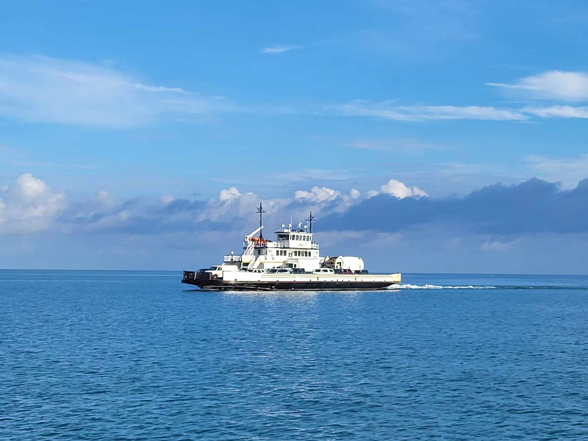
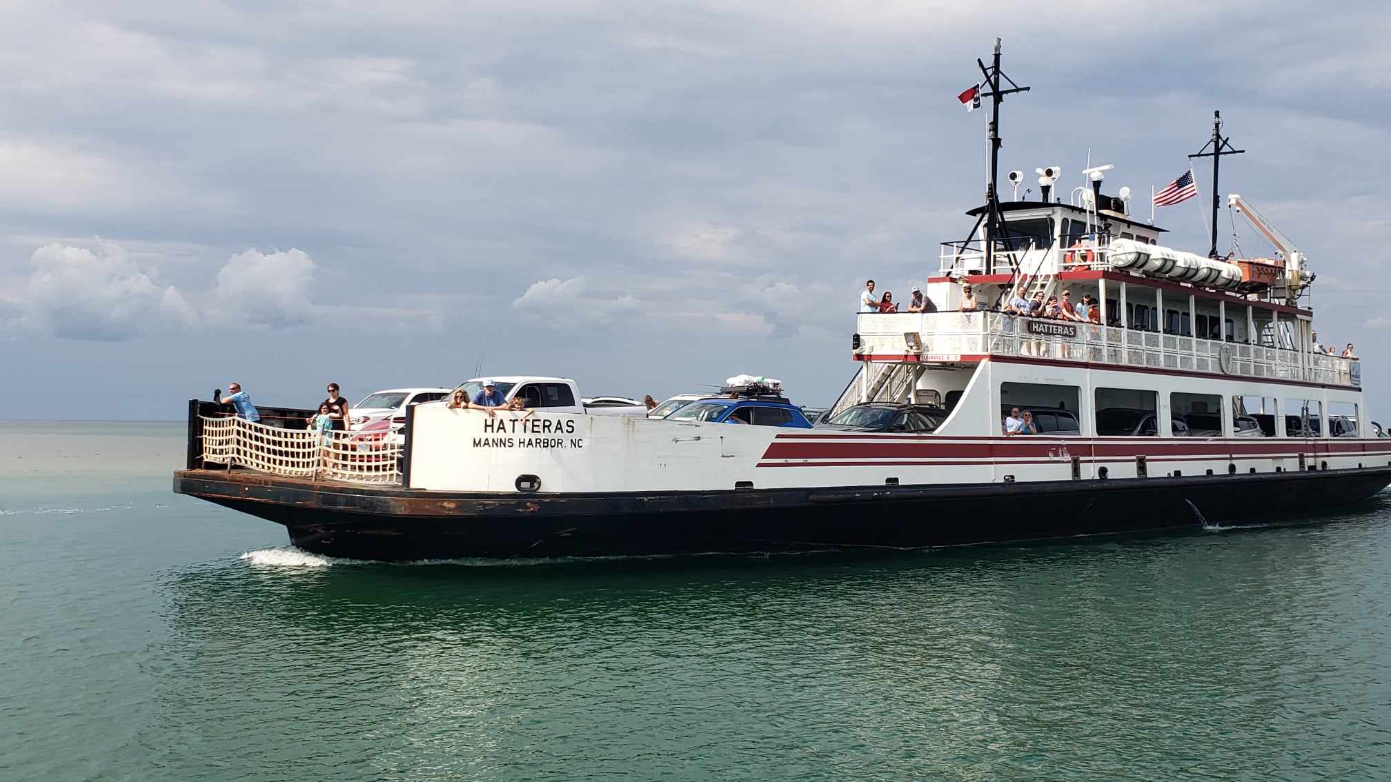
At this time, ferry service is running according to the regular schedule. NCDOT has moved the larger 180-foot ferries closer to Hatteras in case an emergency ferry route is needed once the storm passes.
NCDOT is also providing real-time information about travel conditions through its Twitter feeds. As the storm approaches, the department will send out tweets about road closures, flooding, ferry cancellations and evacuation routes. There are feeds for the northern coastal region, the southern coastal region and the ferry system. A list of NCDOT’s 18 Twitter feeds is available at www.ncdot.gov/travel/twitter.
Here is a list of resources on the NCDOT website:
2012Archives/10.23.2012-SandyWillLikelyHaveAnImpactOnTheOuterBanks.html
2012Archives/10.24.2012-UPDATESandyIsForecastToBringHighSeasWindCoastalFlooding.html


