UPDATE: It’s been a stormy day on Hatteras and Ocracoke as Sandy gets closer
Hurricane Sandy, aka Frankenstorm, made its presence known on Hatteras and Ocracoke islands today with heavy rain, gale force wind gusts, and some ocean overwash.
By and large, it was little more than a nasty day at the beach, although conditions are forecast to deteriorate overnight and tomorrow.
At 5 p.m., Sandy was some 400 miles south of Buxton with winds of 75 mph and was moving north at 13 mph.
The storm is beginning to transition from a tropical cyclone to a northeaster. As one Weather Channel meteorologist put it, Sandy is now a hurricane within a northeaster.
The center of the storm was still tropical with a center of circulation, but heavy rains and gusty winds were spreading out north and west of it, more like a northeaster. The wind field will continue to expand as Sandy continues this transition to a hybrid storm.
Yesterday’s showery weather on the Outer Banks gave way to a steady rain today with winds sustained at times at 20 to 25 with gusts to gale force.
Winds will pick up tonight, and Dare County Emergency Management says coastal areas will see sustained winds of 40 to 55 mph with gusts from 50 to 70. Rainfall is forecast to be 5 to 8 inches with up to 10 inches in some locations.
Coast flooding is almost a sure thing.
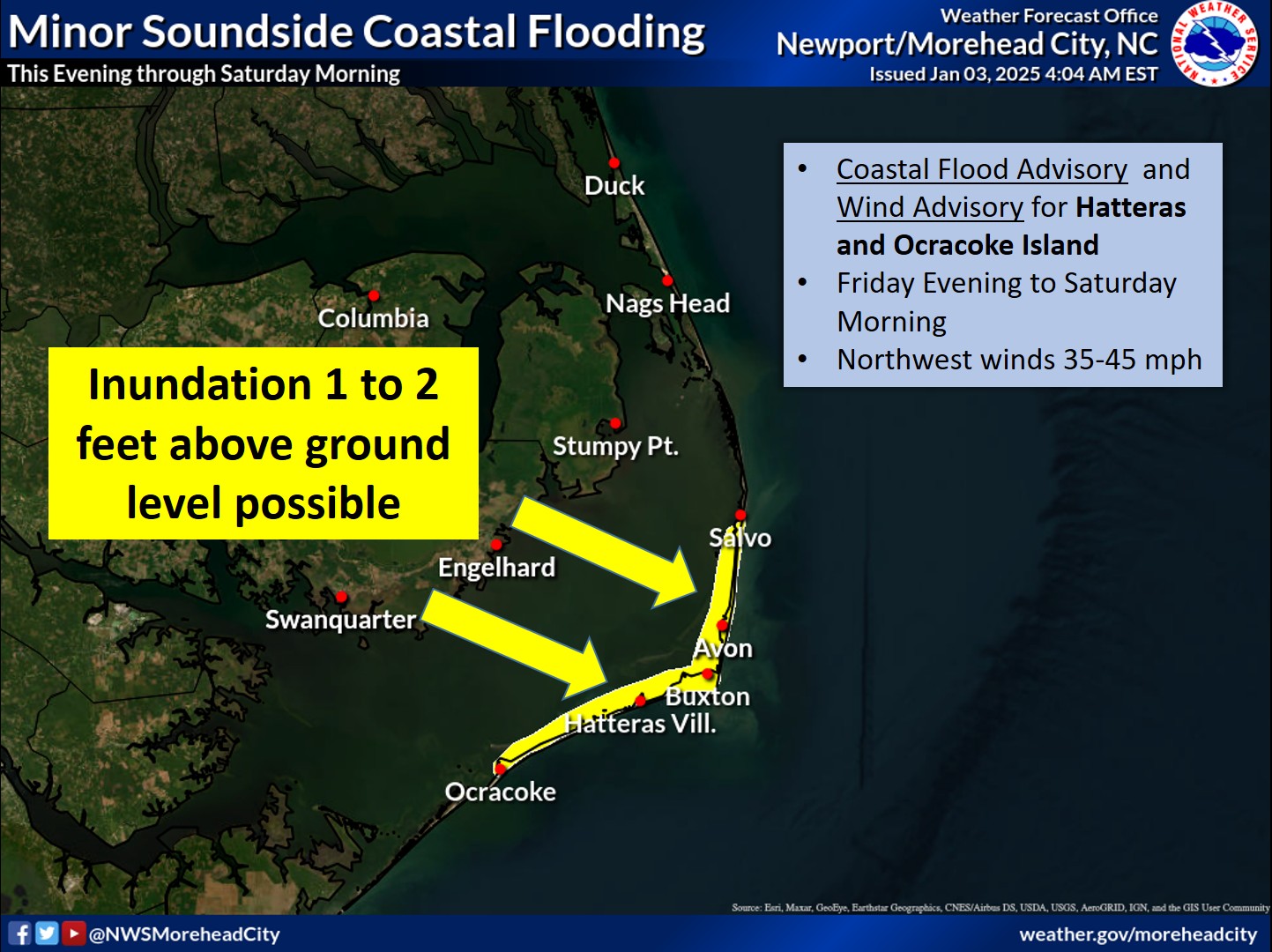
This morning’s high tide about 6 a.m. breached several dunes and sent sand and water onto Highway 12 between Frisco and Hatteras village and on northern Ocracoke. Dot quickly cleared the roads, but subsequent high tides tonight and tomorrow are predicted to bring more serious flooding of 3 to 5 feet above ground level.
When the winds shift to the northwest Sunday night into Monday, soundside flooding in expected on all of Hatteras and Ocracoke and maybe other areas of Dare County. Sound flooding could be 3 to 5 feet above ground level.
Very gusty winds are forecast to continue will into Tuesday.
The North Carolina Department of Transportation’s Ferry Division suspended operations Saturday morning on the Hatteras Inlet route because of ocean overwash on Highway 12 on Ocracoke and Hatteras. It suspended other ferry operations later in the day, and there are currently no ferries to or from Ocracoke.
There have been no evacuations in Dare or Hyde counties. However, Dare County Emergency Management has been advising all week that Highway 12 is likely to be closed or damaged in the storm and that all visitors with reservations for the upcoming week contact their accommodations providers before traveling to the islands.
The county is also advising all residents and visitors to stay inside and off the roads during the period of gusty winds and heavy rain.
An Island Free Press reader also suggested that residents remove all campaign signs they have place in their yards and along the highway. These signs could well become missiles if winds gust as high as predicted.
NCDOT is providing real-time information about travel conditions through its Twitter feeds. As the storm approaches, the department will send out tweets about road closures, flooding, ferry cancellations and evacuation routes. There are feeds for the northern coastal region, the southern coastal region and the ferry system. A list of NCDOT’s 18 Twitter feeds is available at www.ncdot.gov/travel/twitter.
Here is a list of resources on the NCDOT website:
Power outages are possible, but the Cape Hatteras Electric Cooperative has said it is monitoring the storm and getting ready to restore power as quickly as possible when conditions permit. Contract crews are on standby should assistance be needed.
The outage reporting number on Hatteras is 866-511-9862.
The National Park Service closed the Ocracoke Campground at noon on today, and it will remain closed for the season. All National Park Visitor Centers, including Ocracoke, Hatteras Island, Bodie Island and Wright Brothers and Fort Raleigh, closed at 5 p.m. today and will remain closed until further notice.
Because of the forecast strong northeasterly gale force winds, storm surges, high lunar tides, and rough ocean conditions, park beaches were also closed to off-road vehicles this afternoon and will remain closed until further notice.
Dare County will continue to issue bulletins on its emergency management web page throughout the storm. The next advisory will be 9:30 a.m. on Sunday morning. You will find this page at http://www.darenc.com/emergencymanagement/. And you can sign up to get an e-mail each time the page is updated.
Ocracoke information is available on the Hyde County Public Information Facebook page at http://www.facebook.com/pages/Hyde-County-Public-Information/245782495454520.
Also the Newport Weather Service office has a page on its website devoted to Sandy, with threat assessments and many graphics. You will find it at http://www.erh.noaa.gov/mhx/Sandy.php.
Previous stories about Hurricane Sandy


