UPDATE: Hatteras and Ocracoke are slammed with water everywhere….WITH SLIDE SHOW
Highway 12 south of the Bonner Bridge to Rodanthe was closed early this morning because of sand and water from ocean overwash.
The ocean is pouring over the dunes and onto Highway 12 in north Buxton by the motels, and also between Frisco and Hatteras at the site of Isabel Inlet, carved out by a 2003 hurricane.
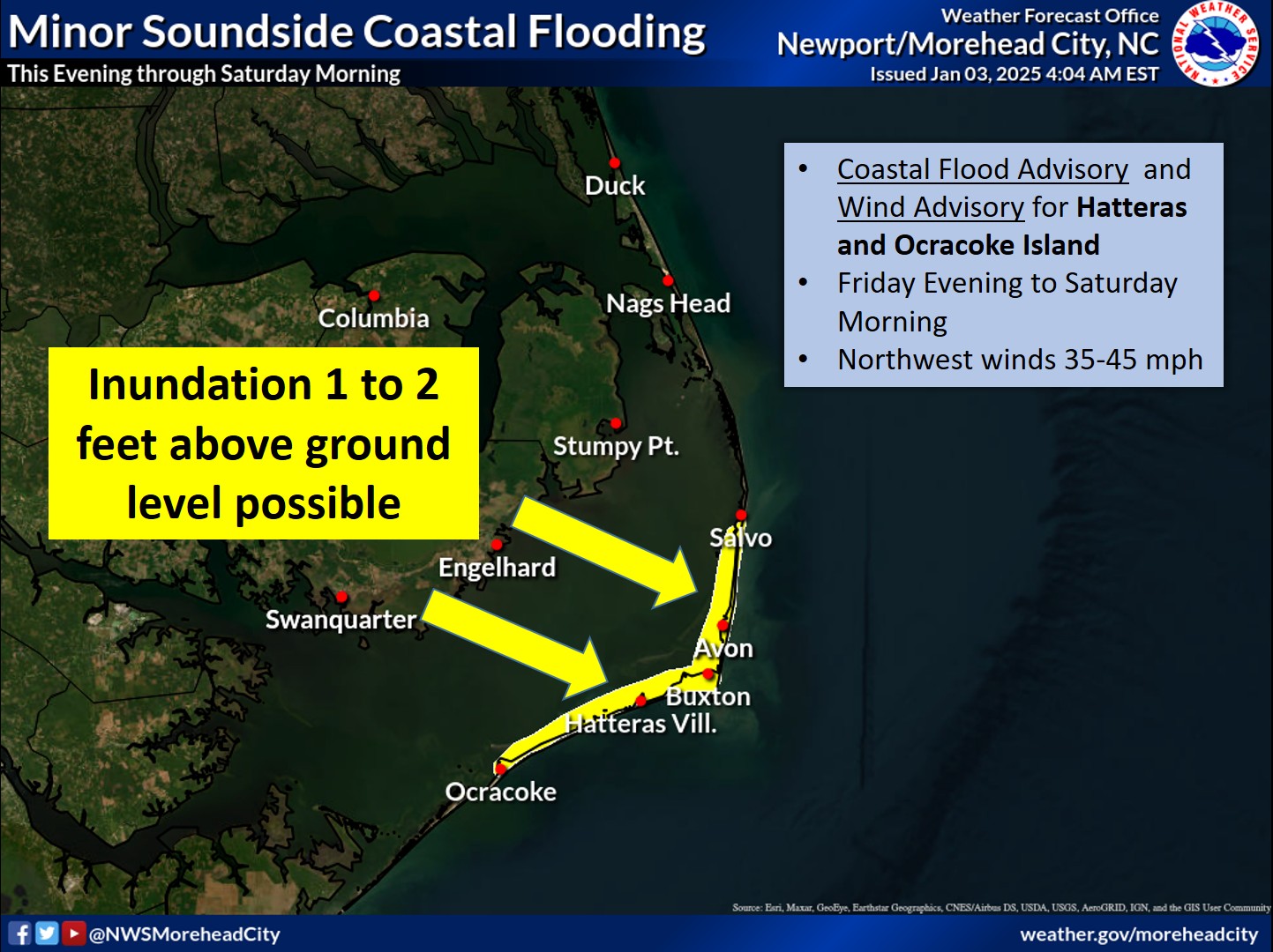
And, on top of that, storm surge from the Pamlico Sound is inundating Ocracoke, Hatteras, and at least Frisco at this point.
In short, there is water everywhere. And in some places, such as the narrow strip of land between Frisco and Hatteras, the water is pouring in from both the ocean and the sound at the same time.
The soundside flooding began early this morning just before daybreak and caught most islanders by surprise. Winds are not forecast to go to the northwest until tonight, and southern Hatteras and Ocracoke usually get flooding almost only on northwest winds.
But this morning’s flooding started when the wind shifted from northeast to north. Winds have been sustained from the north in the mid-40 mph range with gusts up to 69.
Forecasters at the National Weather Service in Newport, N.C., say the winds will still shift to the northwest and then the west as Sandy moves north of the Outer Banks later today and tonight.
However, at 8 a.m., the hurricane was still 260 miles southeast of Cape Hatteras, so island residents and visitors can probably count on the punishing winds and flooding for at least another day – and maybe longer.
Ferries have stopped running and with Highway 12 closed north of Rodanthe to the Bridge and breached in several areas to the south, there is basically no exit for islanders and visitors – nor is there easy access without driving through deep water between many of the villages.
No evacuation was called for in Dare and Hyde counties, and many visitors arrived at rental houses yesterday before the highway was closed. Now, they are marooned for at least today and probably tomorrow.
Meteorologists say the huge storm that is Sandy and has been dubbed Frankenstorm by some is almost 800 miles in diameter and is affecting areas on the entire East Coast. It is expected to pass offshore of the Outer Banks by tomorrow and take a left turn into the northeast, perhaps New Jersey.
The Weather Service forecasts that winds will remain in the range of 35 to 45 sustained with gusts of 55 to 65 into tomorrow. The forecast is for flooding on the ocean side north of Rodanthe that will be 4 to 6 feet above ground level. Soundside flooding is predicted at 3 to 5 feet above ground level.
Breaking waves today will be in the range of 10 to 15 feet, and the heavy rain has barely let up since late Friday night. Total rainfall is expected to be 5 to 8 inches with up to 10 inches in some locations.
The Island Free Press will continue to update the impact of Hurricane Sandy, and we expect to have another story and slide show this evening.
Previous stories about Hurricane Sandy


