Waterways group discusses short- and long-term Hatteras Inlet projects
The Dare County Waterways Commission discussed a range of current and upcoming dredging projects at a lightly attended meeting in Buxton on Monday, Dec. 12.
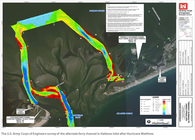
The commission currently has two major goals, both related to shoaling in Hatteras Inlet. The immediate goal is to keep the channel west of the gorge — or the long route — that maritime traffic has been using open, and the long-term goal is to re-open the shorter route east of the gorge, which is a much more complicated project, logistically.
Emily Hughes, an environmental resources biologist with the U.S. Corps of Engineers, outlined the steps the Corps had taken to date to work on the long-term goal of reopening the shorter route.
Essentially, in order to dredge effectively for the proposed short route, the Corps of Engineers needs to adjust the planned 100-foot corridor with 50-foot wideners on either side. This will essentially make it easier to follow the deep water when dredging using a side-cast, hopper, or pipeline – which are all possible dredging methods for an upcoming project at this point. In order to add the 50-foot wideners, the Corps needs to go through a permit process, which includes coordination with the resource agencies and other entities with a stake in the dredging.
The Corps has started these initial steps by sending out geotechs to take sediment samples from the planned route – a process which has not been done since 2006. These materials will then be analyzed to characterize the material type, and determine the optimal disposal options.
In addition to the presentation and updates from the Corps of Engineers on the long-term short corridor, the commission also discussed a number of topics related to current dredging projects.
Chief Petty Officer Manuel Gonzales of the U.S. Coast Guard reported that a proposal has been submitted to get two offshore buoys returned to the main channel. Based on the schedule of the cutter required to move the buoys, if the proposal gets approved in the near future, the two buoys could be moved by the first week of January. Otherwise, because of the specific schedule of the cutter, it will happen in March.
The USCG also moved five buoys to follow the new “S-curves,” which have recently appeared in the area near markers 14 and 15, behind Hatteras village.
“The biggest news here is that we’re making strides to get these buoys moved,” said Gonzales at the meeting.
The Corps of Engineers also reported that the dredge vessel Merritt had departed the Morehead City region that morning and was headed towards Manteo. The Merritt will be used to dredge the 14/15 S-curves area, where the ferries make their turn around Barney’s Slough, with the proposed dredging slated to begin in late December, either on the 19th, or around the 26th.
During the meeting, the Corps of Engineers also unveiled the Nov. 15-18 survey for Hatteras Inlet, which showed little change from previous surveys.
In addition to the immediate dredging around the S-curves, the commission also reviewed the status of the upcoming dredging project throughout the “Big Box” of Hatteras Island, or the area throughout the inlet region where dredging needs to be permitted.
CB&I Coastal Planning & Engineering, Inc. which is based in Wilmington, N.C., had recently partnered with the county to address dredging west of the gorge at Hatteras Inlet.
According to CB&I Client Program Manager Ken Wilson at a late August Waterways Commission meeting, the contract allows the Corps to dredge a channel following the deep water area in the Connecting Channel or West Channel region and allows the Corps to dredge within the “Big Box” to follow whatever slough opens up for that area in the coming years.
In addition, the second objective of the contract and subsequent permits is to allow the Corps of Engineers to do maintenance dredging across the ocean bar to make sure they can get the hopper dredge across the ocean bar if they need to, and the third objective is to establish a near-shore disposal area on the northeastern edge of Ocracoke Island.
As of the Dec. 12 meeting, the issue had been resolved, and no archeological survey will be required, provided that the Corps continues to dredge where they had before, within the “Big Box.” If the Corps needs to go outside the box, then an archeological survey would come into play again.
As a proactive step, the Dare County Board of Commissioners in conjunction with the Waterways Commission, has started to investigate what an archeological survey would cost, in case the “box” needed to be enlarged at some point in the future.
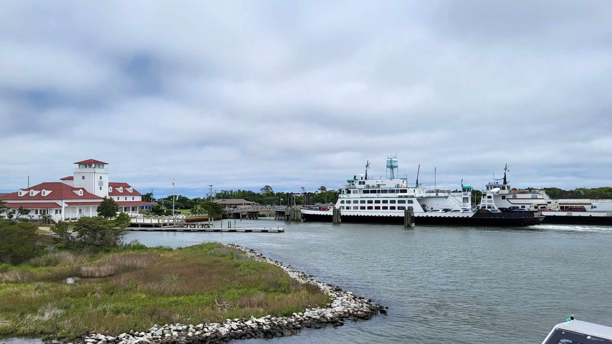
There was also some discussion on the potential dredging that would be required if and when the Hatteras-Ocracoke passenger ferry comes to fruition. Essentially, the new ferry would turn right out of Hatteras Harbor, and then go out of Rollinson Channel, which has not been dredged in a long time, and which will need to be cleaned up in order to avoid potential delays.
As it stands, if a passenger ferry went through the route and encountered another vessel, the channel is narrow enough that both vessels would likely have to slow down to pass.
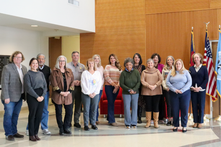
The meeting was attended by representatives from the U.S. Corps of Engineers, the NCDOT Ferry Division, members of the U.S. Coast Guard, and few – if any – members of the general public.
Committee members Ronald Lowe, Dan Oden, Steve “Creature” Coulter, David May, and Fletcher Willey were in attendance – Danny Couch and Ernie Foster were absent.
The next meeting of the Dare County Waterways Committee will be Jan. 9 in Manteo, and the next Buxton meeting will be Feb. 13. The committee plans to hold their monthly meeting every other month in Buxton for the duration of 2017.


