Confidence increasing that the Outer Banks will see impacts from Sally
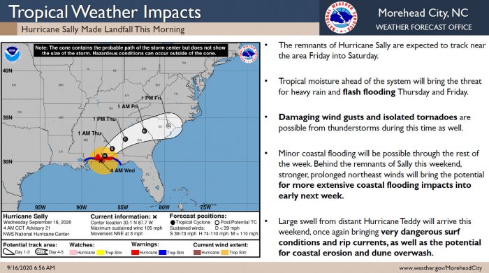
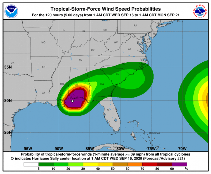
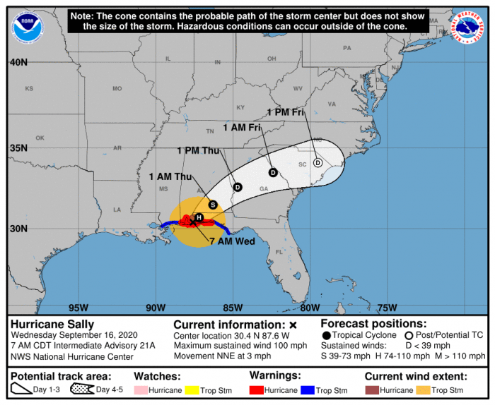
Confidence has increased that Eastern N.C. and the Outer Banks will experience some impacts from the remnants of Tropical Cyclone Sally beginning Thursday and indirectly lasting into next week, per a Wednesday morning update from the National Weather Service (NWS) Newport / Morehead City office.
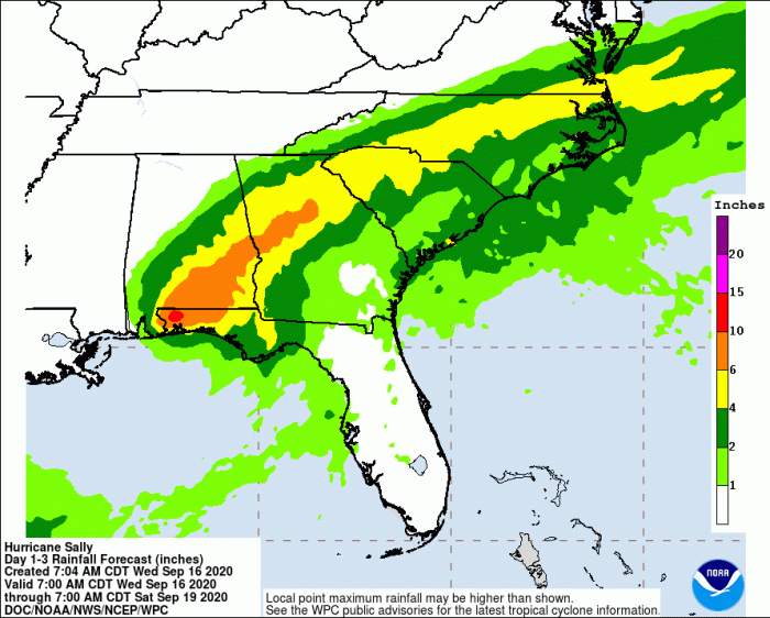
The remnants of Hurricane Sally are expected to track near the Eastern N.C. area on Friday and Saturday. In addition to the minor coastal flooding impacts that are still a concern, heavy rains with possible flash flooding is expected both Thursday and Friday. Severe weather is possible, which includes damaging wind gusts and isolated tornadoes.
Strong and prolonged northeast winds behind the remnants of Sally will cause elevated water levels and possible coastal flooding, large waves, dangerous rip currents, beach erosion, and possible ocean overwash. Large swell from distant Hurricane Teddy will also arrive this
weekend, once again bringing very dangerous surf conditions and rip currents, as well as the potential for coastal erosion and dune overwash.
For more information on the local forecast, visit www.weather.gov/mhx for weather information, or the National Weather Service office in Newport / Morehead City’s Facebook page at https://www.facebook.com/NWSMoreheadCity/.
