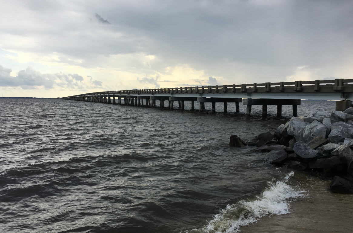
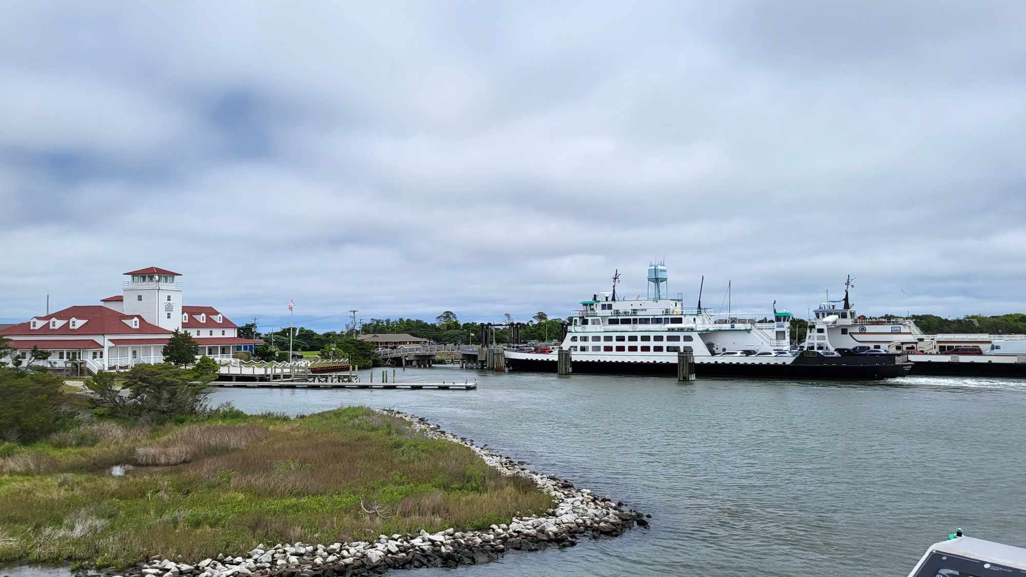
Heavy rains, High rip current risk expected as remnants of Sally impact the OBX
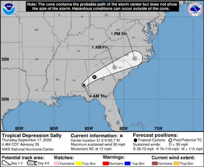
Confidence continues to increase that Eastern N.C. will experience some impacts from the remnants of Tropical Cyclone Sally beginning today and indirectly extending into next week, per a Thursday morning update from the National Weather Service (NWS) Newport / Morehead City office.
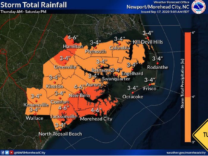
The remnants of Tropical Storm Sally are expected to track near the Outer Banks area Friday into Friday Night. Tropical moisture ahead of the system will bring the threat for heavy rain and flash flooding today through Friday, with up to 4 inches of rain forecast through Saturday evening. Continued tropical downpours will likely result in some areas of flash flooding, especially over the N.C. coastal plain.
A few storms could become strong to severe, producing damaging wind gusts with isolated tornadoes possible.
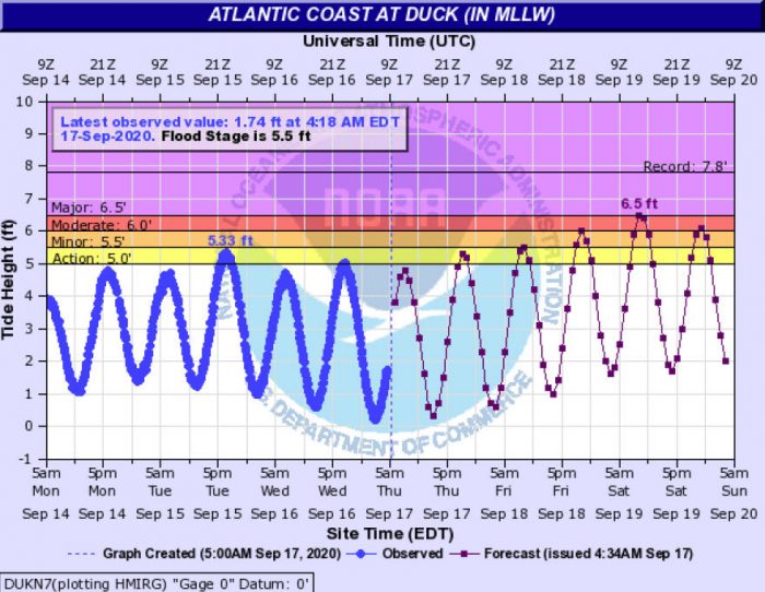
High astronomical tides will bring the threat for minor to moderate coastal flooding around the time of each high tide for the next several days.
In addition, strong, long period swell from Hurricane Teddy will arrive this weekend, bringing increased potential for significant beach erosion and dune overwash, and stronger winds this weekend could bring more extensive coastal flooding impacts.
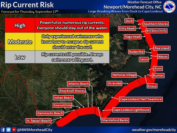
A high risk of rip currents is also in effect for Thursday, due to large, powerful, and dangerous surf from Teddy, and will continue into the weekend.
For more information on the local forecast, visit www.weather.gov/mhx for weather information, or the National Weather Service office in Newport / Morehead City’s Facebook page at https://www.facebook.com/NWSMoreheadCity/.


