New Dare County Flood Maps in effect as of June 19
 The State of North Carolina and FEMA have released updated flood maps for all of Dare County. Flood maps serve as the cornerstone for floodplain management. The updated maps are scheduled to be effective on June 19, 2020. The updated flood maps cannot be used for flood insurance rating purposes until they become effective in June 2020.
The updated flood maps feature significant changes from the 2006 flood maps.
- Many properties will be re-classified as Shaded X or X zone properties, which are considered low-risk zones.
- Other properties that remain in a flood zone, such as the AE flood zone, may have a lower base flood elevation.
For example, a property designated AE8 on the 2006 maps may be designated as AE4 on the updated maps.
What does this mean for you?
Potential cost savings on your flood insurance policy. Talk to your insurance agent about how your flood insurance rate is set and what savings you may realize once the updated maps are adopted.
What does this mean for your community?
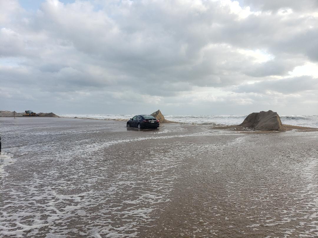
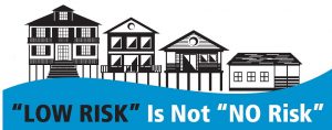
Flood maps only depict those areas subject to a 1% annual chance of flooding and do not reflect other flooding sources such as heavy rainfall or elevated groundwater levels. Floods can happen anywhere. Natural hazards and storms are a part of living on the Outer Banks and the sustainability of our community depends on managing flood hazards from all sources. Dare County and its Towns recognize the importance of protecting our infrastructure, our homes and our businesses. We have joined efforts to educate the public on how to protect your home from flooding, to raise awareness on the importance of flood insurance, and to develop local elevation standards to protect our community for future generations.
In response to the maps, Dare County is considering the adoption of a local elevation standard to use in conjunction with the flood maps. The local elevation standard (LES) would apply additional freeboard amounts in AE flood zones and establish a regulatory flood elevation level for Shaded X and X zones where the natural grade is below a certain elevation. These regulations would apply to the unincorporated areas of Dare County which include Martin’s Point, Colington, the Mainland villages, Roanoke Island (outside of the Manteo town limits) and Hatteras Island.
The local towns of Manteo, Nags Head, Kill Devil Hills, Kitty Hawk, Southern Shores and Duck may also consider similar regulations. For information on their efforts, you should the town directly.


