New navigational channel at Oregon Inlet established
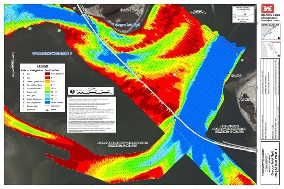
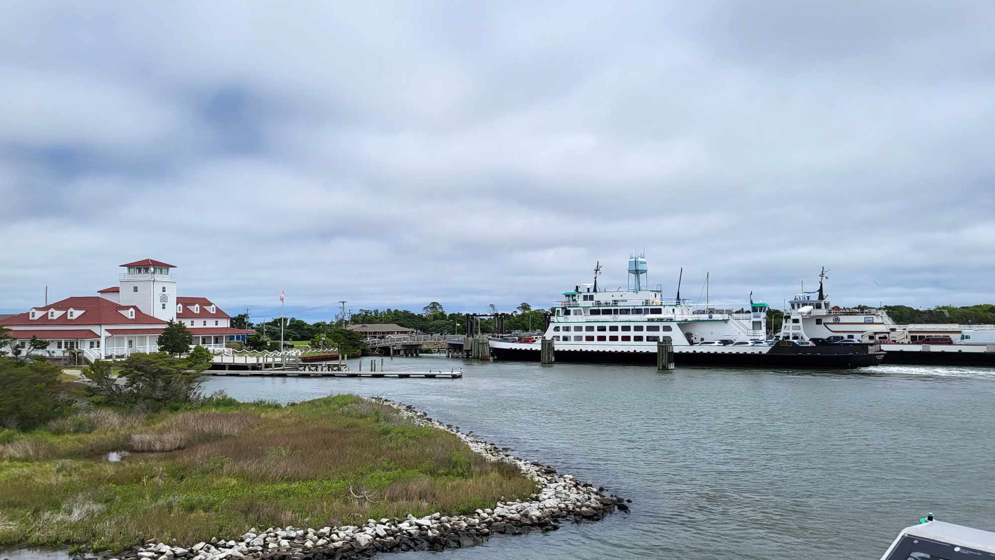
The U.S. Coast Guard released a Marine Safety Information Bulletin on Thursday, May 26, stating that a new navigational channel at Oregon Inlet had been set, and that the inlet is open for vessels.
On May 20, the U.S. Army Corps of Engineers performed a condition survey which indicated that the portion of the marked federal channel along the Marc Basnight Bridge between Buoys 17 and 21 was completely shoaled in (indicating depths of 2-3 feet at MLLW), and unnavigable for most vessels. However, the Oregon Inlet Fishing Center reported on May 20 that their charter fleet set their plotters by hand, and in a way that did not directly correspond with the aforementioned markers, which allowed them to continue maneuvering through the channels and inlet.
The May 26 Marine Safety Information Bulletin is below:
A new navigational channel at Oregon Inlet has been established. The previous Oregon Inlet Channel on the west side of the Marc Basnight Bridge (NC-12), between spans 23 and 31, has been disestablished due to severe shoaling.
Span 34, between bents 33 and 34, has been designated as the temporary navigation span for the Marc Basnight Bridge (NC-12) over Oregon Inlet, mile 0.5, between Rodanthe and Nags Head, Dare County, NC. Span 34 provides a vertical clearance of approximately 37 feet above mean high water and a horizontal clearance of approximately 146 feet. Mariners should transit this area with extreme caution and due regard for the reduced navigational clearances, lack of a bridge fender system and shoaling in the waterway.


