Significant ocean overwash occurring with Monday morning’s high tide
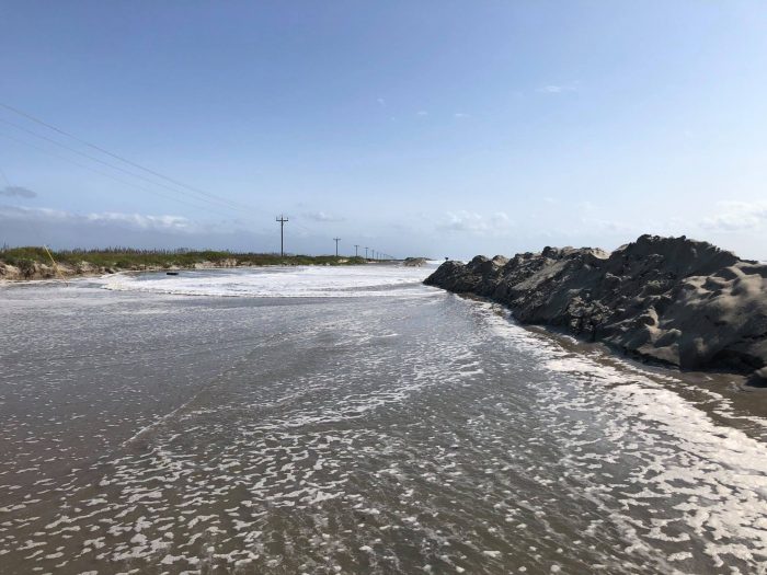
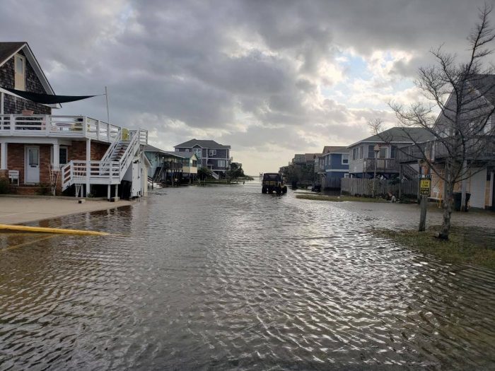
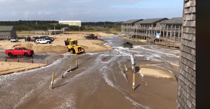
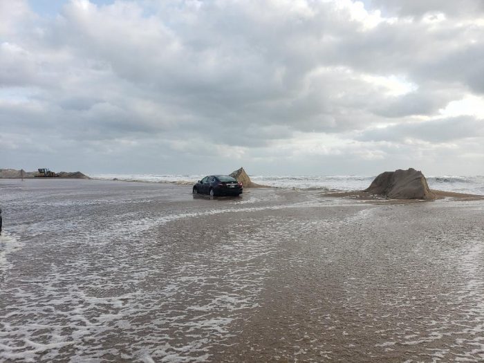
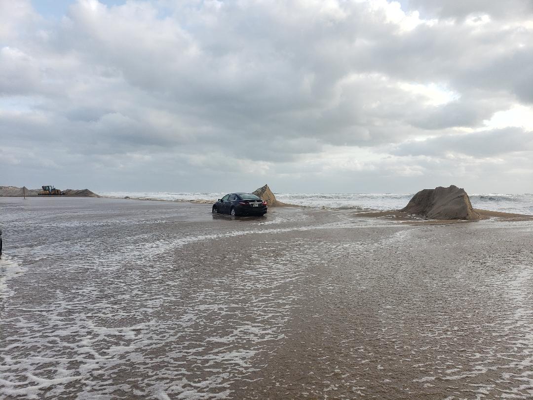
Significant ocean overwash was reported with Monday morning’s high tide on stretches of Hatteras and Ocracoke islands that have already been battered by coastal flooding over the weekend. Per an update from the National Weather Service, the high tide late on Monday morning will bring the highest water levels of the week, coinciding with the very large swell from Teddy, which will also be at its peak.
Expect ocean overwash and inundation of low-lying areas to occur well outside of the usual places along the Outer Banks. This includes the Outer Banks north of Oregon Inlet, where impacts have been limited thus far, but where beach erosion and the increased water levels could bring new overwash issues later this morning with the inundation of roads, parking lots, and properties near the dune lines possible.
As of 11:30 a.m., overwash was reported on northern Ocracoke Island, north of Hatteras village, northern Buxton, Ocean View Drive in Avon, Mirlo Beach, and Pea Island.
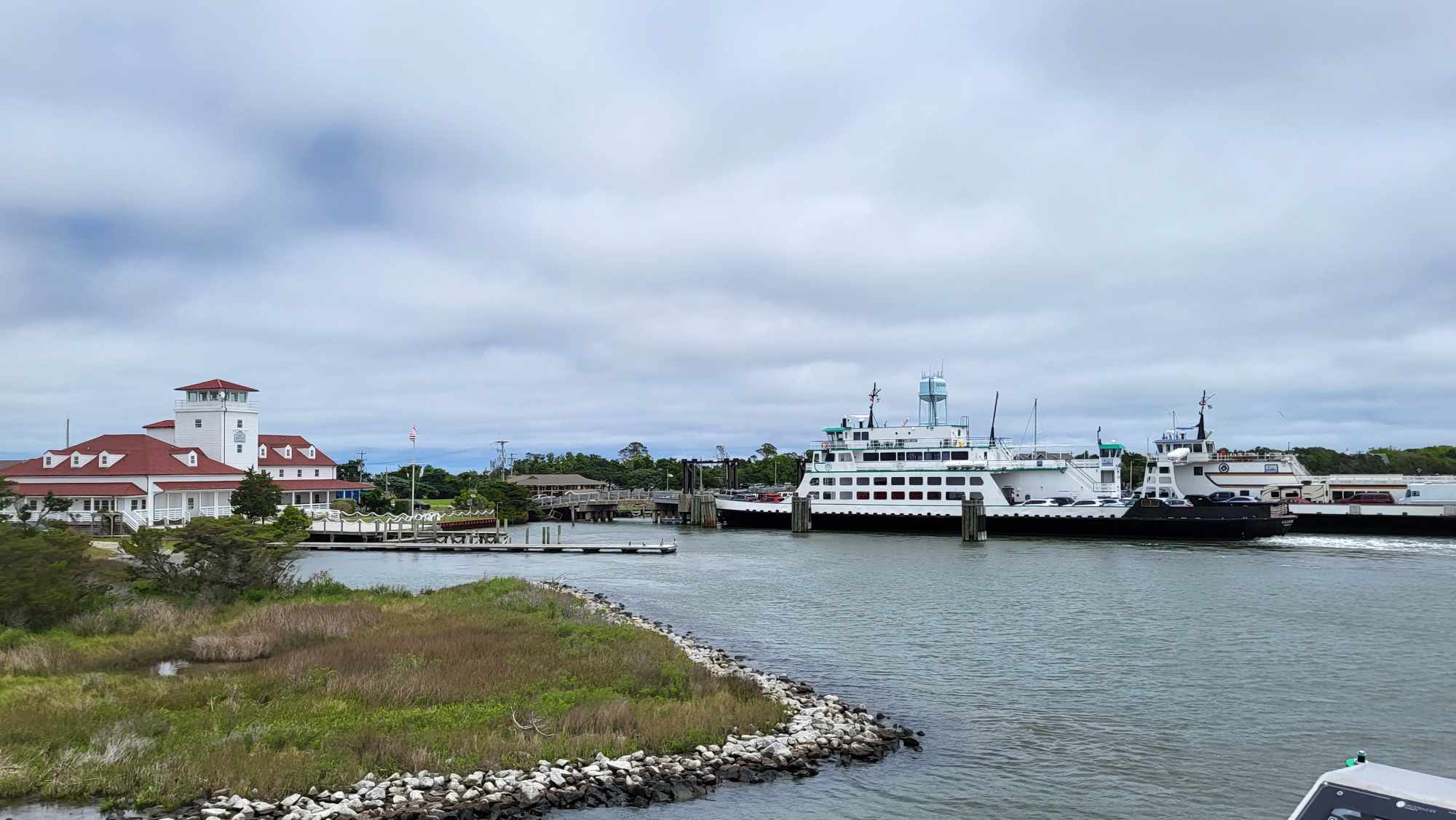
N.C. Highway 12 remains closed in between Rodanthe and Oregon Inlet on Hatteras Island, and in between the pony pens and the ferry terminal on Ocracoke Island. At this point, NCDOT expects these portions of N.C. 12 to remain closed until Tuesday afternoon, and ferry service between Hatteras and Ocracoke has also been suspended until the highway reopens on Ocracoke Island.
Winds will begin to subside late Monday, along with the most significant coastal flooding impacts. However, a high risk of rip currents will remain elevated through the beginning to the middle of the week. Beach erosion is also likely to continue on Monday, with 7-to-12 foot breaking waves.
A Coastal Flood Warning remains in effect for the Northern Outer Banks and Hatteras Island, and a High Surf Advisory is in effect from Duck to Surf City, N.C.
The following areas are especially prone to ocean overwash, and will likely be impacted over the next several high tide cycles:
- South of the Basnight Bridge to the Pea Island Visitor Center
- Mirlo Beach area, on the northern edge of the tri-villages
- South of the Avon Pier along Ocean View Drive
- At the north end of Buxton
- Between Frisco and Hatteras Village
- Along Pole Rd., south of Ramp 55 in Hatteras village
- Along the north end of Ocracoke island
For more information on the local forecast, visit www.weather.gov/mhx for weather information, or the National Weather Service office in Newport / Morehead City’s Facebook page at https://www.facebook.com/NWSMoreheadCity/.
Today’s morning update
Posted by Cape Hatteras Motel on Monday, September 21, 2020
