Soundside flooding reported on northern Hatteras Island on Saturday afternoon
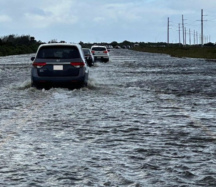
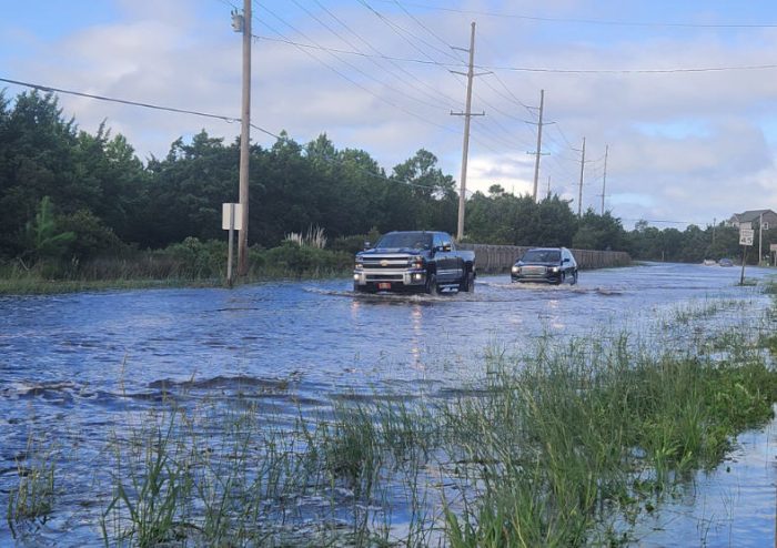
Soundside flooding was reported in multiple locations on Hatteras Island on Saturday afternoon, including side streets in Avon, in the Tri-villages communities of Rodanthe, Waves, and Salvo, and on northern Pea Island.
Road conditions per a 6:15 p.m. Saturday update from the Dare County Sheriff’s Offices are as follows:
- N.C. Highway 12 in the Tri-Villages at Colony Drive to the Wind Over Waves Subdivision is CLOSED due to excess flooding. Traffic is being diverted down Colony Drive to Rampart.
- New Inlet to Milepost 35 has 1-2 inches of water on the road. N.C. 12 north of the Jug Handle Bridge for approximately 4-5 miles has about a foot of water on both sides of the road.
- From Resort Rodanthe to the Outer Banks KOA Resort in Rodanthe, there is approximately 4-6 inches of water on the roadway.
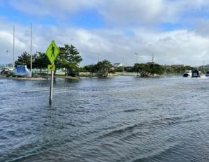
N.C. Highway 12 remained passable throughout, but the public should avoid traveling if possible, and use caution when driving through any standing water, as saltwater can severely damage vehicles.
The public can keep tabs on water levels and sign up to receive alerts if water levels in a specified area begin to rise due to storm surge through www.FIMAN.NC.gov.
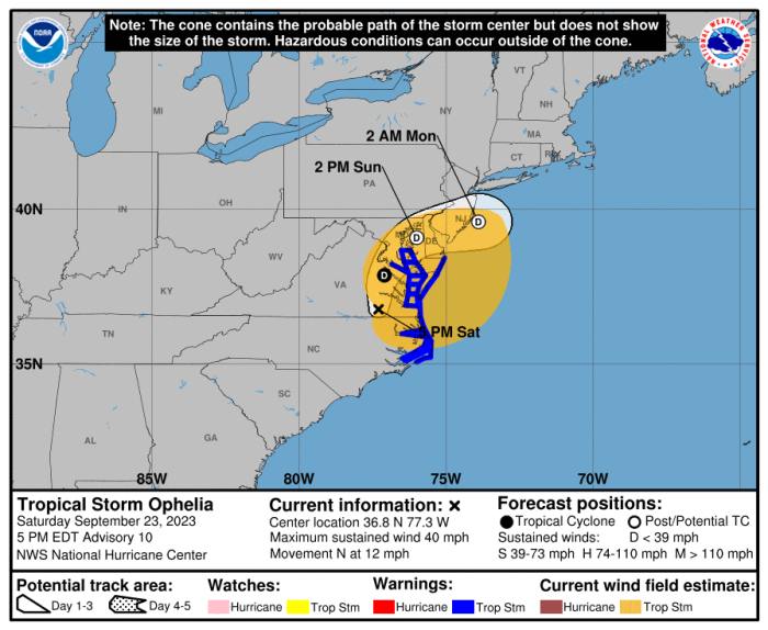
A Tropical Storm Warning, Storm Surge Warning, and Coastal Flood Advisory remains in effect for the Outer Banks.
As of 5:00 p.m. on Saturday, Tropical Storm Ophelia was located about 50 miles south of Richmond, Virginia, and was moving north at 12 mph with maximum sustained winds of 40 mph.
Additional weakening is expected, and Ophelia is likely to become a post-tropical cyclone tomorrow. Tropical-storm-force winds extend outward up to 310 miles (500 km) from the center.
Ocean conditions will remain unsafe for swimming for the next several days. The public should check surf and swimming conditions before heading to the beach, and the daily beach forecast at www.weather.gov/beach/mhx includes rip current risk levels, and information about other hazards along the shoreline. In addition, the public can visit Dare County’s Love The Beach, Respect The Ocean website for current rip current risks and additional info.
Visitors are also encouraged to sign up for text alerts from Dare County, ocean rescue agencies, and the National Weather Service by texting “OBXBeachConditions” to 77295.
For more information on the local forecast, visit www.weather.gov/mhx for general weather information, or the National Weather Service office in Newport / Morehead City’s Facebook page at https://www.facebook.com/NWSMoreheadCity/.
