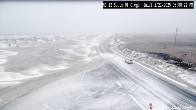
Tuesday’s high tide brings another round of significant ocean overwash; N.C. 12 closed until Wednesday
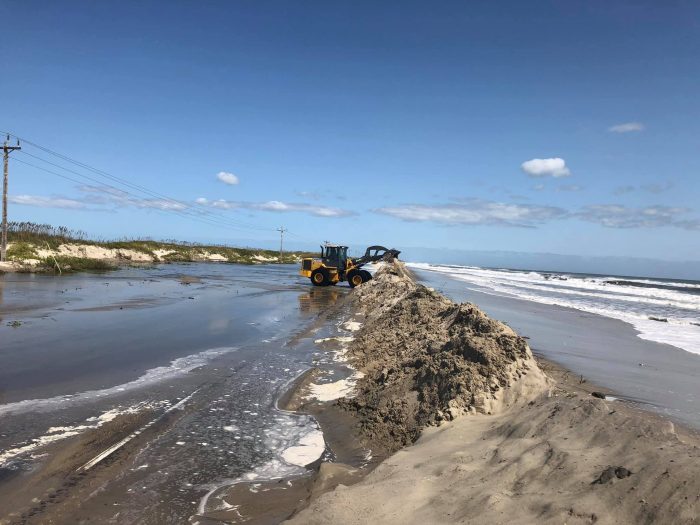
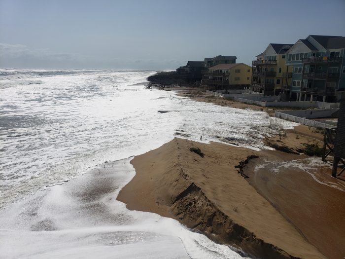
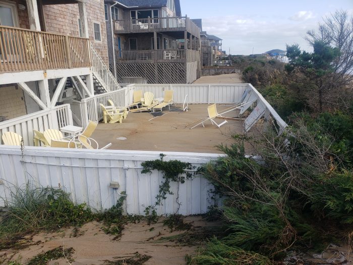
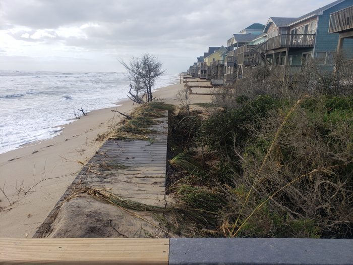
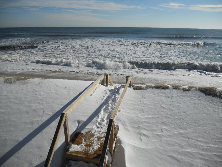
Hatteras and Ocracoke islands were battered with another round of coastal flooding on Tuesday, with ocean overwash occurring several hours before and after the 12:00 p.m. high tide.
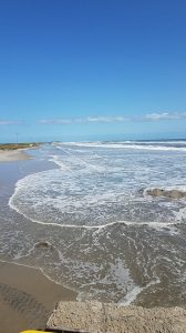
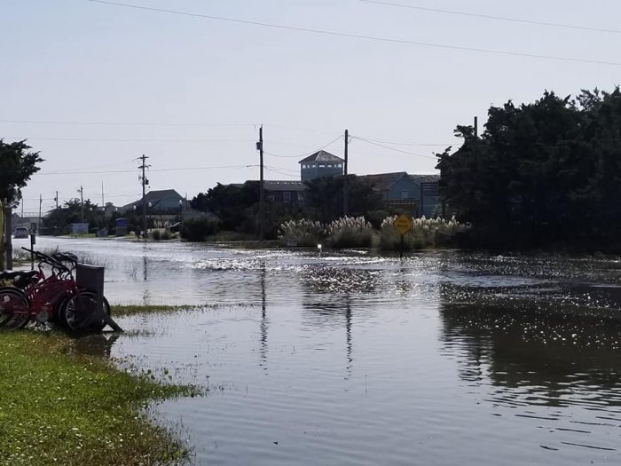
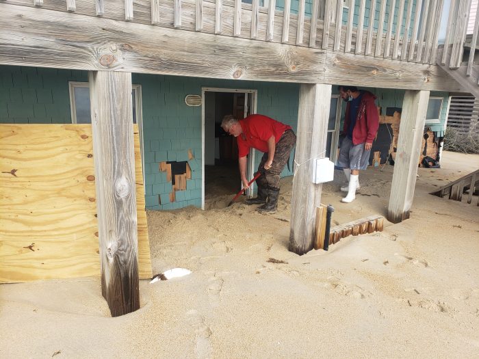
Significant ocean overwash was reported throughout the islands in northern Hatteras village, Buxton, Avon, Rodanthe, Pea Island, and northern Ocracoke Island. Several vehicles became stuck in deep saltwater and sand in northern Buxton, causing Dare County Sheriff’s Office deputies to temporarily halt traffic in Buxton on early Tuesday afternoon.
Travelers are advised to use caution and to avoid driving in these areas if possible, as saltwater can heavily damage vehicles.
Soundside flooding was also reported in Hatteras village and Ocracoke Island, as distant Hurricane Teddy moved north, and further away from the mid-Atlantic coastline.
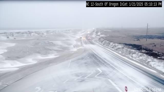
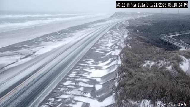
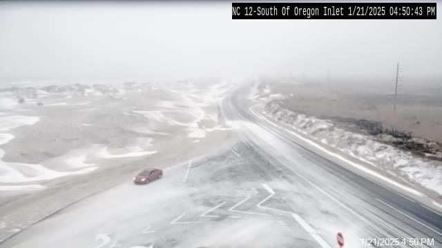
Due to continuing ocean overwash from the recent high tide cycles, the N.C. Department of Transportation (NCDOT) will be unable to reopen the two closed sections of N.C. Highway 12 until Wednesday afternoon.
The sections, which have been closed since Sunday night, are between the Marc Basnight Bridge and Rodanthe on Hatteras Island, and in between the National Park Service Pony Pens and the N.C. Ferry Terminal on Ocracoke Island.
Crews in both locations are continually working to remove several feet of sand from the roadway, caused by the higher-than-usual tides, strong northeast winds, and long-form waves from Hurricane Teddy. NCDOT is now projecting reopening in both locations to occur tomorrow at 2 p.m. Ferry service between Hatteras and Ocracoke will resume once the road is reopened on Ocracoke Island.
Additional coastal flooding is possible with the next high tide cycle at roughly 12:30 a.m. on Wednesday, however, weather conditions are expected to improve within the next 24 hours.
Per the National Weather Service Newport / Morehead City office, a combination of diminishing swell as Teddy gets farther away, winds calming and turning westerly, and the recent astronomical tides not being as high will lead to a slight decrease in the threat for coastal flooding that has been prevalent over the last few days.
For more information on the local forecast, visit www.weather.gov/mhx for weather information, or the National Weather Service office in Newport / Morehead City’s Facebook page at https://www.facebook.com/NWSMoreheadCity/.
For real-time travel information, visit DriveNC.gov or follow NCDOT on social media.
