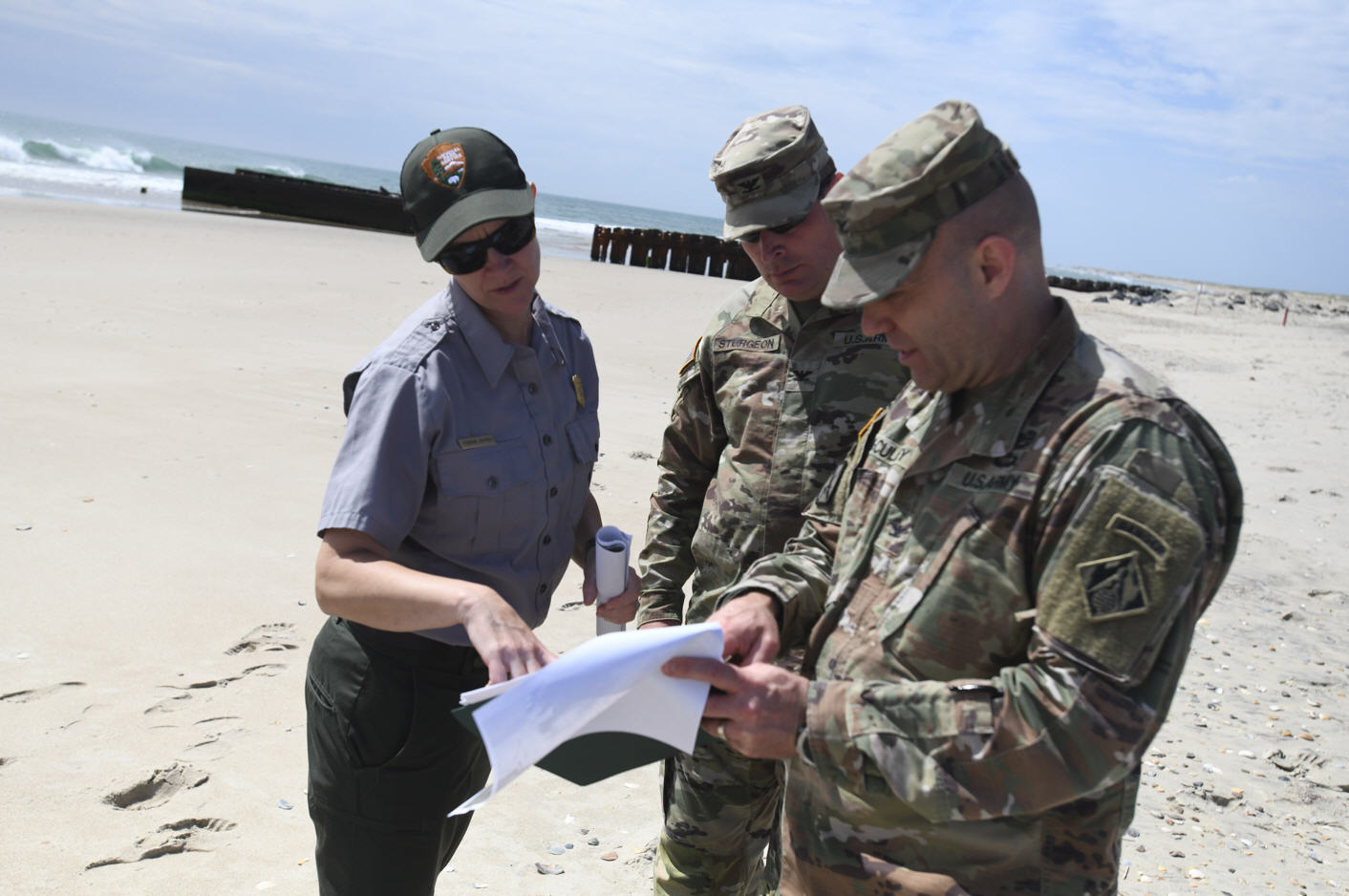
More stormy weather in store for Hatteras and Ocracoke
The unusual combination of weather conditions that brought the stormy weather to Hatteras and Ocracoke this week caused little or no damage on the islands.
However, the record rainfall in areas of mainland North Carolina will bring southern Hatteras and Ocracoke an increased threat of soundside flooding tonight.
And we can look forward to another coastal low pressure system from Saturday night into early next week.
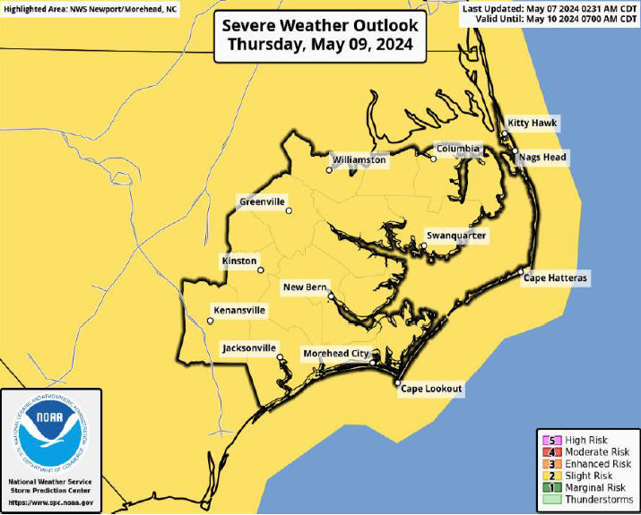
The National Weather Service in Newport, N.C., has issued a coastal flood advisory for southern Hatteras and Ocracoke for tonight.
Record amounts of rainfall that fell over the eastern mainland areas of North Carolina – more than 22 inches in Wilmington and over 20 inches in Craven County – are affecting water levels in the Pamlico Sound.
The heavy rains have drained into creeks and rivers that empty into the sound, and water levels on southern Hatteras have been rising all day. Also, winds will be increasing tonight.
The Weather Service says we can expect water levels of 2 to 3 feet above normal around the time of high tide early Saturday morning. High tide is around 2:30 a.m.
Brian Cullen, senior forecaster at the Weather Service office in Newport, says the good news for Hatteras and Ocracoke will be that winds will be more north to northeast overnight and into the morning. Most of the soundside flooding in this area happens on a northwest wind.
The winds, he said, would not normally cause soundside flooding – except for all that rainfall draining our way.
Tomorrow is expected to be cooler and drier, but another area of low pressure will form Saturday night off the coast of Florida and move slowly north, passing offshore of the islands Sunday and into Monday. Rain is forecast from Sunday into Tuesday.
Cullen says that conditions are not expected to be anywhere near as extreme as the past few days, but there will be a good chance of rain, especially over the Outer Banks, and moderate northeast winds, perhaps approaching gale force.
The rip current risk will remain high, at least through Saturday and perhaps longer, so swimming in the ocean will be dangerous.
Some other highlights from this week’s storm weather:
About six inches of rain was measured at Billy Mitchell Airfield in Frisco from Sunday through Thursday. Most of it fell from Sunday through Tuesday, with smaller amounts on Wednesday and Thursday when the mainland was hammered.
The highest recorded wind gust at the airfield was 60 mph from the south on Thursday evening. Winds blew a sustained 30 to 35 for much of the day Thursday – with gusts over 50.
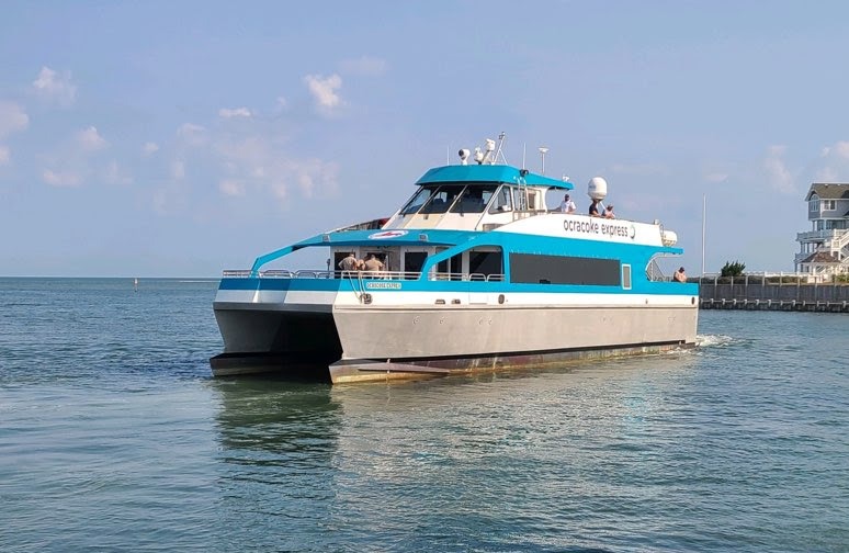
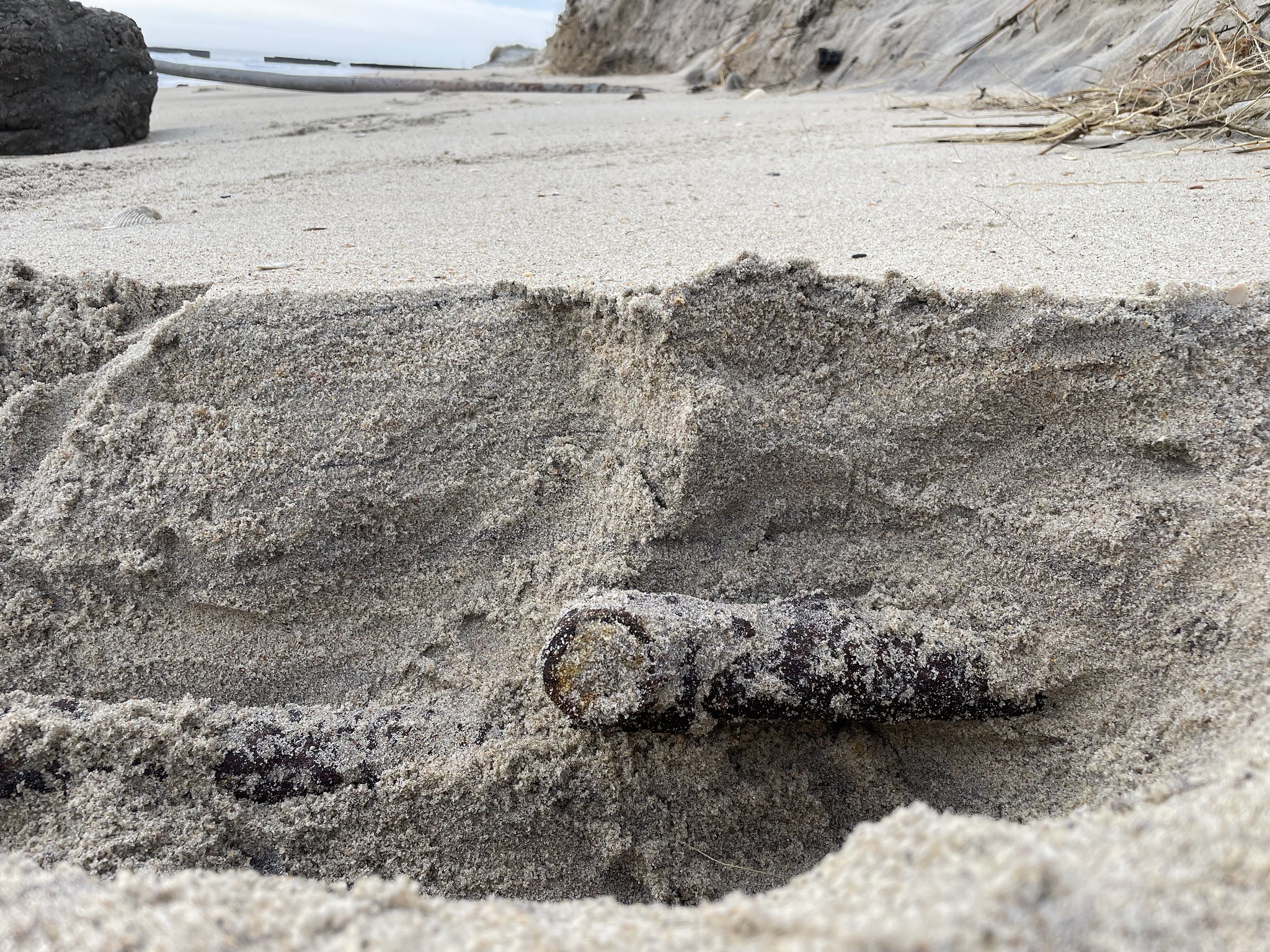
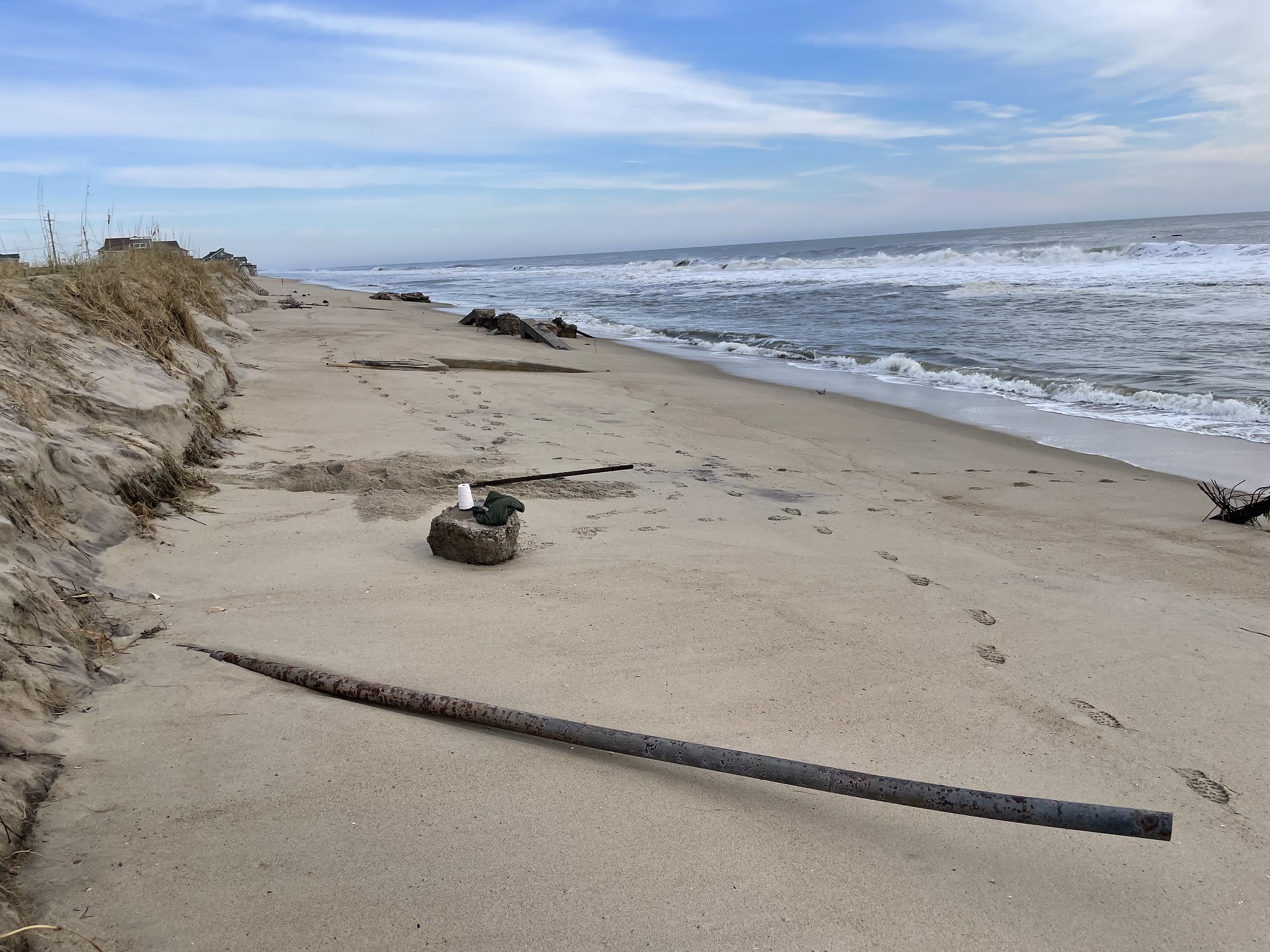
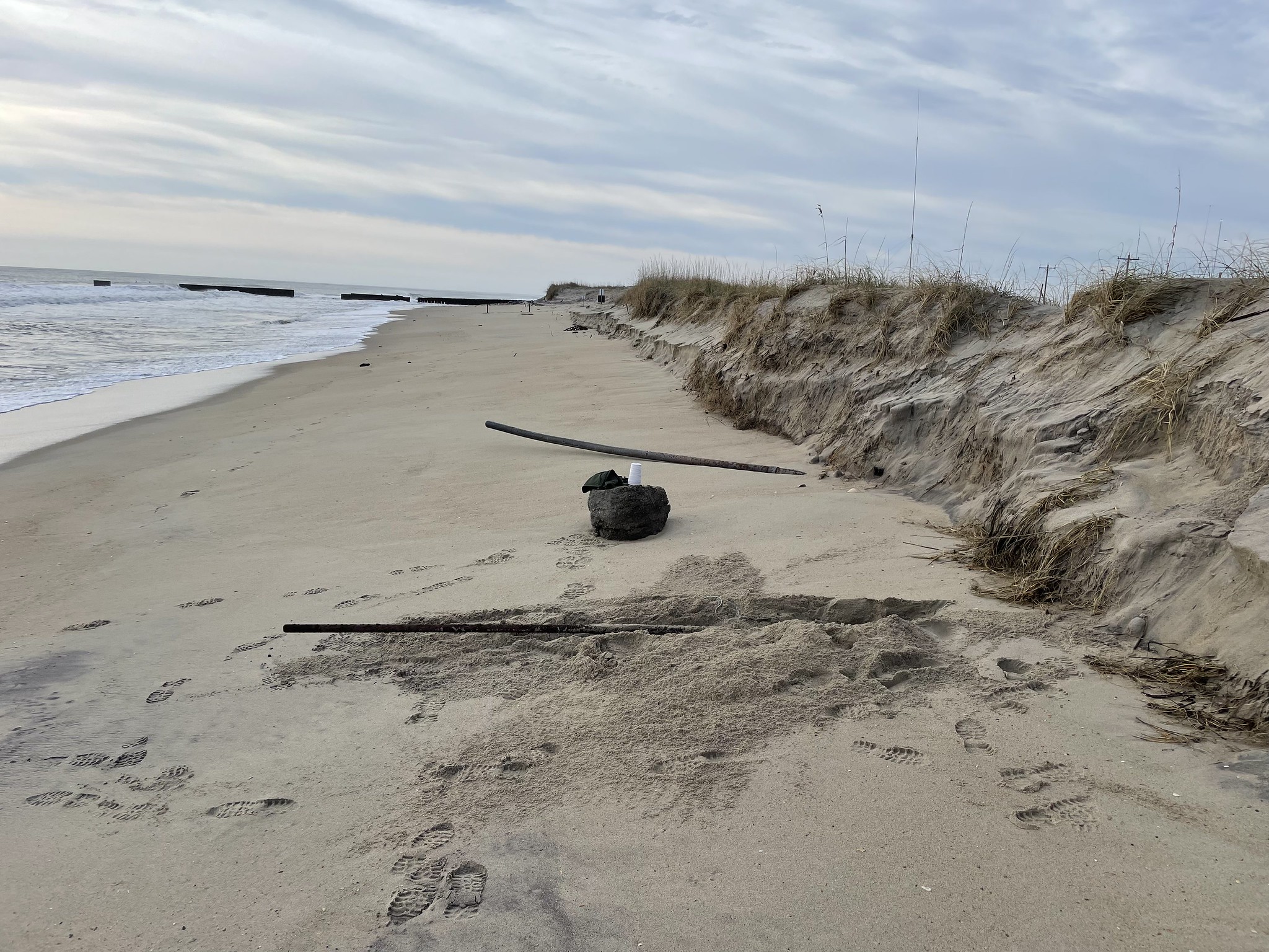
The storm caused additional shoaling in Hatteras Inlet, which has the Hatteras-Ocracoke ferry shut down today and probably tomorrow.
A chartered jet with seven people on board skidded into the Croatan Sound this morning while landing in poor weather at the Dare County Regional Airport. No one was injured.
Rain caused the ponding of water on Highway 12 on the islands, but little or no ocean overwash was reported.
For more information and updates on the forecast, go to http://www.erh.noaa.gov/er/mhx/
The unusual combination of weather conditions that brought the stormy weather to Hatteras and Ocracoke this week caused little or no damage on the islands.
However, the record rainfall in areas of mainland North Carolina will bring southern Hatteras and Ocracoke an increased threat of soundside flooding tonight.
And we can look forward to another coastal low pressure system from Saturday night into early next week.
The National Weather Service in Newport, N.C., has issued a coastal flood advisory for southern Hatteras and Ocracoke for tonight.
Record amounts of rainfall that fell over the eastern mainland areas of North Carolina – more than 22 inches in Wilmington and over 20 inches in Craven County – are affecting water levels in the Pamlico Sound.
The heavy rains have drained into creeks and rivers that empty into the sound, and water levels on southern Hatteras have been rising all day. Also, winds will be increasing tonight.
The Weather Service says we can expect water levels of 2 to 3 feet above normal around the time of high tide early Saturday morning. High tide is around 2:30 a.m.
Brian Cullen, senior forecaster at the Weather Service office in Newport, says the good news for Hatteras and Ocracoke will be that winds will be more north to northeast overnight and into the morning. Most of the soundside flooding in this area happens on a northwest wind.
The winds, he said, would not normally cause soundside flooding – except for all that rainfall draining our way.
Tomorrow is expected to be cooler and drier, but another area of low pressure will form Saturday night off the coast of Florida and move slowly north, passing offshore of the islands Sunday and into Monday. Rain is forecast from Sunday into Tuesday.
Cullen says that conditions are not expected to be anywhere near as extreme as the past few days, but there will be a good chance of rain, especially over the Outer Banks, and moderate northeast winds, perhaps approaching gale force.
The rip current risk will remain high, at least through Saturday and perhaps longer, so swimming in the ocean will be dangerous.
Some other highlights from this week’s storm weather:
About six inches of rain was measured at Billy Mitchell Airfield in Frisco from Sunday through Thursday. Most of it fell from Sunday through Tuesday, with smaller amounts on Wednesday and Thursday when the mainland was hammered.
The highest recorded wind gust at the airfield was 60 mph from the south on Thursday evening. Winds blew a sustained 30 to 35 for much of the day Thursday – with gusts over 50.
The storm caused additional shoaling in Hatteras Inlet, which has the Hatteras-Ocracoke ferry shut down today and probably tomorrow.
A chartered jet with seven people on board skidded into the Croatan Sound this morning while landing in poor weather at the Dare County Regional Airport. No one was injured.
Rain caused the ponding of water on Highway 12 on the islands, but little or no ocean overwash was reported.
For more information and updates on the forecast, go to http://www.erh.noaa.gov/er/mhx/
Subject
Name
(required, will not be published)
(required, will not be published)
City :
State :
Your Comments:
May be posted on the Letters to the Editor page at the discretion of the editor.
May be posted on the Letters to the Editor page at the discretion of the editor.
May be posted on the Letters to the Editor page at the discretion of the editor.
May be posted on the Letters to the Editor page at the discretion of the editor.