DOT struggling with Highway 12 repairs at the S-curves; more ferries added for holiday …..WITH SLIDE SHOW
North Carolina Department of Transportation crews have fought a losing battle trying to repair Highway 12 at the S-curves after Hurricane Sandy tore up the roadbed, leveled the dunes, and damaged the sandbags in the area almost two weeks ago.
“Much of the right-of-way is in the ocean,” Jerry Jennings, District 1 engineer, told reporters today in a conference call.
DOT has built a four-wheel-drive bypass to the west of the damaged highway, but has struggled to keep that open as punishing high tide after high tide sends water pouring over the road.
Right now, the four-wheel-drive access is open “intermittently,” which means mostly at low tide, after DOT crews clean the sand and water from the high tide off the road.
However, with another northeaster forecast to develop tomorrow, move up the coast Sunday into next week, and keep moderate to strong northeast and north winds whipping up the ocean through the middle of next week, Jennings said it is possible that eventually DOT will not be able to keep the route open even at low tide.
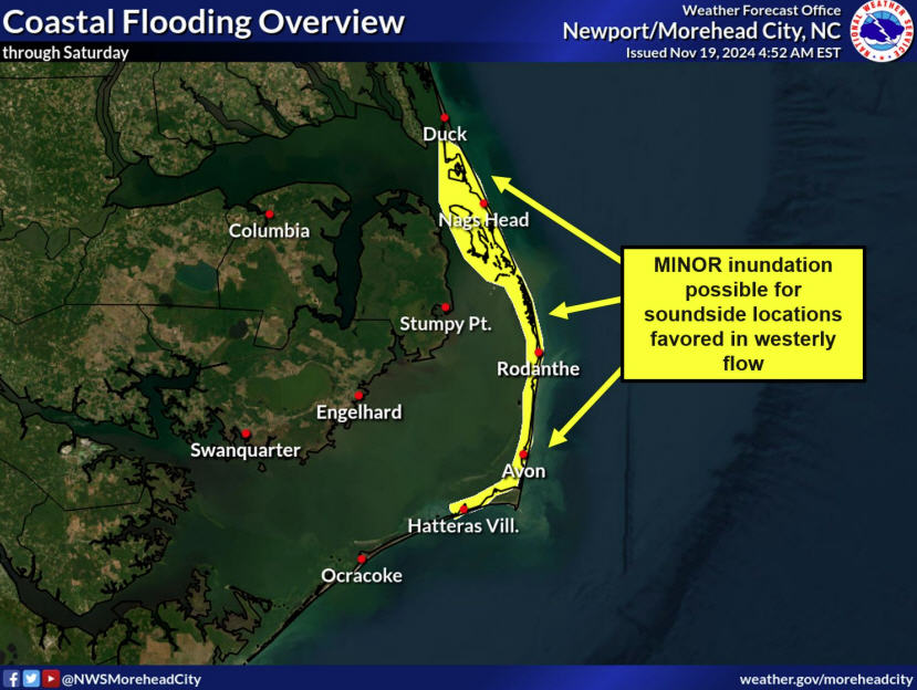
The National Weather Service at Newport, N.C., has issued a coastal flood advisory, which is now in effect until 7 p.m. Tuesday.
Winds of 25-knot plus are expected into early next week along with higher than normal tide levels and ocean overwash. There could also be heavy rain at times at low pressure areas move along coast.
After Sandy brushed by the coast, DOT had said it hoped to open Highway 12 to all traffic by Thanksgiving. However, the bad weather and high seas, he said, have made that goal impossible.
Very little progress has been made on the road, dunes, or sandbags, Jennings said. When the seas calm down, perhaps later next week, he said that progress will depend on “how much room we have to work with.”
It is possible, he said, that the Highway at the S-curves could be repaired with dunes and new sandbags in place in two to three weeks, which was the original estimate after the storm.
However, Jennings was cautious about setting another estimate on opening the highway to all traffic until the amount of beach erosion can be determined when the storms pass by.
He also said that the highway was moved as far west in the right-of-way that it can be moved after Hurricane Earl in 2010.
Jennings had a more upbeat report on the rest of Highway 12 north of the S-curves and the Bonner Bridge and repair work in those areas should be completed within a week or so.
At the Bonner Bridge, he said repairs were to be completed today on cables on the stretch of the bridge that was damaged by a runaway barge in 1990. The problem with the cables surfaced in a post-storm inspection.
Then the area of decking will have to be repaved, but one way traffic will be maintained for vehicles traveling the four-wheel-drive route.
The temporary bridge at Pea Island Inlet, opened last year by Hurricane Irene, fared well in the storm, but there was erosion and damage to both approaches to the bridge. Both approaches have now been restructured with only installing guardrails remaining.
The highway through Pea Island National Wildlife Refuge was covered by many feet of sand from the flattened dunes. Jennings reported that the sand has been cleared and the only dune construction not completed can be done out of the Highway 12 right-of-way.
The thought of not having the highway opened – except intermittently for four-wheel-drives – during the busy Thanksgiving holidays has rental management companies and business owners concerned.
Historically, Thanksgiving week has attracted crowds of visitors and off-island property owners to enjoy the beach and do some Christmas shopping. Black Friday is also important to the shops on Hatteras and Ocracoke.
Getting to the islands will be a challenge.
However, Jed Dixon, deputy director of DOT’s Ferry Division, said sound ferries have been added between Ocracoke and the mainland and there is a stand-by ferry at the emergency route between Stumpy Point and Rodanthe and on the Hatteras-Ocracoke route, where ferries are running only every two hours instead of on the hour.
Ferry schedules including the runs added on the Swan Quarter-Ocracoke route for all of next week are at the end of this article.
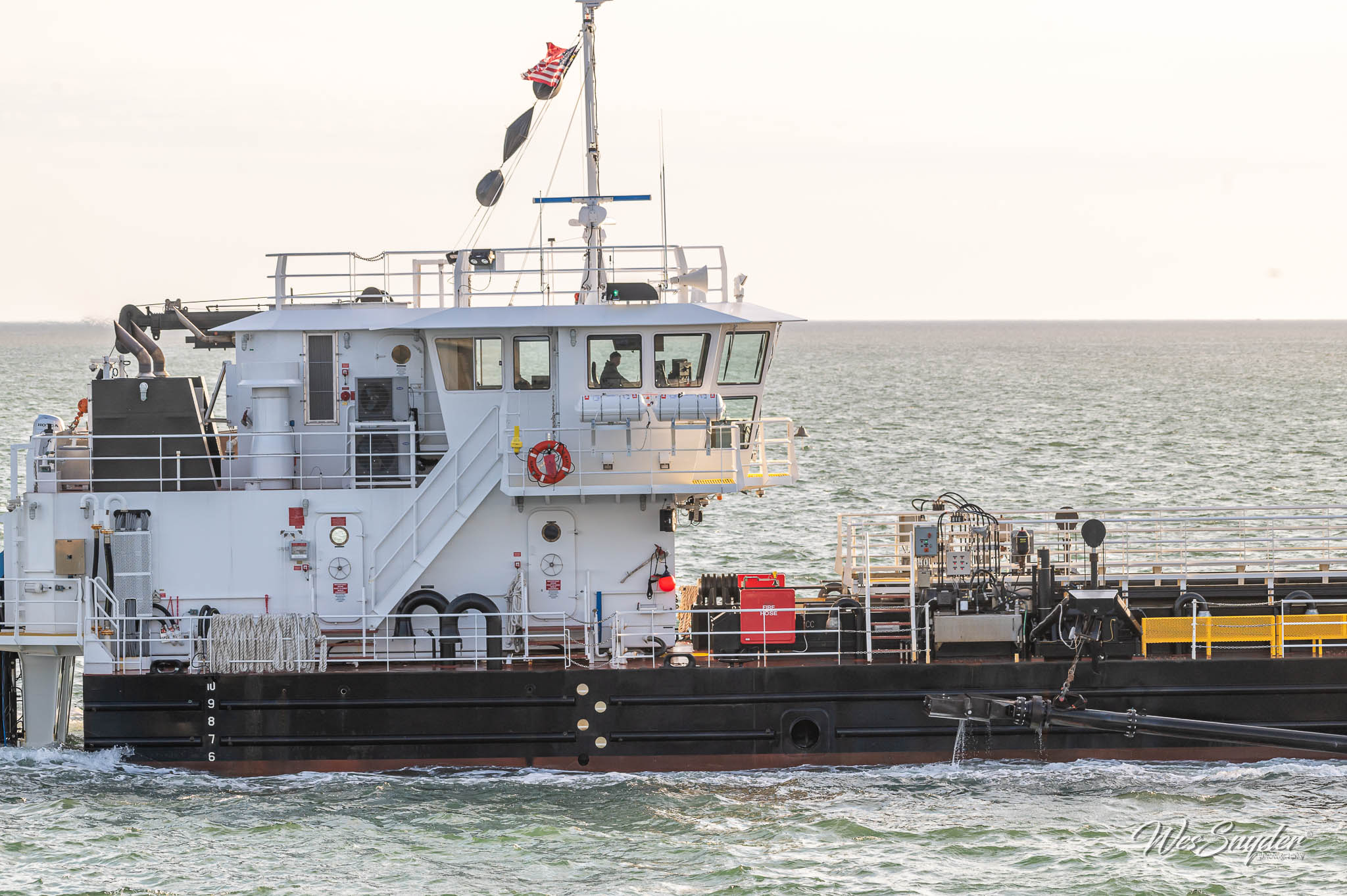
Dixon also said that the U.S. Army Corps of Engineers sidecaster dredge Merritt will be at the Rodanthe ferry channel for seven to 10 days to try to increase the water depth there. With shoaling, the channel is now about 5 to 6 feet deep, he said, and the ferries draw five feet of water.
He also noted that the strong northeast winds could interfere with ferry operations.
“Depending on how hard it blows, we could reach a water level where we couldn’t operate,” Dixon said, adding that the northeast wind blows the water out of the sound near Rodanthe.
Dixon said he expects that the ferries will be very busy this weekend, especially when the four-wheel-drive route is not open.
Also, Susan Flythe, vice-president and general manager of the Cape Hatteras Electric Cooperative, said today that the transmission poles at the S-curves that were threatened earlier in the week have been stabilized.
Forty-some sandbags she said are diverting overwash around the poles for now.
Eventually, she added, there will have to be repairs, but the cooperative is hoping to delay them until DOT announces, perhaps in January, what its long-term solution to the highway problems at the S-curves will be.
Four-wheel-drive route information
Only four-wheel drives vehicles are permitted on the route. There are checkpoints north of the Bonner Bridge and in Mirlo Beach in Rodanthe.
When weather conditions are not causing closures, the four-wheel drive route is scheduled to be open from 5 a.m. to 10 p.m. Because of hazardous driving conditions, Dare County first responders will escort drivers before dawn and after dusk when the road is accessible to traffic.
The route may well be closed around the times of high tide. To find out road conditions on the route and on Hatteras, click on the flashing yellow icon at the top of the Island Free Press Front Page.
NCDOT asks motorists to follow these important safety measures on the four-wheel drive access
Only drive four-wheel drive vehicles with a high ground clearance. Cross-over four-wheel drive vehicles that are lower to the ground may get stuck in the rugged terrain;
If you drive at night, use extreme caution. There will be no lights staged along the route, so your vehicle’s headlights will offer the only way for you to see;
Drive slowly;
Pay close attention to the temporary traffic signals and
All four-wheel drive vehicles are encouraged to lower tire pressure to minimize the chances of becoming stuck.
Emergency ferry schedule
The emergency ferry is open to everyone, including visitors.
Those wishing to use the emergency route are reminded to expect waits and to be patient, as priority status is still in effect. Repair and supply trucks have priority at all times. Dare County residents have priority Monday through Friday.
The waits have been long – hours at times — on the emergency ferry, which takes at least two hours to cross the sound. You are advised to arrive early and be patient. You might also consider bring water, coffee, soft drinks, and snacks.
The Stumpy Point-Rodanthe schedule is:
Departing Stumpy Point: 6 a.m, 8 a.m. 10 a.m., 12 noon, 2 p.m., 4 p.m., 6 p.m., 8 p.m., and 10 p.m.
Departing Rodanthe: 7 a.m., 9 a.m., 11 a.m., 1 p.m., 3 p.m., 5 p.m, 7 p.m., 9 p.m., 11 p.m.
Ferry information is available by calling 800-293-3779 (BY-FERRY) and pressing 1, or via Twitter at www.twitter.com/ncdot_ferry.
Directions to the Stumpy Point Emergency Ferry Dock at 100 Log Storage Road, off Highway 264: Take Highway 64 to Highway 264. Follow Highway 264 approximately 13 miles past the entrance to the village of Stumpy Point. Signs for emergency ferry service are posted to ferry entrance that will be on your left.
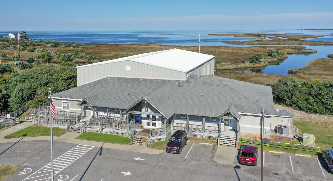
Directions to the Rodanthe Emergency Ferry Dock at 23170 Myrna Peters Road, Rodanthe: Turn west off Highway 12 onto Myrna Peters Road, which is located just north of the Community Building in Rodanthe.
Hatteras-Ocracoke ferry schedule
Visitors can now enter Hatteras Island via the Hatteras Inlet ferry. The ferry is still running every two hours.
The Hatteras-Ocracoke schedule is:
Departing Hatteras at 6 a.m., 8, 10, noon, 2 p.m., 4, 6, 8, 10 and midnight; and
Departing Ocracoke at 5 a.m., 7, 9, 11, 1 p.m., 3, 5, 7, 9 and 11.
For visitors wishing to come to Hatteras through Ocracoke, keep in mind that travel from Cedar Island to Ocracoke and Swan Quarter to Ocracoke requires a reservation by calling 1-800-293-3779.
Swan Quarter and Cedar Island ferries
The ferries from Swan Quarter and Cedar Island require a reservation.
Many of the Thanksgiving week ferries are already booked, but the Ferry Division has added three more days of extra departures from each side on its Swan Quarter-Ocracoke route, to assist with Thanksgiving traffic. In addition to Nov. 21-25, travelers can now book the additional departures Monday, Nov. 19; Tues., Nov. 20, and Mon., Nov. 26.
The additional departures include:
Departing Swan Quarter at 7 a.m. and 1 p.m.; and
Departing Ocracoke at 10 a.m. and 4 p.m.
As a reminder, the regular fall schedule on the Pamlico Sound is:
Departing Cedar Island and Ocracoke at 7:30 a.m., 10, 1 p.m. and 4;
Departing Swan Quarter at 10 a.m. and 4 p.m.; and
Departing Ocracoke to Swan Quarter at 7 a.m. and 12:30 p.m.
These same extra departures will continue to be offered on weekends as well, until Highway 12 reopens north of Rodanthe and the emergency ferry route is deactivated.
Ferry reservations can be made online at www.ncferry.org or by calling 800-293-3779 (BY-FERRY) and pressing 2. Ferry information is available via Twitter at www.twitter.com/ncdot_ferry.
For schedules and reservations on the ferries from the mainland to Ocracoke, go to the N.C. Ferry Division website at http://www.ncdot.gov/ferry/. The Ferry Division has been adding extra departures to and from Swan Quarter on the weekends.
CLICK HERE TO VIEW SLIDE SHOW


