Hurricane Forum Focuses on Storm Surge, Online Forecasting Tools, and Preparation
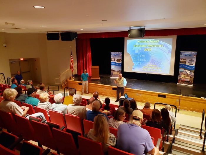
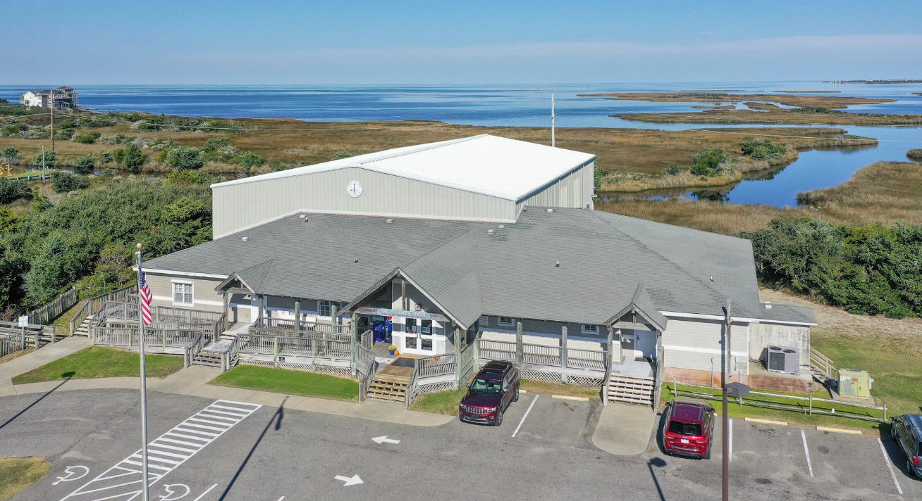
Representatives from the National Weather Service (NWS) and Dare County came together on Tuesday evening to discuss hurricane preparation steps and online forecasting tools at a Hurricane Community Forum held in Buxton. The community forum, which attracted a solid crowd of roughly 40 attendees, was an opportunity for NWS to share hurricane information, as well as answer questions from island residents who are regularly impacted by coastal storms.
Meteorologist Carl Barnes of the NWS Newport / Morehead City office led the presentation, which touched on a number of topics but focused on the importance of paying attention to flooding and storm surge impacts, as opposed to the category of the storm.
“I won’t say which one, but we stopped at a tackle store on the way here, and the people there told us what category of storm they evacuated for,” said Barnes. “It was hard to hear… If you’re deciding not to evacuate based on that category number – [which gauges] the wind – you’re missing a huge portion of the threat.”
“That’s like reading the first page of a book and thinking you know how it ends.”
The importance of focusing on storm surge and flooding as opposed to the category of the storm was reiterated several times during the presentation, with Barnes noting that half of all storm-related fatalities in the past 50 years were related to storm surge, and 25% of all fatalities were because of rain flooding. “That’s 75% of all fatalities related to water – not wind,” he said.
He also stated that in the past few years, all storm fatalities were related to water, and outlined several examples of when a lower category storm caused significant damage – such as Tropical Storm Michael and Hurricane Irene in 2011. “It’s not about the category – it’s about the impacts,” he said. “I know this isn’t a crowd I have to convince tonight, but a little reiteration never hurts.”
Barnes also touched on the relatively new and interactive storm surge / flooding maps, which were introduced during Hurricane Arthur in 2014, and which have been revised and upgraded in the years since to provide more accurate details on the threat of flooding by neighborhood.
“These graphics show what to prepare for,” said Barnes. “If two feet of flooding is likely, we might say there could be 3-4 feet, because the slightest deviation can change everything.”
“There is a lot of localization in these maps, and they are very accurate,” said Dare County Emergency Manager Drew Pearson. “This is a very good product.”
One attendee asked about how to address variations by village, noting as an example that there have been several instances where Hatteras village would experience destructive impacts from a storm, while northern villages were relatively untouched.
“The differentiation varies from storm to storm, and can depend on rain band location, wind direction, [and other factors]” said Barnes. “We have a neighborhood level on the storm surge maps… It’s very challenging to nail down these localities, but we’re trying to help give you what you need on localized impacts, and every year we’re getting better.”
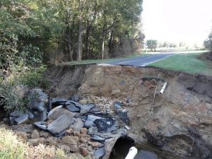
Barnes also discussed the importance of avoiding flooded roads, using a road in Hookerton, N.C. during Matthew as an example. In before and after images, the road appeared flooded during the storm, but once the water receded, it was evident that the road had been washed away, leaving a deep hole behind. “Turn around – don’t drown,” said Barnes. “You never know if the road is still there under the water.”
Emergency Director Drew Pearson also addressed the crowd, stressing the importance of creating an evacuation plan now, before any storms were on the horizon. In his presentation, he outlined seven steps of creating a preparation plan, which included determining where to go, securing an insurance check-up, and assembling disaster supplies well in advance.
He also shared several tips with attendees, which included contacting Dare County Social Services in advance if a resident had special needs, or was aware of someone who would require extra assistance during the storm. “There’s a great community here – everyone helps each other – so make sure they are registered,” he said. “Social Services reaches out to [special needs residents] before a storm.”
He also stressed the importance of knowing valuable sources for information, touching on the ReadyNC app which provides a wealth of storm-related info, as well as the relatively new flood gauges which are stationed throughout the island, and which record flooding in real-time during a storm. “We are working diligently to get the state to put more in,” he said.
Finally, Pearson outlined other tools available for all sorts of emergency scenarios, and specifically the Dare County Emergency Management’s new alerts system. By signing up for text, email, or over-the-phone alerts, the public is notified of any time-sensitive and essential information during an emergency.
Covering a wide range of topics, the forum provided some established and new information for the seasoned attendees, who shared their own experiences with past storms, evacuations, and other emergency situations. The forum was one of two held on the Outer Banks – with the first forum held in Kill Devil Hills on July 8 – and Pearson and the NWS representatives were grateful for the large crowd, noting that the island’s participation “blew the attendance at the Kill Devil Hills forum out of the water.”
For more information on Dare County’s Emergency Alert System, visit https://www.darenc.com/departments/emergency-management/emergency-alerts.
For more information on hurricane preparation steps as recommended by Dare County, visit https://www.darenc.com/departments/emergency-management/before-an-emergency.


