High rip current risk continues on Sunday as Henri heads north
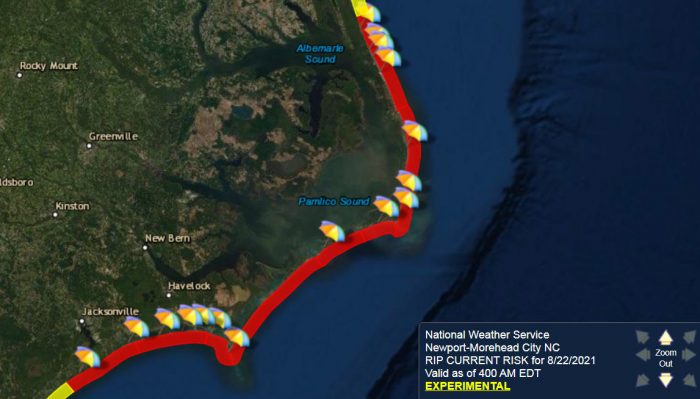
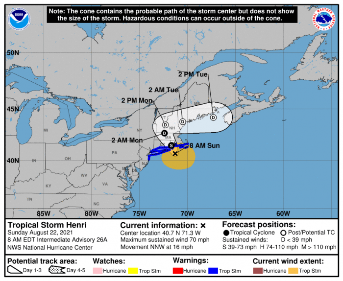
A high risk of rip currents will continue on Sunday as Tropical Storm Henri moves towards New York and southern New England, per a recent update from the National Weather Service.
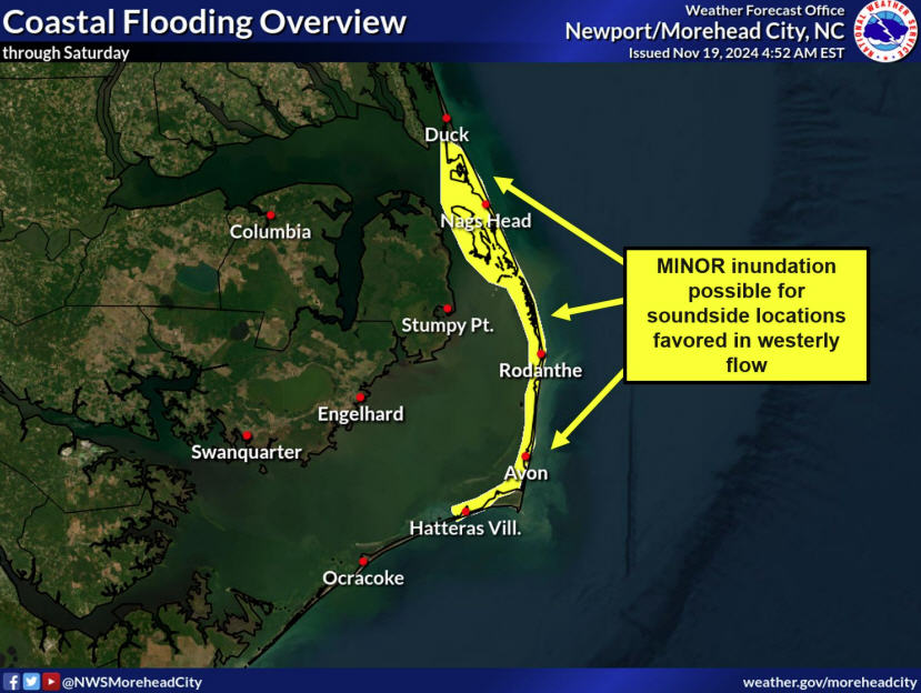
A high rip current risk is in place for all beaches on Hatteras and Ocracoke Islands. A high risk of rip currents means that the surf zone is dangerous for all levels of swimmers, and folks are advised to stay out of the water.
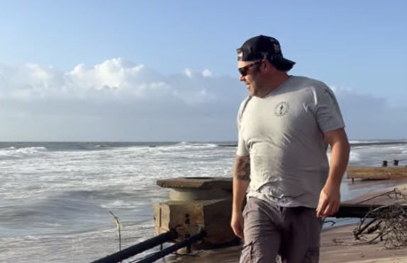
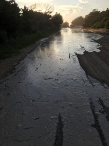
Minor shoreline erosion was reported at several beaches on the Outer Banks, and particularly along the 4WD-accessible Pole Road in Hatteras village. Beach drivers are advised to use caution.
As of 9:00 a.m. on Sunday, the center of Tropical Storm Henri was located approximately 40 miles SSE of Montauk Point, New York. Henri was moving toward the north-northwest near 16 mph (26 km/h). A north-northwestward motion with a decrease in forward speed is expected this morning, and Henri is forecast to make landfall in southern New England or on Long Island later this morning or early this afternoon. After landfall, a turn back toward the north and an even slower forward speed are expected as Henri moves over southern New England.
Maximum sustained winds are near 70 mph (110 km/h) with higher gusts. Some slight weakening will be possible this morning, but Henri is still forecast to be a strong tropical storm when it reaches the coasts of southern New England and Long Island. Rapid weakening is expected after Henri makes landfall.
For more information, visit weather.gov/morehead for your local forecast, weather.gov/mhx/tropical for the latest on Henri, and weather.gov/beach/mhx for the rip current forecast.
