Transportation design with resilience in mind goal of effort
Roadway flooding can happen year-round, but increasingly extreme weather most scientists attribute to climate change has made the vulnerability of coastal roads a clearer and more pressing problem.
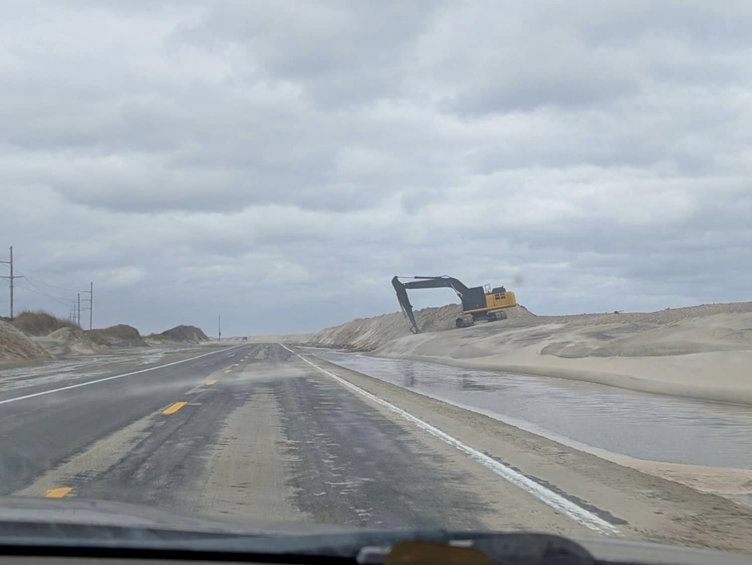
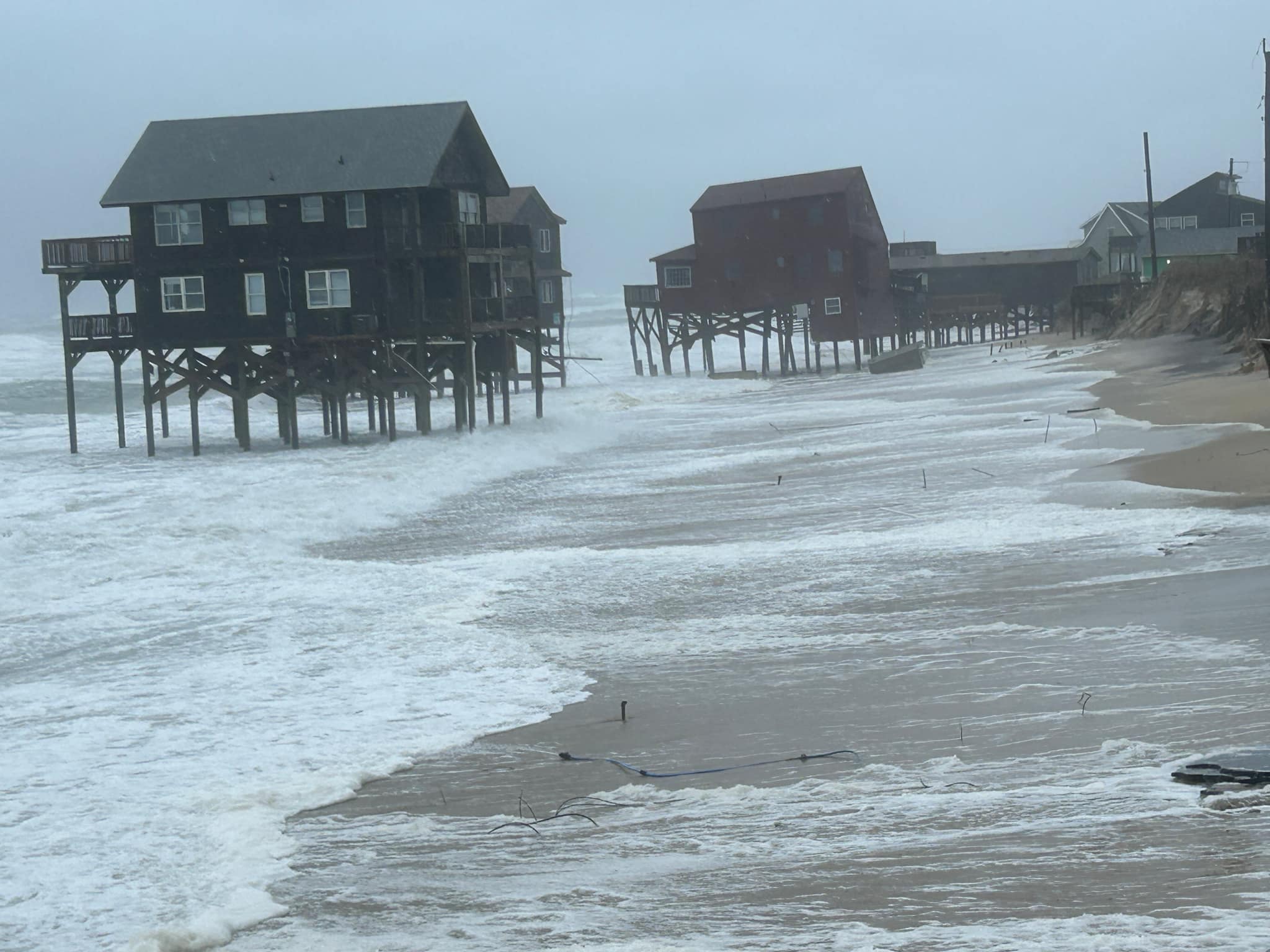
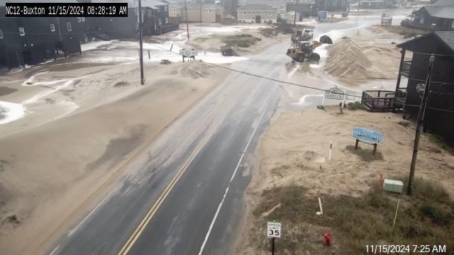
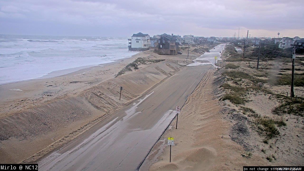
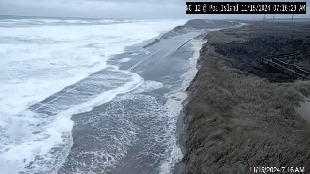
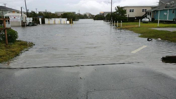
Tim Hass, communications officer for the North Carolina Department of Transportation’s Division 1, which covers the northeastern part of the state and the Outer Banks, recently told Coastal Review that there are two types of flooding events along the coast: rainwater flooding and tidal flooding, or overwash.
“For rainwater flooding, picture a kitchen sink that holds 4 gallons of water. If you have a bucket that holds 8 gallons of water and you dump it into the sink all at once, there will be spillage. That’s what happens when we get a large amount of rain in a very short period of time, like some locations experienced earlier in June,” Hass explained earlier this summer.
“Of course, drainage also plays a part in that equation, and NCDOT is always working to make sure that the drainage ditches along the side of state-maintained roads are maintained and unobstructed. That certainly helps, but as in the sink metaphor, if the rain comes fast enough, some flooding will occur, no matter how well the area drains,” he added.
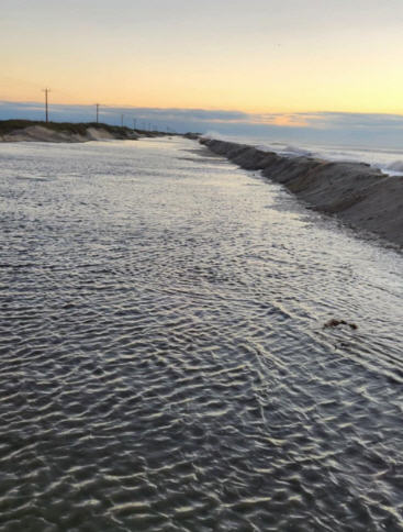
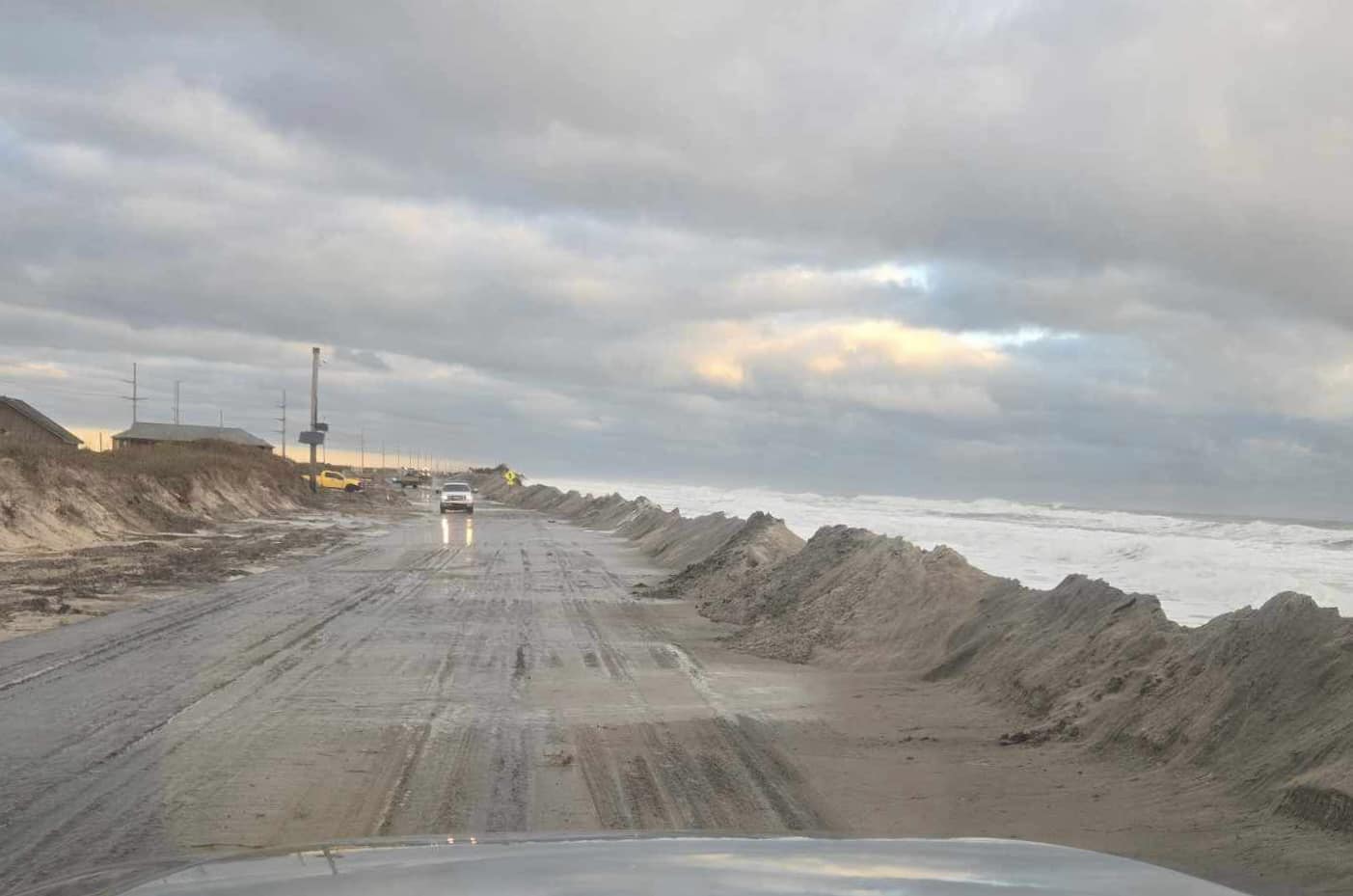
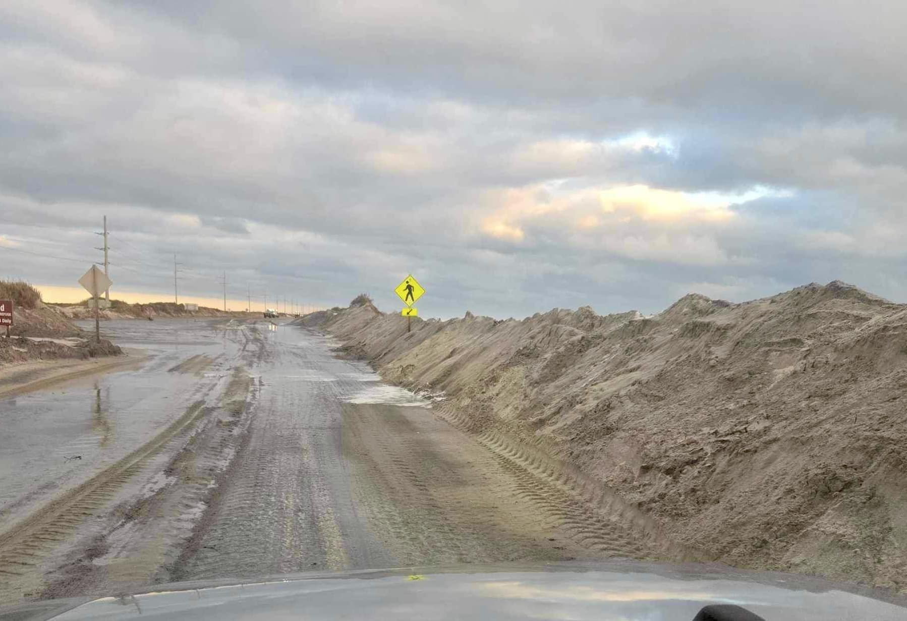
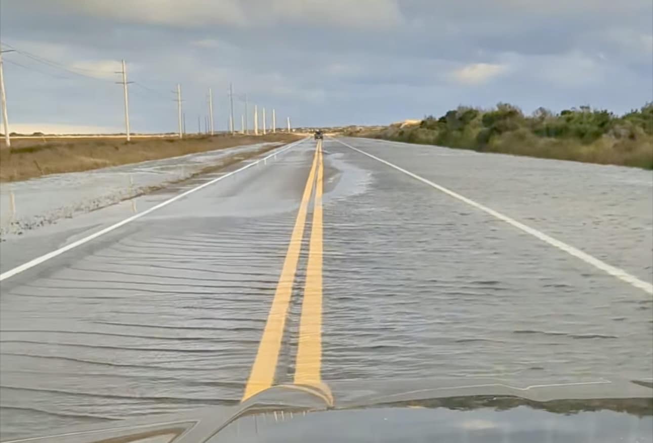
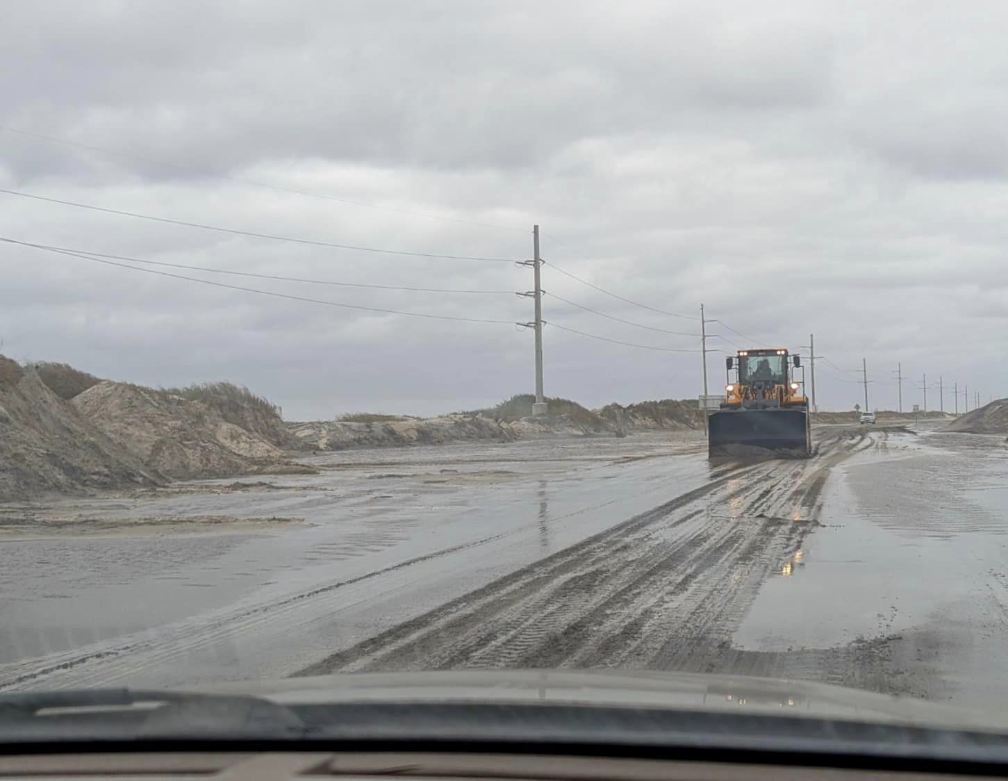
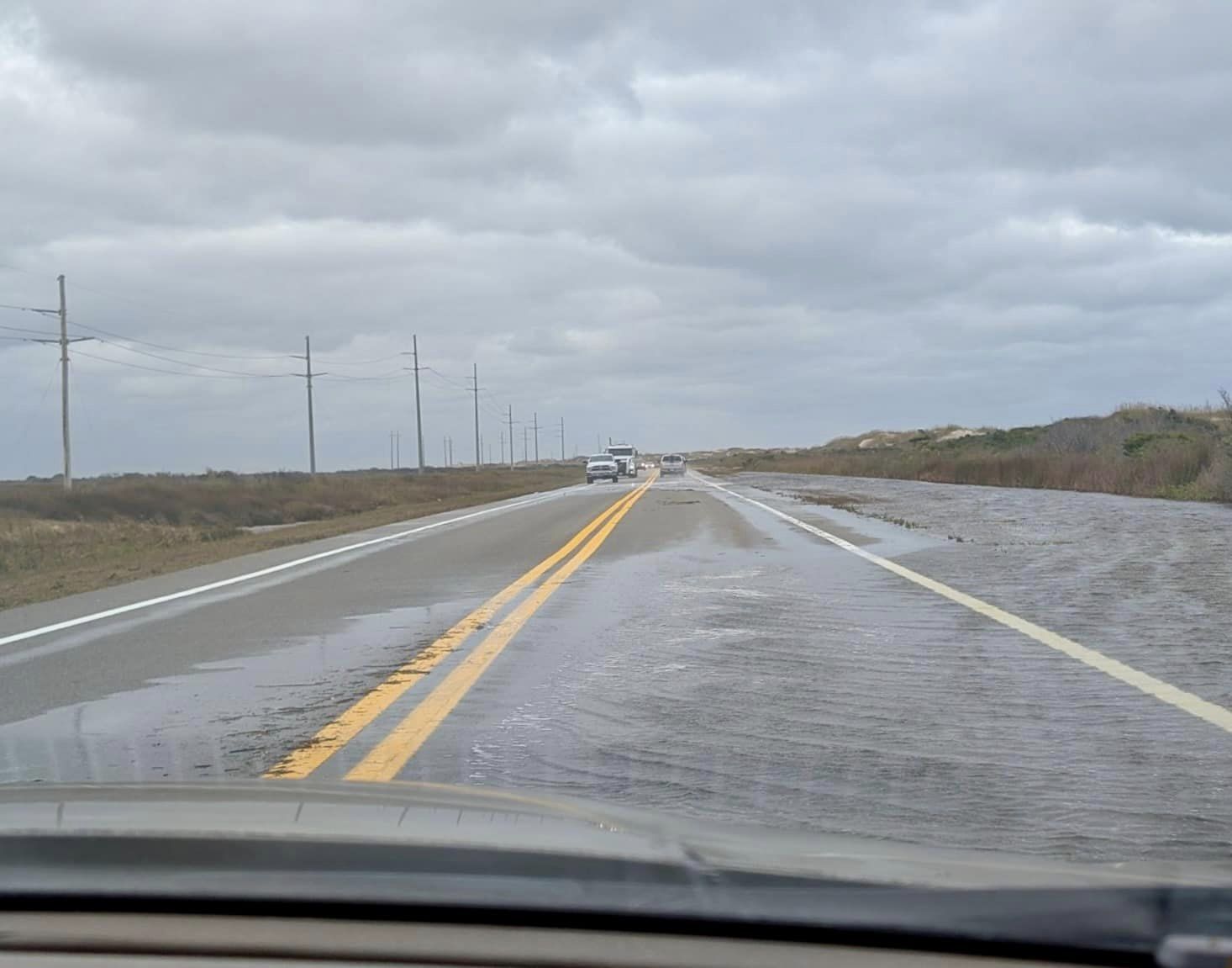
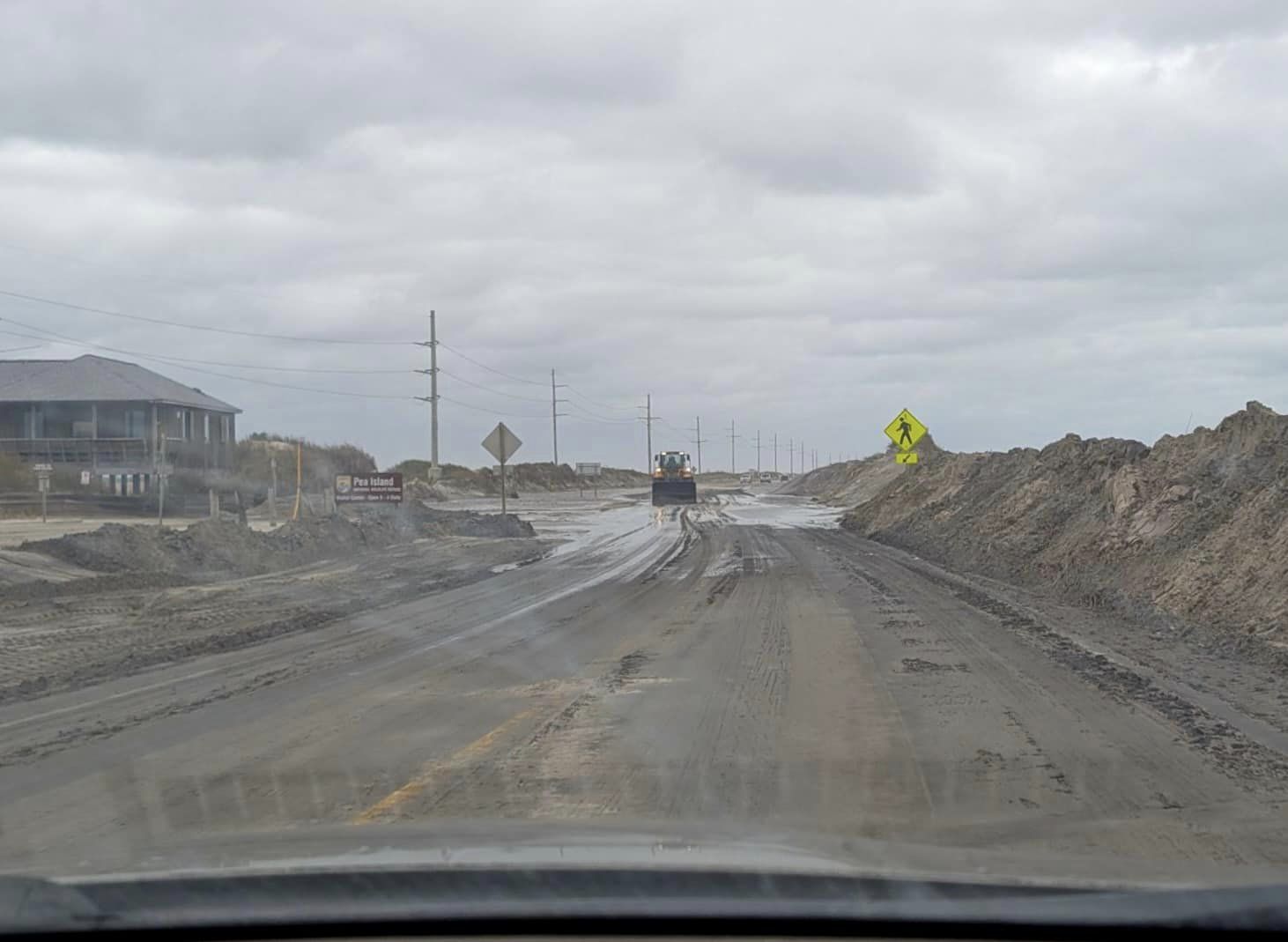
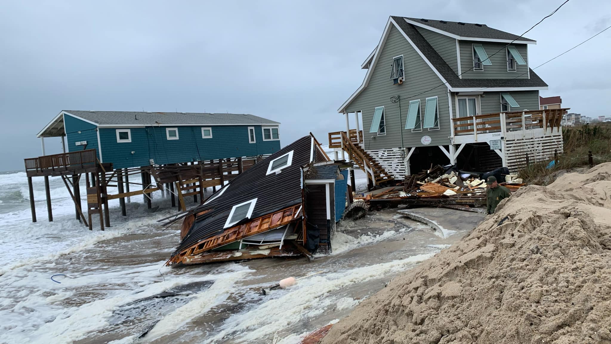
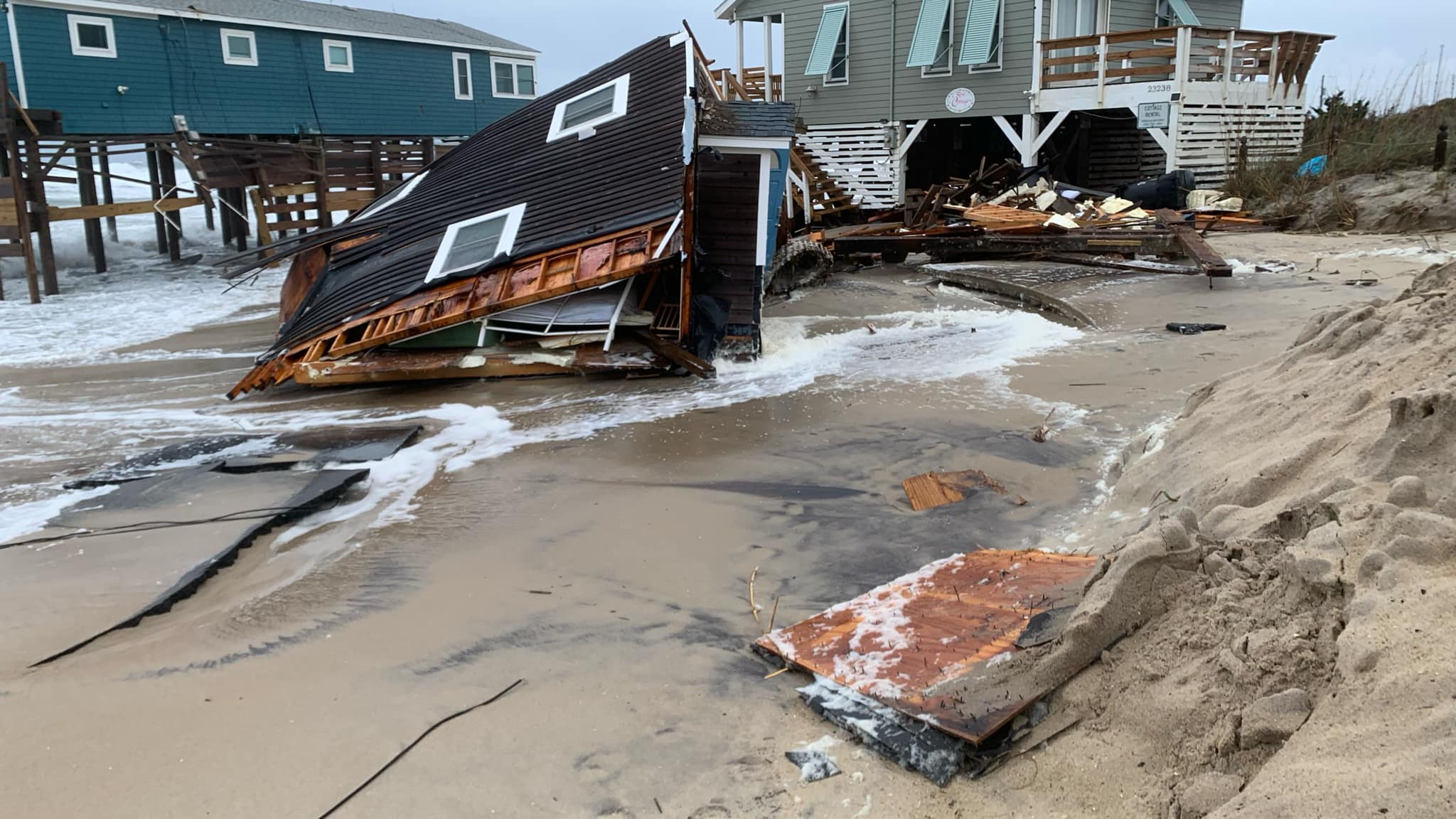
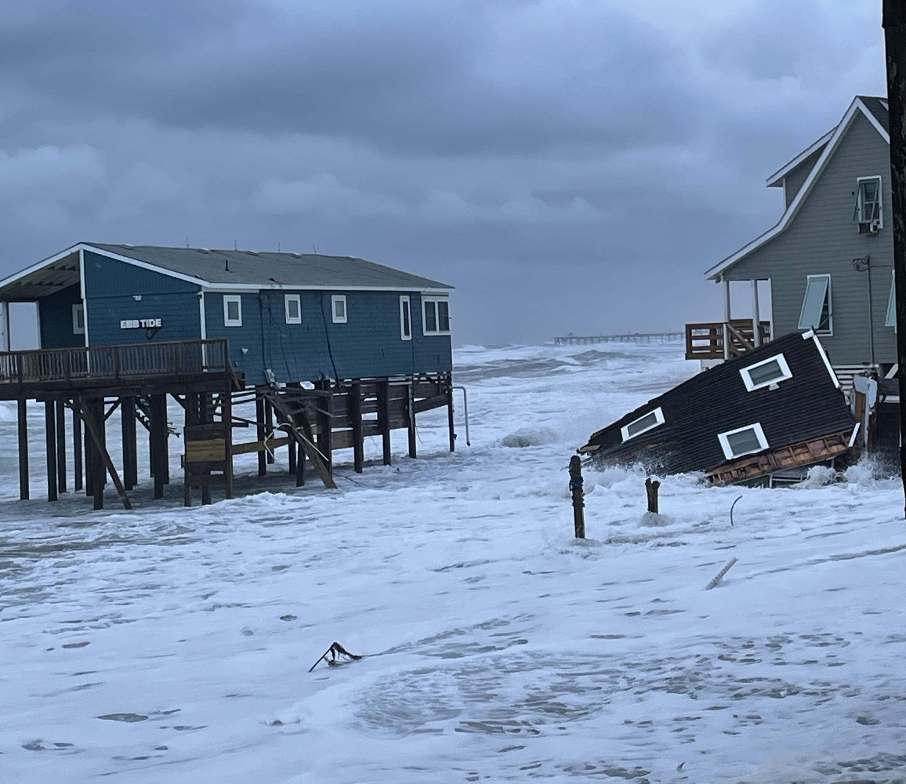
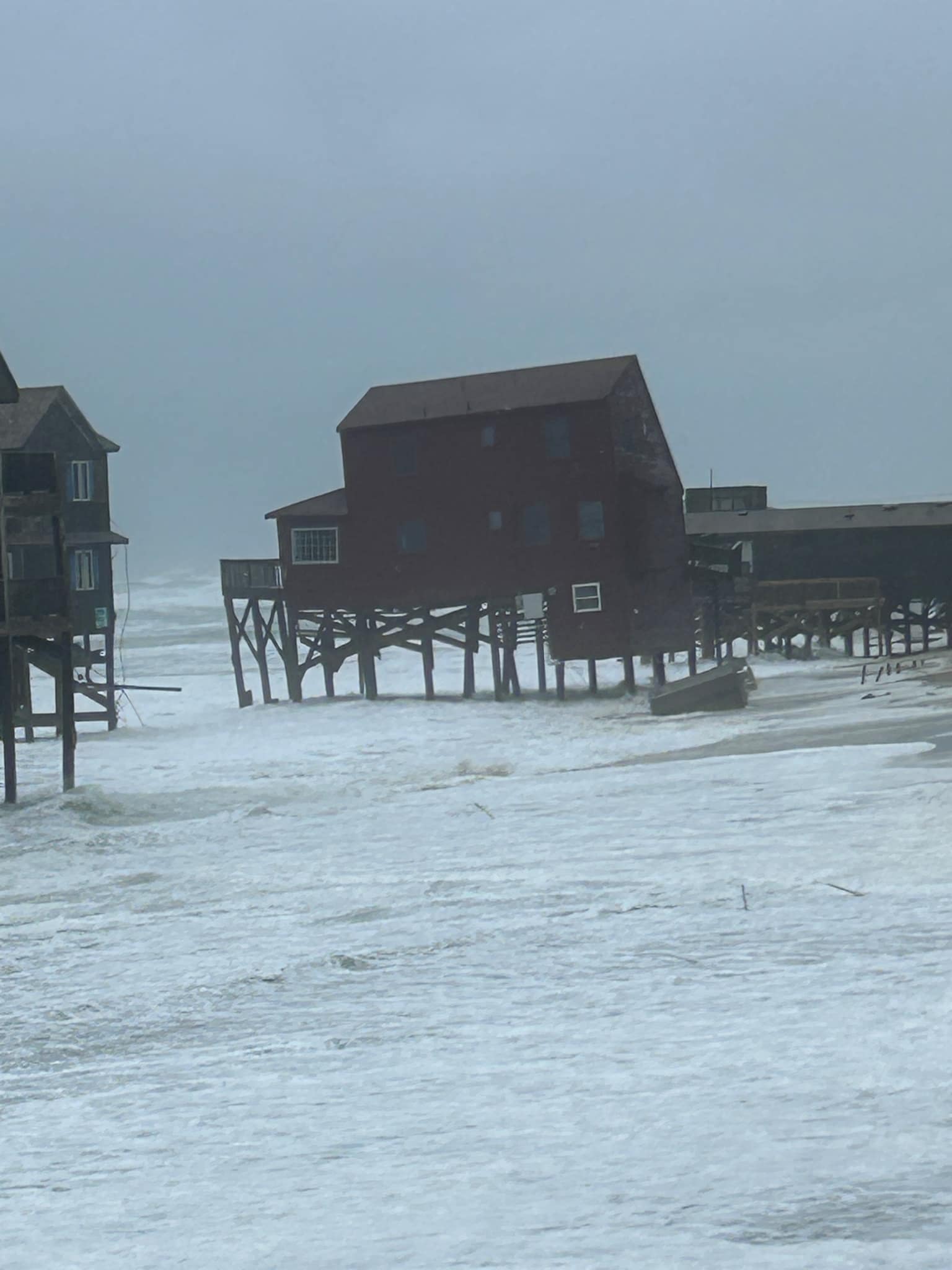
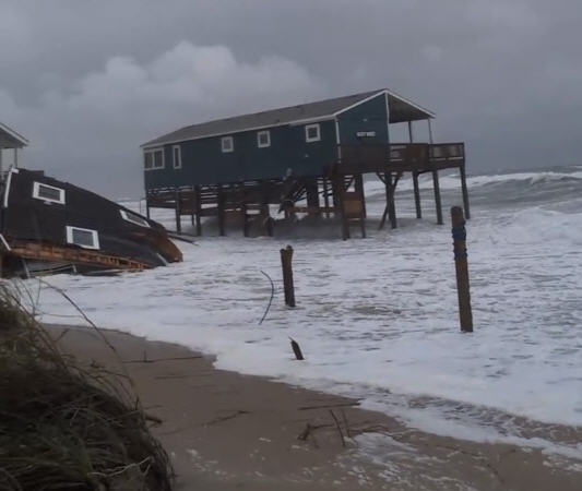
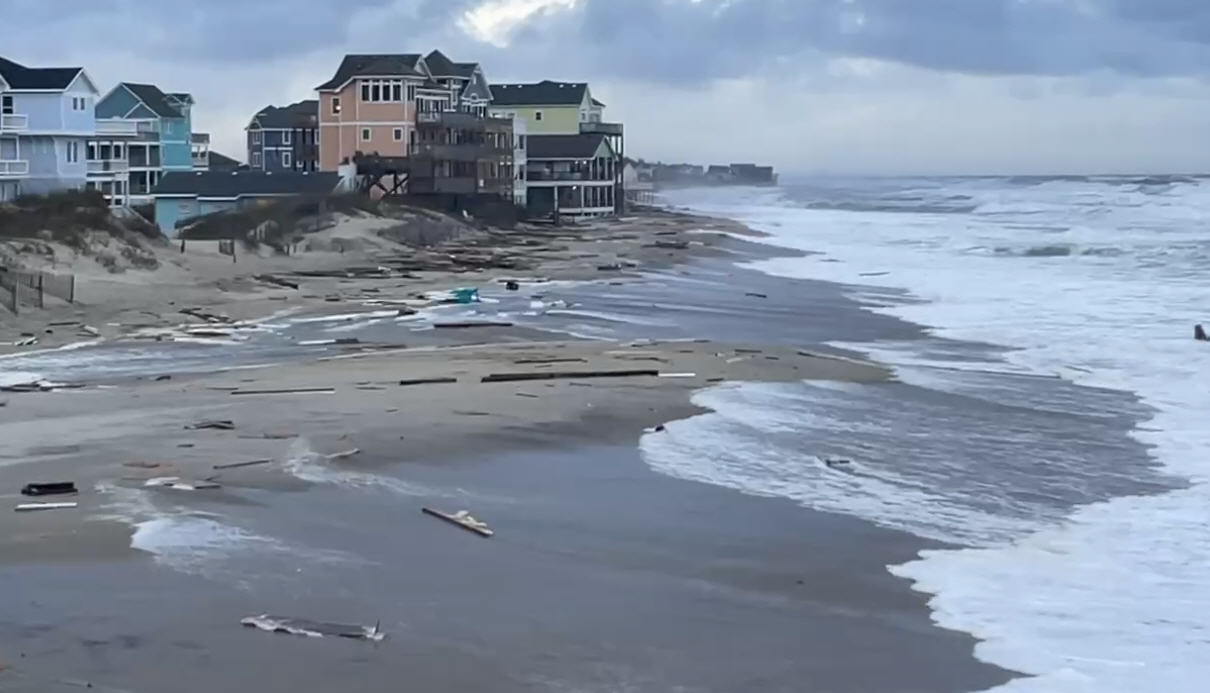
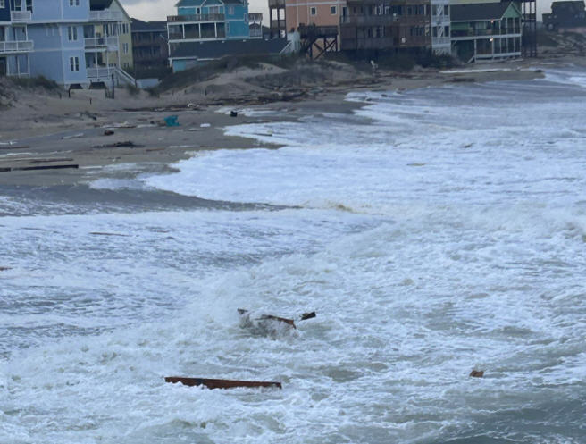
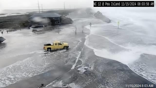
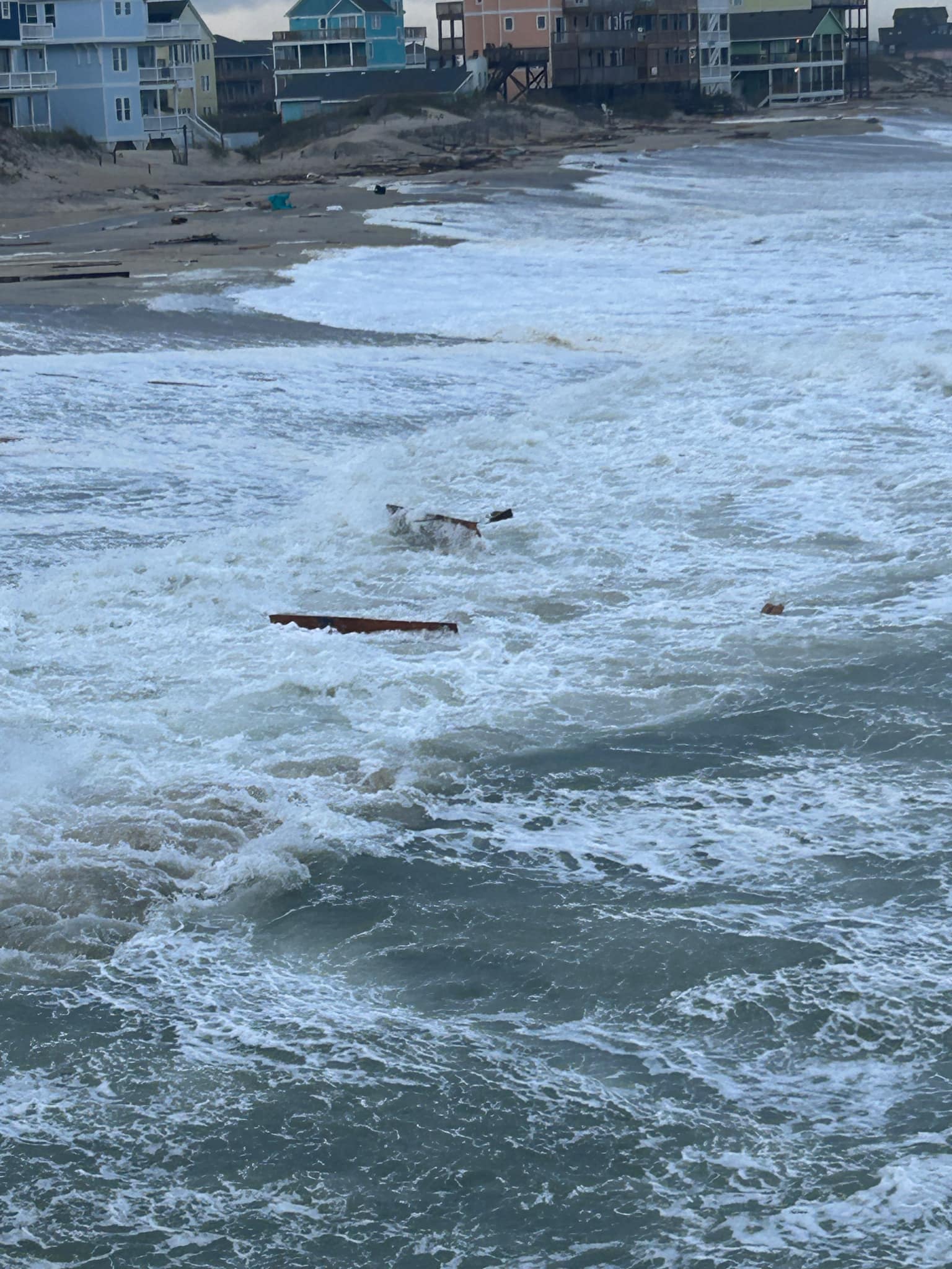
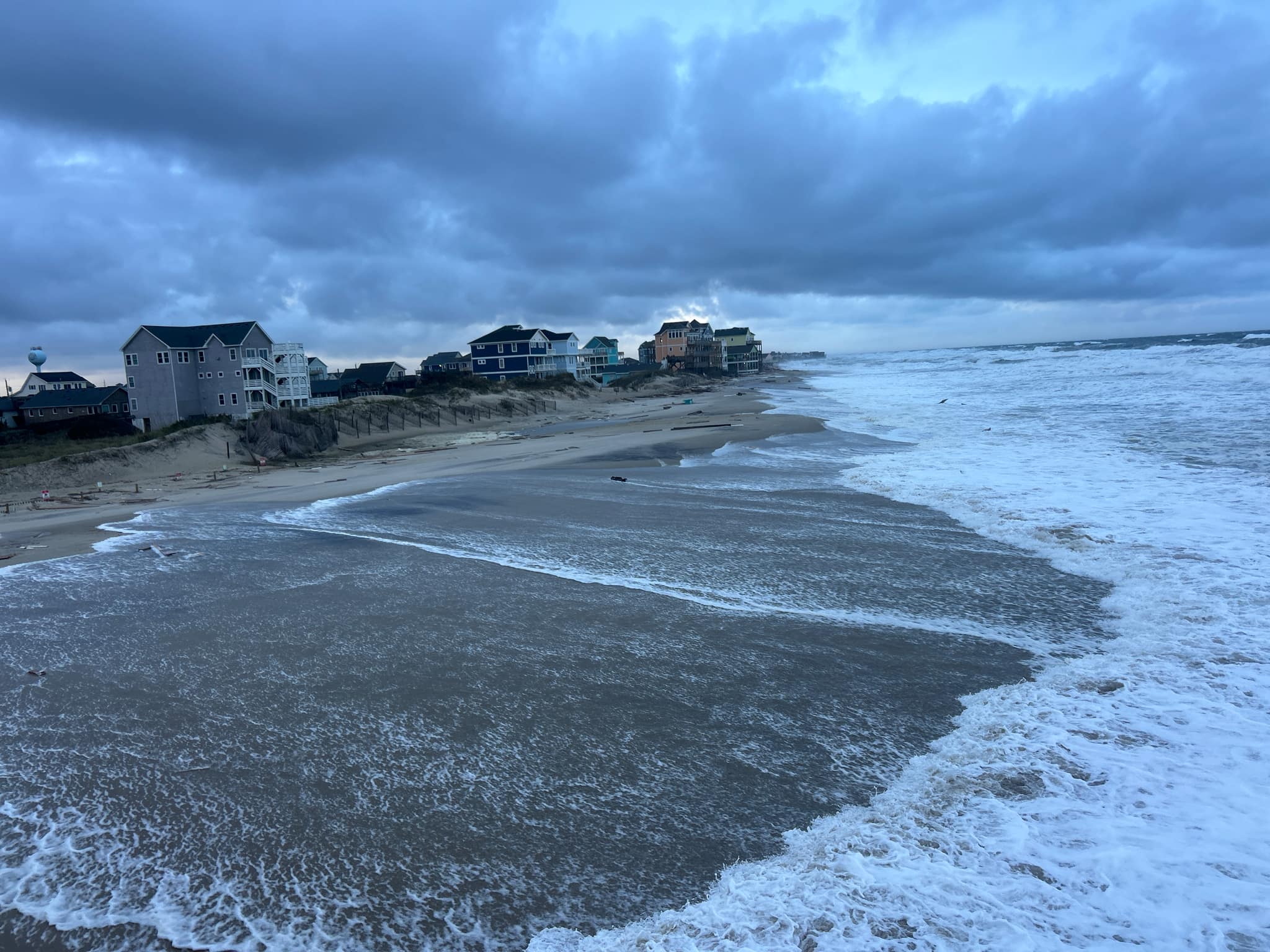
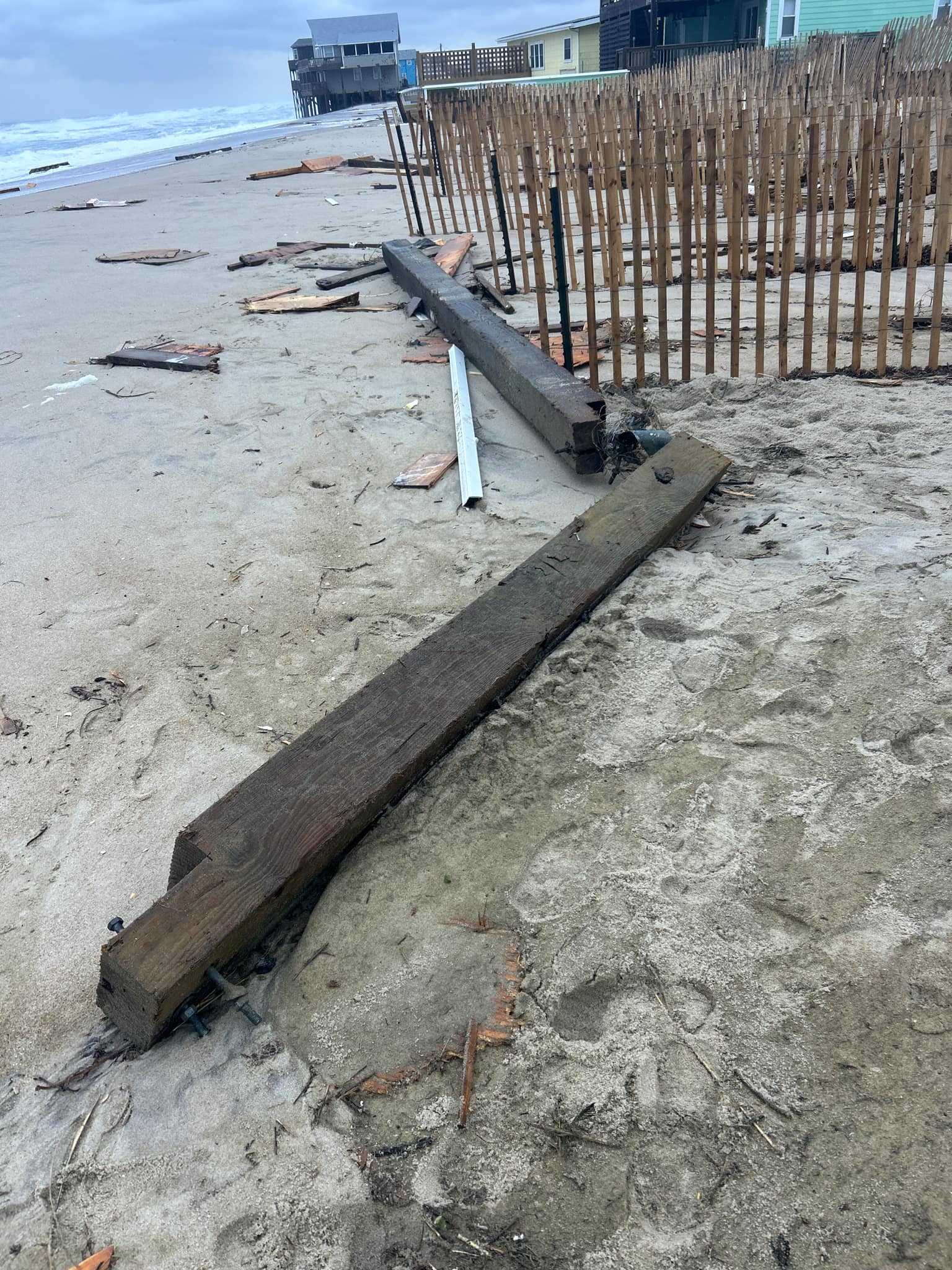
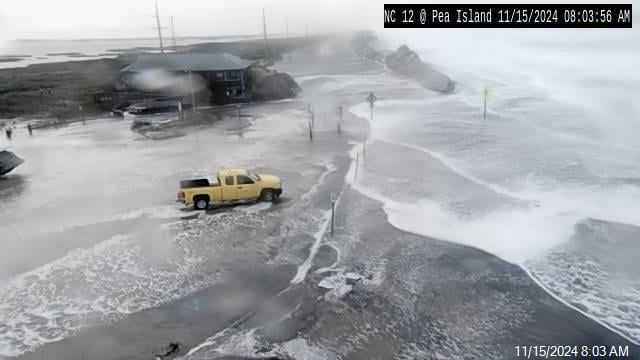
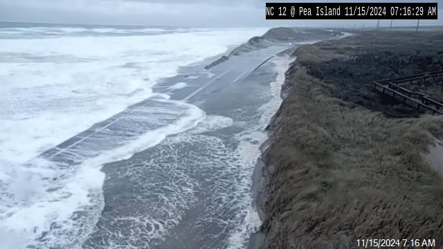
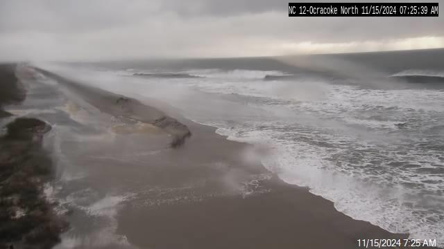
Hass said that overwash happens when storm systems such as hurricanes, tropical storms or nor’easters combine with tidal conditions that push ocean or sound water onto land.
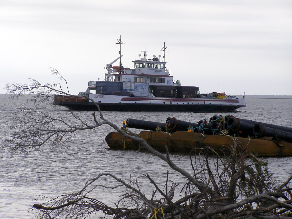
“N.C. 12 experiences that in several places, most notably the ‘S-Curves’ north of Rodanthe and the northern side of Ocracoke Island,” Hass said.
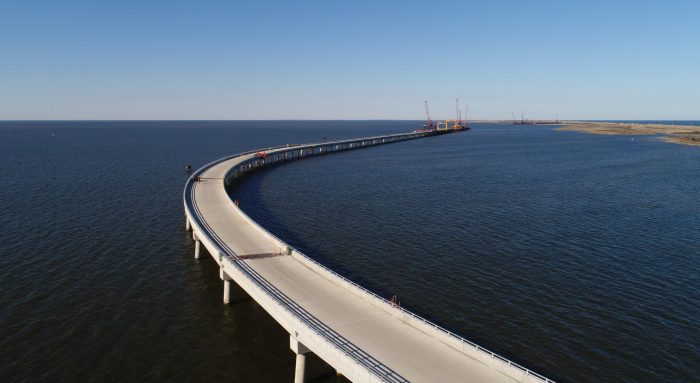
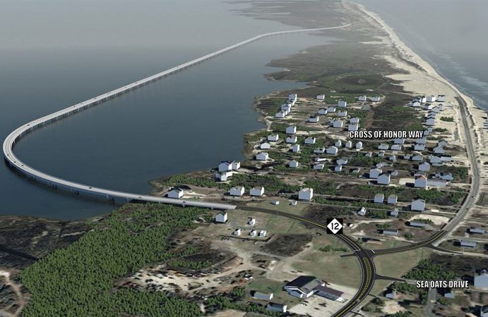
NCDOT is currently building the Rodanthe “Jug Handle” Bridge to bypass the S-curves, which he said should be open by late this year or early next.
The 2.4-mile-long bridge going around the S-curves, which are vulnerable to storm breaches, will connect the southern end of the Pea Island National Wildlife Refuge over the Pamlico Sound to northern Rodanthe.
In 2012, Hurricane Sandy caused severe beach erosion in the area. In March 2013, federal emergency funding was approved for a beach nourishment project that would place 1.6 million cubic yards of sand dredged from two ocean sandbars, work that was completed in fall 2014, according to NCDOT.
The Rodanthe bridge, along with another on N.C. 12 near the Pea Island National Wildlife Refuge, is part of Phase II of the Herbert C. Bonner B Bridge Replacement Project. The Bonner bridge was replaced in 2019 with the 2.8-mile Marc Basnight Bridge.
“Other areas in Division 1 that sometimes experience soundside flooding are downtown Manteo and Colington Road in Kill Devil Hills. NCDOT will begin a project this fall on Colington Road that includes raising vulnerable parts of the road to mitigate some of those events,” he said. This project is expected to be awarded later in the month.
There is a third type of flooding, but it doesn’t occur much in his division, Hass explained.
“It happens when a rain event happens upstream on a river and flooding occurs as creeks or rivers rise downstream. A good example of this is when Hurricane Matthew dumped 14 inches of rain on Edgecombe County, which caused the Tar River to flood downstream,” he said.
In general, minor, or short-term flooding is usually just a cleanup effort when it comes to roadways, but hurricanes, including Dorian, Matthew and Irene, can undermine roadways and damage or destroy pavement, he said.
The central and southern coast also encounter flooding and, like most areas, the location of flooding depends on the duration and intensity of the extreme rain event, such as if it’s a hurricane or severe storm, Lauren Haviland, communications officer for Divisions 2 and 3 with NCDOT, explained in an email.
Division 3 Maintenance Engineer Robert Vause and Assistant State Hydraulics Design Engineer Matt Lauffer assisted Haviland with the responses to an email from Coastal Review. Counties in Division 2 are Pender, Onslow, Carteret, Craven and Beaufort. Division 3 covers Brunswick, New Hanover, Onslow and Pender counties.
“We also have some coastal routes that are impacted during excessive tidal events. Those are primarily in coastal areas and along the Cape Fear River,” the email said.
NCDOT designs the roads to stand up to storm frequency, according to department officials. For example, a 10-year event has a 10% chance of occurring in any given year and a two-year event has a 50% chance of occurring in any given year. Secondary roads are designed to withstand a 25-year storm, which has a 4% chance of occurring in a given year. Primary roads are designed to the 50-year standard, which has a 2% chance of occurring, and in some cases for a 100-year storm that is half as likely again of occurring.
“Flooding events above the design storm event can put additional stresses on the roadway network that can cause damage. NCDOT designs roadways to limit damages above the design storm,” they said, meanwhile “Droughts have less of an impact on the roadway network unless there are large-scale settlement issues in a region. NCDOT designs to limit these impacts.”
If a roadway is in an area affected by tides, then tide effects are considered in the design. “Drought conditions from a hydraulics perspective would lessen the impact of a rainfall event when compared with an event that occurs when there are wet conditions,” the email said.
NCDOT is developing tools to better predict and document roads that are impacted during extreme high tides. Resilience is a consideration in the design and operation of transportation systems and the department is working with the State Climate Office to research how to better respond to floods.
Jared Bowden, senior research scholar with N.C. State’s Department of Applied Ecology, said that the collaboration between NCDOT’s engineers and the climate scientists at North Carolina State University is geared toward better understanding how precipitation may evolve in North Carolina as the climate continues to warm and then using those findings to inform future design standards.
The project has two main objectives, Bowden said. One is to learn how the kind of recently experienced devastating hurricanes with extreme rainfall may change in the future and two, to compare methods for updating future precipitation intensity duration frequency curves, which are used to engineer things like culverts and highway drainage systems.
NCDOT is looking statewide with its resiliency efforts. Earlier this year, the agency released the NCDOT Resilience Strategy Report, a “roadmap” for policy, best practices and investment decisions. The strategy is in response to Gov. Roy Cooper’s Executive Order 80: North Carolina’s Commitment to Address Climate Change and Transition to a Clean Energy Economy, which calls for an annual report to communicate progress and accomplishments toward cabinet agency resilience goals and objectives.
Bowden, with NC State, told Coastal Review that there’s a connection between their research and Executive Order 80. He explained that he has been talking about this line of research for several years with NCDOT, after 2016’s Hurricane Matthew but before Florence in 2018.
“However, after Florence this research came to the forefront for NCDOT with major highways underwater again for a week or more,” he said. “The NC executive order 80 was the real push to better understand this problem (changing rainfall patterns and future flooding), which was also the driving mechanism of the report.”
This is the first iteration of the resiliency strategy, which aims to establish resilience terms and hazard types, and to standardize terminology, the document states. The report details existing efforts and future short-, medium- and long-term steps to advance and deepen agency-wide resilience practice and capability, as well as addresses several concerns relevant to the coast, particularly hurricanes and storm surges.
For example, the strategy states that the N.C. 12 bridge connecting Oregon inlet to Pea Island included design elements to adapt to changing oceanic and sound tidal conditions, “Specifically, four channel spans allow wave action and natural channel flow beneath the structure to migrate while simultaneously maintaining adequate access for vessels. Further south in Rodanthe the ‘jughandle’ bridge (B-2500B) has been built on the backside of the island to provide redundant and accessible travel access if N.C. 12 is overtopped or washed out in a major event.”
The March report also mentions the North Carolina Future Precipitation for Resilient Design, which is in response to the expected increase in the frequency and intensity of both floods and droughts due to climate change, but significant uncertainties remain regarding regional changes, especially for extreme rainfall.
Design has traditionally been based on long-term historical data, working under the assumption that future conditions would mirror past. Since that’s no longer the case, a three-year study is underway to use Global Climate Models, or GCMs, to predict future climate conditions. The study is to help NCDOT with climate adaptation and resilience planning and be better prepared for future flood risk.
Other studies noted in the strategy that are in progress include a rainfall data study to update precipitation frequency estimates, which have not been since 2004, and predicting roadway washout locations during extreme events. This study, expected to be complete in 2023, is to develop models and test approaches for predicting crossing washouts based on forecasted rainfall. The model predictions will be used to develop a network of “safe” routes for each watershed.


