Though Florence’s Track is Uncertain, Increased Rip Current Risk is Expected this Weekend
Though the eventual path of Hurricane Florence is still unknown, beach-goers should expect to see a higher risk of rip currents beginning over the weekend.
“One thing we’re confident in, in terms of impacts, is an increased threat of dangerous rip currents and rough surf,” said Lead Forecaster for the National Weather Service Newport / Morehead City office, Robert Frederick. “Even if Florence stays far offshore, it will produce swells, and we will start seeing those over the weekend, and peaking next week. It is hard to say yet if [the swells] will be big enough for beach erosion or rough surf.”
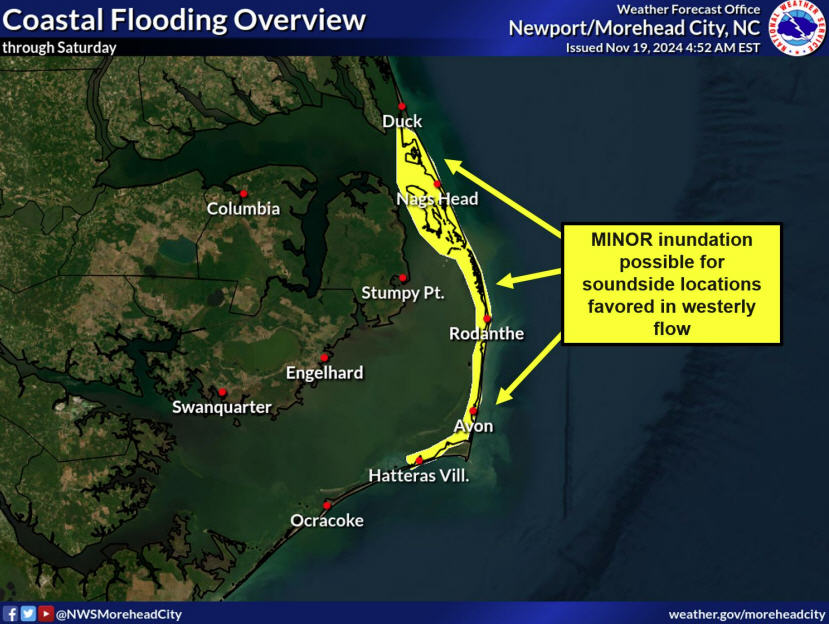
“Beyond that, it’s too early to tell if there will be direct impacts [to the Outer Banks] of storm surge, high winds and heavy rains,” he added.
Current computer models of Florence’s long-term path vary widely, with some keeping it up to 300 miles offshore, and others bringing it close to southeastern North Carolina.
However, the track will likely tighten in the days to follow, with a clearer picture of Florence’s path expected this weekend.
“Every day we get closer to [a more defined] path, as computer models come into better agreement,” said Frederick. “Later this weekend, we’ll be within five days of a potential direct impact, so we’ll have more confidence on whether it will directly impact the Outer Banks.”
Florence has also been a hard storm to track in terms of intensity, as the storm was a major hurricane earlier in the week before it weakened significantly. It’s probable that the storm will regain strength once it connects with warmer water, but there is a lot of uncertainty at this point.
As of 11 a.m. on Thursday, the center of Hurricane Florence was located near latitude 24.6 North, longitude 48.6 West. Florence is moving toward the northwest near 10 mph (17 km/h). A turn toward the west-northwest and west with a decrease in forward speed is expected through Saturday. Florence may begin to move faster toward the west-northwest over the western Atlantic early next week.
Maximum sustained winds have decreased to near 105 mph (165 km/h) with higher gusts. Additional weakening is forecast during the next day or two, however, Florence is expected to remain a hurricane and may re-intensify over the weekend.
In the meantime, beach-goers should watch for rip currents and elevated risks, which are posted daily. Visitors and residents can also sign up for text alerts to easily check on ocean conditions by texting “Join OBXBeachConditions” to 30890.
For additional info, visit www.weather.gov/mhx for weather forecast information, or the National Weather Service office in Newport / Morehead City’s Facebook page, https://www.facebook.com/NWSMoreheadCity/.


