Michael Shifts West and Diminishes to Tropical Storm
Michael’s track has shifted slightly westward, which lowers the total amounts of rainfall for the Outer Banks region, however forecasted wind speeds and storm surge values remain unchanged, per the Thursday morning briefing from the National Weather Service (NWS) Newport / Morehead City.
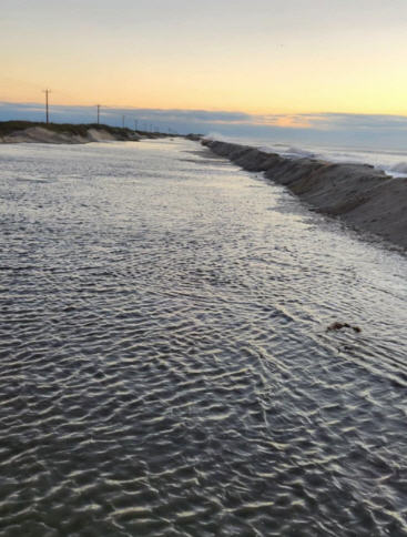
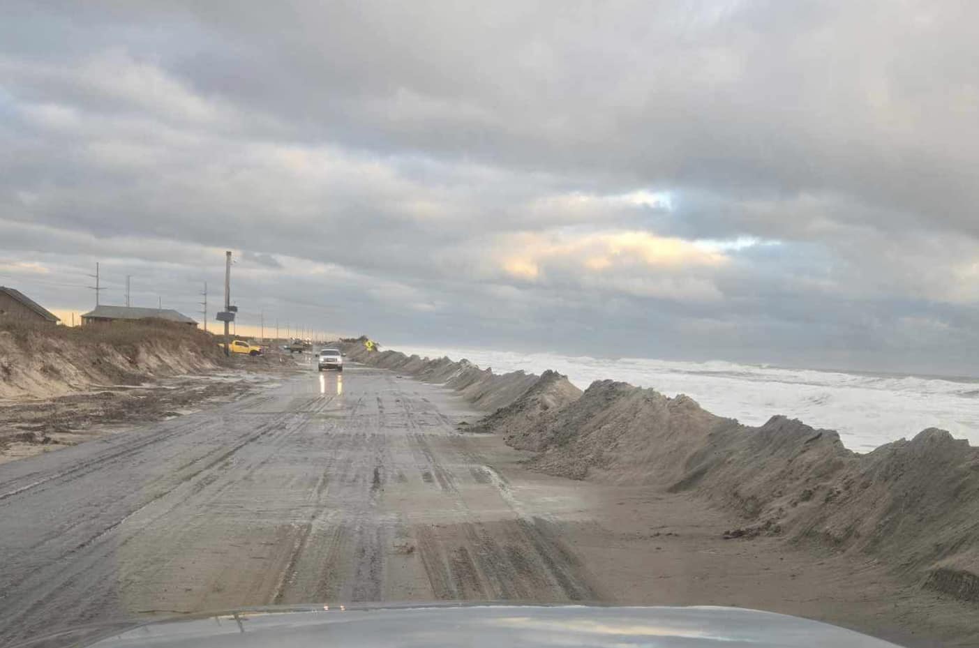
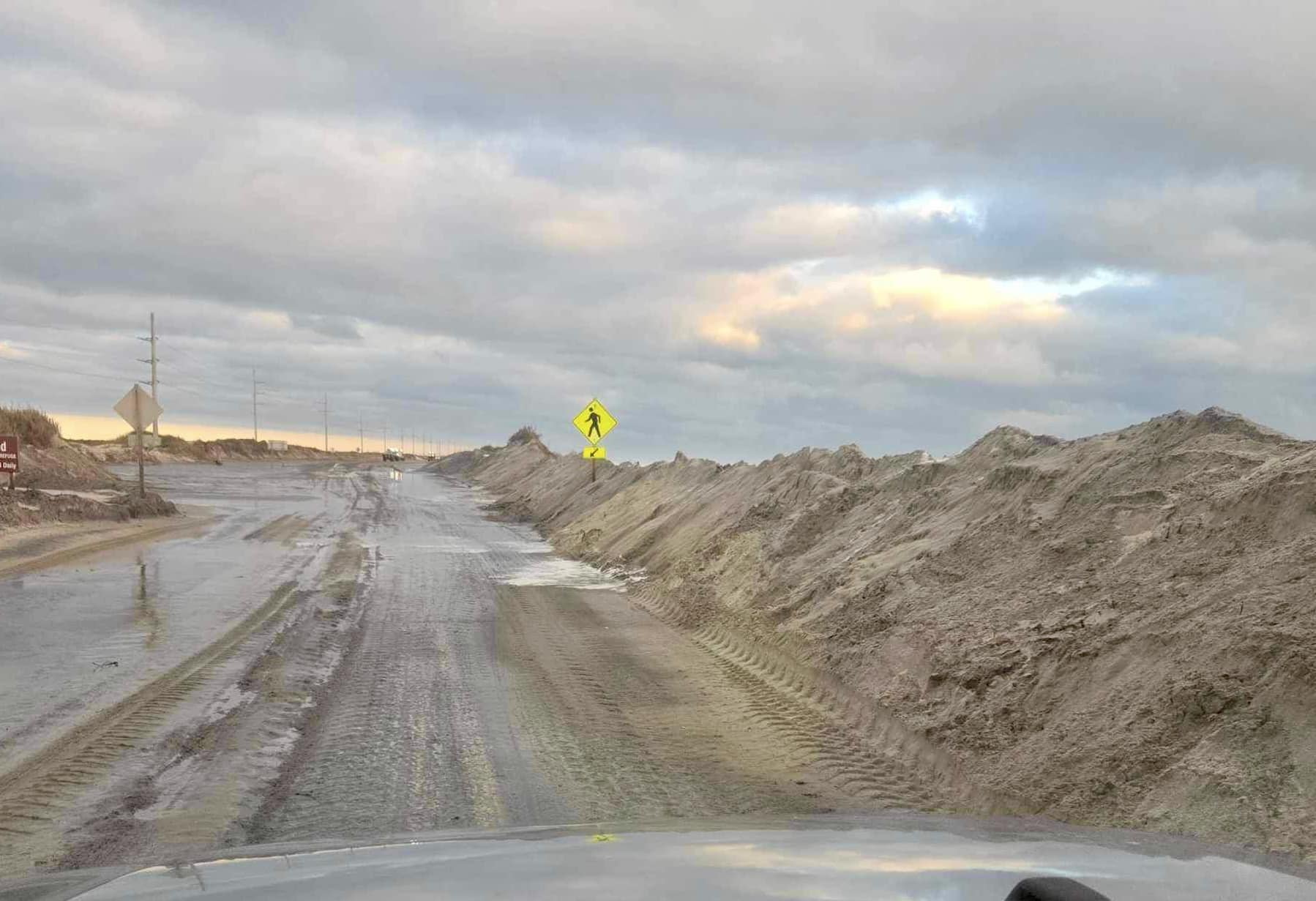
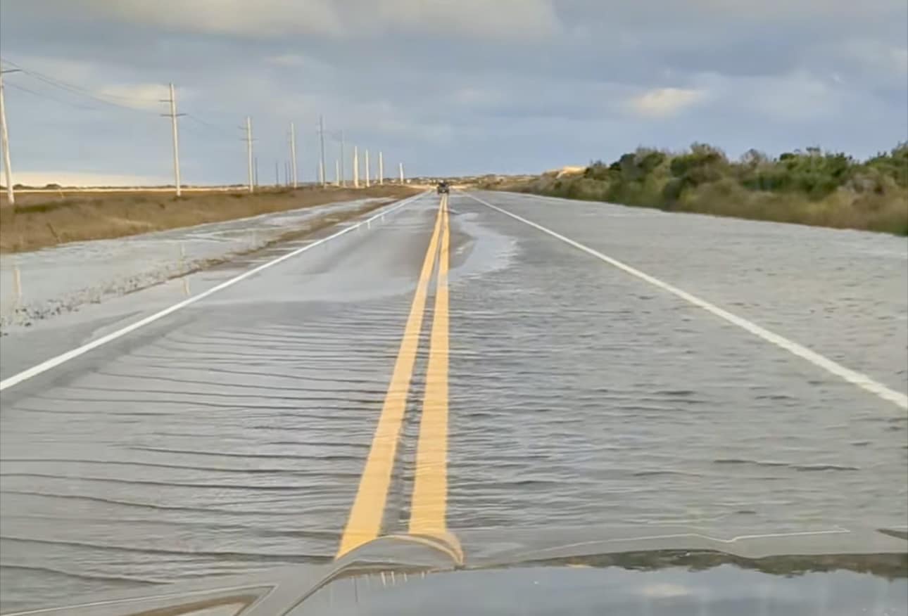
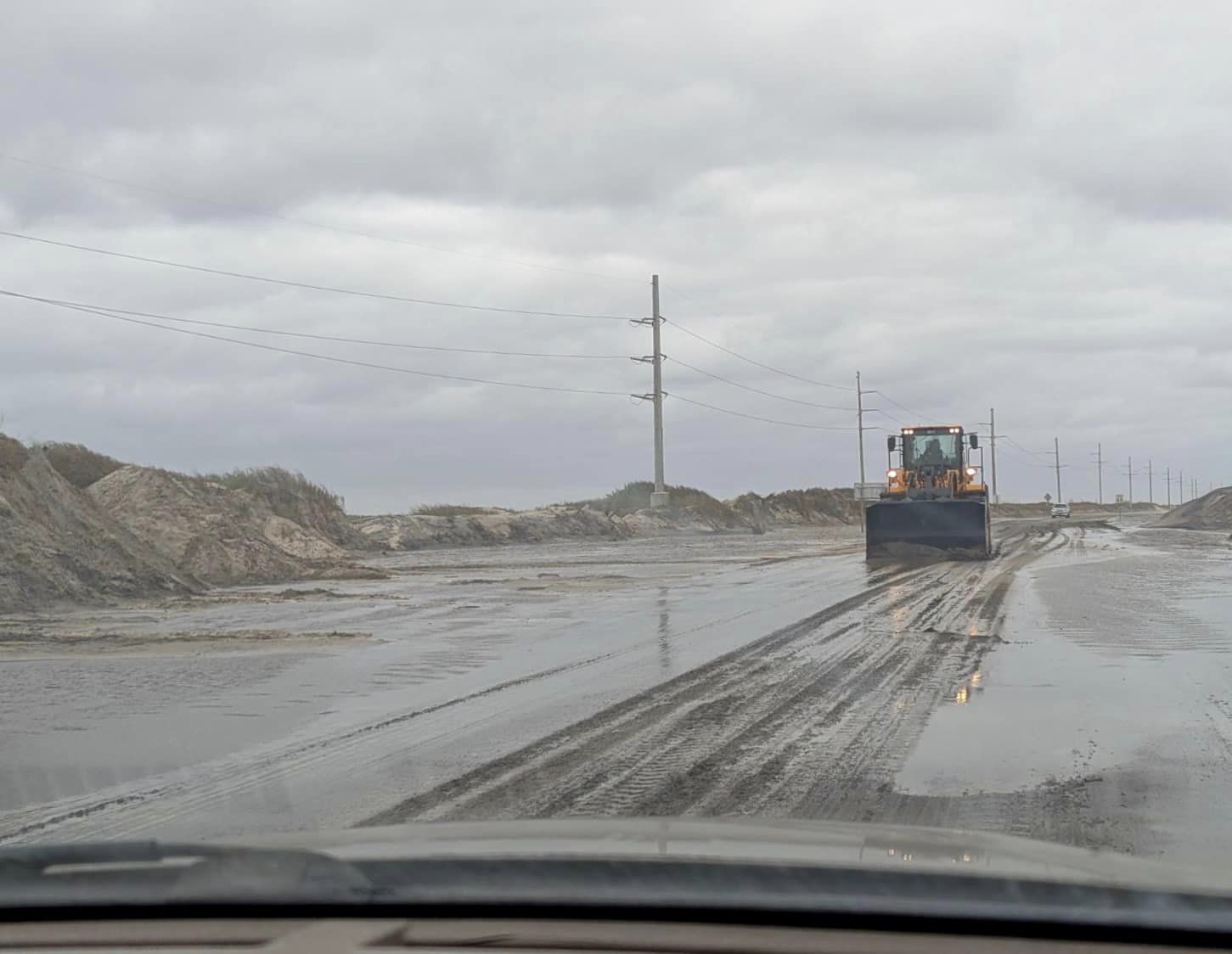
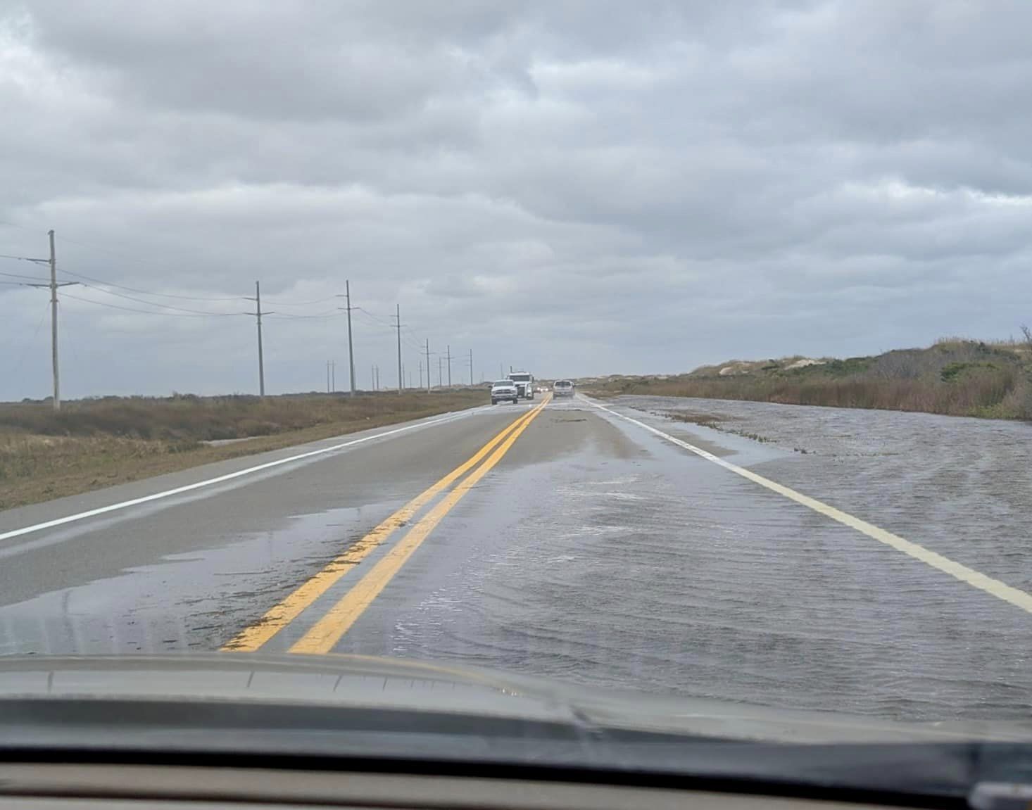
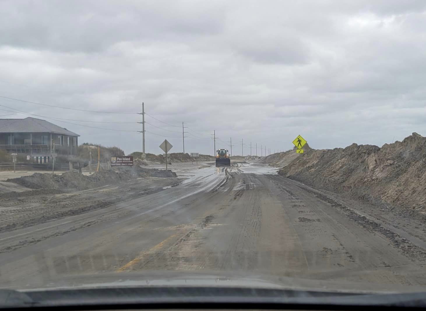
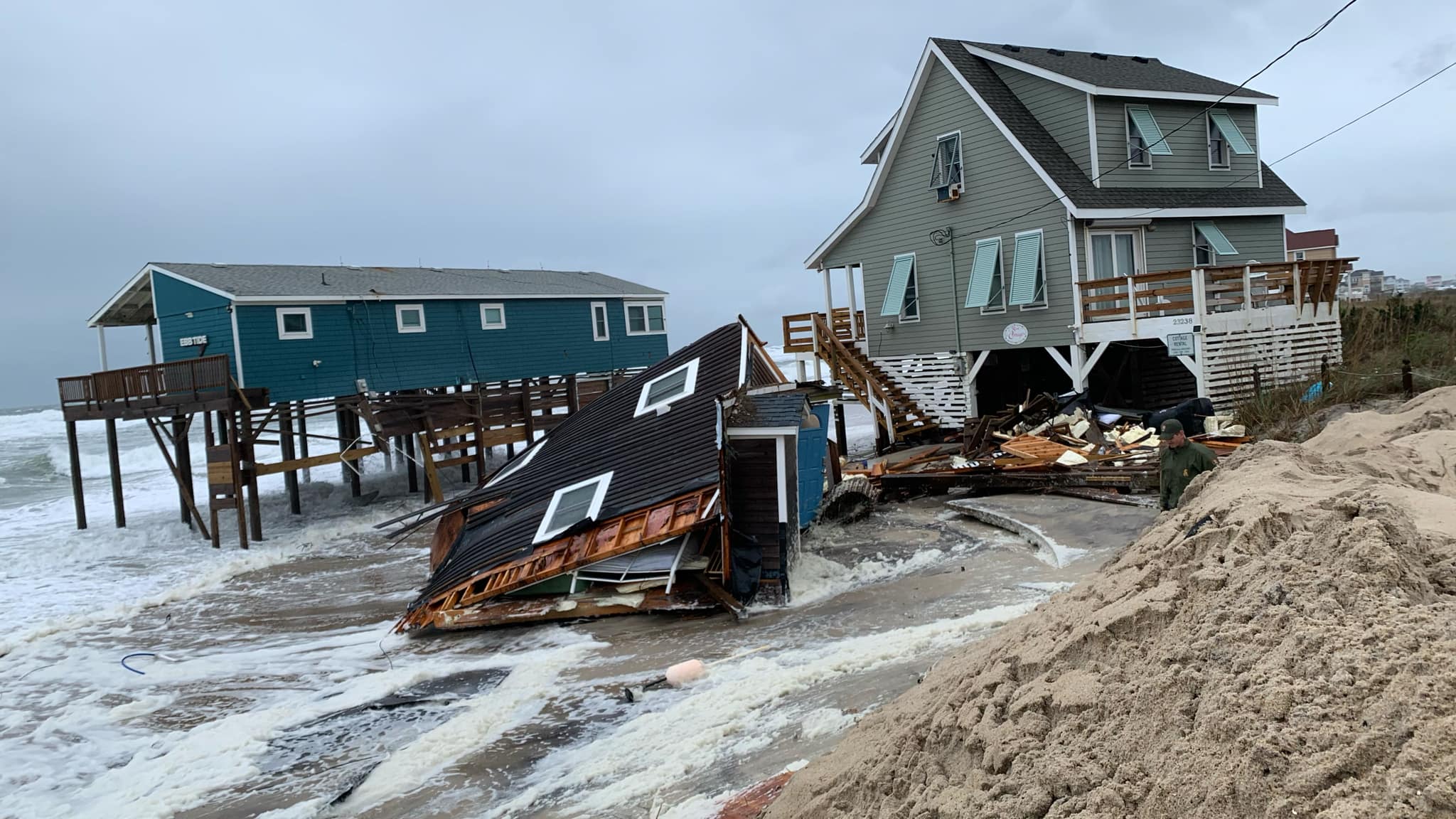
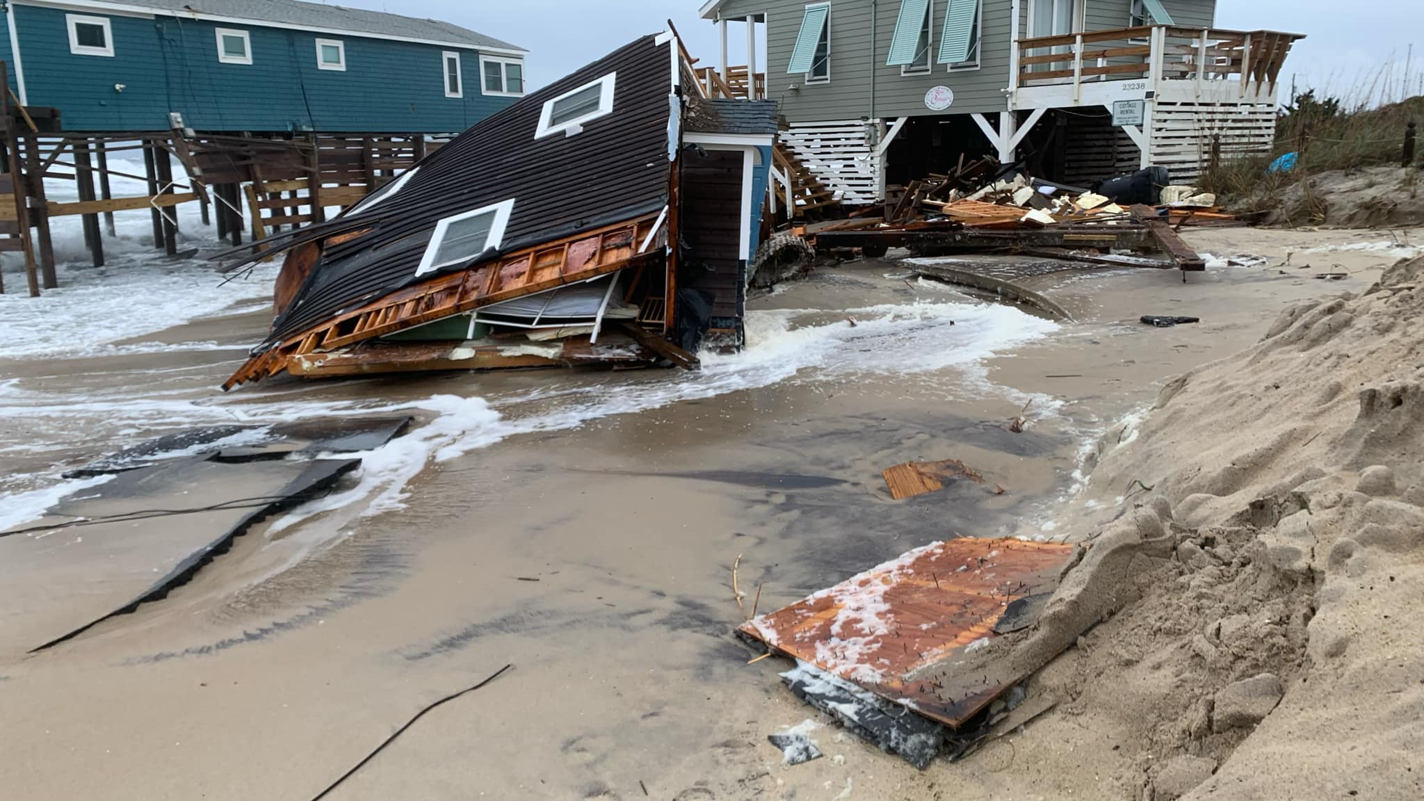
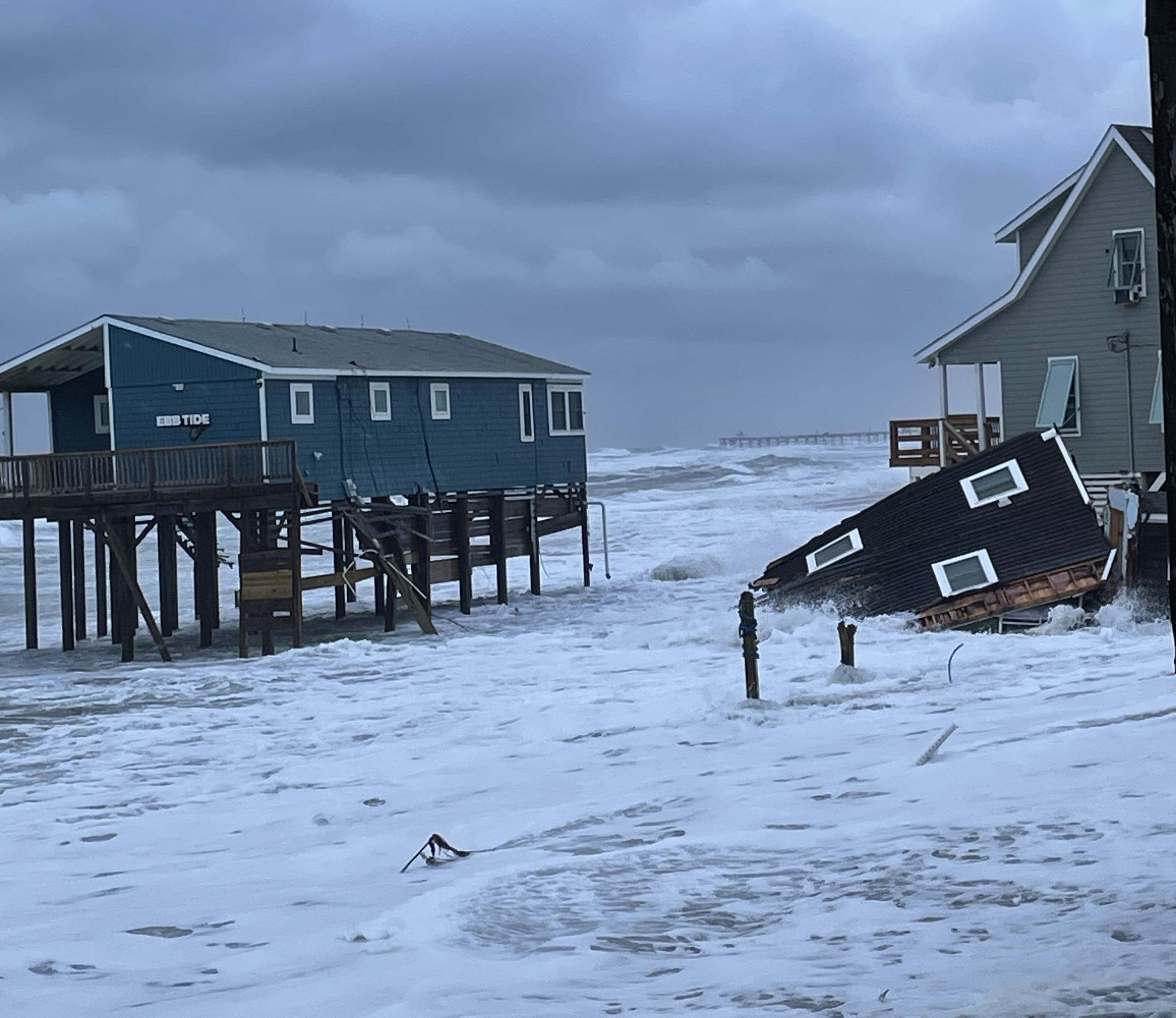
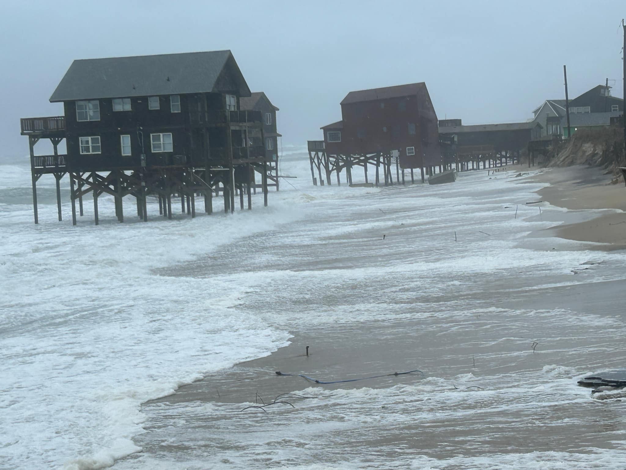
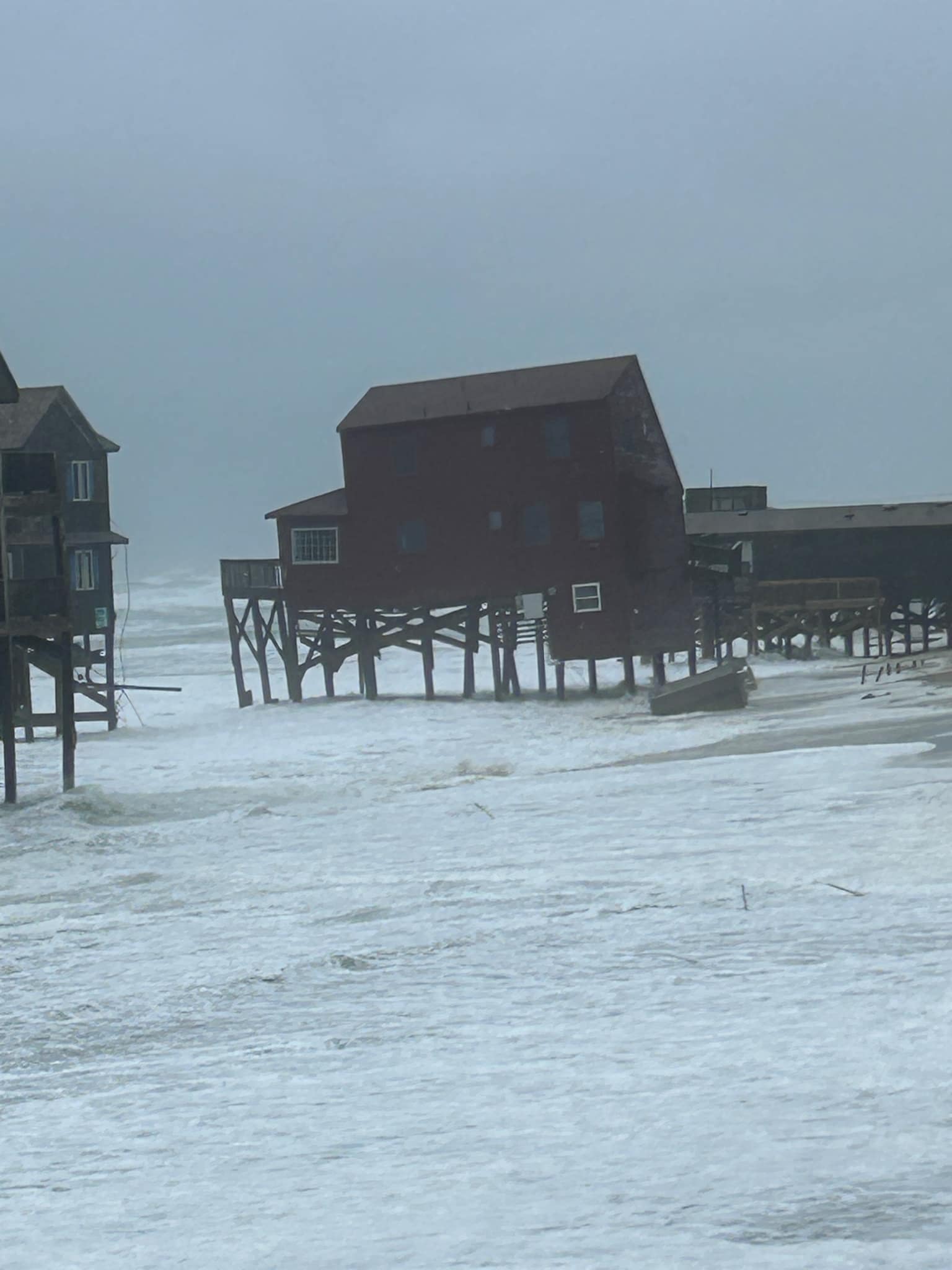
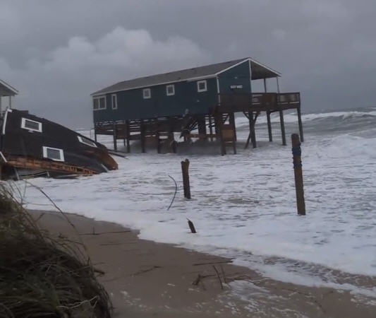
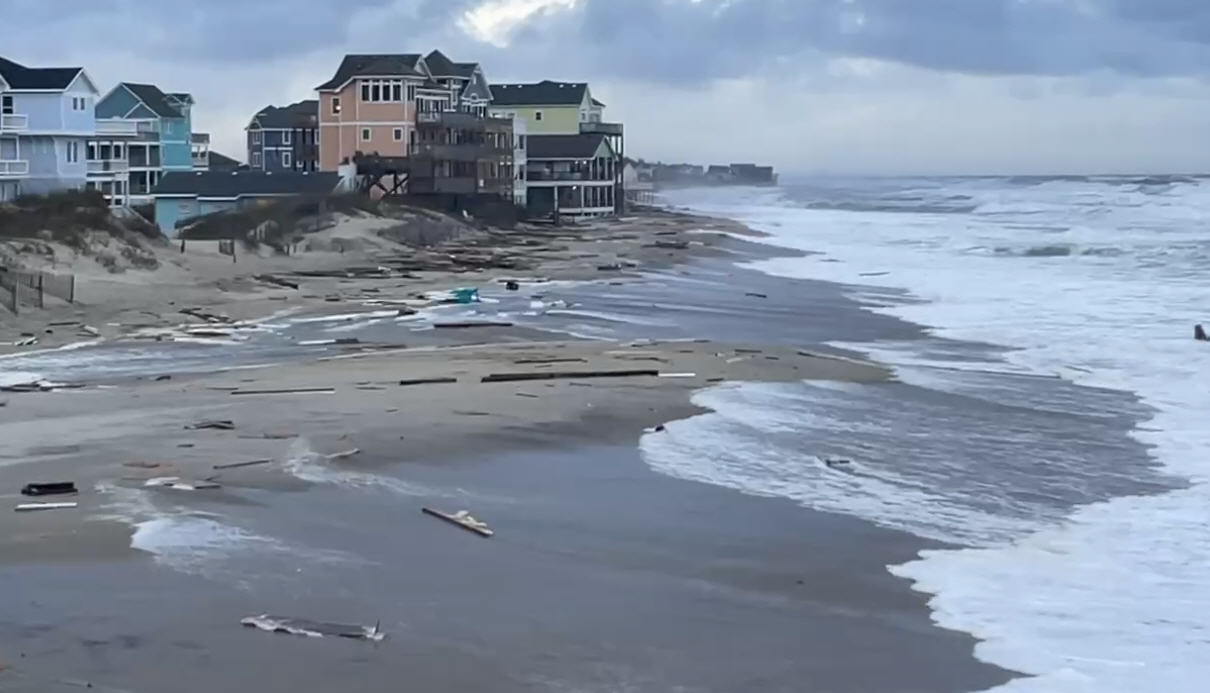
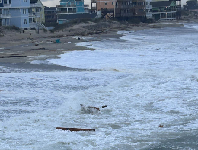
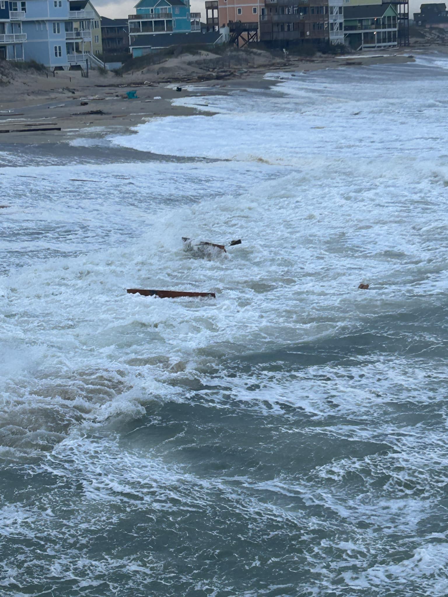
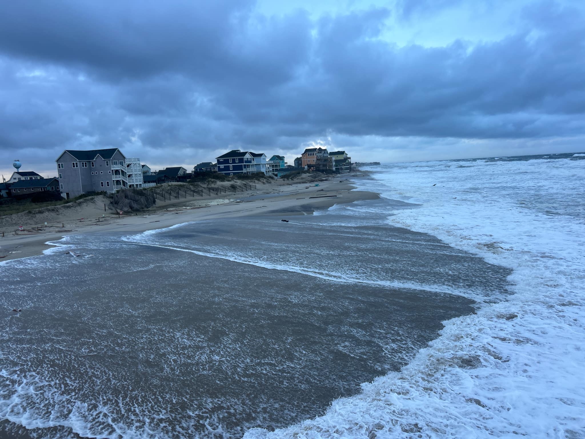
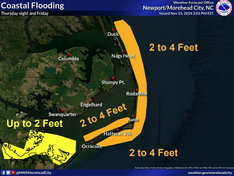
2 to 4 feet of above-ground and primarily soundside flooding is forecasted for the Outer Banks, with the most significant impacts expected from Avon/Rodanthe to soundside Nags Head. Minor inundation of oceanside flooding is also possible.
Stronger winds are also possible for northern Hatteras Island on the backside of Michael, as the storm moves offshore and to the northeast early Friday morning. Maximum sustained winds of 40-45 mph are forecast for Hatteras and Ocracoke Islands, with maximum wind gusts in the 53-58 mph range. Rainfall totals have reduced with the latest NWS briefing, with.5-1.5” inches of rain now forecast for the islands.
As of 8 a.m. on Thursday, Michael was located in central South Carolina and was moving toward the northeast near 21 mph. This motion is expected to continue with an increase in forward speed through tonight, and a turn toward the east-northeast and an even faster forward speed are expected on Friday.
On the forecast track, the center of Michael will continue to move across central South Carolina this morning, then across portions of central and eastern North Carolina and southeastern Virginia this afternoon and this evening, before moving into the Atlantic Ocean by late tonight or early Friday.
Tropical-storm-force winds extend outward up to 160 miles, mainly over water to the southeast of the center.
Dare and Hyde Counties remain under a tropical storm warning. A storm surge watch and flash flood watch are also in effect for both counties. A high rip current risk remains in effect for the Outer Banks, and will likely be in place for the rest of the week.
For more information, visit www.weather.gov/mhx for weather forecast info, or the National Weather Service office in Newport / Morehead City’s Facebook page, https://www.facebook.com/NWSMoreheadCity/.


