Ocean overwash causes N.C. Highway 12 closures between Frisco and Hatteras, and on northern Ocracoke Island
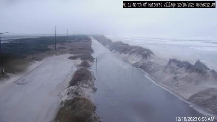
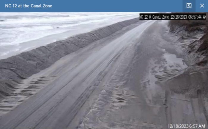
Severe ocean overwash has closed several sections of N.C. Highway 12 as of 2:00 a.m. on Monday, per an update from the North Carolina Department of Transportation (NCDOT).
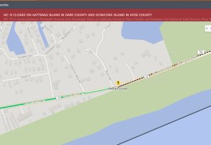
- N.C. Highway 12 in the Sandy Bay area north of Hatteras Village is closed due to multiple dune breaches. The closure begins at Sandpiper Lane and Elizabeth Drive (SR1272).
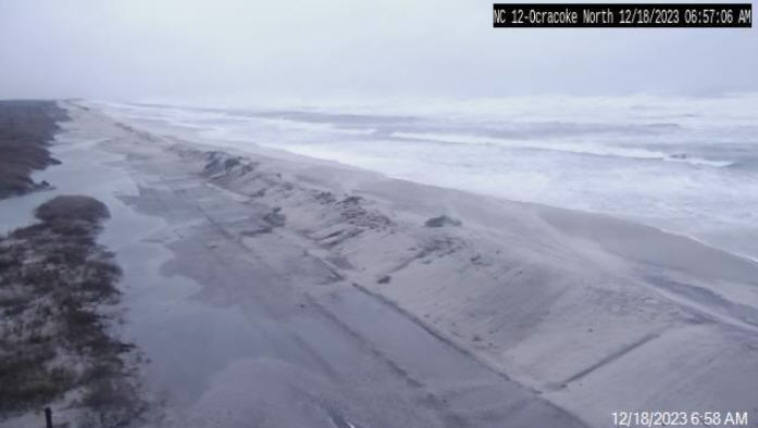
- N.C. Highway 12 on northern Ocracoke between the Pony Pens and the Hatteras-Ocracoke ferry docks is closed. Ferry service is suspended for all three Ocracoke Island ferry routes.
“Our crews are now arriving at the two closed sections of NC 12… to begin clearing and assess any damage,” stated NCDOT in a 7:00 a.m. update. “We’ll have a better timeline on reopening once they’ve had a chance to do that.”
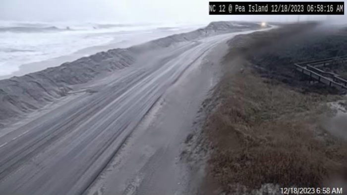
All other sections of N.C. Highway 12 are open, but blowing sand, standing rainwater, and other issues have been reported in multiple locations. Travel is not recommended.
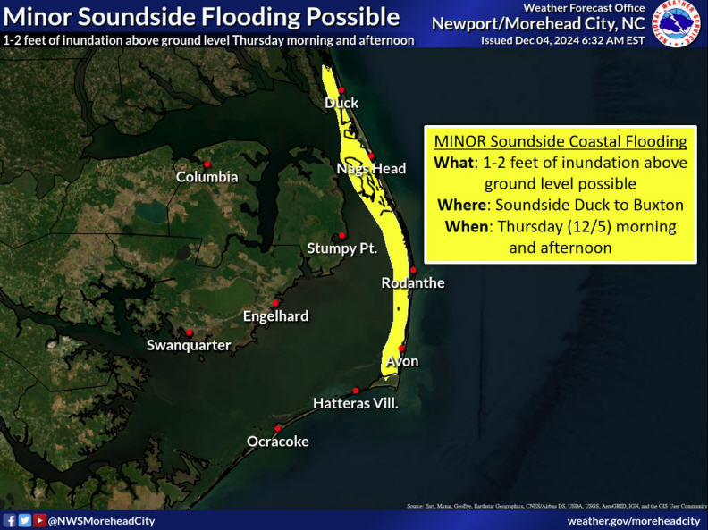
The center of the non-tropical low pressure system is moving away from the Outer Banks, but the storm will still produce strong westerly winds with 45-50 mph gusts and the potential for soundside flooding on Hatteras and Ocracoke Islands.
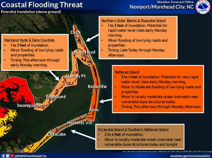
As the wind switches to a westerly direction early Monday morning, moderate to major soundside flooding of 2-4 feet above ground level remains possible from Ocracoke to Frisco, and 3-4 feet of soundside flooding is possible from Buxton to Oregon Inlet.
Winds peaked on Sunday night, and gusts of more than 60 mph were reported at multiple locations throughout Hatteras Island.
Up to four feet of ocean overwash is still forecast along the Outer Banks, and 5-10 ft. breaking surf will cause beach erosion and oceanside flooding, resulting in dangerous driving conditions along portions of N.C. Highway 12.
Additional impacts and highway closures may occur. The next high tide is approximately 11:30 a.m. on Monday.
For more information:
To receive National Weather Service alerts, create an OBX Alerts user profile at www.OBXAlerts.com and select the National Weather Service watch and warning lists or download the FEMA mobile app and select “Dare, NC” as your primary location.
For updates regarding road conditions, please visit DriveNC.gov and follow North Carolina Department of Transportation and NCDOT NC 12 on Facebook. The Dare County Sheriff’s Office also shares local road condition updates on their Facebook page.
To sign up to receive alerts if water levels in your area begin to rise due to storm surge, visit www.FIMAN.NC.gov and select the flood gauge(s) located in the waterway you’d like to monitor in real-time.






“Welcome to Hatteras Island .!”
Like I said many years ago
3 down and at least 2 more bridges to go and they plan to remove the Etheridge Lego bridge.!!
AskaSurfer..!!??