Tropical Storm Colin forecast to bring more rain to soggy islands
By IRENE NOLAN
Tropical Depression Bonnie finally headed east of Cape Hatteras and into the Atlantic on Friday — becoming a tropical storm again before giving up the ghost — and now Tropical Storm Colin is headed our way.
Bonnie’s record rainfall is barely a memory, and the National Weather Service in Newport/Morehead has already issued a flash flood watch for the Outer Banks from 8 p.m. this evening until 2 p.m. on Tuesday.
And a tropical storm warning has been issued for coastal waters south of Oregon Inlet, but there are no watches and warning right now for any land areas.
At 11 a.m. this morning, the National Hurricane Center said that Tropical Storm Colin, which formed last evening in the Gulf of Mexico, was 225 miles west-southwest of Apalachicola, Fla., with winds of 50 mph and was moving north-northeast at 16 mph.
The Hurricane Center says that a turn toward the northeast with an increase in forward speed is expected today, and a rapid northeastward motion is expected tonight and Tuesday. On this track, the center of Colin is forecast to approach the coast of the Florida Big Bend area this afternoon or evening, move across portions of Florida and southeastern Georgia early Tuesday morning, and move near the southeastern coast of the United States later on Tuesday.
Little change in strength is expected before Colin reaches the coast of Florida, the Hurricane Center said, but some strengthening is possible on Tuesday when the storm is off the southeast coast.
“At this time, wind impacts from Colin are expected to remain off the coast, but are possible within our coastal waters,” Richard Bandy, meteorologist in charge at the local Weather Service office, said this morning in an email.
“Colin is not well organized, and, therefore, larger than normal track uncertainties remain,” Bandy added. “Should the track shift well north, we may have to go to a tropical storm warning and possibly include coastal land zones.”
The Weather Service says that under the current forecast Colin will race to the south and east of the North Carolina coast with rain beginning this evening and ending Tuesday afternoon. Widespread 3 to 5 inches are forecast along the coast with isolated amounts up to 8 inches.
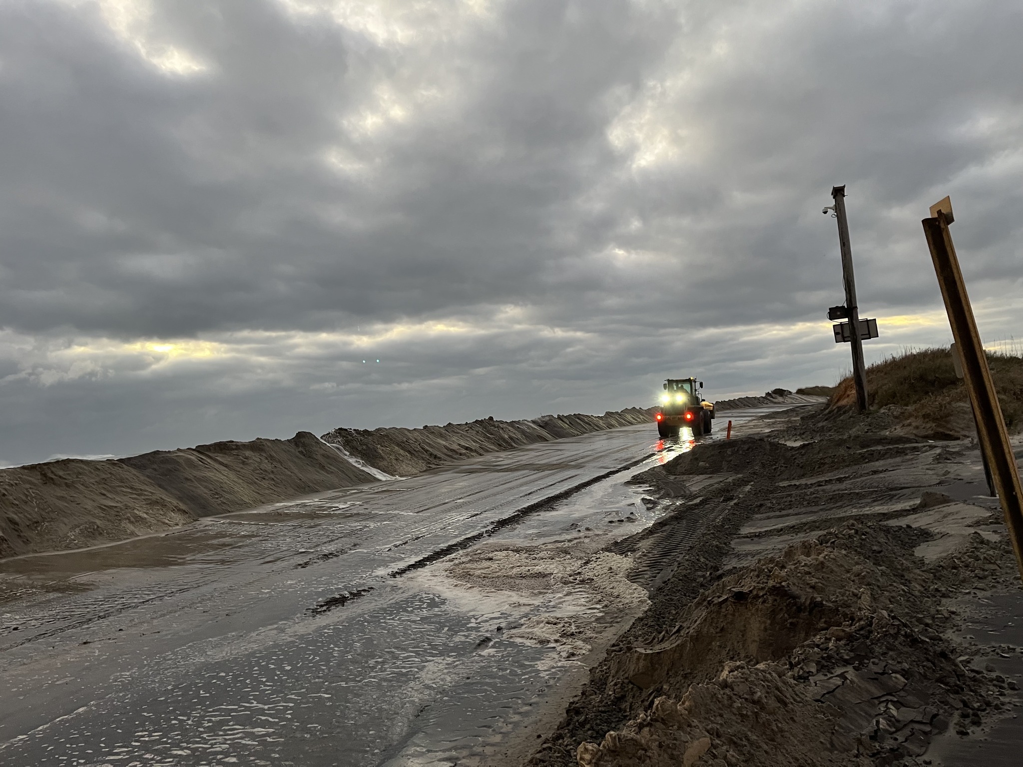
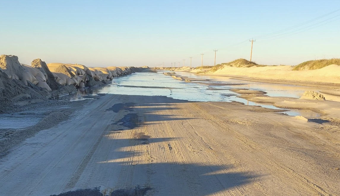
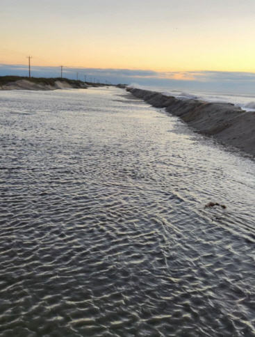
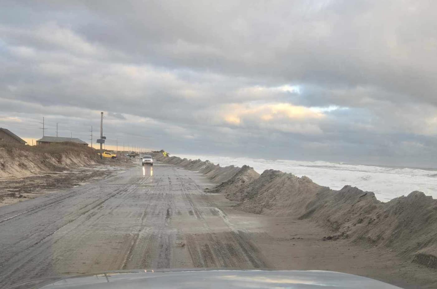
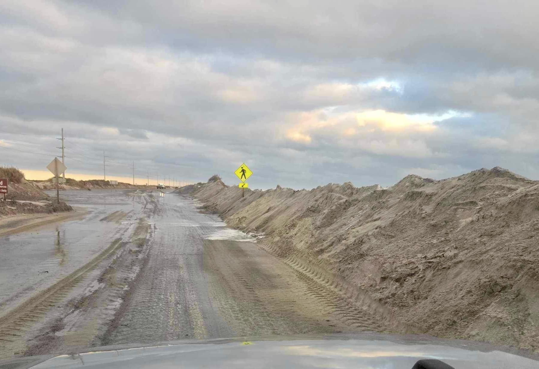
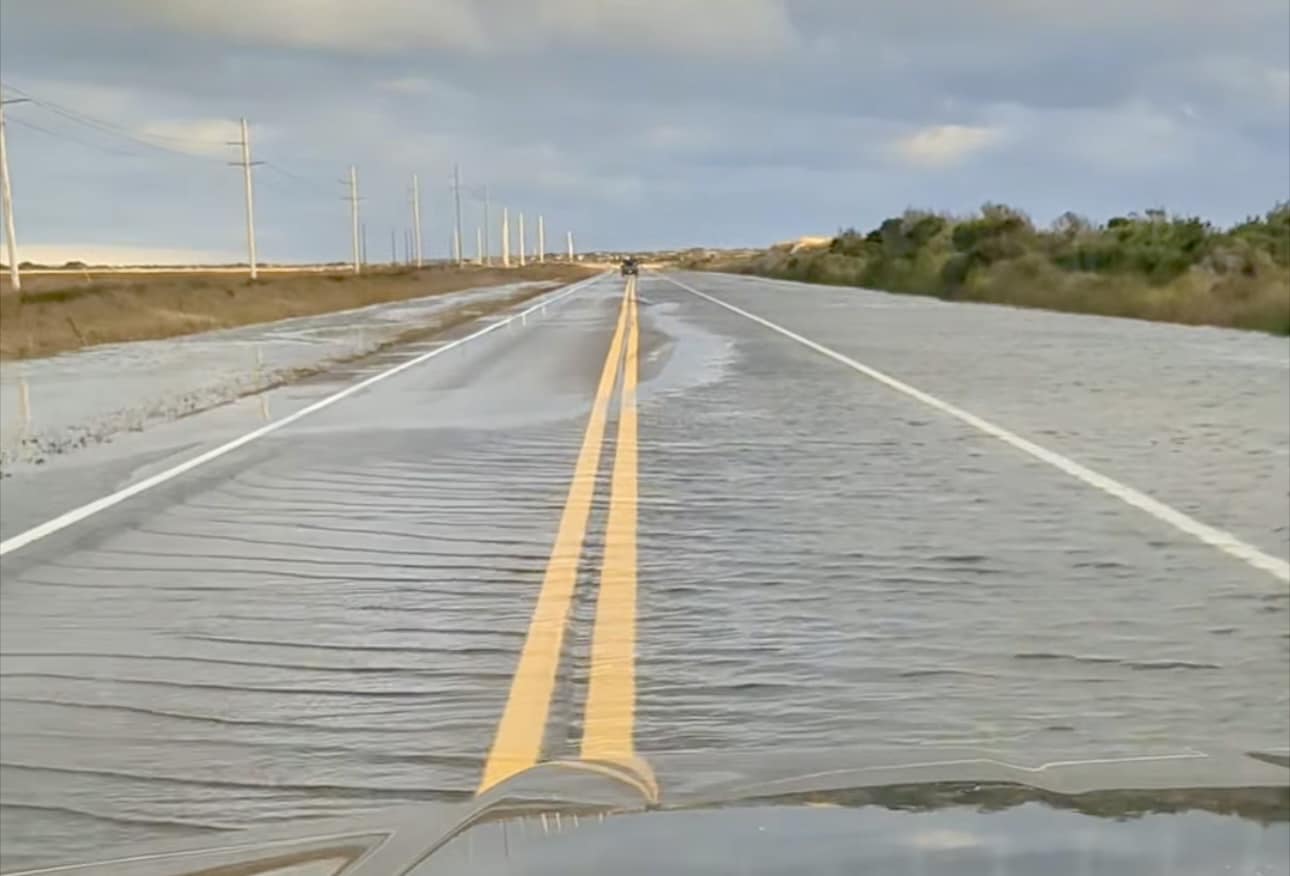
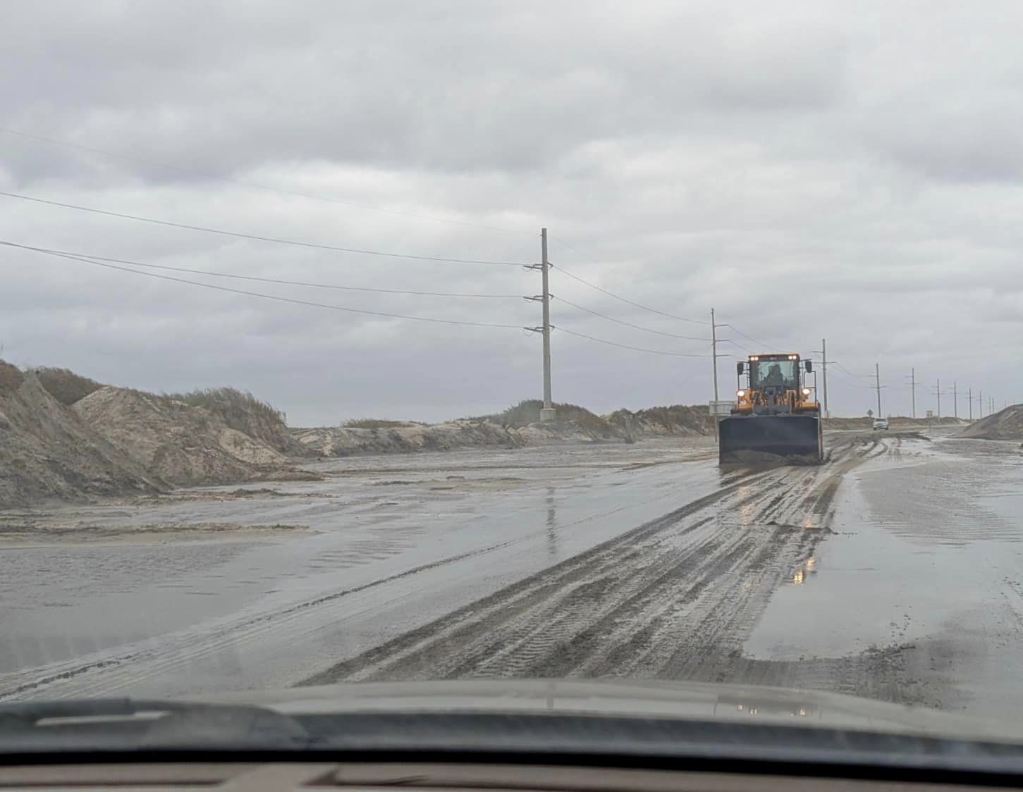
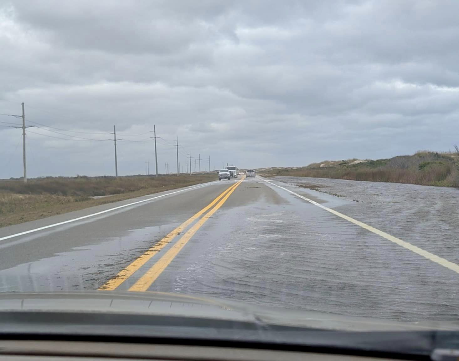
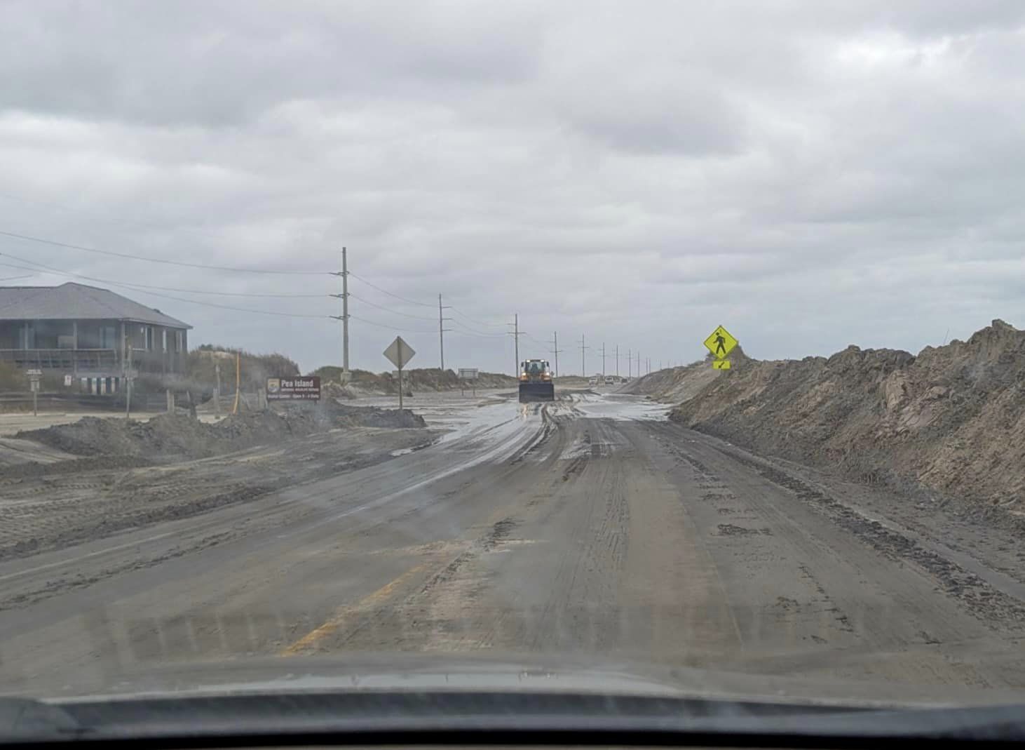
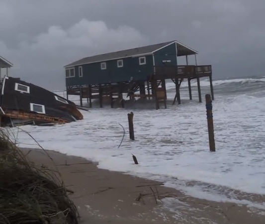
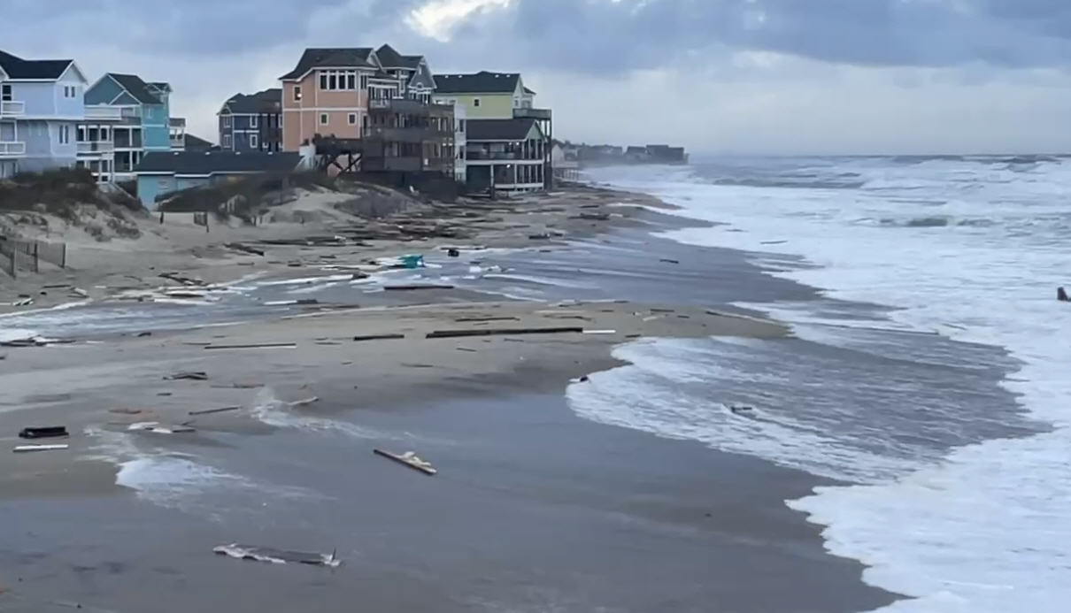
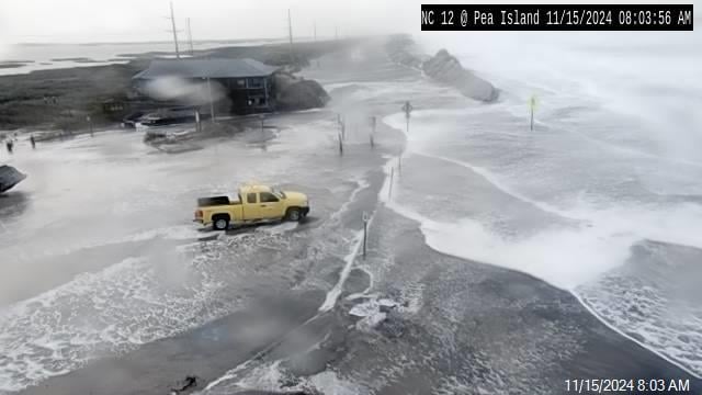
Flooding of Highway 12 and other area roadways is possible from the rainfall.
The rainfall has also caused flooding on off-road vehicle ramps in the Cape Hatteras National Seashore. The most seriously flooded ramps are 43 and 44 in Buxton and 49 in Frisco. No ramps are closed, but the Park Service is recommending that small and mid-size vehicles use caution on some ramps.
The Park Service’s Cape Point Campground is also temporarily closed.
The Weather Service also says seas will build over the coastal waters to 6 to 10 feet, and there will be an increased risk for rip currents on Outer Banks beaches.
Somewhat cooler but much less muggy weather should arrive on Hatteras and Ocracoke on Wednesday and last through the week.
For more information on the weekend forecast for Hatteras and Ocracoke islands, go to the local Weather Service website at www.weather.gov/mhx/. Or check out the local office on Facebook at https://www.facebook.com/NWSMoreheadCity/?fref=ts.


