Researchers predict 23 named storms, 11 hurricanes in the Atlantic for 2024
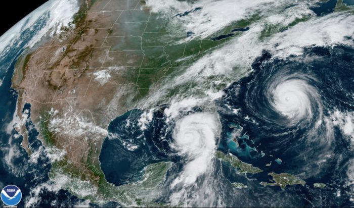
The first preseason forecast for the 2024 hurricane season is out, and if it holds true this will be another busy one in the Atlantic Ocean and Gulf of Mexico.
And they also predict the Outer Banks is more likely than not to see at least one named tropical cyclone move through this year.
Hurricane researchers with Colorado State University say record warm tropical and eastern subtropical Atlantic sea surface temperatures as a primary factor for their prediction of 23 named storms between June 1 and November 30.
Of those named storms, the researchers forecast 11 to become hurricanes and 5 to reach major hurricane strength (Saffir/Simpson Category 3 to 5) with sustained winds of 111 miles per hour or greater.
This is the most hurricanes ever predicted in April since 1995 by the team led by Phil Klotzbach, senior research scientist in the CSU Department of Atmospheric Science.
Professor Emeritus Bill Gray originated the seasonal forecasts at CSU and launched the report in 1984. He continued to author them until his death in 2016.
The team stressed that the April outlook historically has the lowest level of skill of CSU’s operational seasonal hurricane forecasts, given the considerable changes that can occur in the atmosphere and ocean between now and the peak months from August to October.
The 2024 hurricane season is exhibiting characteristics similar to 1878, 1926, 1998, 2010 and 2020, according to Klotzbach, which the forecast is based on.
“Our analog seasons were all very active Atlantic hurricane seasons,” said Klotzbach. “This highlights the somewhat lower levels of uncertainty that exist with this outlook relative to our typical early April outlook.”
The team predicts that 2024 hurricane activity will be about 170% of the average season from 1991–2020.
By comparison, 2023’s hurricane activity was about 120% of the average season.
The 2023 Atlantic hurricane season will be remembered for two late-summer storms that left their legacies on eastern North Carolina in what was one of the busiest seasons in the last eight decades.
The above-average year of activity was also characterized by record-warm Atlantic sea surface temperatures, and for producing the most named storms in what is considered a strong El Nino year.
Seven storms were hurricanes and three intensified to major hurricanes. An average season has 14 named storms, seven hurricanes and three major hurricanes.
The most significant hurricane of 2023 was Idalia, which made landfall at Category 3 intensity in the Big Bend region of Florida, causing $3.6 billion dollars in damage and resulting in eight direct fatalities.
Remnants of Idalia passed across eastern North Carolina with heavy rain, strong winds, and some overwash issues on Hatteras Island just ahead of Labor Day weekend.
The following week, three people died in the span of three days while swimming in the Atlantic Ocean, which was still churned up from waves caused by both Idalia and distant Hurricane Franklin.
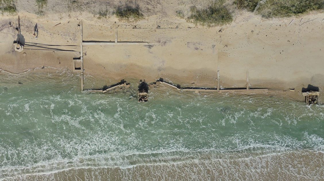
And waves from the two storms started an extended period of erosion of the beach north of Cape Hatteras Lighthouse, which remains closed due to petroleum products leaking from the sand at the site of former Navy/Coast Guard facilities in Buxton.
North Carolina has high probability of at least one named storm in 2024
The team Colorado State team also provides probabilities of named storms, hurricanes and major hurricanes tracking within 50 miles of each county or parish along the Gulf and U.S. East Coast, as well as hurricane-prone coastal states, Mexican states, Canadian provinces and countries in Central America and the Caribbean.
These probabilities for regions and countries are adjusted based on the current seasonal forecast.
According to their April forecast, the state of North Carolina has an 85% chance of experiencing at least one named storm, a 56% of at least one hurricane, and a 13% chance of a major hurricane in 2024.
Hyde County, which includes Ocracoke, has the highest likelihood of any county in the state of a named storm passing within 50 miles (69%), followed by Dare (68%) and Carteret (67%). Currituck is at 53%.
Carteret has the highest percentage chance of a hurricane (43%), with Dare and Hyde next (42%). Currituck is at 23%.
Dare, Carteret, New Hanover and Pender counties have the highest chance of a major hurricane at 7%. Hyde is at 6% and Currituck 2%.
For historical comparison, Dare County has experienced 94 named storms, 45 hurricanes and 6 major hurricanes (tied for 1st with Carteret, Brunswick, New Hanover, Pender) between 1880 and 2020.
Hyde County had 97 named storms (the most in N.C.), 45 hurricanes and 5 major hurricanes during that time frame. Currituck experienced 63 named storms, 22 hurricanes and 2 major hurricanes.
Carteret County had the most hurricanes in North Carolina with 46.
The report also includes the probability of major hurricanes making landfall:
- 62% for the entire U.S. coastline (average from 1880–2020 is 43%).
- 34% for the U.S. East Coast, including the Florida peninsula (average from 1880–2020 is 21%).
- 42% for the Gulf Coast from the Florida panhandle westward to Brownsville (average from 1880–2020 is 27%).
- 66% for the Caribbean (average from 1880–2020 is 47%).
The team says that when waters in the eastern and central tropical and subtropical Atlantic are much warmer than normal in the spring, it tends to force a weaker subtropical high and associated weaker winds blowing across the tropical Atlantic. ‘
These conditions will likely lead to a continuation of well above-average water temperatures in the tropical Atlantic for the peak of the 2024 Atlantic hurricane season.
A very warm Atlantic favors an above-average season, since a hurricane’s fuel source is warm ocean water. In addition, a warm Atlantic leads to lower atmospheric pressure and a more unstable atmosphere.
Both conditions favor hurricanes. While the tropical Pacific is currently characterized by El Niño conditions, these are likely to transition to La Niña conditions by the peak of the Atlantic hurricane season from August to October.
La Niña tends to decrease upper-level westerly winds across the Caribbean into the tropical Atlantic. These decreased upper-level winds result in reduced vertical wind shear, favoring Atlantic hurricane formation and intensification.
Given the combined hurricane-favorable signals of an extremely warm Atlantic and a likely developing La Niña, the forecast team has higher-than-normal confidence for an April outlook that the 2024 Atlantic hurricane season will be very active.
The team bases its forecasts on a statistical model, as well as four models that use a combination of statistical information and model predictions of large-scale conditions from the European Centre for Medium-Range Weather Forecasts, the UK Met Office, the Japan Meteorological Agency, and the Centro Euro-Mediterraneo sui Cambiamenti Climatici.
These models use 25-40 years of historical hurricane seasons and evaluate conditions including:
Atlantic sea surface temperatures, sea level pressures, vertical wind shear levels (the change in wind direction and speed with height in the atmosphere), El Niño (warming of waters in the central and eastern tropical Pacific), and other factors.
In addition to the various hurricane metrics that CSU has used for many years, the forecast team introduced a new metric last year.
Accumulated Cyclone Energy (ACE) occurring west of 60 degrees west longitude is an integrated metric accounting for storm frequency, intensity and duration in the western half of the Atlantic basin.
ACE generated west of 60 degrees west correlates better with landfalling storms in the Atlantic basin than basinwide ACE, since virtually all hurricane-prone landmasses in the Atlantic Ocean are located west of 60 degrees west.
Generally, a slightly lower percentage of basinwide ACE occurs west of 60 degrees west in El Niño years relative to La Niña years.
Since the team anticipates La Niña as the most likely outcome in 2024, the percentage of basinwide ACE occurring west of 60 degrees west is predicted to be higher than last year.
The authors of this year’s forecast are Phil Klotzbach, Professor Michael Bell, Ph.D. candidate Alex DesRosiers, and Research Scientist Levi Silvers.
The CSU Tropical Weather and Climate Team is part of the Department of Atmospheric Science in the Walter Scott, Jr. College of Engineering at CSU and is one of the top ranked Atmospheric Science programs in the world.
The CSU forecast is intended to provide a best estimate of activity in the Atlantic during the upcoming season – not an exact measure.
As always, the researchers caution coastal residents to take proper precautions.
“It takes only one storm near you to make this an active season for you,” Bell said.






Surf!
Always look forward to the end of summer and arrival of swell