Ocean overwash reported on Monday; Additional coastal flooding possible for the next several days
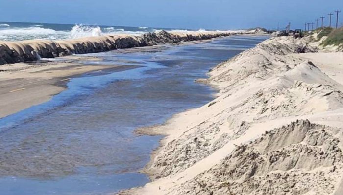
Minor to moderate ocean overwash was reported on the northern end of Ocracoke Island, in northern Buxton, and along the side streets of Rodanthe ahead of Monday’s approximate 12:50 p.m. high tide, however, N.C. Highway 12 remains open on both Hatteras and Ocracoke Islands.
“On this midday Monday, NC12 on Ocracoke remains open with reduced speeds and extreme caution due to sand and ocean overwash on the roadway,” stated the North Carolina Department of Transportation (NCDOT) in a noon update. “The high tide will begin to recede at about 12:30 today.”
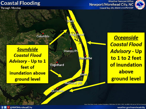
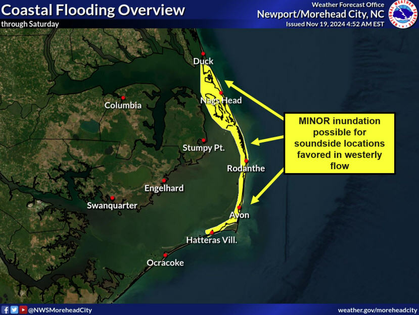
Abnormally high tides have already peaked over the weekend and are on the downtrend, but will still produce minor to locally moderate coastal flooding into Tuesday, according to an update from the National Weather Service (NWS) Newport/Morehead City office.
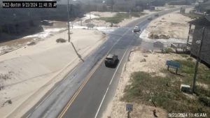
As tide levels slowly fall, building swell from a distant offshore low will continue to produce elevated water levels for the next several days, especially north of Cape Hatteras. Flooding impacts may be enhanced in areas with recently compromised dune structures.
High tides around 12:50 p.m. on Monday and 1:50 p.m. on Tuesday will have the highest impacts, according to the NWS. A Coastal Flood Advisory is in effect for the Outer Banks until Tuesday at 5:00 p.m.
On the soundside, up to one foot of flooding is also possible through Tuesday throughout the Outer Banks.
Two homes in the Rodanthe area also fell on Friday, leading to debris washing ashore from the Tri-Villages south. The Cape Hatteras National Seashore advised visitors to avoid the beach in the northern Rodanthe area in a Saturday morning press release due to dangerous debris in the water and on the shoreline. Click here for more information on the home collapses and ongoing cleanup efforts.
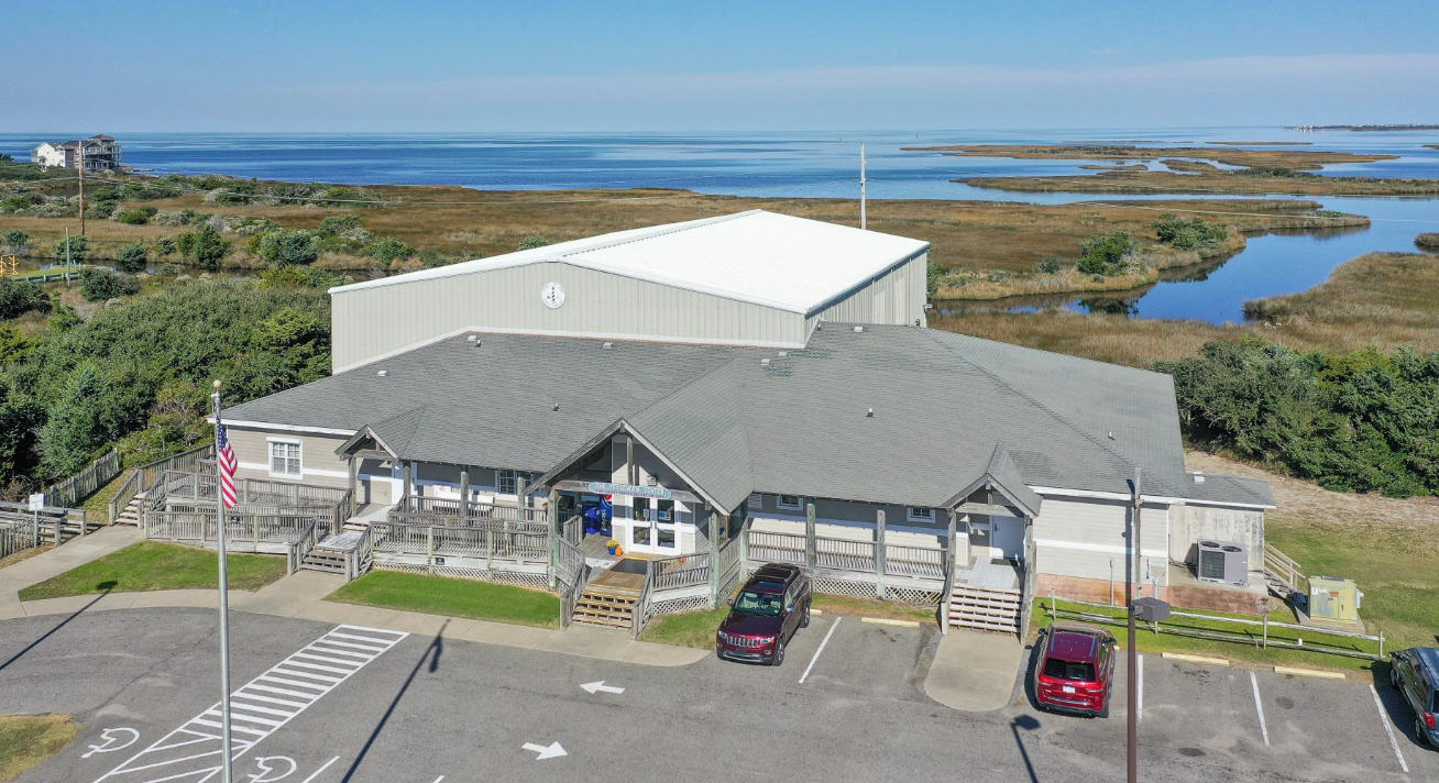
Localized ocean overwash should continue to be expected at known vulnerable spots during the next few high tide cycles, including the north end of Ocracoke Island, the north end of Buxton, and near the Pea Island Visitor Center.
A list of local Outer Banks resources for additional information is below.
- For information on the local forecast, visit weather.gov/mhx for general weather information, or the National Weather Service office in Newport/Morehead City’s Facebook page at https://www.facebook.com/NWSMoreheadCity/.
- For local water level forecasts from the NWS, visit https://water.noaa.gov/wfo/mhx
- For updates regarding road conditions, visit DriveNC.gov and follow the North Carolina Department of Transportation and NCDOT NC 12 on Facebook. The Dare County Sheriff’s Office also shares local road condition updates on its Facebook page.
- To get notified of ferry delays or cancellations, sign up for text and/or email alerts via the N.C. Ferry System’s FINS system: www.ncdot.gov/fins.
- For rip current information and other beach hazards, sign up for text alerts from Dare County, ocean rescue agencies, and the National Weather Service by texting “OBXBeachConditions” to 77295.
