Waterways Commission plans ahead to ensure Rodanthe-Stumpy Point emergency ferry channel remains open
As the 2024 hurricane season winds down, the Dare County Waterways Commission is already taking steps to be prepared before next June rolls around by making sure emergency access to and from Hatteras Island is maintained.
“We were very fortunate to dodge a major bullet,” member Danny Couch said during the commission meeting held Tuesday evening in Manteo, referring to the earlier predictions for an active season.
Scheduling an opportunity for dredging the emergency ferry channel between Rodanthe and Stumpy Point has been restricted by timing and conditions, but the commission is working with the U.S. Army Corps of Engineers for a mutually agreeable solution.
“We were looking at trying to get something preemptive rather than reactive,” Chairman Steve “Creature” Coulter said.
After the county learned in July that a small, shoaled area near the Rodanthe Harbor basin made the entire channel inaccessible to ferry traffic, a Coastal Area Management Act (CAMA) general permit was secured to allow the shoal to be removed with a bucket-and-barge dredge. But now the commission is trying to ensure that the necessary authority is in place for when the channel gets clogged again.
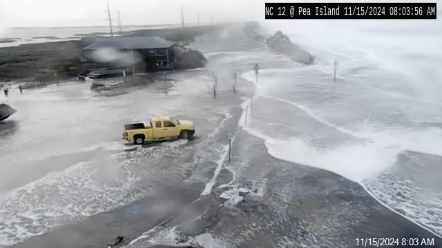
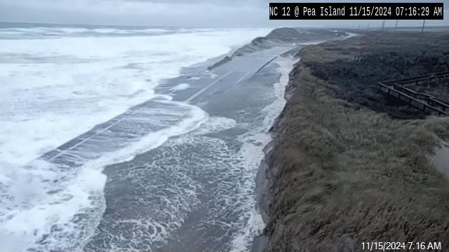
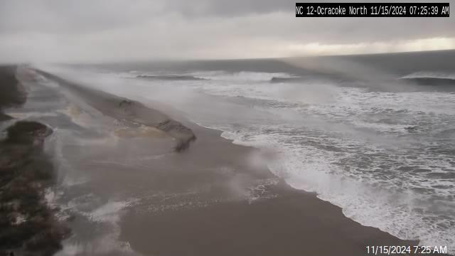
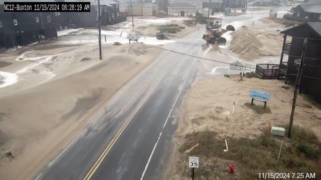
After a series of storms and other emergencies over the years had prevented use of N.C. 12, Hatteras Island’s only highway, the emergency ferry channel was established in 2009 to be available for delivery of emergency supplies and personnel to the island and for evacuation purposes when the road is inaccessible.
Although the Corps is responsible for maintenance of all but the end of the channel in Stumpy Point, which is state-maintained, it would not be able to schedule a project to dredge the Rodanthe shoaling in a timely manner.
“If you tried to work in a project for this winter, we can’t get in there now,” Coulter said, summing up the commission’s concern. “And if we need to get it done next summer, we couldn’t do it until after the hurricane season.”
The bucket-and-barge, which scoops out the sand and dumps it on a barge, removed about 600 cubic yards of material from a 700-foot section of channel in the basin in early September. The project dug six feet deep, restoring safe passage for the ferries, which require at least 5 1/2 feet of water.
Under the current federal authorization, the Corps would bid out a project and schedule a pipeline dredge to do the work no earlier than November. But if the channel shoals again this winter or spring, the county will face the same challenge all over again.
Barton Grover, the Waterways Commission administrator, said the county is continuing discussions with the Corps about the options.
“We just want to get on y’all’s radar,” he said.
Erin Weller, Corps project manager, told commissioners that she will “see what we need to do to proceed.”
“What we’re asking for is to change their authorization to allow for bucket-and-barge dredging any time of year,” Grover explained in a later interview. “The other option is they keep it pipeline dredging, but they make the authorization eight foot instead of six foot.” In that scenario, the deeper channel buys time for the Corps to work later in the year, while still having enough water for the ferries to get through safely.
Bucket-and-barge operations are generally considered less impactful on the environment, including submerged aquatic vegetation, Grover added. The Corps used to have more flexibility to do work in the channel with its old multi-purpose dredge Snell, he said. But in recent years that dredge had been replaced by a new dredge that drafts 8 feet, making it too deep to access the emergency channel.
Even with a presidentially-declared emergency declaration, it would take at least a week to get a dredge to the channel and it could take as much as two weeks to get work done, Grover told the commission. “But the question is, where would Rodanthe be in the priority list?” he asked, referring to competing needs after storms.
Another concern that was raised at the meeting is securing authorization to dredge the ocean bar in Hatteras Inlet at a wider width than is currently proposed. Ken Willson, Dare County dredge projects consultant with Coastal Planning & Engineering of North Carolina, told members that in reviewing the permit modification request that would allow the Miss Katie hopper dredge to dredge the bar, the National Marine Fisheries Service (NMFS) said that the county has not demonstrated the need for it to be deeper and wider than initially proposed.
So far, the natural channel through the ocean bar, which is currently 600 feet wide and about 12 feet deep, has not needed to be dredged. But considering the dramatic changes in recent years seen in Hatteras Inlet — which until the early 2000s had been so stable that only the ferry channel required regular dredging — the commission said it wants to be prepared in case a storm suddenly clogs the passage through the bar.
Rather than the 200 feet width the Fisheries Service is proposing, the members say that the authorized width should be 400 feet to ensure safety for the charter vessels coming in and out during rough conditions. The county is also asking that the authorized depth be increased to a total of 16 feet.
“I’m still tied up with the fact that Oregon Inlet is (authorized at) 400 feet and Ocracoke is 400 feet,” Coulter responded to Willson’s update. “The fact that we’re trying to be proactive and keep everything open . . . their logic doesn’t fit my logic.”
Member Ernie Foster, a charter boat captain, interjected: “I would like for those people to be on a boat that’s broached and tell me we don’t need a wider channel.”
Currently, there is no authorized width because the bar has never been dredged, Coulter said, “We’ve got 600 feet now, but that doesn’t mean we’ll have 600 feet in three months, after a storm rolls in,” he said. “I don’t understand why the NMFS wants to limit us to 200 feet, when everyone else has 400. It’s very much a safety issue.”
Several members also pointed out that Hatteras Inlet is one of only a handful of designated “surf stations” along the East Coast, which are defined as locations that experience at least 36 days of 8-foot or higher surf.
Willson said that could reasonably be a factor that NMFS, which is one of the agencies the Corps consults before issuing the permit modification, would consider.
“What are they worried about,” member Natalie Kavanagh mused, “that we’re going to dredge it just for fun?”
In closing, Grover announced that it would be the last meeting for long-time member Danny Couch, who is also departing from his seat as Hatteras Island member on the Dare County Board of Commissioners.
In thanking the Waterways Commission, Couch expressed gratitude for the significant progress that has been made over the years.
“When the Oregon Inlet Task Force was created, we were in shambles; we were left for dead,” he said about the commission’s oversight role with Hatteras Inlet. “It’s nothing short of miraculous that we’ve been able to achieve what we’ve been able to achieve. We’ve got our reputation back with the sports fishermen. That is big.”


