Coastal low likely will be Tropical Storm Ana by Friday
The National Hurricane Center is giving the low pressure area off the South Carolina coast a 80 percent chance of developing into a tropical system — probably a sub-tropical storm — by Friday. If so, the storm will be named Ana.
However, whether the storm is named or not, it’s likely to bring nasty weather to the southeast coast right into next week.
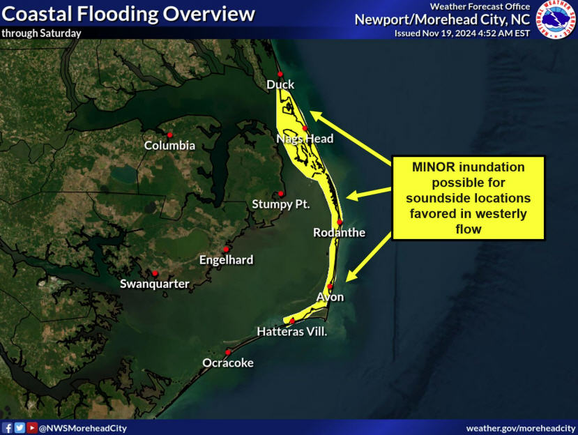
John Elardo, a meteorologist at the National Weather Service in Newport, N.C., said this afternoon that although the track and intensity of the low pressure area are still uncertain, it is probable that the major effects will remain south of Hatteras and Ocracoke.
Still, the islands can expect showery weather — but not steady rainfall — through the weekend, gusty winds, heavy seas, and an increased threat of rip currents. In our area, he said, there still could be some minor issues with beach erosion and ocean overwash, especially with the long duration of the northeast, east, then southeast winds.
A Hurricane Hunter aircraft this morning flew through the low pressure, called Invest 90L, which is located about 230 miles southeast of the North Carolina-South Carolina border. The Hurricane Hunters measured winds of 40 to 45 mph in the area but found no well-defined center and not enough thunderstorms to upgrade it to sub-tropical or tropical system.
In its 2 p.m. update, the Hurricane Center said, “Environmental conditions are favorable for some additional development, and any increase in the organization of the associated
thunderstorm activity would result in the formation of a subtropical cyclone. The low is expected to drift to the north or north-northwest over the next couple of days, and interests along the southeastern coast of the United States should continue to monitor the progress of this system.”
Forecasters at the National Weather Service in Newport, N.C., say that a high pressure to the north is blocking the low from moving. That, combined with very weak upper level steering currents, means the low pressure is likely to move very little through the weekend.
Computer models, forecasters say, are coming into good agreement that the stormy weather will move back toward the South Carolina coast on Friday, stall over the weekend, then weaken and lift north over the North Carolina coast Sunday night into Monday. The system may not totally clear the coast until it is pushed out by a cold front on Tuesday or so.
The Weather Service has issued a high surf advisory from Cape Hatteras south for a high threat of rip currents and heavy seas. Breaking waves are expected to build to 6 to 9 feet by tonight south of the Cape.
“Conditions will also be rough for mariners,” Elardo said. A small-craft advisory is in effect for area waters until 8 p.m. Monday.
There is a chance for rain every day through next Tuesday.
The official start of the hurricane season is not until June 1. Tropical or sub-tropical systems are unusual this early in the year, but not unheard of.
According to weather records dating back to 1851, 39 tropical storms have formed in the Atlantic basin before June 1. The last time this happened was in 2012 when two tropical systems formed in May — Alberto and Beryl. Beryl came ashore in north Florida as a tropical storm after meandering around in the ocean.
Residents of and visitors to Hatteras and Ocracoke should continue to check the latest forecasts on the storm at http://www.weather.gov/mhx/.


