Public has chance to weigh in on Buxton Beach restoration plan
Hatteras islanders will have a chance to weigh-in next week on the long-sought plan to widen the beach in Buxton, which is currently out for public review.
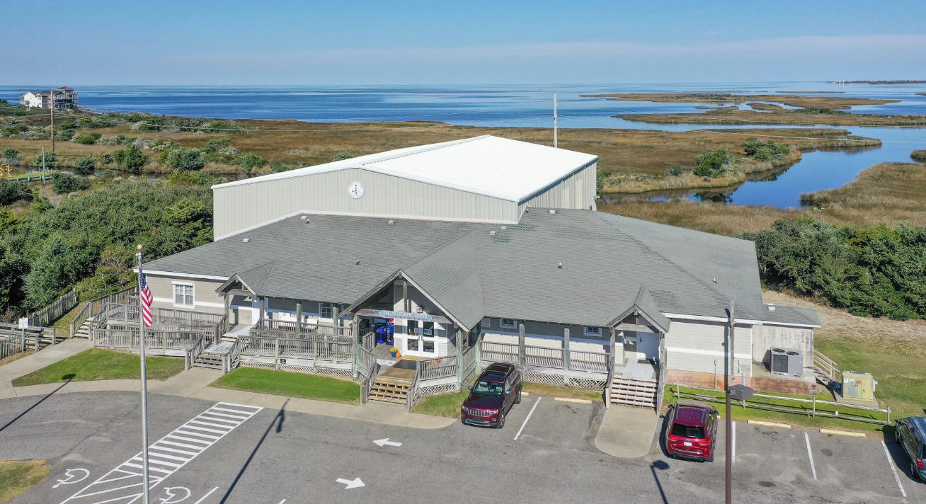
A meeting is scheduled on Thursday, Oct. 1, from 6 until 7 p.m. at the Fessenden Center, when people will have an opportunity to ask questions and view maps of the proposed project. The public can also submit written comments on the plan until Oct. 19.
Dare County has requested a special use permit from the National Park Service to do the project, which is estimated to cost about $25 million and is aimed at protecting Highway 12 from the encroaching Atlantic Ocean. The county plans to fund the project with revenue from a special 2-cent occupancy tax.
The Park Service had planned to do a draft Environmental Impact Statement on the restoration project, but announced in June that it would do a less complicated Environmental Assessment (EA) instead.
Park officials also announced in June that the U.S. Army Corps of Engineers, which also must permit the project and was already working on an EA, would be the lead federal agency. The Army Corps released the document last week.
The preferred alternative in the draft environmental assessment calls for a nourishment project to be done between May and August 2016, depositing up to 2.6 million cubic yards of sand on about 3 miles of beach. The sand would be taken from offshore shoals located about 1.7 miles due east of the former site of the Cape Hatteras Lighthouse.
Another alternative that would do the project in the winter months, when there is less impact on protected wildlife species, was rejected because of the high risk to contractors. The winter conditions would also only allow a project using about half the amount of sand and less than half as long.
If the preferred summer alternative is chosen, the beach would be widened about 140 feet after adjustment, and would be expected to last about 10 years. The winter alternative, on the other hand, would result in a beach about half as wide and that would last between 3 to 5 years.
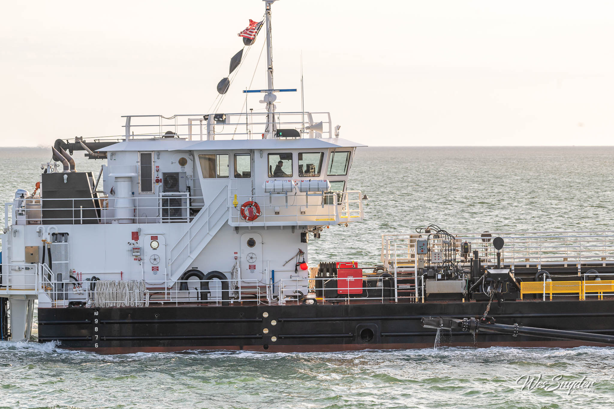
According to the proposed EA, the summer project would be expected to take about four months if one hopper or suction-cutter dredge was used. If two dredges were used, the construction time could be pared to about 65 days.
Since the area has not been dredged and nourished since the 1970s, the final costs are uncertain, the document said. If Dare County finds that costs are too high, the chosen alternative also could be done with as little as 1.9 million cubic yards.
Buxton, with one of the highest erosion rates on Hatteras Island, has been losing about 115,000 to 130,000 cubic yards of beach every year. The chosen alternative – No. 3 in the plan – would provide up to about 1.7 million cubic yards of sand to erode, after factoring out the deficit volume of about 900,000 cubic yards.
Work on the proposed alternative would likely be done in four sections of about 3,000 to 4,000 feet each, taking about two to three weeks in each part. That would make the active construction time about 2.5 months.
The proposed offshore borrow area is 2,250 feet by 8,500 feet, encompassing about 440 acres. The area would be excavated about 4 feet deep.
Rising seas are factored into the nourishment plan. According to the proposal, seas at Oregon Inlet, 35 miles north of Buxton, rose 4.3 inches between 1977 and 2013. Seas are projected to rise an additional 6.3 inches to 7.3 inches by 2045.
If the first alternative – do nothing – is chosen, the document warns of continued risks of economic losses and risk to life and infrastructure. Hatteras Island has an erosion rate in some areas as high as 12 feet a year, although some spots – Waves and Salvo – have beaches that are accreting about 5 feet a year.
On average, the island is about 1,800 feet wide. The so-called Buxton Action Area is less than 600 feet wide.
The 30-day comment period ends on Oct. 19. Comments regarding the project may be submitted to Beach Restoration to Protect NC Highway 12, Clean Water Act 404 and NPS Special Use Permits to the USACE at:
US Army Corps of Engineers
Washington Regulatory Field Office
2407 W. 5th Street
Washington, North Carolina 27889
ATTN: Raleigh W. Bland, PWS
For more information, contact Dennis Brookie, Project Manager for the National Park Service at 303-969-2493 or Raleigh Bland, Project Manager with the USACE at 910-251-4564.
Information may also be found on the park’s PEPC website at: http://parkplanning.nps.gov/BeachRestorationPermits and the entire document is available at http://parkplanning.nps.gov/document.cfm?parkID=358&projectID=55120&documentID=68312.


