Tropical Storm Kate not forecast to threaten U.S. coast
Late-forming Tropical Storm Kate, which came together overnight near the Bahamas, is expected to strengthen slightly over the next few days but move out to sea, well away from the U.S. East Coast.
At 10 a.m. this morning, Kate — the 11th tropical system of the season — was located in the central Bahamas, about 170 miles southeast of Great Abaco Island, with winds of 45 mph and heading northwest at 15 mph.
Kate, being steered by a subtropical high pressure system over the central Atlantic and a trough over the eastern Gulf of Mexico, is forecast to turn more to the north tonight and northeast tomorrow, on a path that would take it between the Outer Banks and Bermuda.
The storm may eventually strengthen to 65 mph before it is absorbed by an extra-tropical system in the next two or three days.
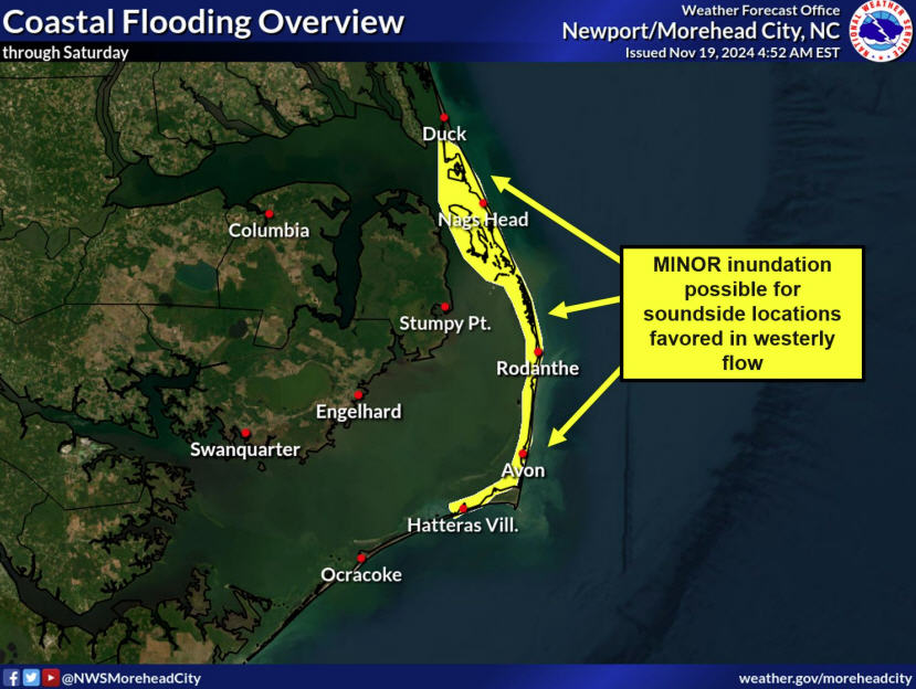
Meanwhile, a lesser but closer-to-home coastal low is bring rain to the Outer Banks.
The National Weather Service in Morehead City has issued a flood watch for the area, including Hatteras and Ocracoke islands, until 10 a.m. on Tuesday for the possibility of 2 to 4 inches of rain, which could lead to flooding in low-lying areas and those with poor drainage.
Heavy rain is expected through the day today and overnight. The rain is forecast to end from west to east on Tuesday, with sunny skies and warmer temperatures expected to return mid-week.
Another cold front late in the week promises continued sunny skies but cooler temperatures for the weekend.
For more information and updated forecasts, go to www.weather.gov/mhx.


