Focus on Oregon Inlet: Fix for continual shoaling eludes even the governor
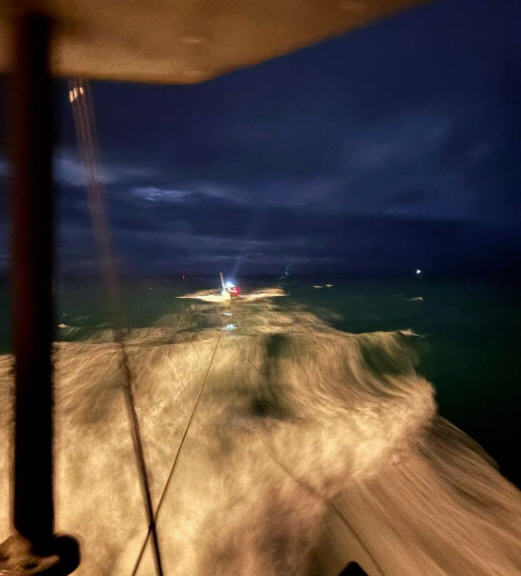
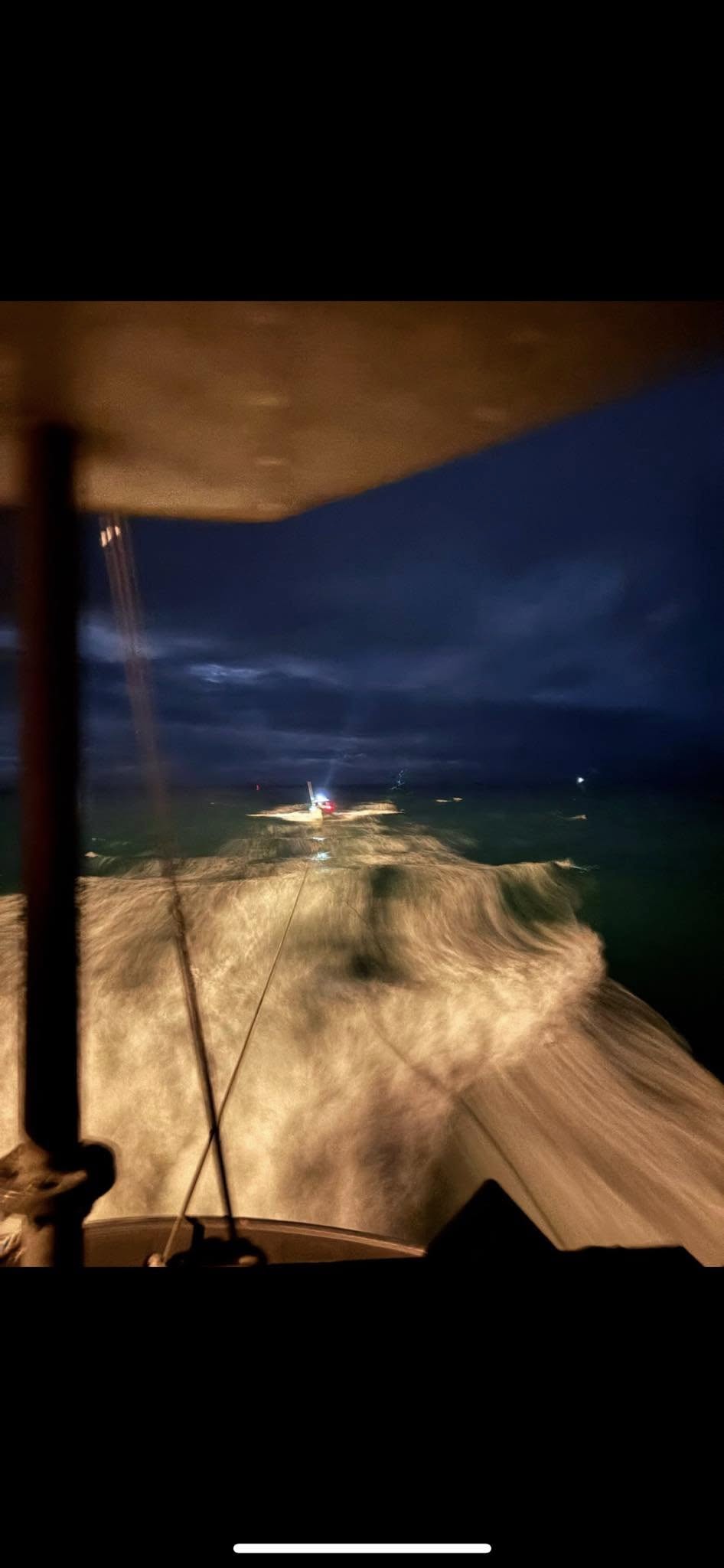
The U.S. Army Corps of Engineers has agreed to move the dredge Currituck to Oregon Inlet to provide faster, more effective dredging capabilities for that crucial navigation channel. The Currituck will begin work Saturday, April 16, and will immediately begin dredging around the clock.
The current vessel stationed in the inlet, the dredge Merritt, will transfer to another location temporarily. The Corps of Engineers and the federal government will cover the expenses of moving the dredge Currituck from Ocean City, Md., and operating it through mid-May.
The North Carolina Congressional delegation, Gov. Bev Purdue, Dare County officials and others have continued to lobby the Army Corps and the federal government to address the problem of shoaling in the inlet, which is threatening boat traffic.
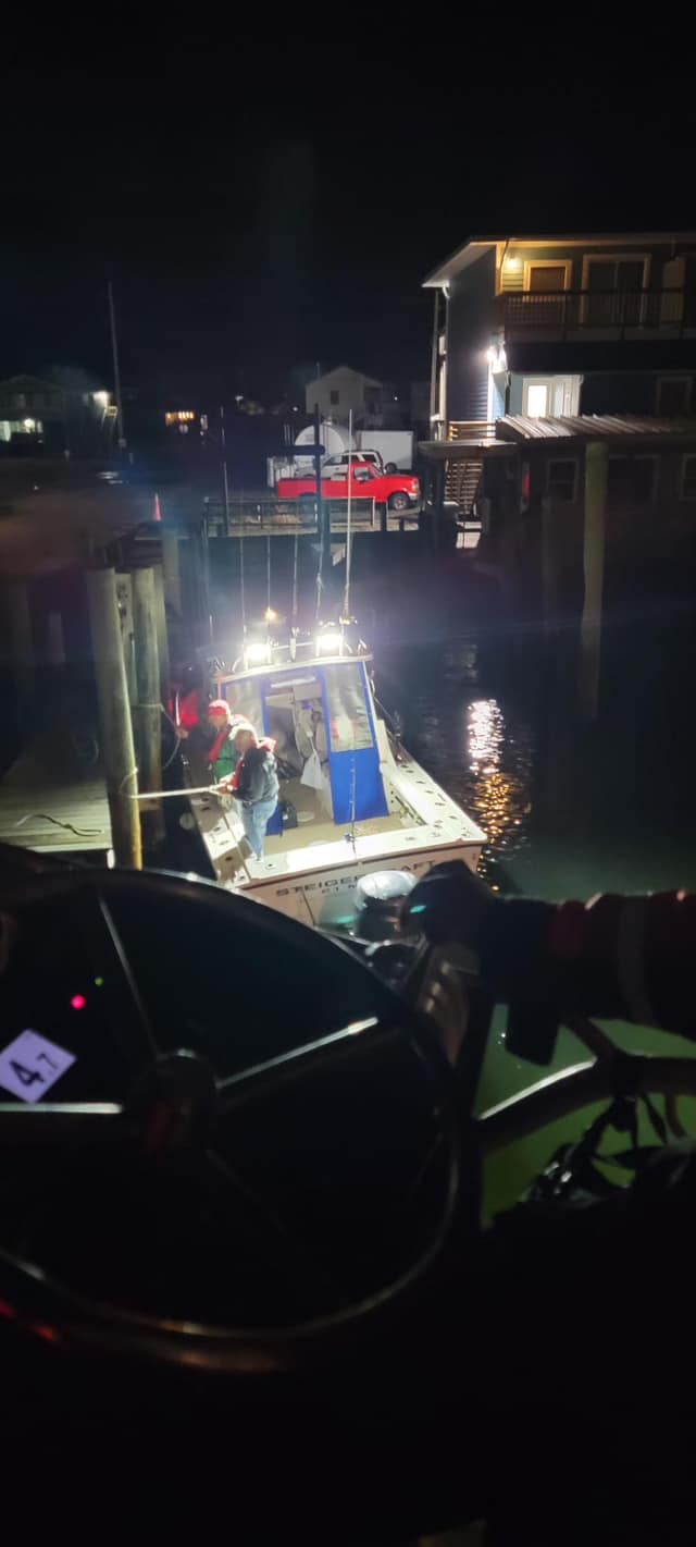
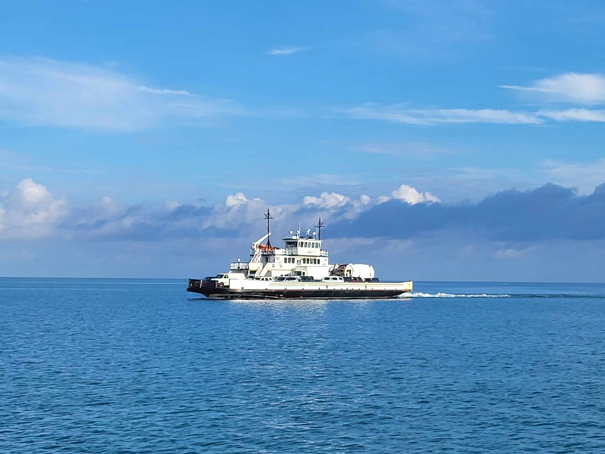
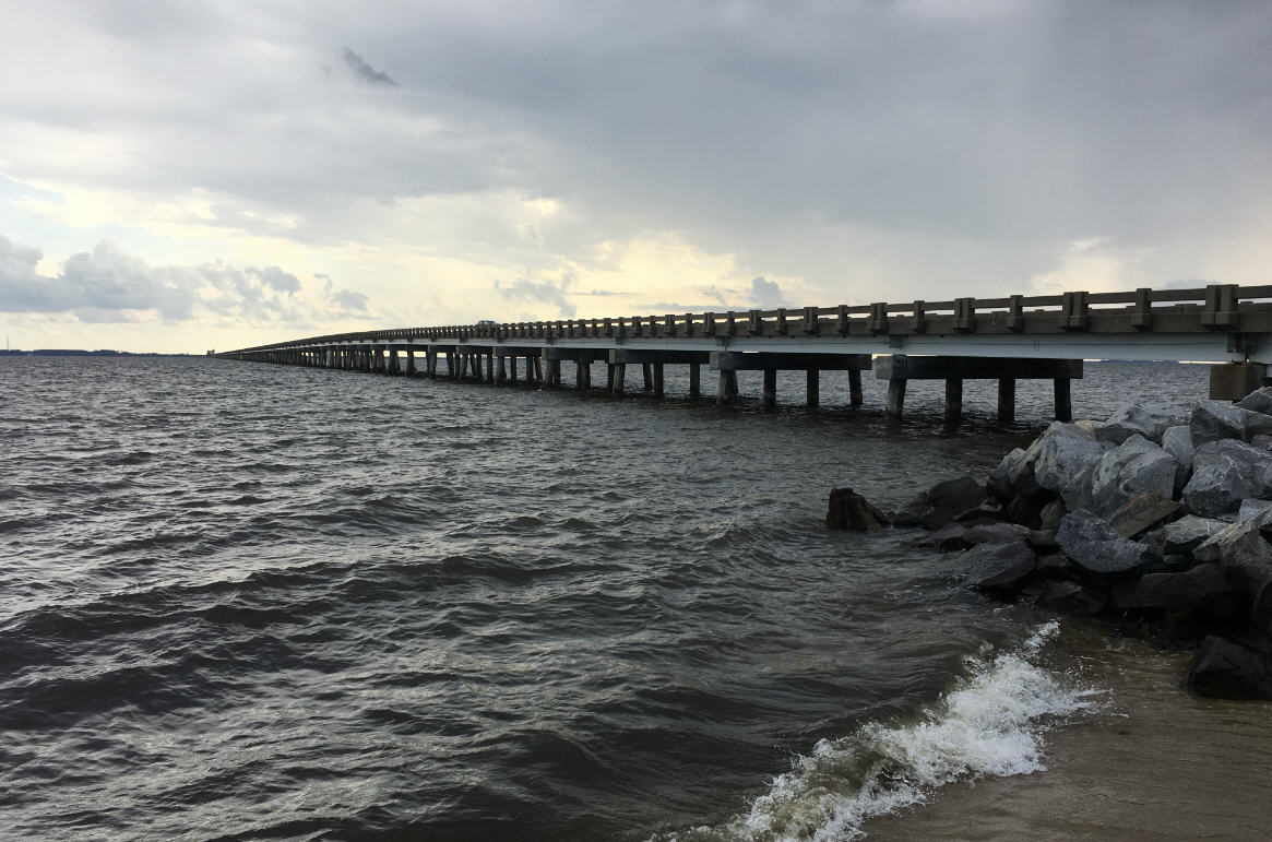
Large trawlers can no longer pass through the inlet, and shoaling has caused some smaller private and recreational charter boats to start using an alternate channel under the Bonner Bridge. The bridge pilings in this alternate channel are not protected with fenders, and a boat collision could threaten the safety of the public that must travel over the aging span.
Perdue visited Dare County last Monday to tour the inlet and to emphasize her support for getting the channel cleared and, specifically, getting the large hopper dredge Currituck. She was told the Currituck would not be available until mid-June.
Today, Army Corps Wilmington District Commander, Col. Jeff Ryscavage, announced that the Currituck would be here tomorrow.
“I visited the Oregon Inlet with Gov. Perdue Monday,” Ryscavage said, “and understand her concern about the severe shoaling in the inlet. We have scrubbed our dredging schedule. At this time, we have an opportunity to move our split-hull dredge Currituck into Oregon Inlet on the 16th of April. We have sufficient funds to keep Currituck there for 30 days, working 24 hours a day.”
“The fishing industry is more than just a way to make a living – it is part of the Outer Banks cultural heritage and brings millions of dollars to North Carolina every year,” said Perdue. “It’s not just fishing jobs at stake if the inlet closes – it’s our tourism, our restaurants, our packing houses and our maintenance yards. I am committed to working with the Corps and local officials to protect those jobs and keep Oregon Inlet open, but at the end of the day, we need support from the feds.”
“Dredging at Oregon Inlet is critical to North Carolina’s coastal economy and public safety,” said Sen. Kay Hagan, D-N.C. “The Corps agreement to send the Currituck to dredge the inlet is welcome news, but we need a long-term funding solution. I remain committed to working with my colleagues in Congress, the U.S. Coast Guard, the Corps of Engineers, Gov. Bev Perdue, and Dare County officials to explore all possible options to keep this channel clear and ensure that boats are able to pass safely under Bonner Bridge.”
Perdue sent a letter urging officials in Washington to prioritize funding for the Outer Banks dredging operations. Since the governor’s visit to Nags Head on Monday, her staff has kept the pressure up on North Carolina’s Congressional delegation and White House officials. Today, she urged locals to do the same.
“Washington cannot forget the real people who depend on the fishing industry. They should not ignore the hundreds of millions of dollars that pump into the economy,” Perdue said.
The governor has pledged to work with the Dare County commissioners to find a solution for at least part of the season if the federal government doesn’t come through. “I’m confident we can find a solution to get us through the season, but we have to work together,” she said.
In the meantime, the dredge Currituck will move quickly to open the inlet as much as possible.
According to the Corps, the advantages of using the Currituck are threefold:
It is well suited to 24 hour operations, thus it can move about 11,600 cubic yards of material daily, as opposed to the Merritt’s 6,000 cubic years each day.
It is able to carry dredged material further away from the navigation channel, making its dredging efforts more effective.
It can deposit dredged material in deep water south of the Bonner Bridge navigation span, which can indirectly serve to shore up the bridge structure.
Beckoned by Outer Banks officials to assess the shoaling problem at sand-clogged Oregon Inlet, Gov. Beverly Perdue came prepared on Monday, April 11, to authorize state money to help dredge the channel.
Instead, her efforts were frustrated, making her one of a long line of state and local officials who have, for more than 40 years, tried and failed to tame cries of alarm about conditions at one of the most dynamic inlets on the East Coast.
“We just left a meeting with the Coast Guard and the Corps, and I have to tell you, if I were a cussing woman, I’d be cussing,” Perdue told the audience at the Outer Banks Chamber of Commerce Legislative Breakfast. “It was not a pleasant meeting.”
Perdue said she was told by the U.S. Army Corps of Engineers that the dredge Currituck, which is needed to do the job, couldn’t get here until mid-June. She said she would talk to the state’s congressional delegation to see if there is a way to get it here sooner. If so, she would free up the money, which state Sen. Stan White said was $1.5 million.
Last week, water depth in the inlet’s main channel, which is supposed to be 14 feet, was measuring about 6 feet. But a preliminary survey on Monday showed that the depth in the channel east of the Bonner Bridge had increased to 8 to 9 feet.
Although the inlet has remained passable for charter fishing vessels and small commercial boats, larger fishing trawlers, which draw about 11 feet, have not been able to safely transit the inlet for weeks — a seasonal hazard that is typically relieved when the wind shifts in the late spring and summer storms blow through.
“I’d say what’s happening out there is pretty chaotic and random,” said Billy Edge, professor of civil engineering at North Carolina State University and the head of coastal processes and engineering at the University of North Carolina Coastal Studies Institute.
“I don’t see what’s happening now as particularly unusual from an inlet standpoint. We need a couple of big flood events to drive the sediment out.”
Headaches with the inlet began even before the Herbert C. Bonner Bridge was completed in 1963, with the waterway, the only ocean-to-sound passage between Virginia and Hatteras, drastically rearranged the year before by the monstrous Ash Wednesday Storm.
Suddenly, the catwalks on the bridge’s north end were over more sand than water, a clue to future woes.
As it was, the inlet had already migrated nearly two miles to the south since it was slashed out by a hurricane in September, 1846, and its predestined path has since made maintenance of the channel a never-ending, costly, and mostly ineffective struggle.
Wanchese Seafood Industrial Park was built by the state in 1981 to support the Outer Banks fishing industry, but it was quickly dismissed as a boondoggle. Before the paint was dry, it was evident that the huge fishing trawlers would have trouble navigating the inlet, especially in winter, which is, unfortunately, the best fishing season.
Vessels soon adapted by frequently bypassing Wanchese for deeper water ports in Hatteras or Virginia. In time, the seafood park successfully switched its focus to businesses like boat building, marinas, and fishing supply shops.
Watermen, meanwhile, had continued to wage a battle to build twin jetties to anchor the inlet, a $100 million project Congress authorized in 1970 but never funded. In 1989, the state Department of Transportation was permitted to build a terminal groin on the northern tip of Pea Island to stabilize the bridge, but an effort to have the state build a short rock groin on the north end as a stop-gap shoaling control measure was defeated in 1997.
Despite ceaseless lobbying from the Outer Banks, the jetty project was finally killed in 2003 — but not before a promise was made by the federal government to better maintain the waterway.
That’s a promise that has not been kept, watermen contend. Dredging costs have averaged around $5.5 million annually in recent years, but budget proposals are often short. And this year the proposed $1 million appropriation would cover only survey costs.
“It’s the toughest budget year we’ve ever had,” said Bob Peele, inlet liaison for the state Department of Commerce. “We’ve had problems with trawlers getting out in the past. The difference this year is we have no federal contract coming to dig out the trawlers.
“That’s what’s freaking everybody out.”
Peele, the director of Wanchese seafood park, said there are about 20 trawlers registered there, and about 10 in Engelhard.
A big dredging project completed with federal stimulus funds left the inlet deep and navigable until February. And then, practically overnight, it was a mess and became impassable for the trawlers.
The shoaling of the main channel also tempted boat captains to begin using an alternate channel to the south.
The inlet’s main channel runs underneath the center span of the aging Bonner Bridge, which has a fender system to protect pilings if a boat bumps against them. As they have in previous years, some vessels were using the alternative channel of deeper water that passes under an unfendered span.
The Coast Guard had previously looked the other way, but after some reports that boats had struck the unfendered bridge pilings, concerns mounted about the safety of the bridge and the traveling public.
As a result, the Coast Guard is in the process of issuing a temporary rule restricting vessels 80 feet and 100 gross tons from using the inlet, a measure that will allow violators to be cited, according to Capt. Anthony Popiel, Coast Guard sector commander for North Carolina.
“We’re trying to be proactive,” he said.
Chief Hank Macchio, Coast Guard officer in charge of the Aids to Navigation Team in Wanchese, said that traffic in the inlet must now pass under the center span of the bridge. He said that the fragile condition of the bridge, in light of the alleged strikes, required stricter measures.
None of the small vessels that reportedly hit the pilings in the last two or three weeks while using the alternate channel had reported the incident, as required, said Coast Guard Lt. Greg Mosko, supervisor for Marine Safety Detachment. The strikes are being investigated, he said.
Oregon Inlet is notorious for currents that are so strong even the mighty workhorse dredges struggle to stay on course. And it’s those same powerful forces, geology and wind, that make Oregon Inlet, though untamable, unlikely to close. Pressure from the Pamlico Sound waters, which are seeking release into the ocean, is intense.
“What’s happened in the past is that the inlet has gotten deeper and deeper to carry the same volume of water,” said East Carolina University geology professor Stan Riggs. “In 1995, I went out through the inlet one time and it was 75 feet deep. If it gets that deep, that’s making up for the lack of width.”
Riggs said he has heard of times when the center spans of the bridge were floating in the water because the pilings were undermined. “The currents are incredible,” he said.
The inlet still wants to move south, Riggs said, but the groin on the south side has changed the natural movement of sand. So the sand builds up in the channel that doesn’t want to be there. Part of the recent problems, he said, likely stem from a series of smaller storms that allowed sand to accumulate.
“If we get a big storm coming through, that storm will probably blow it out,” he said. “An inlet breathes. When a storm comes through, it opens up to let it in and let it out. The problem is when you jetty an inlet, you stop that process.”
And when you construct a bridge with a fixed navigation span in a place like Oregon Inlet, there might be a problem.
“The people who designed that bridge must have been from Oklahoma,” Riggs said.
Roger Bullock, chief of navigation for the U.S. Army Corps of Engineers, said that no one can explain why the spit on the northeast side of the inlet is shoaling like it is now, including old time watermen who have fished the inlet for generations.
“They’ve never seen what they’ve seen that inlet do this year,” he said.
Bullock, who has worked for nearly two decades in the inlet, has seen storms come through and clear tons of sand out in a flash. In 1993, he saw a storm bring in a 10-foot tide that picked boats up at the fishing center and spiked them on pilings. But nothing like that kind of storm has happened lately.
“We haven’t had the water push out,” he said. “Maybe we’ll be blessed with southwest winds. That will help us out there.
“That place has been crazy this year,” he added. “It’s been very challenging.”
Subject
Name
(required, will not be published)
(required, will not be published)
City :
State :
Your Comments:
May be posted on the Letters to the Editor page at the discretion of the editor.
May be posted on the Letters to the Editor page at the discretion of the editor.
May be posted on the Letters to the Editor page at the discretion of the editor.
May be posted on the Letters to the Editor page at the discretion of the editor.


