UPDATE: Bonnie could become tropical storm again
By IRENE NOLAN
The National Hurricane Center said in its 5 p.m. update on Tropical Depression Bonnie that the storm’s maximum sustained winds have increased to 35 mph with higher gusts and that some additional strengthening is possible overnight.
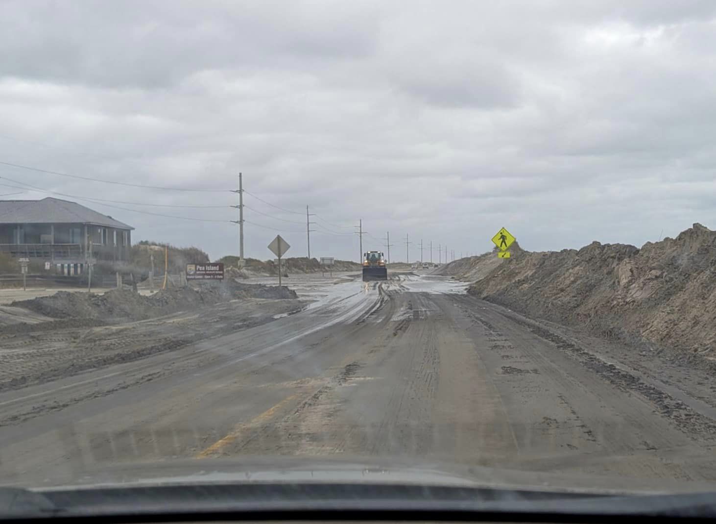
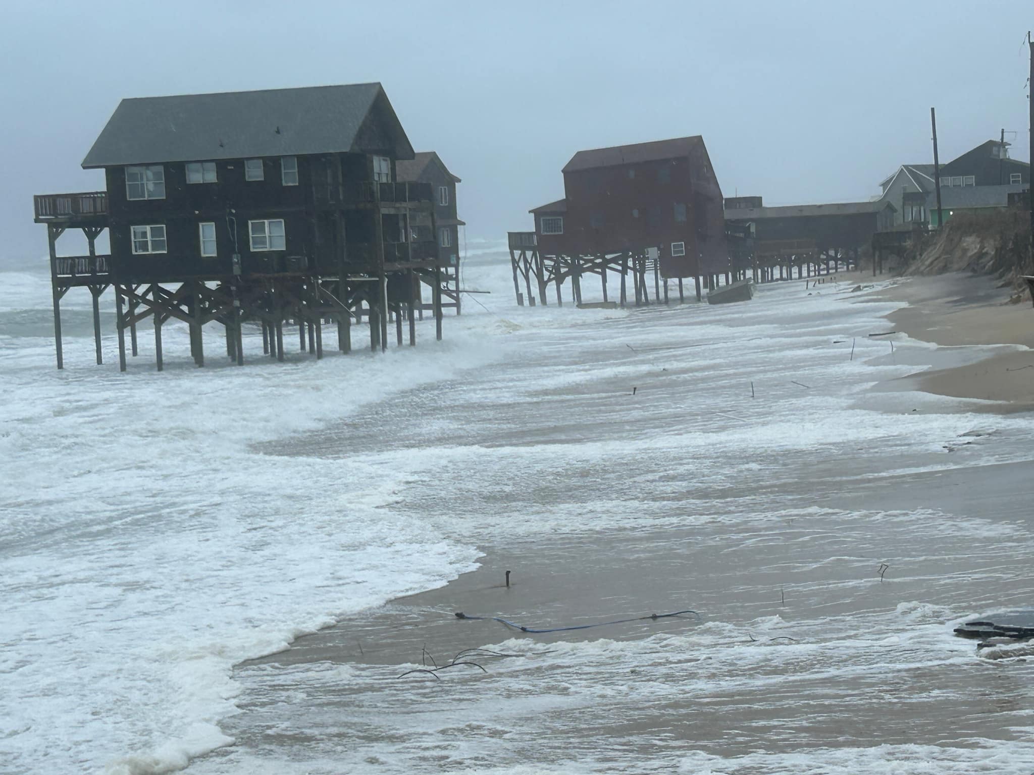
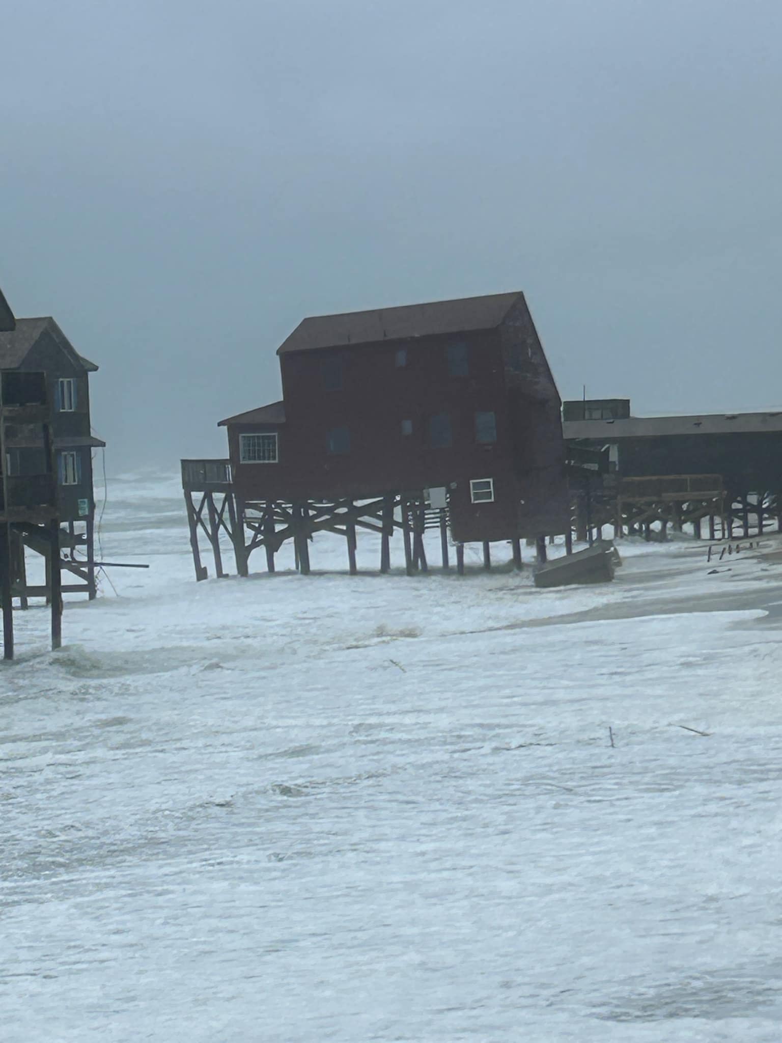
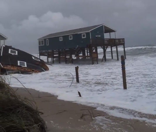
The Hurricane Center says Bonnie could become a tropical storm again, but if it does, the upgrade will be short lived. And, the heavy rainfall has about ended on the Outer Banks.
Bonnie is expected to weaken on Friday, and the storm is expected to become a post-tropical low pressure area again on Friday night or Saturday.
At 5 p.m., Tropical Depression Bonnie was located 40 miles east-northeast of Cape Hatteras and was continuing to move northeast at 6 mph. A turn toward the east-northeast and an increase in forward speed are expected tonight or on Friday. On the forecast track, the center of Bonnie should move away from the coast of North Carolina tonight.
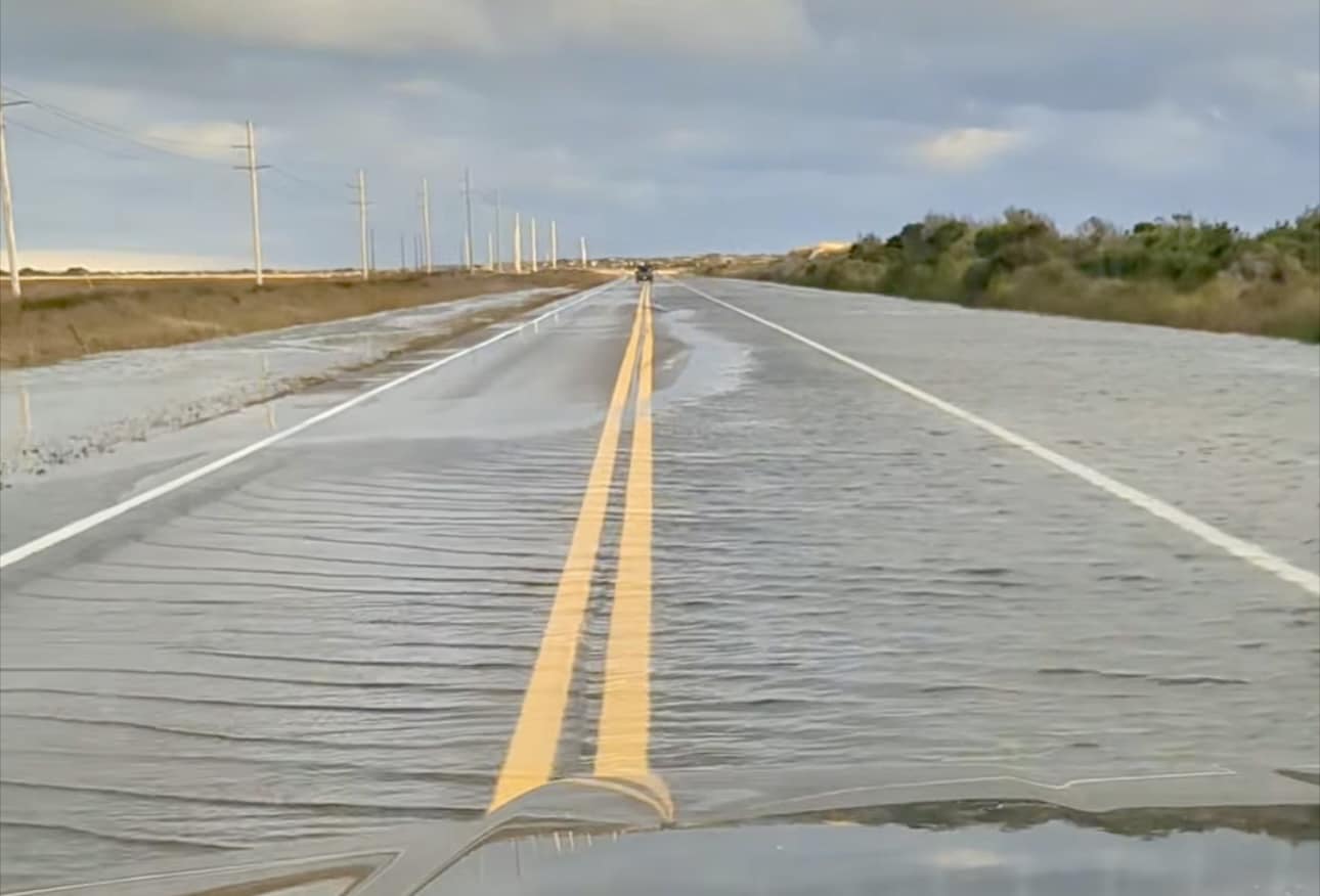
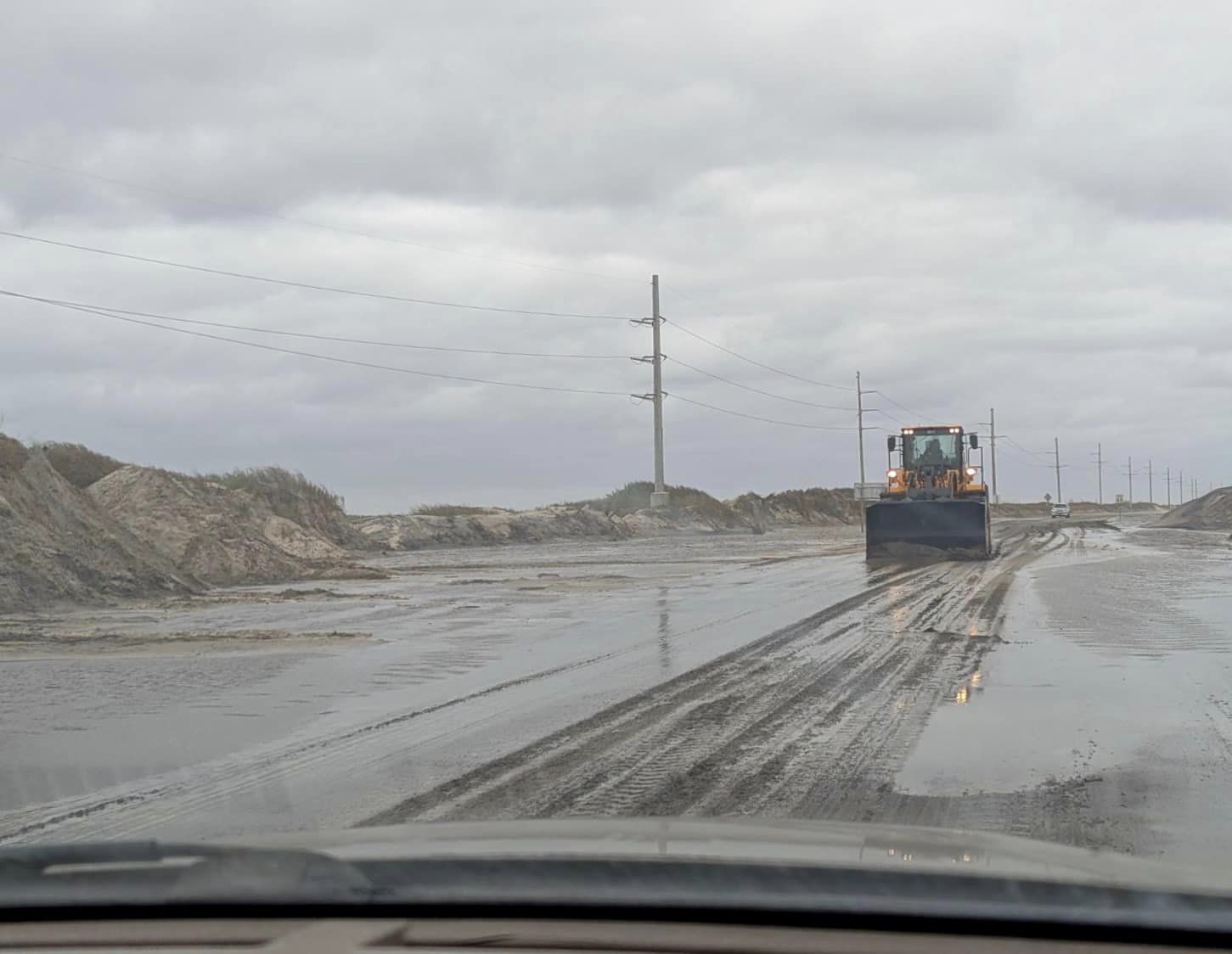
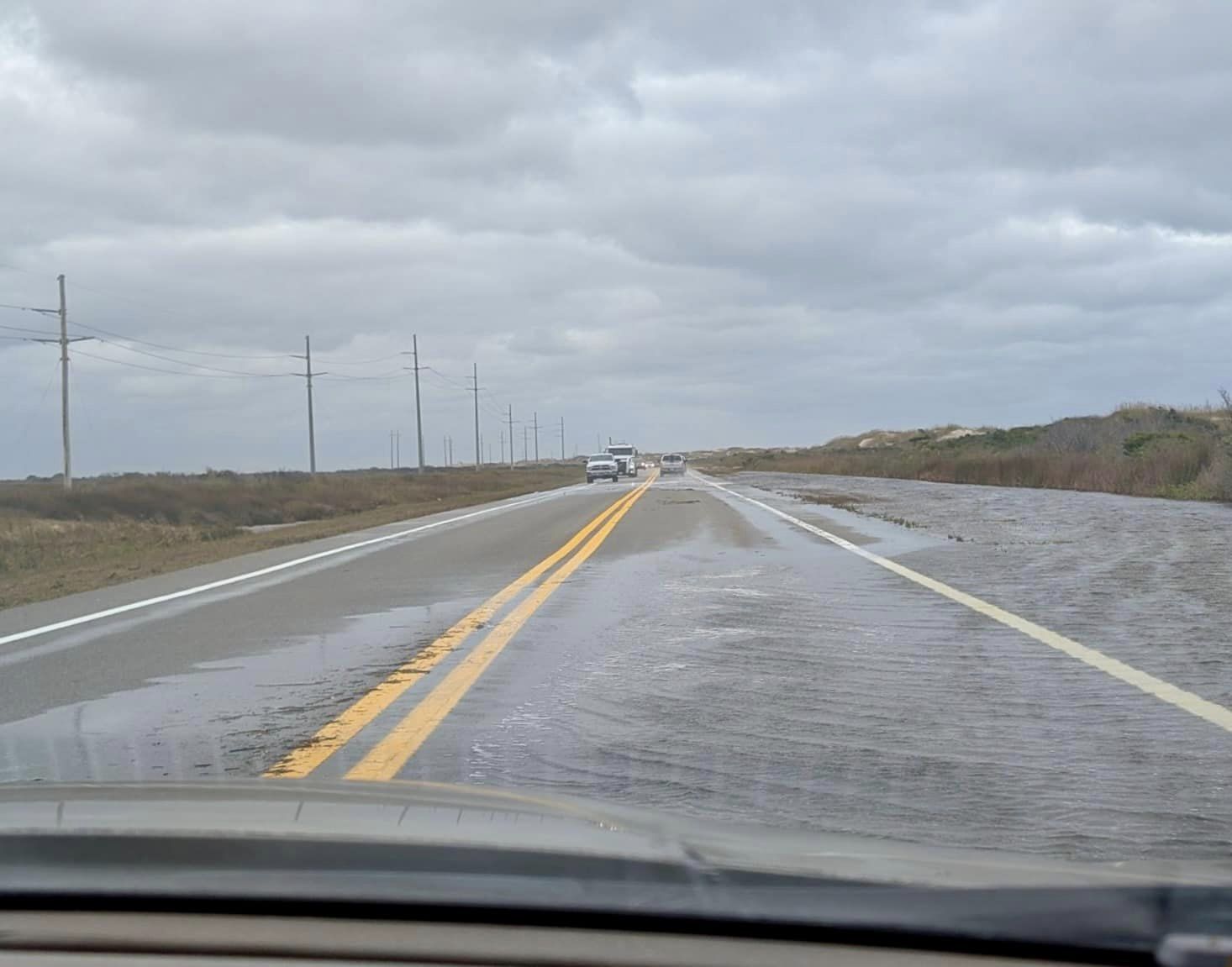
The rainfall stopped on southern Hatteras late Thursday afternoon and will end this evening on northern Hatteras. The National Weather Service has extended the flood watch for the area until 7 p.m. on Thursday.
Another rainfall record was also set today at Billy Mitchell Airport in Frisco. The Weather Service reports that 4.33 inches of rain fell today, breaking the old record of 3.57 inches set in 2005.
Friday is forecast to be partly sunny on Hatteras and Ocracoke with a high in the low 80s and a 40 percent chance of showers, mostly in the afternoon.
For more information on the forecast, go to the local Weather Service website at www.weather.gov/mhx/. Or check out the local office on Facebook at https://www.facebook.com/NWSMoreheadCity/?fref=ts.


